Ha Long Bay pictures
A captioned gallery of 144 photographs of the bay and its neighbours, by more than 50 photographers and archives, each credited with its licence.
The islands and the sea
Press a photograph to see it full size, with its caption and credit.
-
Vịnh Hạ Long Low sun lights steep limestone cliffs behind a cruise boat and a small boat in Hạ Long Bay.
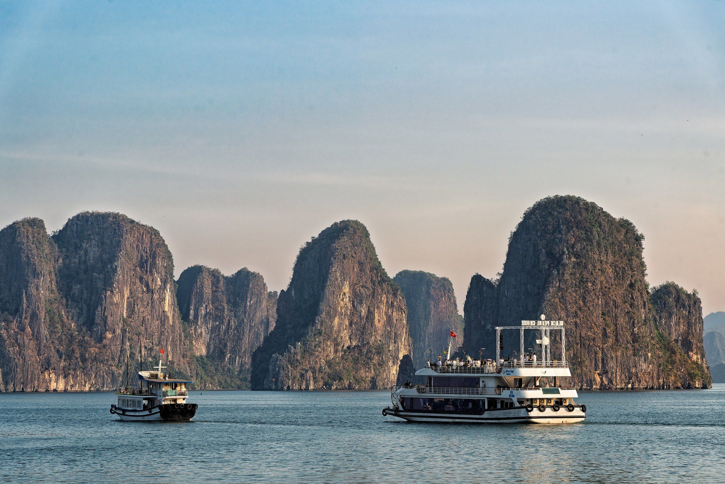
Vịnh Hạ Long Low sun lights steep limestone cliffs behind a cruise boat and a small boat in Hạ Long Bay. Photo: Mustang Joe, CC0 -
Vịnh Hạ Long Tree-covered limestone islands line a calm stretch of Hạ Long Bay under scattered cloud.
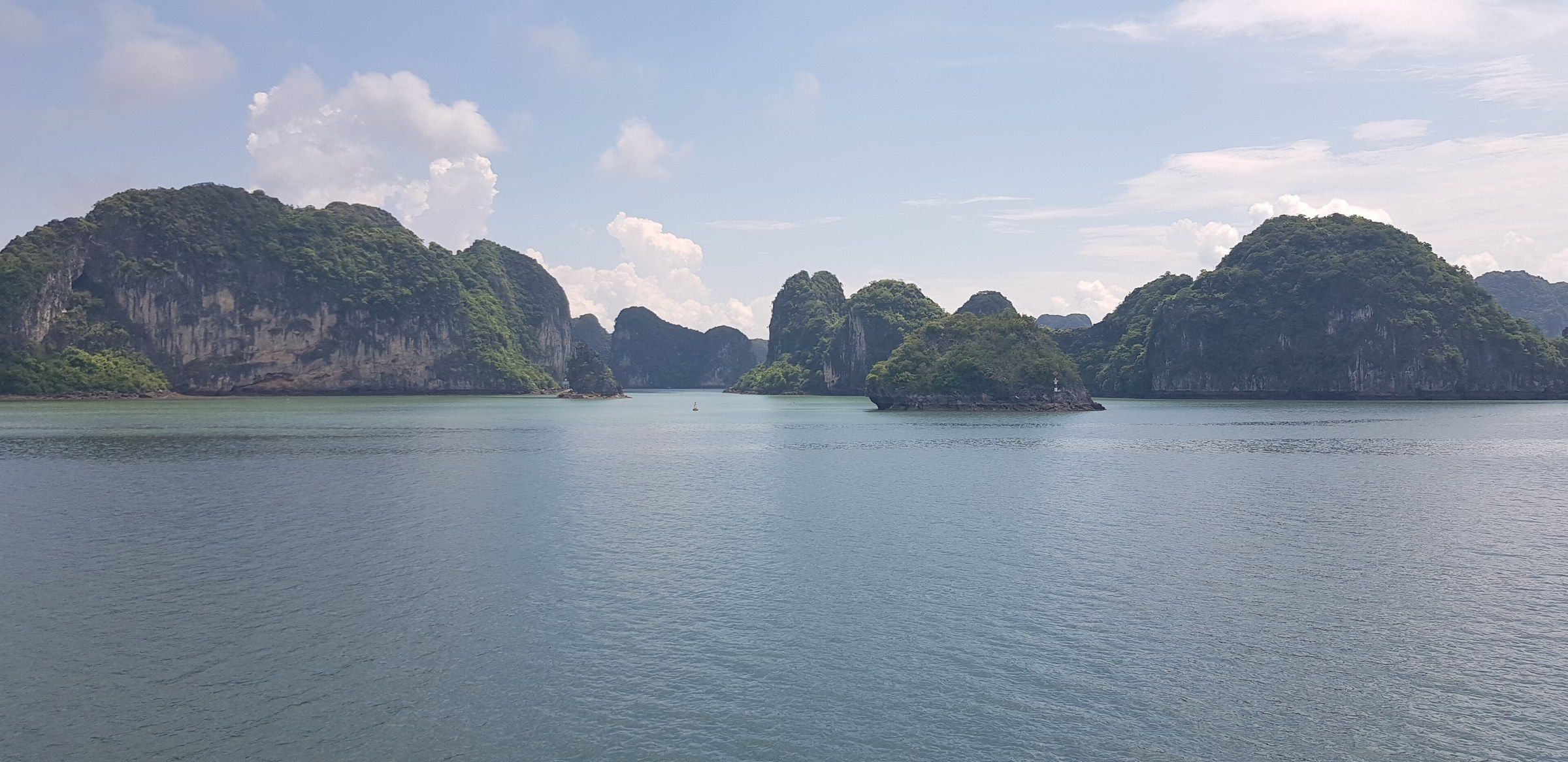
Vịnh Hạ Long Tree-covered limestone islands line a calm stretch of Hạ Long Bay under scattered cloud. Photo: Clément Chevallier, CC BY-SA 4.0 -
Vịnh Hạ Long Limestone islets and small boats seen from a high viewpoint over the water in Hạ Long Bay.
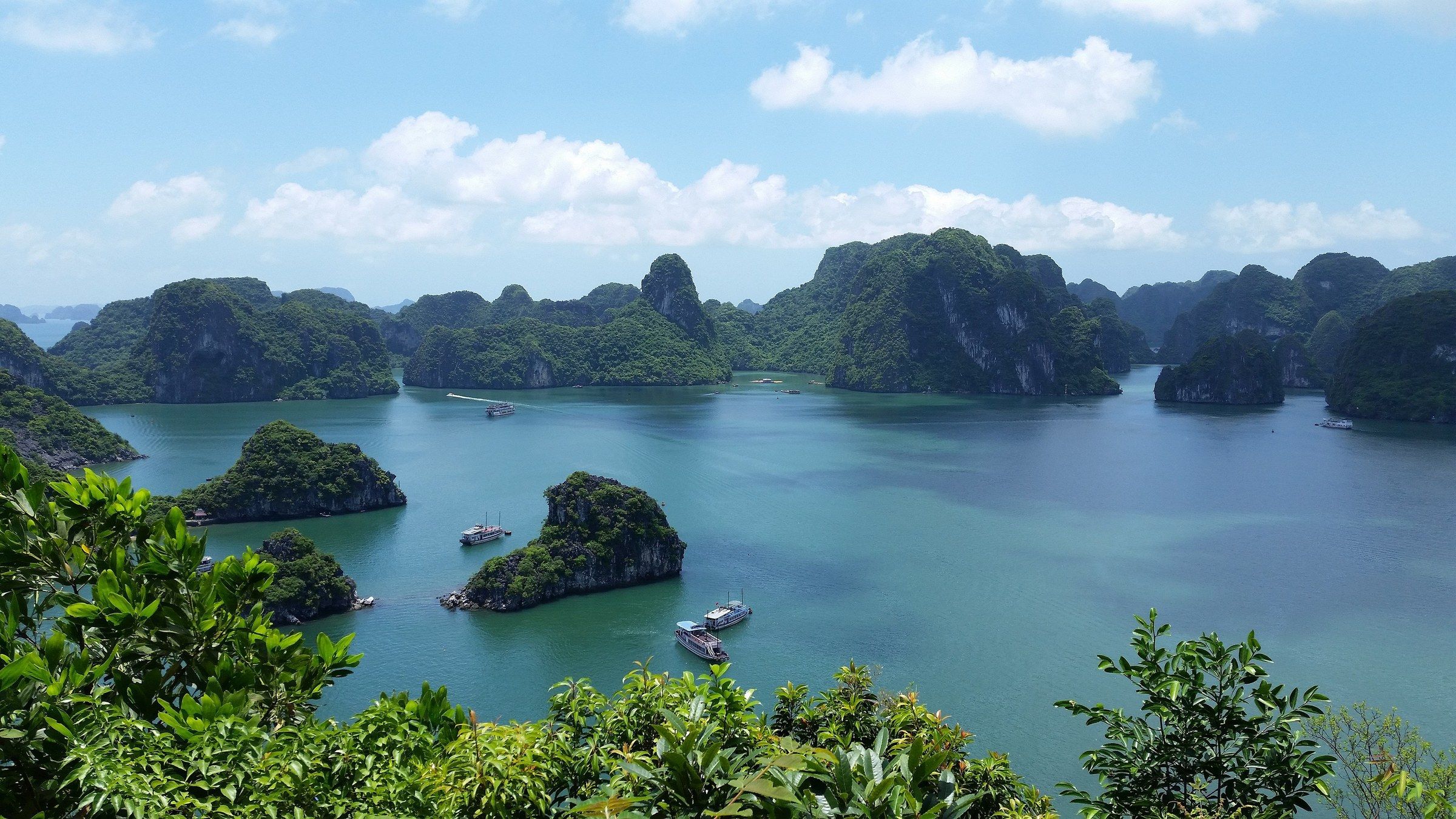
Vịnh Hạ Long Limestone islets and small boats seen from a high viewpoint over the water in Hạ Long Bay. Photo: Webkims, CC0 -
Vịnh Hạ Long Forested limestone cliffs rise from calm water in Hạ Long Bay, with a small fishing boat below them.
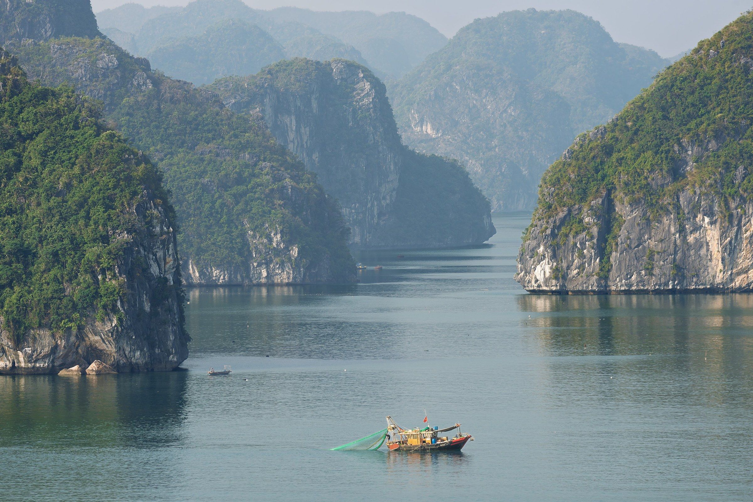
Vịnh Hạ Long Forested limestone cliffs rise from calm water in Hạ Long Bay, with a small fishing boat below them. Photo: Mustang Joe, CC0 -
Vịnh Hạ Long A tall limestone stack rises above a wooden junk in Hạ Long Bay.
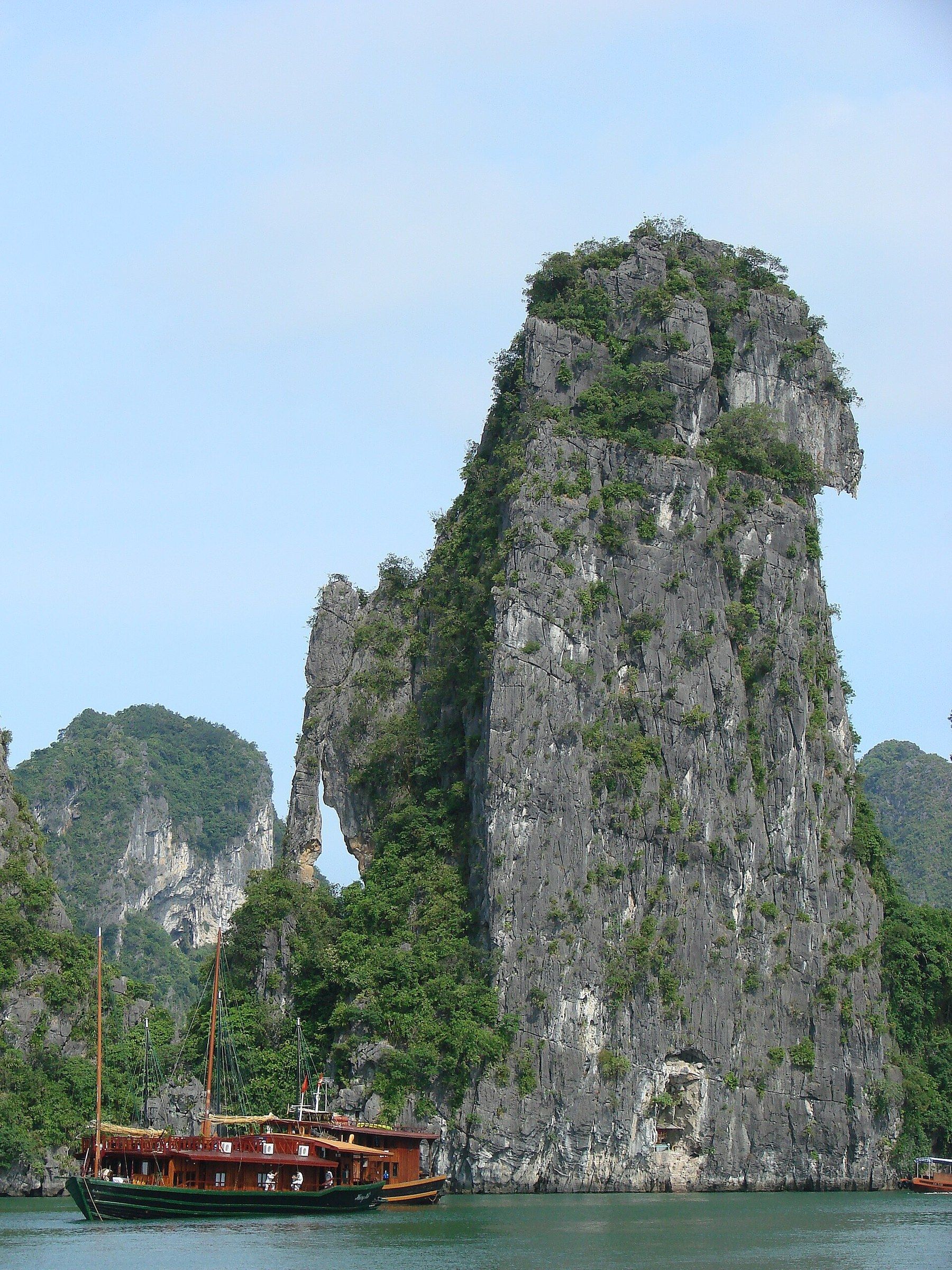
Vịnh Hạ Long A tall limestone stack rises above a wooden junk in Hạ Long Bay. Photo: Adam Jones Adam63, CC BY-SA 3.0 -
Vịnh Hạ Long A small islet of tilted limestone strata stands in the water with a boat in front of it in Hạ Long Bay.
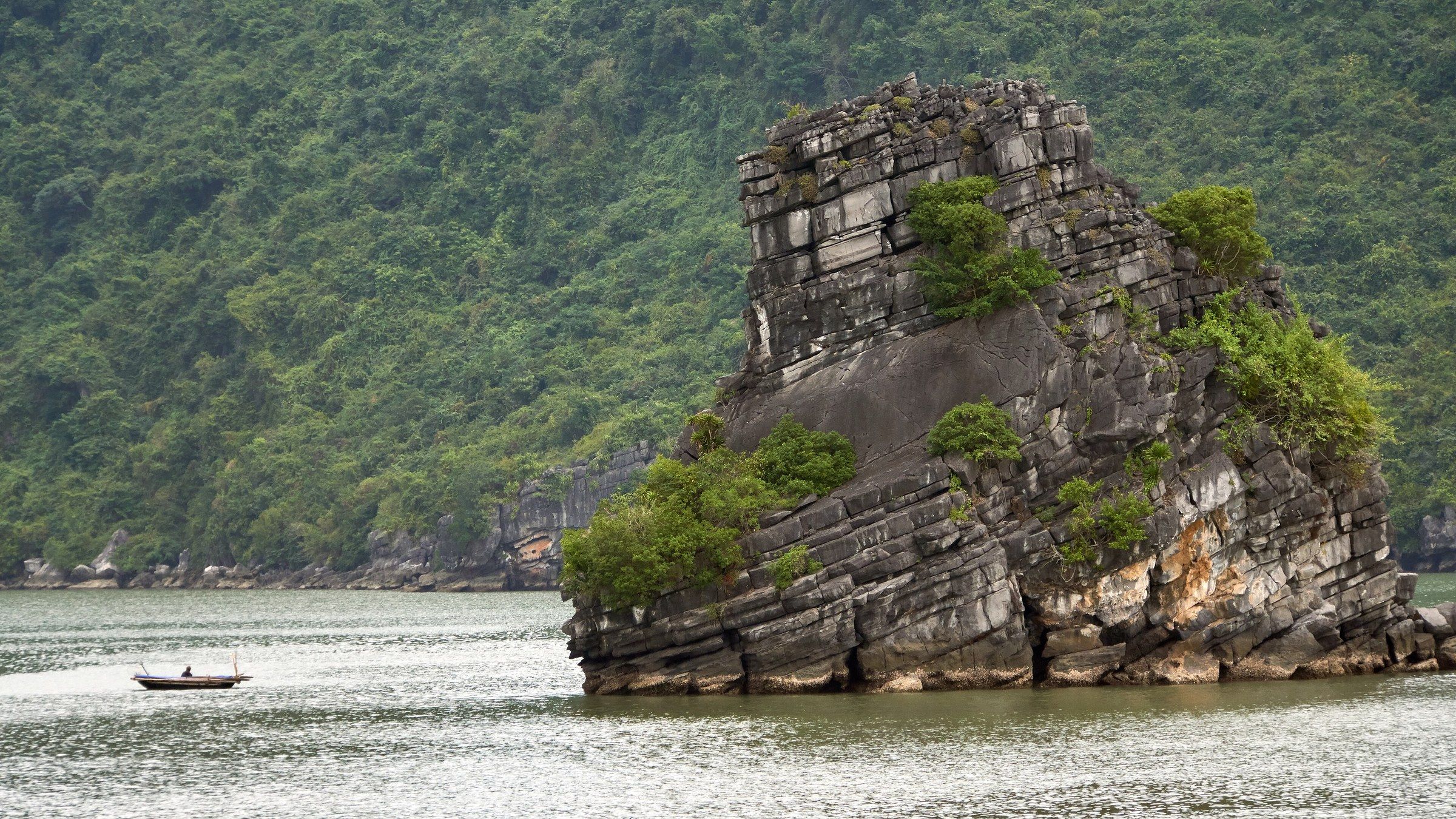
Vịnh Hạ Long A small islet of tilted limestone strata stands in the water with a boat in front of it in Hạ Long Bay. Photo: Radek Kucharski from Warsaw, Poland, CC BY 2.0 -
Vịnh Hạ Long A wide panorama of limestone islands with cruise boats on the water in Hạ Long Bay.
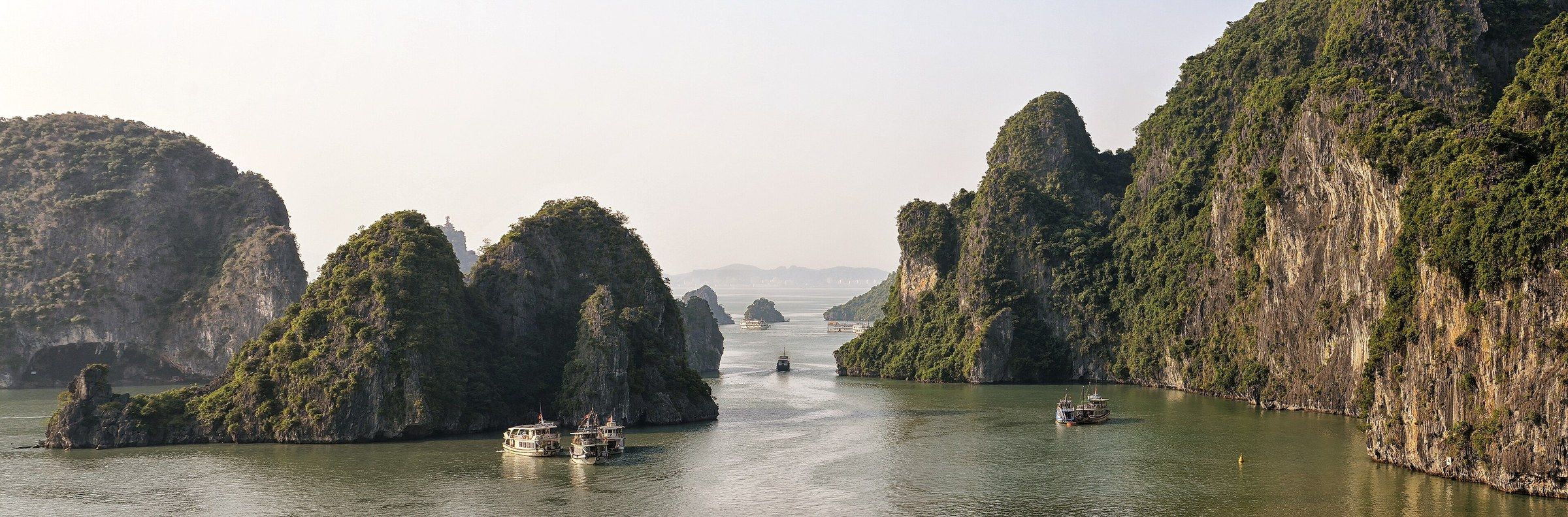
Vịnh Hạ Long A wide panorama of limestone islands with cruise boats on the water in Hạ Long Bay. Photo: Pasztilla aka Attila Terbócs, CC BY-SA 4.0 -
Hòn Đỉnh Hương Hòn Đỉnh Hương (Incense Burner Islet), a cleft block of grey limestone, rises straight from the water in front of tall cliffs, with a small floating house and a boat at the right.
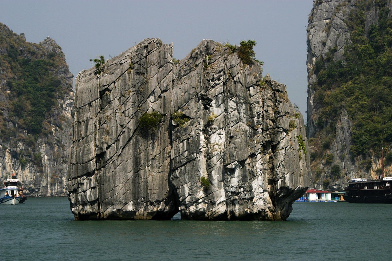
Hòn Đỉnh Hương Hòn Đỉnh Hương (Incense Burner Islet), a cleft block of grey limestone, rises straight from the water in front of tall cliffs, with a small floating house and a boat at the right. Photo: Greg Willis from Denver, CO, usa, CC BY-SA 2.0 -
Hòn Trống Mái The Kissing Rocks (Hòn Trống Mái) are two limestone stacks that lean towards each other in open water.
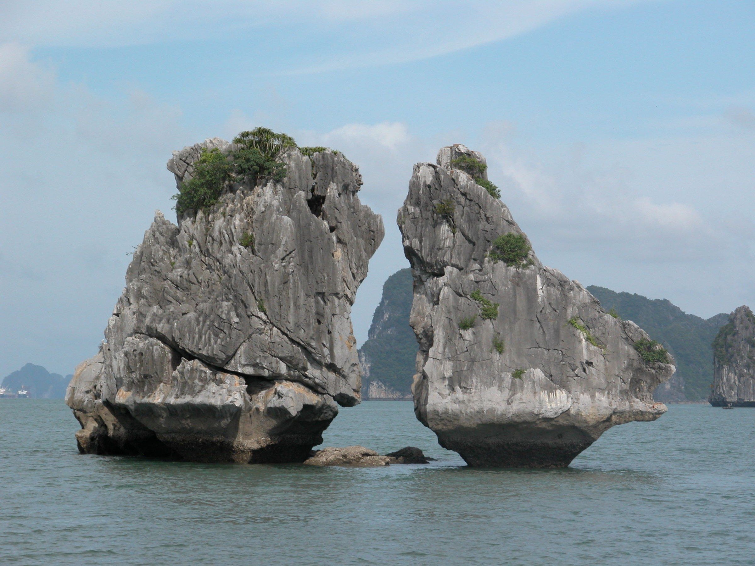
Hòn Trống Mái The Kissing Rocks (Hòn Trống Mái) are two limestone stacks that lean towards each other in open water. Photo: Nguyễn Thanh Quang, CC BY-SA 3.0 -
Hòn Trống Mái A small boat beside the base of the Kissing Rocks shows how tall the two stacks are.
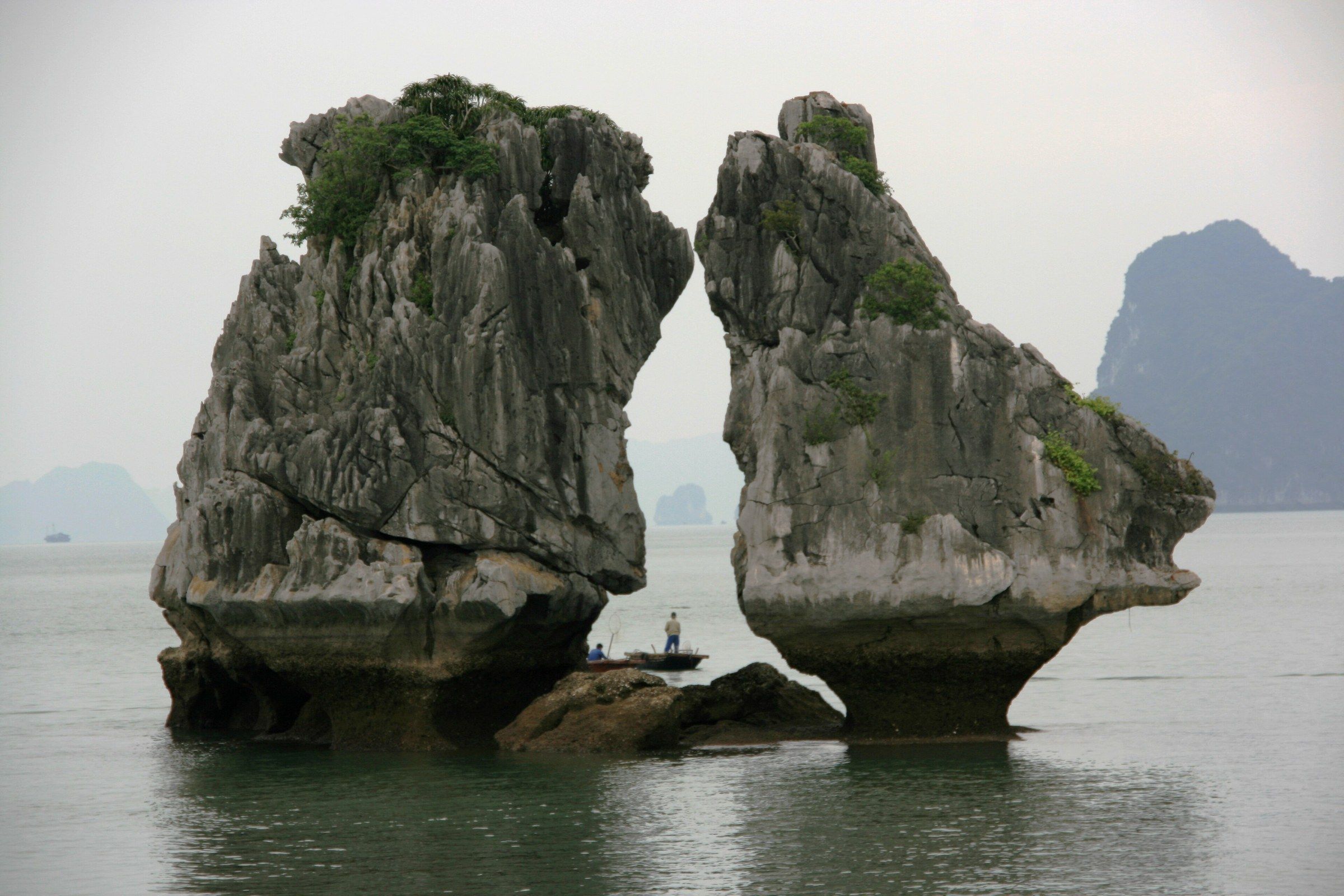
Hòn Trống Mái A small boat beside the base of the Kissing Rocks shows how tall the two stacks are. Photo: Slaza Sándor Laza, CC BY-SA 3.0 -
Hòn Trống Mái The Kissing Rocks (Hòn Trống Mái) stand in warm evening light, with taller limestone peaks behind them.
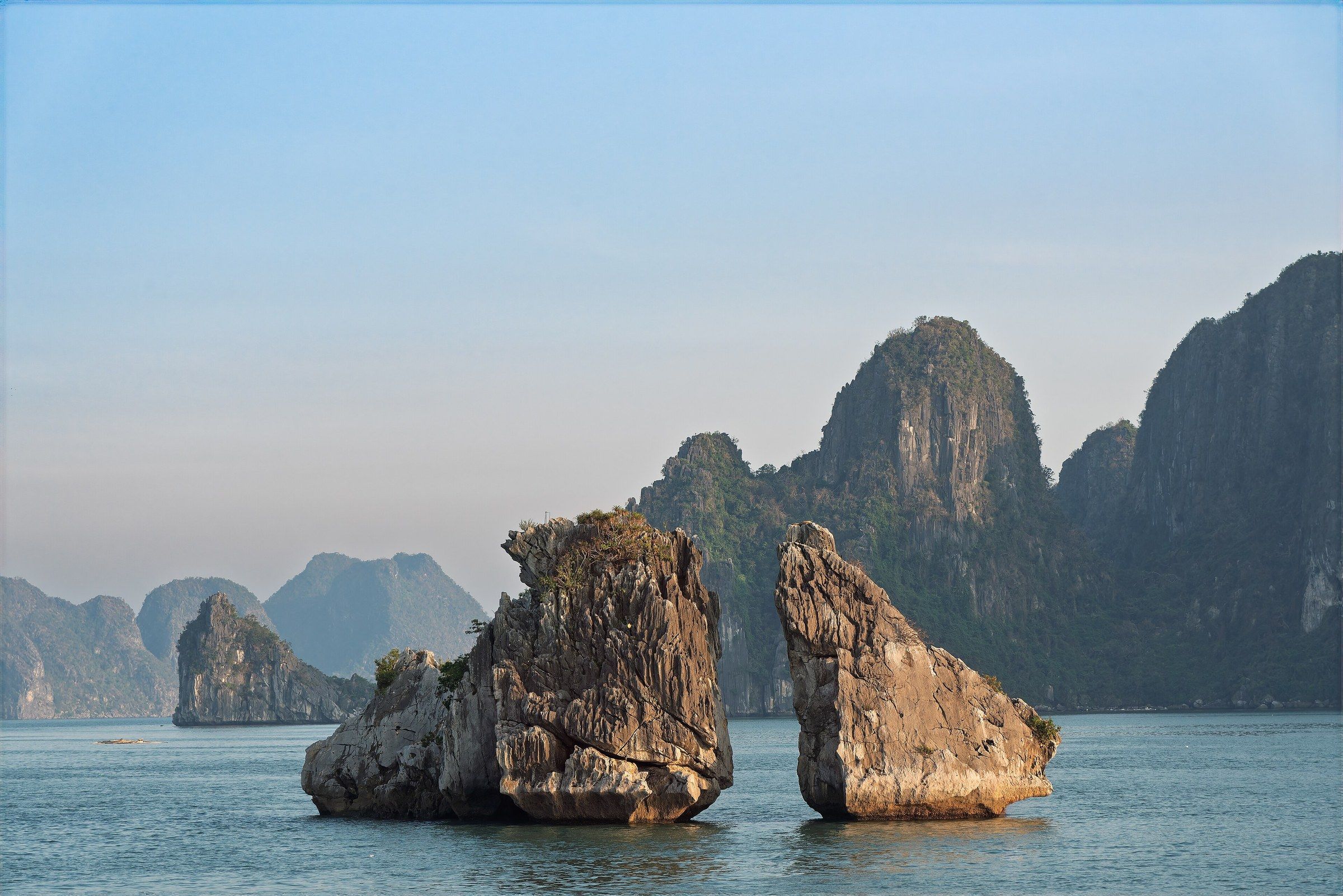
Hòn Trống Mái The Kissing Rocks (Hòn Trống Mái) stand in warm evening light, with taller limestone peaks behind them. Photo: Mustang Joe, CC0 -
Đảo Ti Tốp Ti Tốp Island seen from the water, with its forested peak and the small pavilion on the summit.
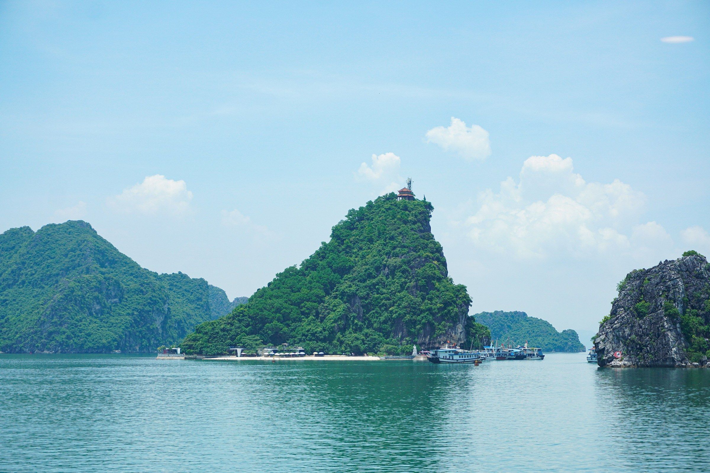
Đảo Ti Tốp Ti Tốp Island seen from the water, with its forested peak and the small pavilion on the summit. Photo: NKSTTSSHNVN, CC BY-SA 4.0 -
Đảo Ti Tốp The stone statue of the cosmonaut Gherman Titov stands against a dark rock face on Ti Tốp Island, with his name and years carved on the plinth.
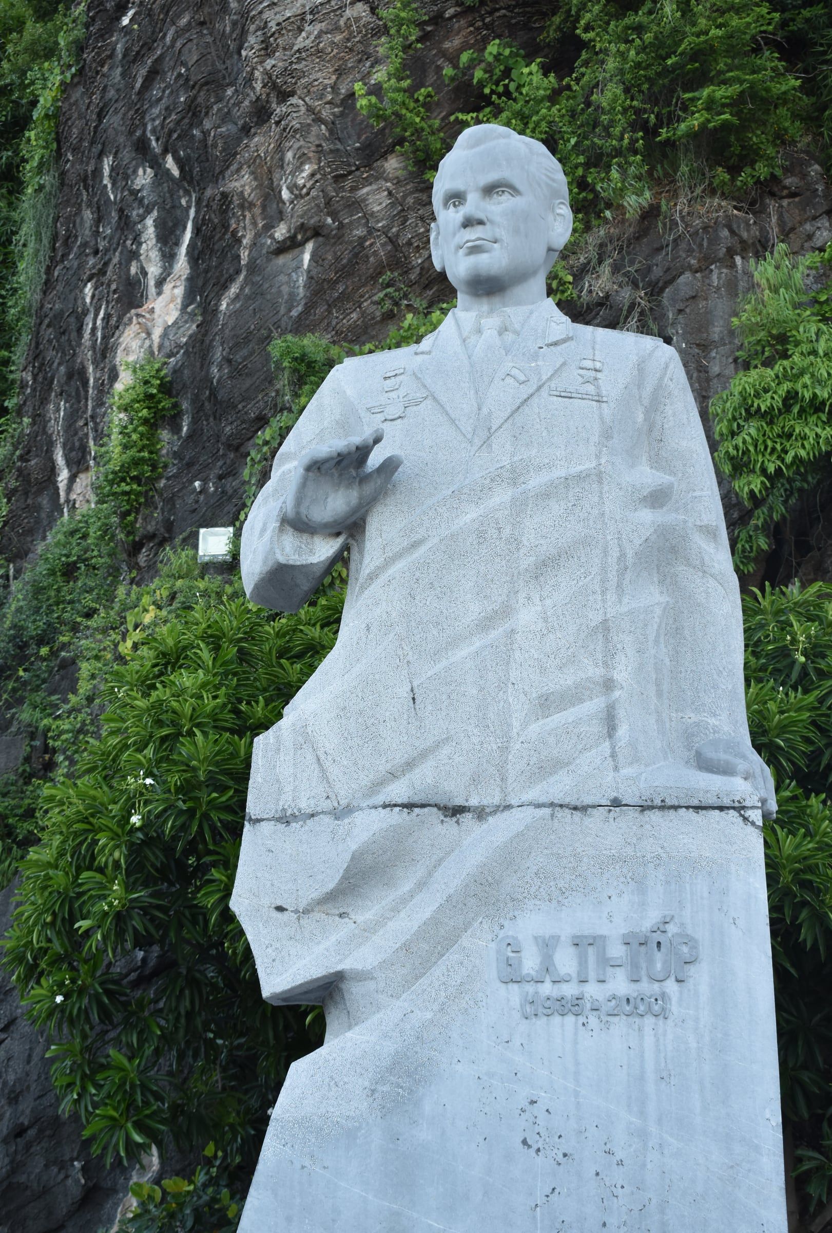
Đảo Ti Tốp The stone statue of the cosmonaut Gherman Titov stands against a dark rock face on Ti Tốp Island, with his name and years carved on the plinth. Photo: Pamputt, CC BY-SA 4.0 -
Đảo Ti Tốp A wide panorama from the summit viewpoint on Ti Tốp Island, over limestone islands and tour boats.
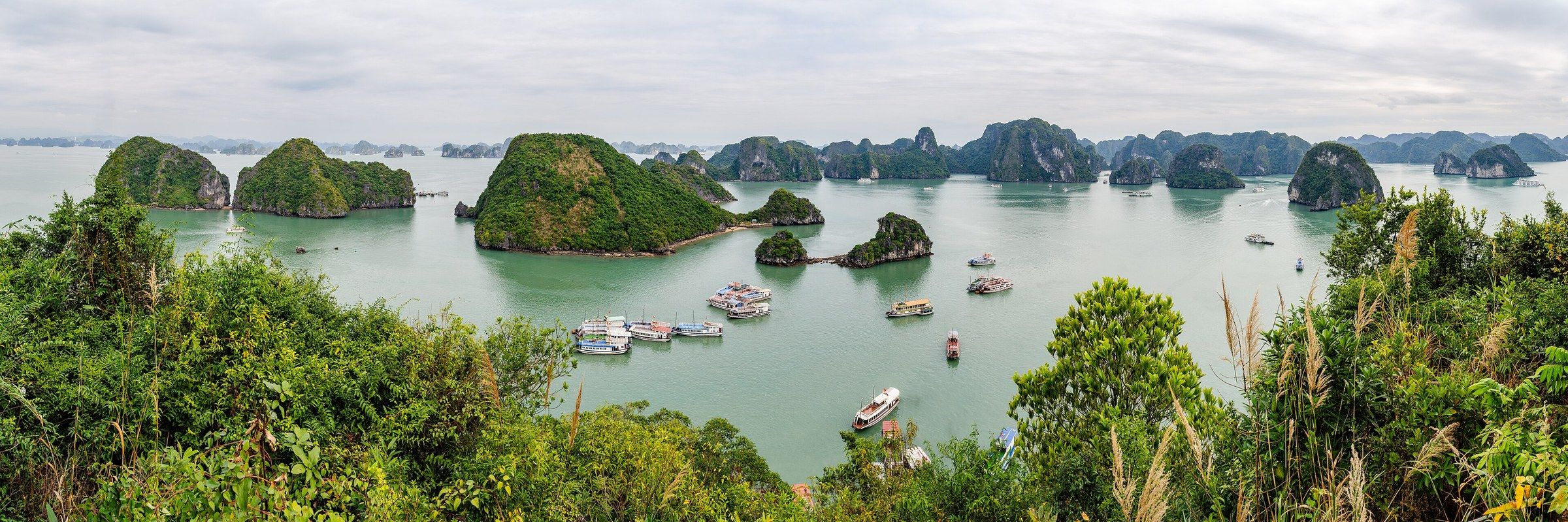
Đảo Ti Tốp A wide panorama from the summit viewpoint on Ti Tốp Island, over limestone islands and tour boats. Photo: Steffen Schmitz, CC BY-SA 4.0 -
Đảo Ti Tốp Twin islets joined by a narrow spit lie below the viewpoint on Ti Tốp Island, with tour boats on the water.
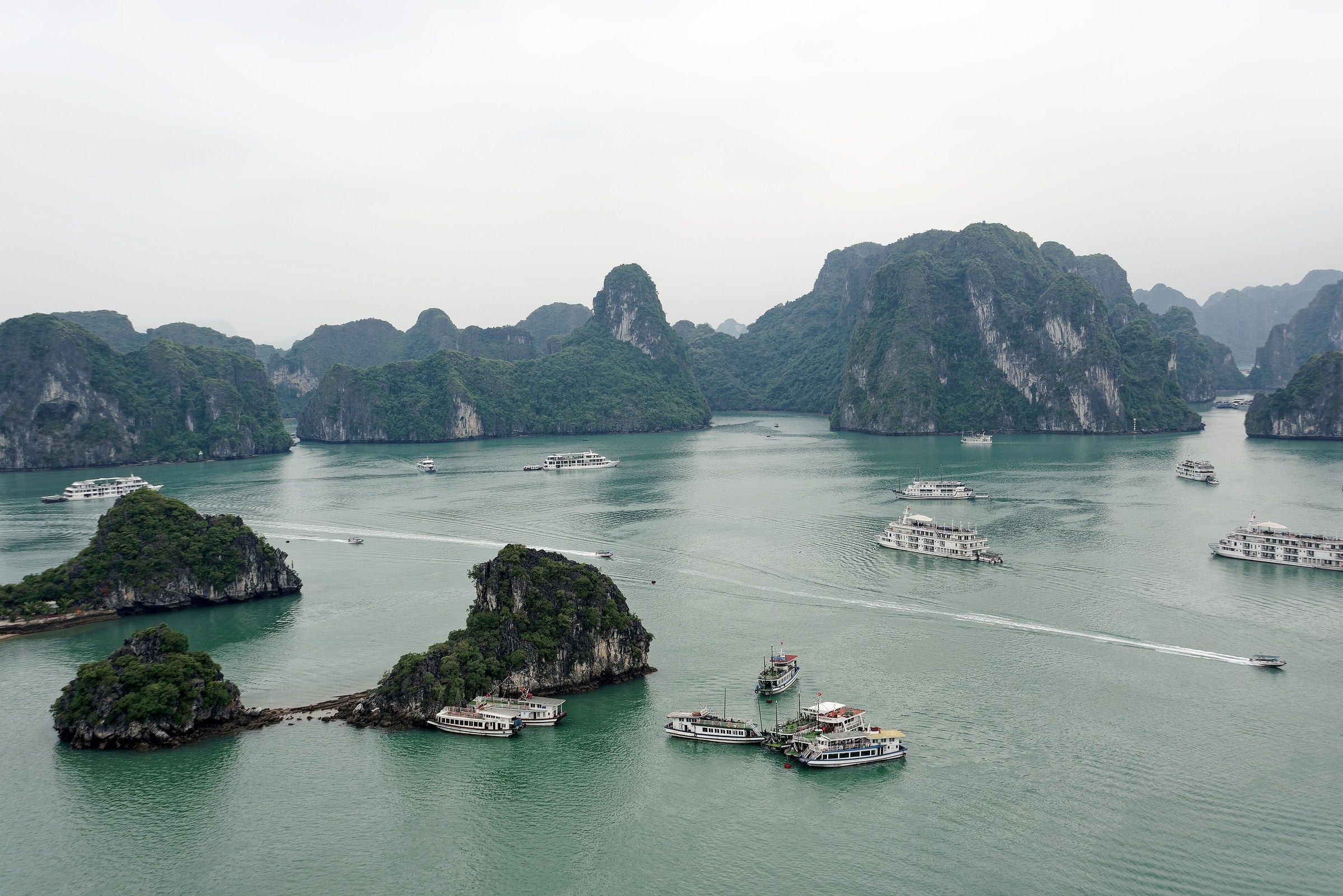
Đảo Ti Tốp Twin islets joined by a narrow spit lie below the viewpoint on Ti Tốp Island, with tour boats on the water. Photo: Jakub Hałun, CC BY 4.0 -
Đảo Ti Tốp Cruise ships lie at anchor below the Ti Tốp viewpoint, with a rounded limestone island beyond.
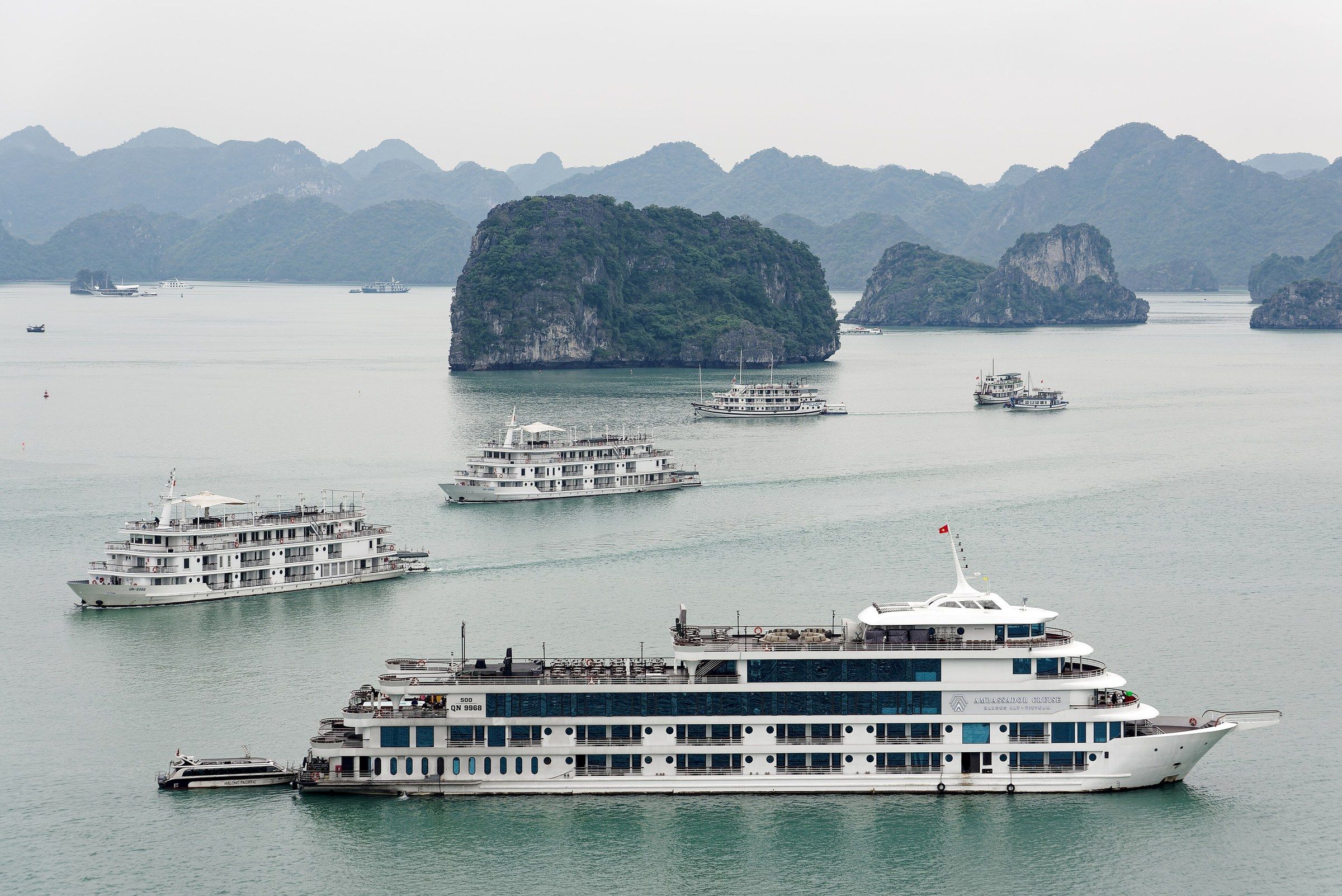
Đảo Ti Tốp Cruise ships lie at anchor below the Ti Tốp viewpoint, with a rounded limestone island beyond. Photo: Jakub Hałun, CC BY 4.0 -
Đảo Ti Tốp An aerial view of the wharf and crescent beach on Ti Tốp Island, with boats moored alongside.
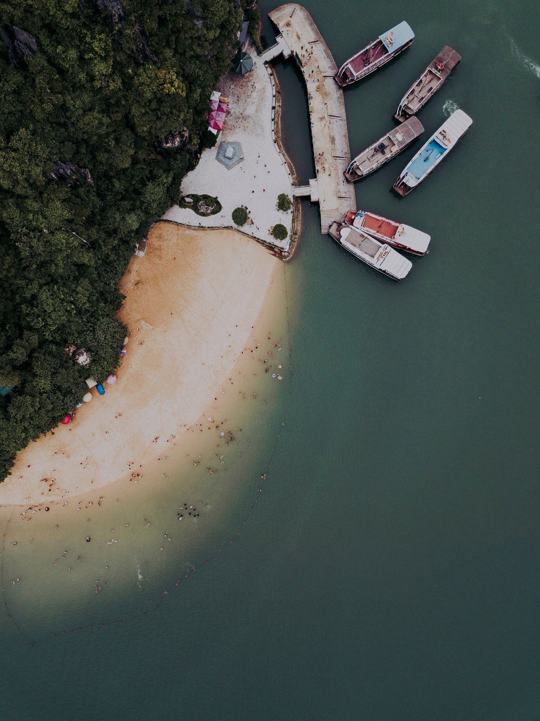
Đảo Ti Tốp An aerial view of the wharf and crescent beach on Ti Tốp Island, with boats moored alongside. Photo: Kris Martyn, CC BY-SA 4.0 -
Đảo Ti Tốp An aerial view of Ti Tốp Island and the surrounding bay, with boats at anchor.
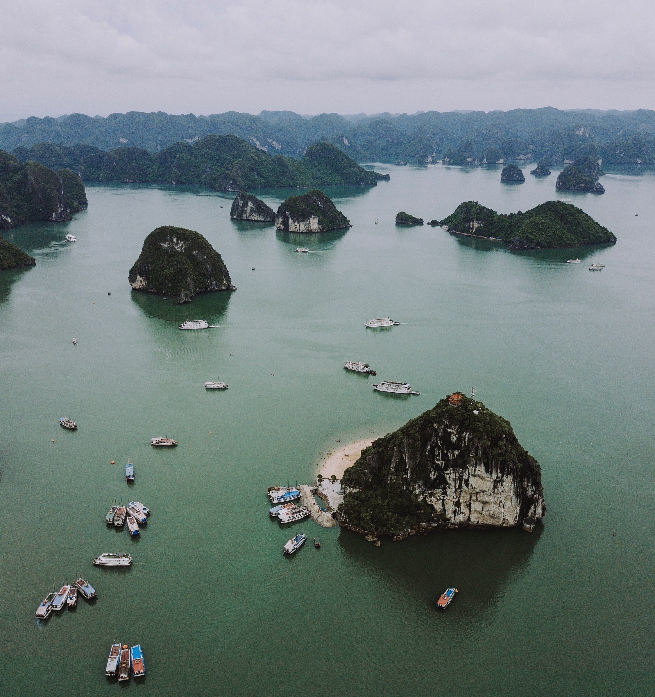
Đảo Ti Tốp An aerial view of Ti Tốp Island and the surrounding bay, with boats at anchor. Photo: Kris Martyn, CC BY-SA 4.0 -
Vịnh Hạ Long A macaque sits on a limestone rock among green leaves with an infant at its side in Hạ Long Bay.
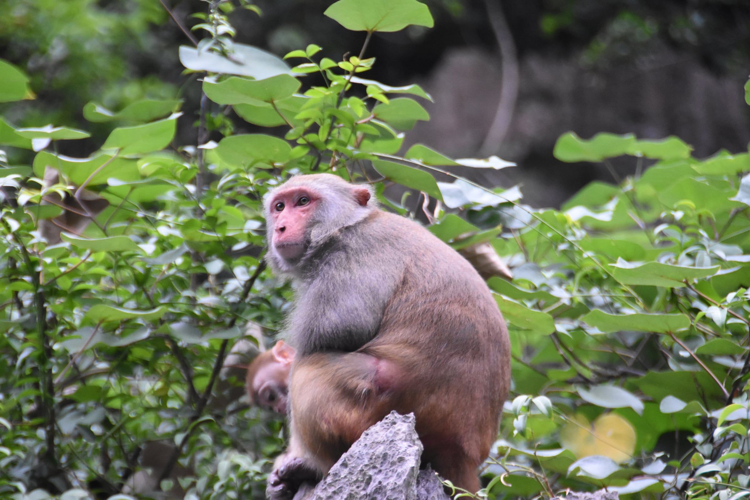
Vịnh Hạ Long A macaque sits on a limestone rock among green leaves with an infant at its side in Hạ Long Bay. Photo: shankar s. from Dubai, united arab emirates, CC BY 2.0 -
Vịnh Hạ Long Two limestone peaks and their reflections stand in still water under mist in Hạ Long Bay.
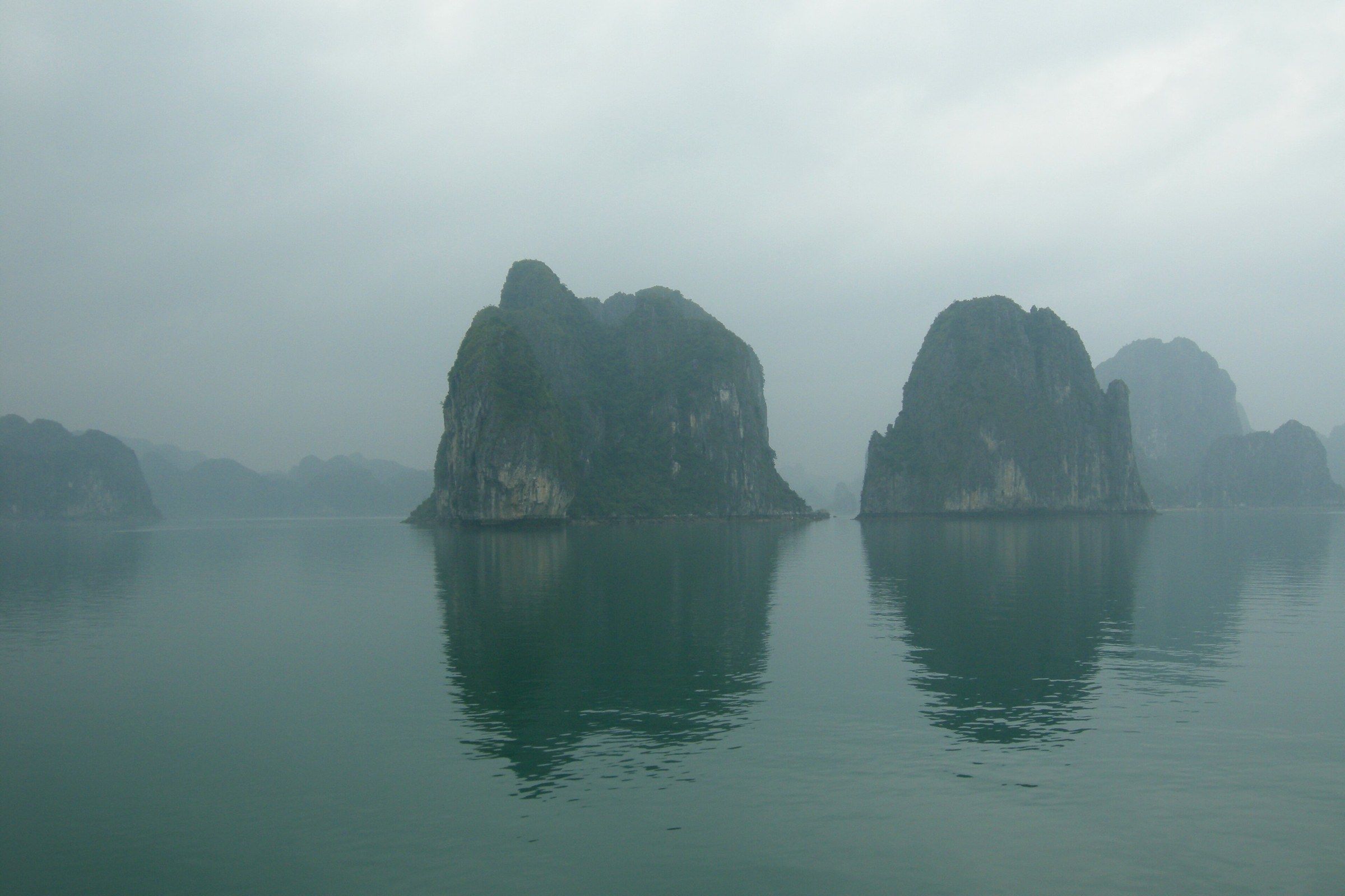
Vịnh Hạ Long Two limestone peaks and their reflections stand in still water under mist in Hạ Long Bay. Photo: Vyacheslav Argenberg, CC BY 4.0 -
Vịnh Hạ Long Mist and still water mirror steep limestone cliffs at dawn in Hạ Long Bay.
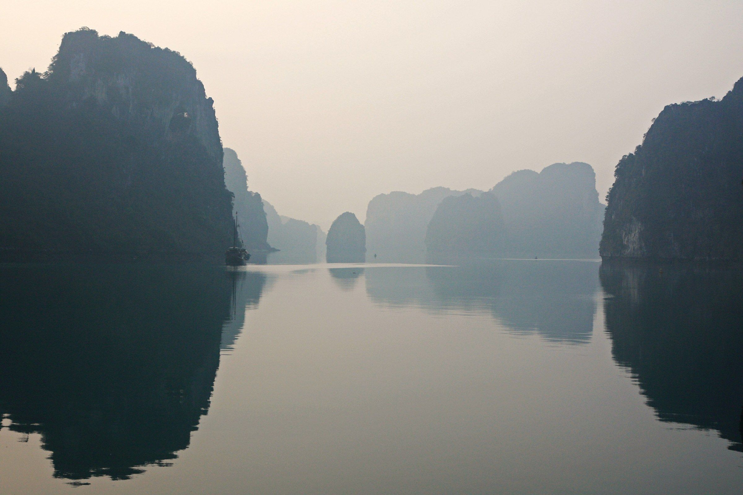
Vịnh Hạ Long Mist and still water mirror steep limestone cliffs at dawn in Hạ Long Bay. Photo: Andrea Schaffer from Sydney, Australia, CC BY 2.0 -
Vịnh Hạ Long Sunlight breaks through cloud above a line of low islets at sunset in Hạ Long Bay.
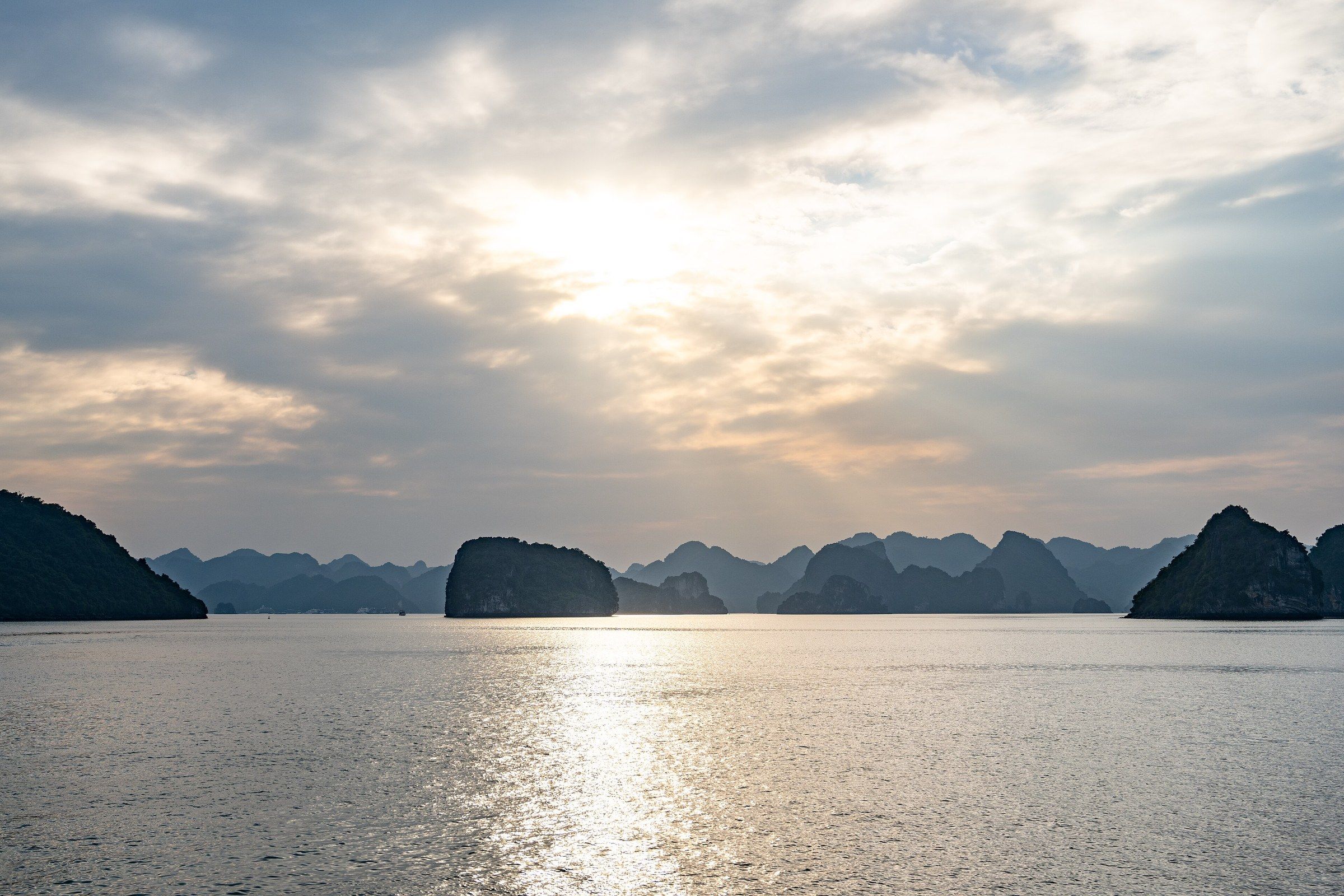
Vịnh Hạ Long Sunlight breaks through cloud above a line of low islets at sunset in Hạ Long Bay. Photo: Takeshi Aida from Hong Kong, Hong Kong, CC BY-SA 2.0 -
Vịnh Hạ Long A band of orange light lies behind a chain of dark islets at sunset in Hạ Long Bay.
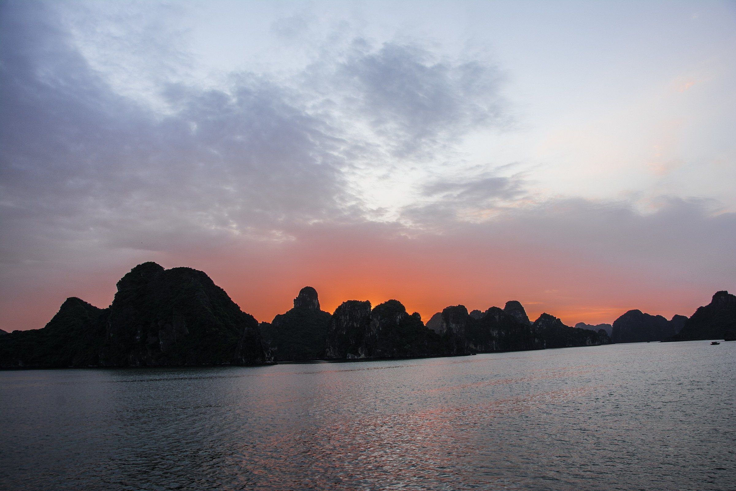
Vịnh Hạ Long A band of orange light lies behind a chain of dark islets at sunset in Hạ Long Bay. Photo: Esin Üstün from Istanbul, Turkey, CC BY 2.0 -
Vịnh Hạ Long Warm evening light falls on calm water between dark limestone headlands in Hạ Long Bay.

Vịnh Hạ Long Warm evening light falls on calm water between dark limestone headlands in Hạ Long Bay. Photo: Ziegler175, CC BY-SA 3.0 -
Vịnh Hạ Long A small boat crosses calm water under a violet and pink dusk sky in Hạ Long Bay.

Vịnh Hạ Long A small boat crosses calm water under a violet and pink dusk sky in Hạ Long Bay. Photo: shankar s. from Dubai, united arab emirates, CC BY 2.0 -
Vịnh Hạ Long A view from the heights over a cove and distant islets, photographed by André Salles in 1885.
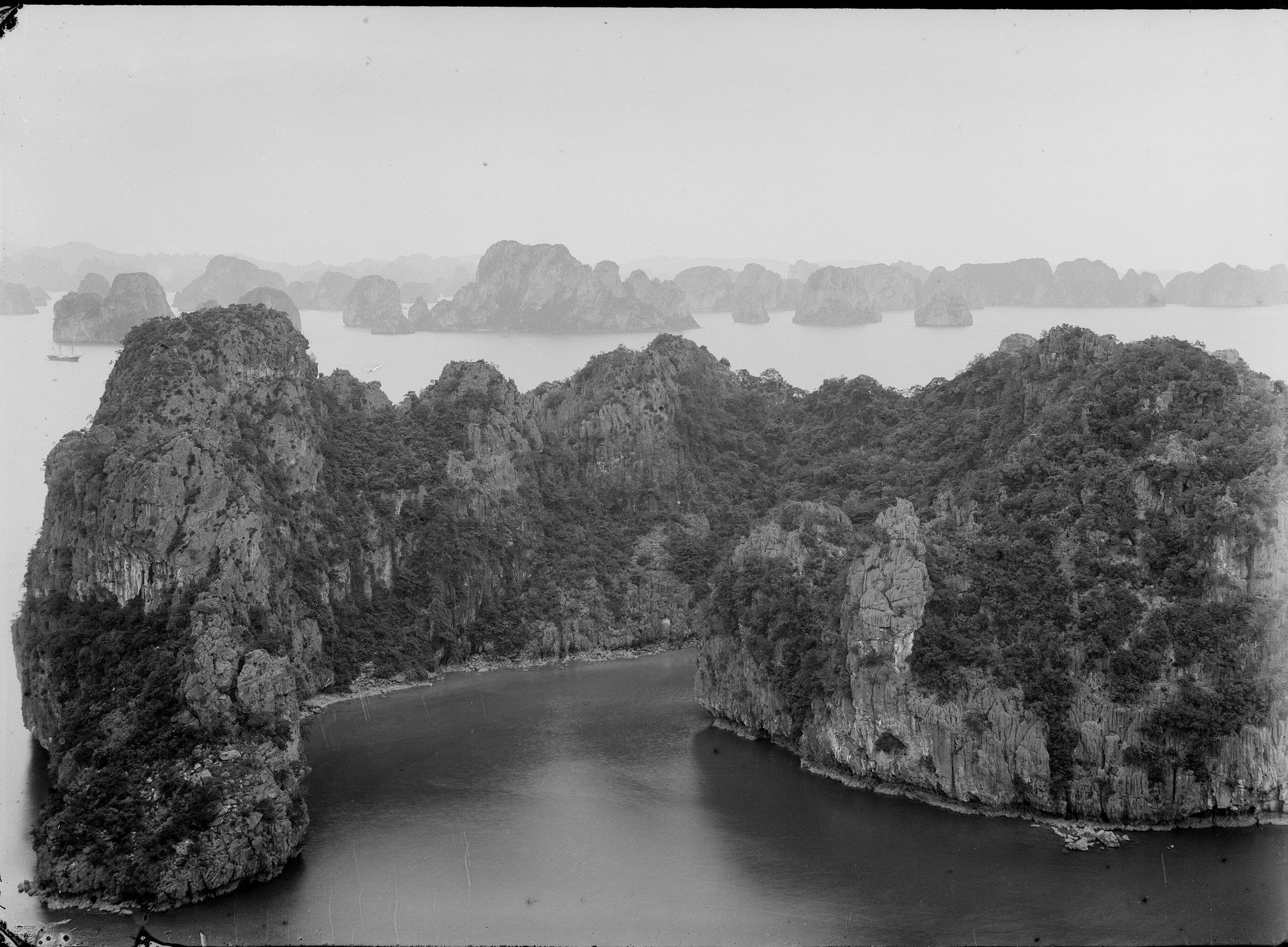
Vịnh Hạ Long A view from the heights over a cove and distant islets, photographed by André Salles in 1885. Photo: Salles, André (1860-1929). Photographe, Public domain -
Vịnh Hạ Long A Copernicus Sentinel-2 image of the Hạ Long Bay area on the northern coast of Vietnam, with Cát Bà Island in green at the lower left.
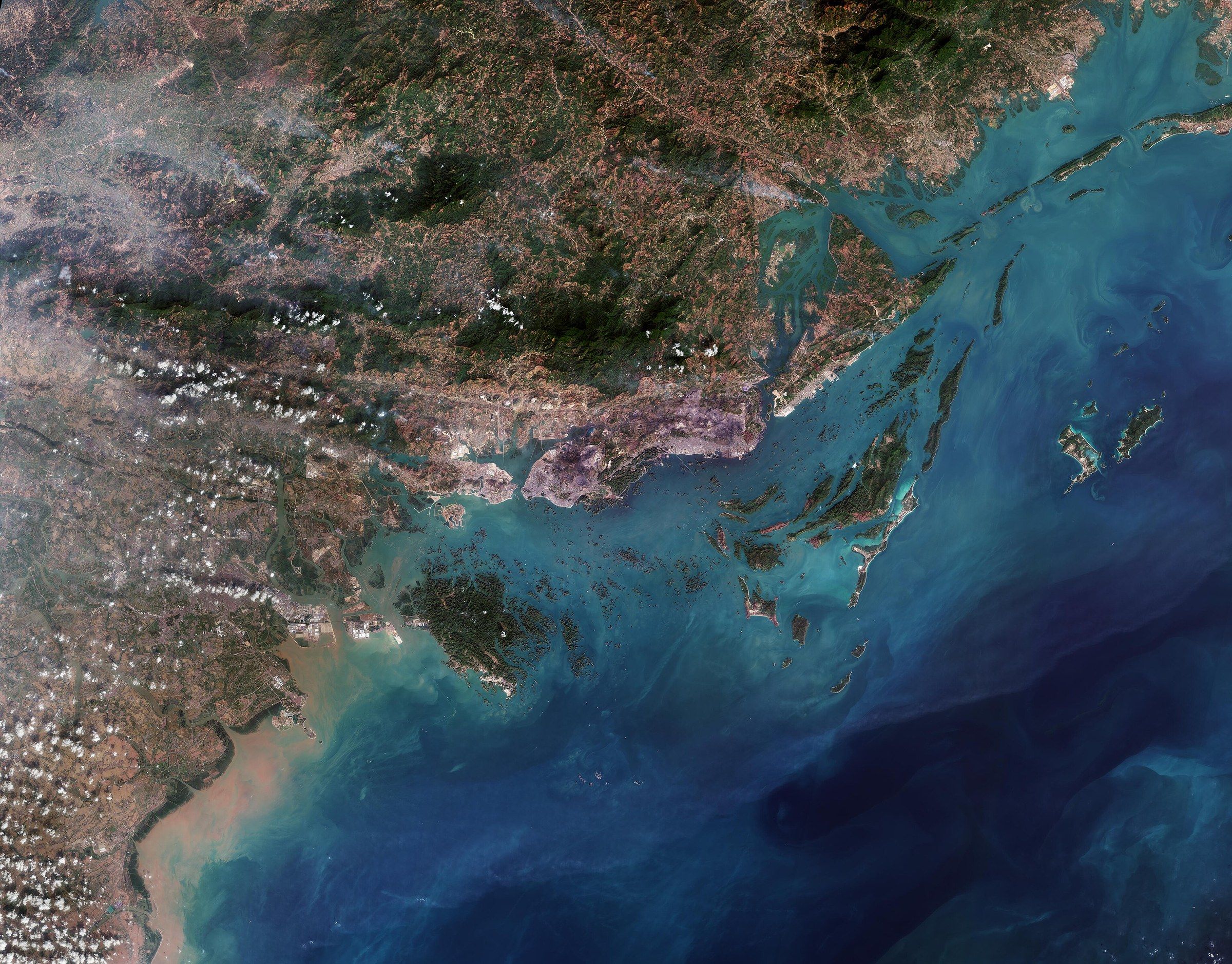
Vịnh Hạ Long A Copernicus Sentinel-2 image of the Hạ Long Bay area on the northern coast of Vietnam, with Cát Bà Island in green at the lower left. Photo: European Space Agency (contains modified Copernicus Sentinel data, 2025), CC BY-SA 3.0 IGO
These 27 photographs show the bay’s islands and open water: karst towers, Hòn Đỉnh Hương (the Incense Burner Islet) and the Kissing Rocks, Ti Tốp Island, a macaque on the rocks, the light at dawn and dusk, an 1885 view and a satellite image. The Ha Long Bay - Yen Tu World Heritage Management Board counts 1,969 islands and islets in the bay, 980 of them named, and more than nine in ten are limestone, 50 to 200 m high.
The panoramas from Đảo Ti Tốp (Ti Top Island) are taken from the viewpoint about 100 m up, reached by nearly 400 stone steps. The island is named after the Soviet cosmonaut Gherman Titov, whom Hồ Chí Minh brought there on 22 January 1962, and his statue stands on it. Hòn Trống Mái, the Kissing Rocks, is two rock islets about 12 m high by the Board’s figure, and boats pass them without landing. The satellite view is a Copernicus Sentinel-2 image from the European Space Agency, with Cát Bà Island in green at the lower left. More about the islands is on the islands page.
Caves
-
Hang Sửng Sốt A stone stairway with a handrail climbs through dense greenery beneath the blue name board of Hang Sửng Sốt at the entrance to Sửng Sốt Cave.
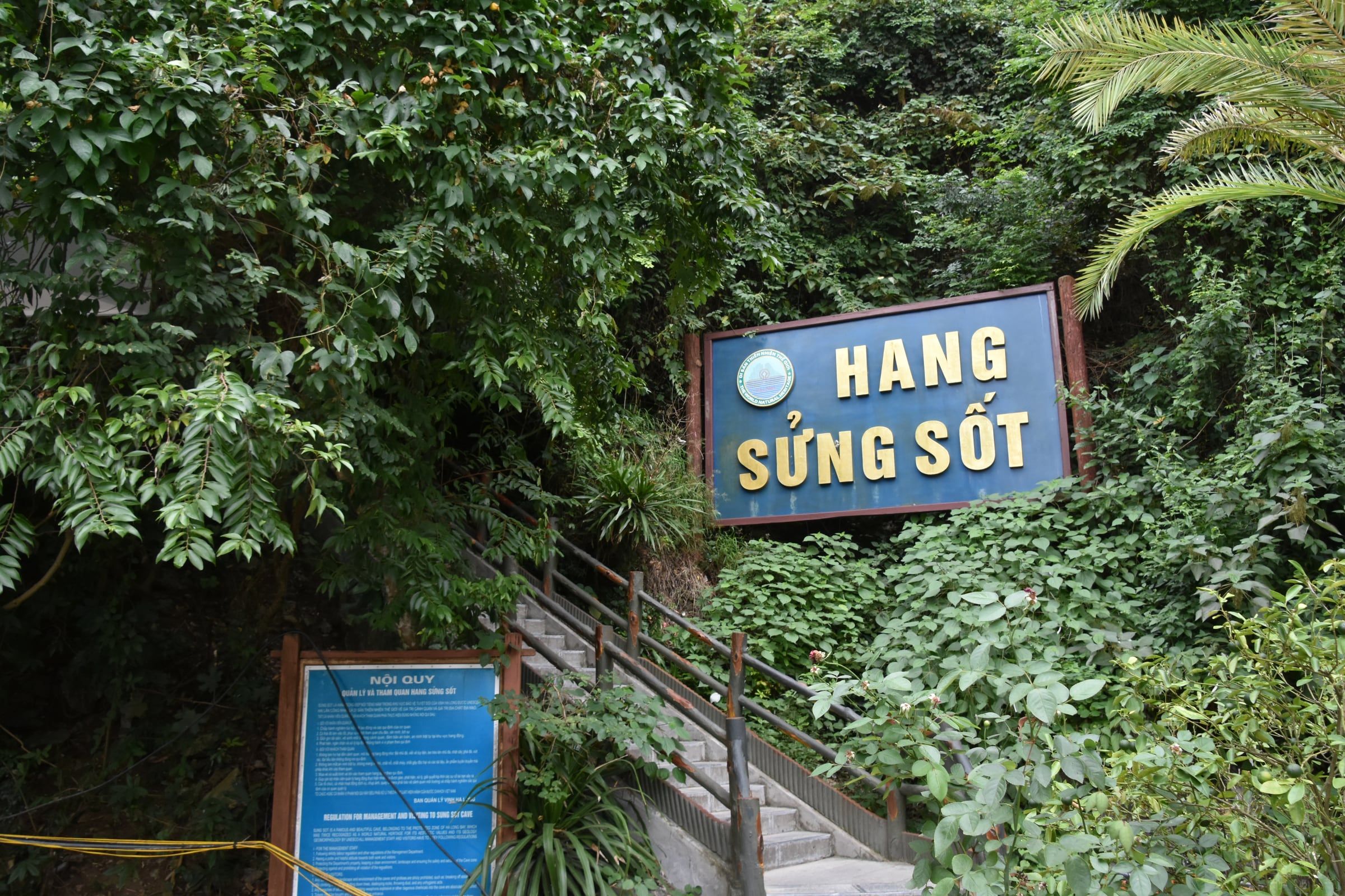
Hang Sửng Sốt A stone stairway with a handrail climbs through dense greenery beneath the blue name board of Hang Sửng Sốt at the entrance to Sửng Sốt Cave. Photo: Richard Mortel from Riyadh, Saudi Arabia, CC BY 2.0 -
Hang Sửng Sốt A paved walkway lined with lamp posts and rope barriers winds through the main chamber of Sửng Sốt Cave.
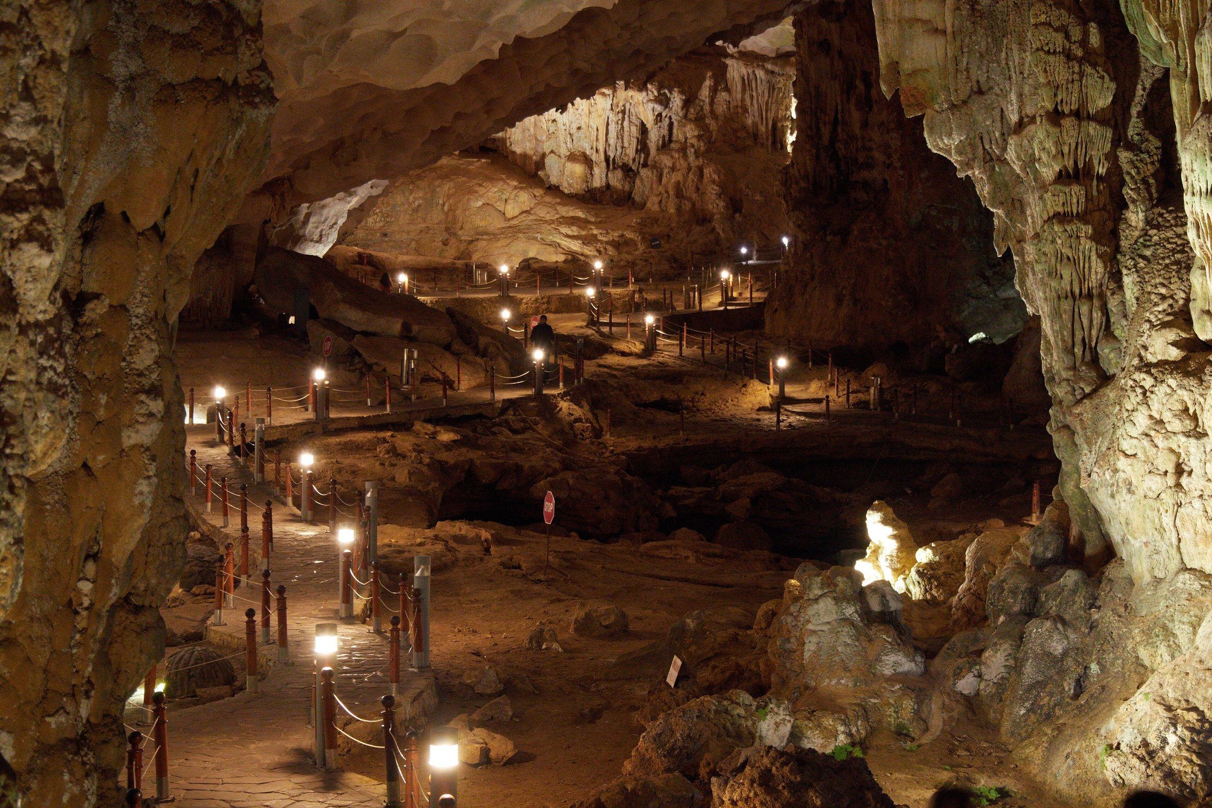
Hang Sửng Sốt A paved walkway lined with lamp posts and rope barriers winds through the main chamber of Sửng Sốt Cave. Photo: lumoplank, CC0 -
Hang Sửng Sốt Stalactites and flowstone columns hang in a lit chamber of Sửng Sốt Cave.
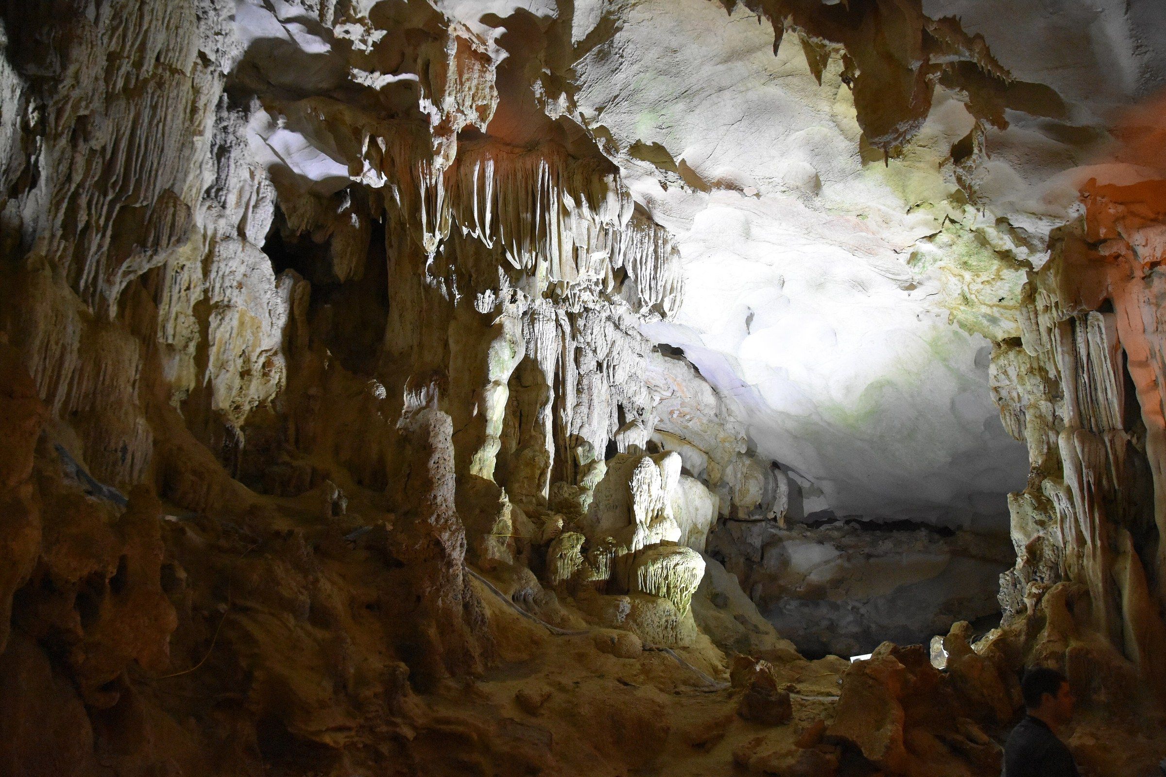
Hang Sửng Sốt Stalactites and flowstone columns hang in a lit chamber of Sửng Sốt Cave. Photo: Richard Mortel from Riyadh, Saudi Arabia, CC BY 2.0 -
Hang Sửng Sốt Orange and pink floodlight falls on the scalloped ceiling and a fluted stalactite column in a chamber of Sửng Sốt Cave, with a stepped path and a rope barrier below.
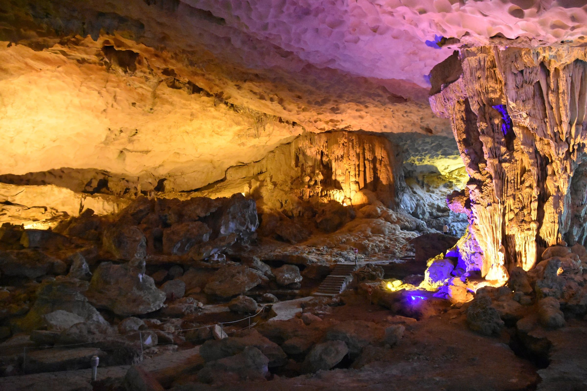
Hang Sửng Sốt Orange and pink floodlight falls on the scalloped ceiling and a fluted stalactite column in a chamber of Sửng Sốt Cave, with a stepped path and a rope barrier below. Photo: Richard Mortel from Riyadh, Saudi Arabia, CC BY 2.0 -
Hang Sửng Sốt A thick limestone column stands beside a scalloped ceiling inside Sửng Sốt Cave.
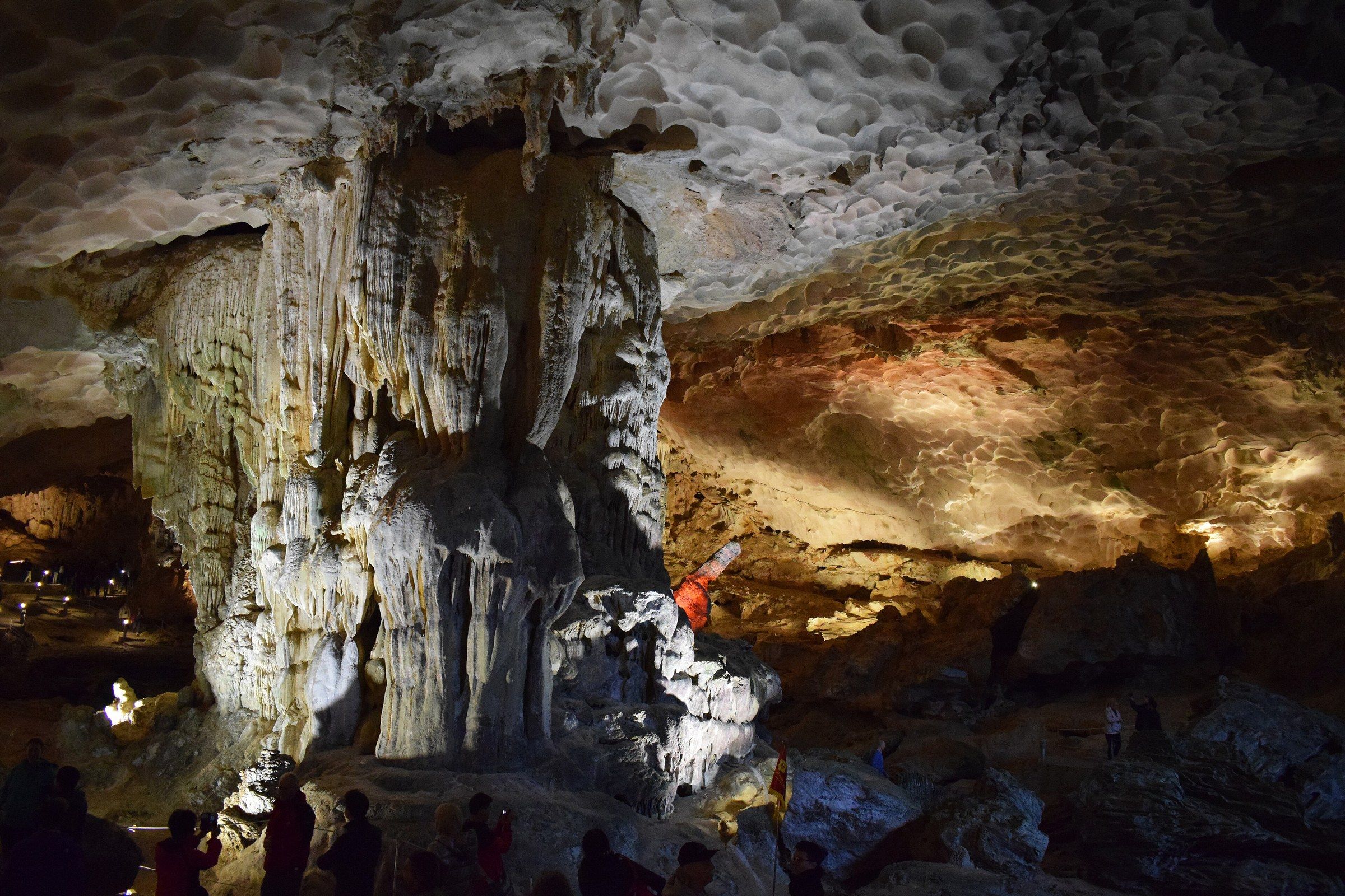
Hang Sửng Sốt A thick limestone column stands beside a scalloped ceiling inside Sửng Sốt Cave. Photo: Mig Gilbert from Brighton, CC BY-SA 2.0 -
Hang Sửng Sốt Fluted flowstone hangs like a curtain above rounded, knobbly stalagmites in a chamber of Sửng Sốt Cave.
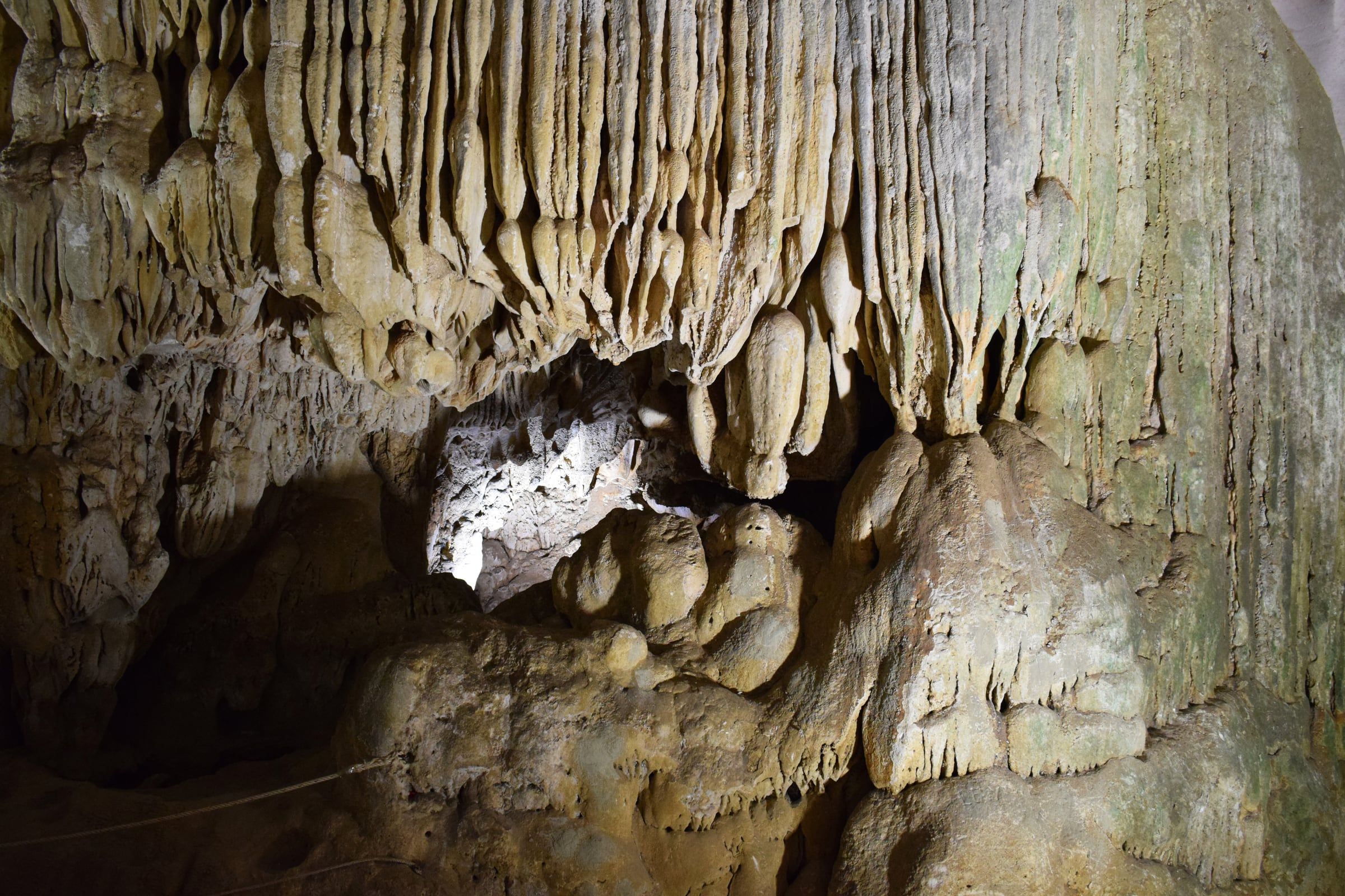
Hang Sửng Sốt Fluted flowstone hangs like a curtain above rounded, knobbly stalagmites in a chamber of Sửng Sốt Cave. Photo: Mig Gilbert from Brighton, CC BY-SA 2.0 -
Hang Sửng Sốt Tour boats lie at anchor among limestone islands, seen from the high point at the mouth of Sửng Sốt Cave.
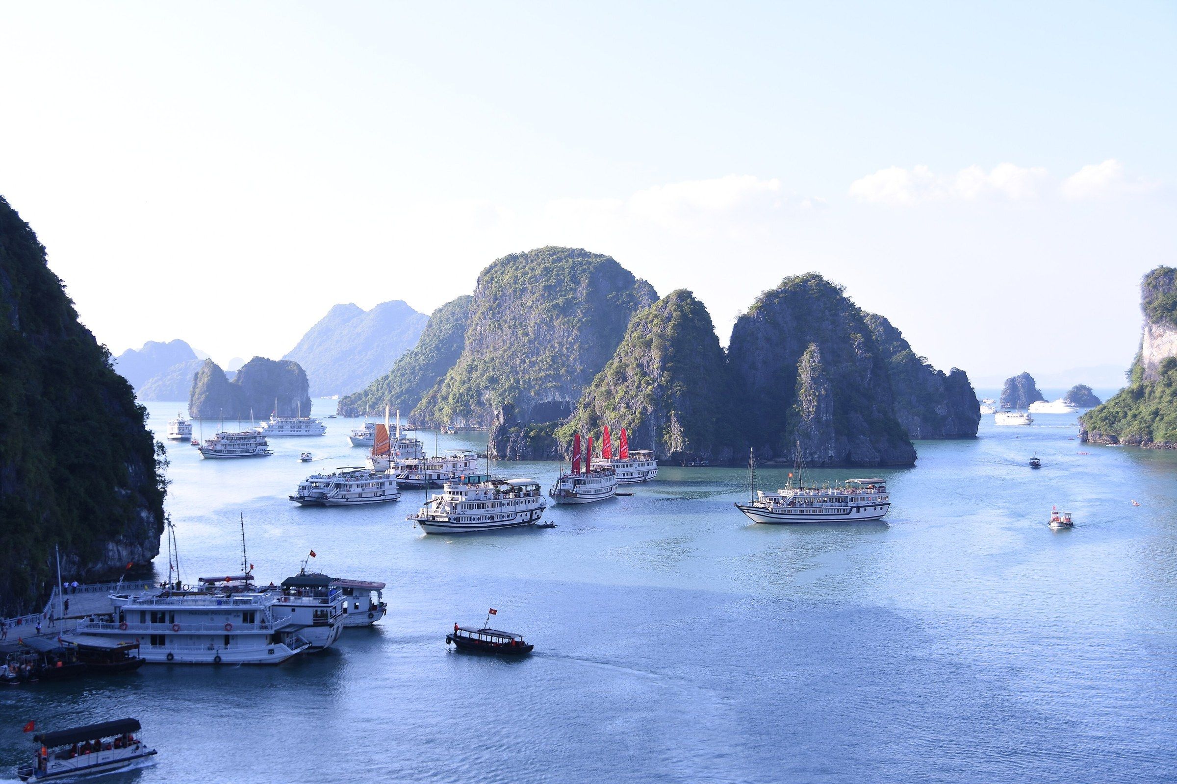
Hang Sửng Sốt Tour boats lie at anchor among limestone islands, seen from the high point at the mouth of Sửng Sốt Cave. Photo: shankar s. from Dubai, united arab emirates, CC BY 2.0 -
Hang Sửng Sốt Wooden tour boats lie moored at a landing stage and at anchor in a green bay, seen from the high exit of Sửng Sốt Cave between steep limestone islands.
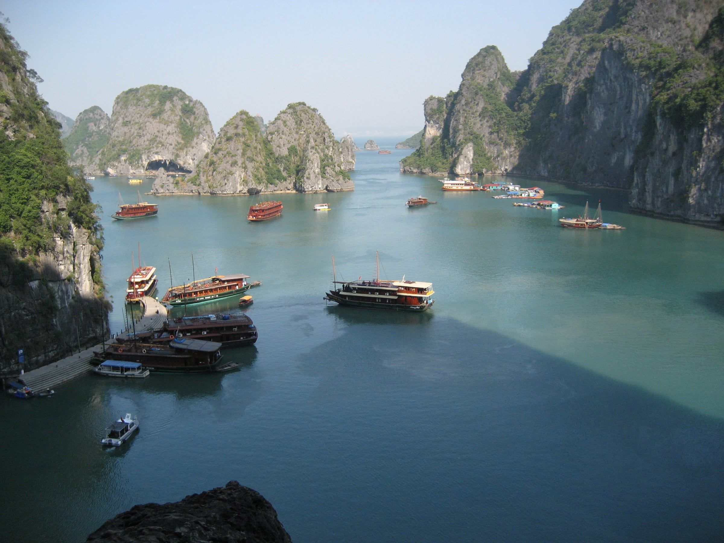
Hang Sửng Sốt Wooden tour boats lie moored at a landing stage and at anchor in a green bay, seen from the high exit of Sửng Sốt Cave between steep limestone islands. Photo: Arian Zwegers, CC BY 2.0 -
Hang Sửng Sốt A curved walkway and landing stage with sun umbrellas lie below a wooded limestone peak, with boats on pale green water in mist, seen from above at Sửng Sốt Cave.
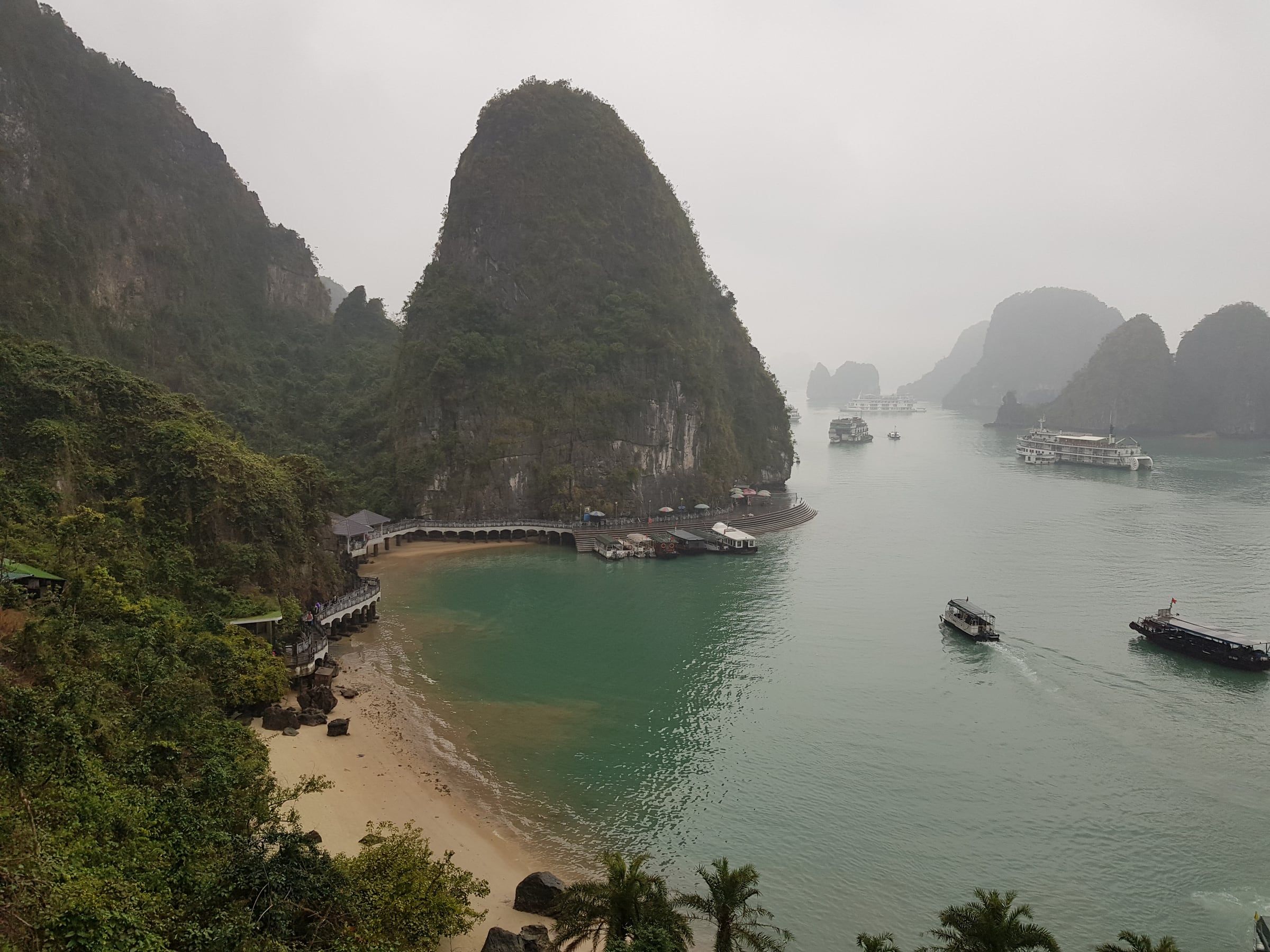
Hang Sửng Sốt A curved walkway and landing stage with sun umbrellas lie below a wooded limestone peak, with boats on pale green water in mist, seen from above at Sửng Sốt Cave. Photo: Andre Hospers, CC BY 4.0 -
Động Mê Cung A moored boat with clothes on a line beside it lies at the landing below the green name board of Mê Cung Cave, with stone steps climbing the wooded slope.
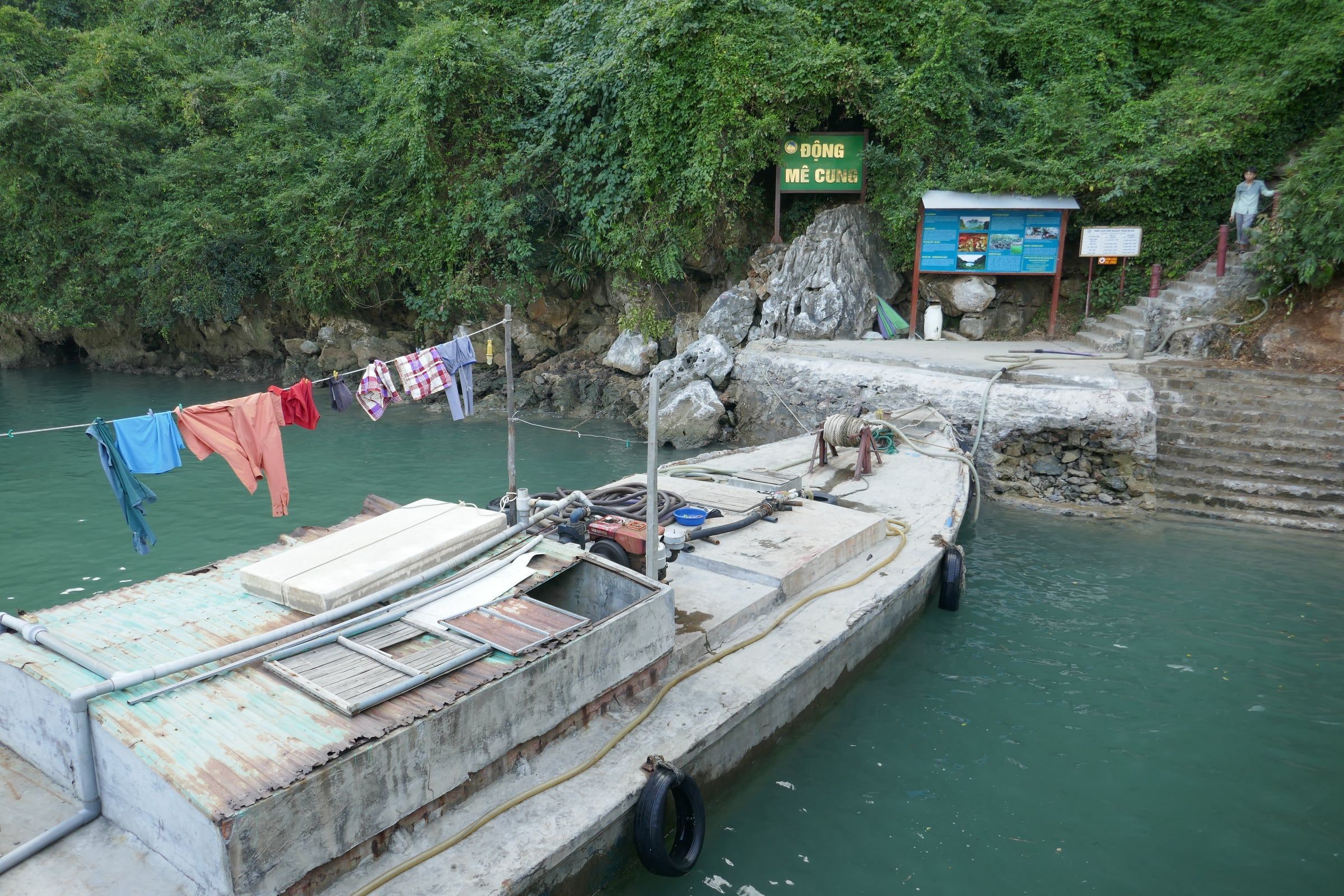
Động Mê Cung A moored boat with clothes on a line beside it lies at the landing below the green name board of Mê Cung Cave, with stone steps climbing the wooded slope. Photo: Ji-Elle, CC BY-SA 4.0 -
Động Mê Cung Ribbed stalactites and columns in cream and orange rock frame passages that open to daylight inside Mê Cung Cave.
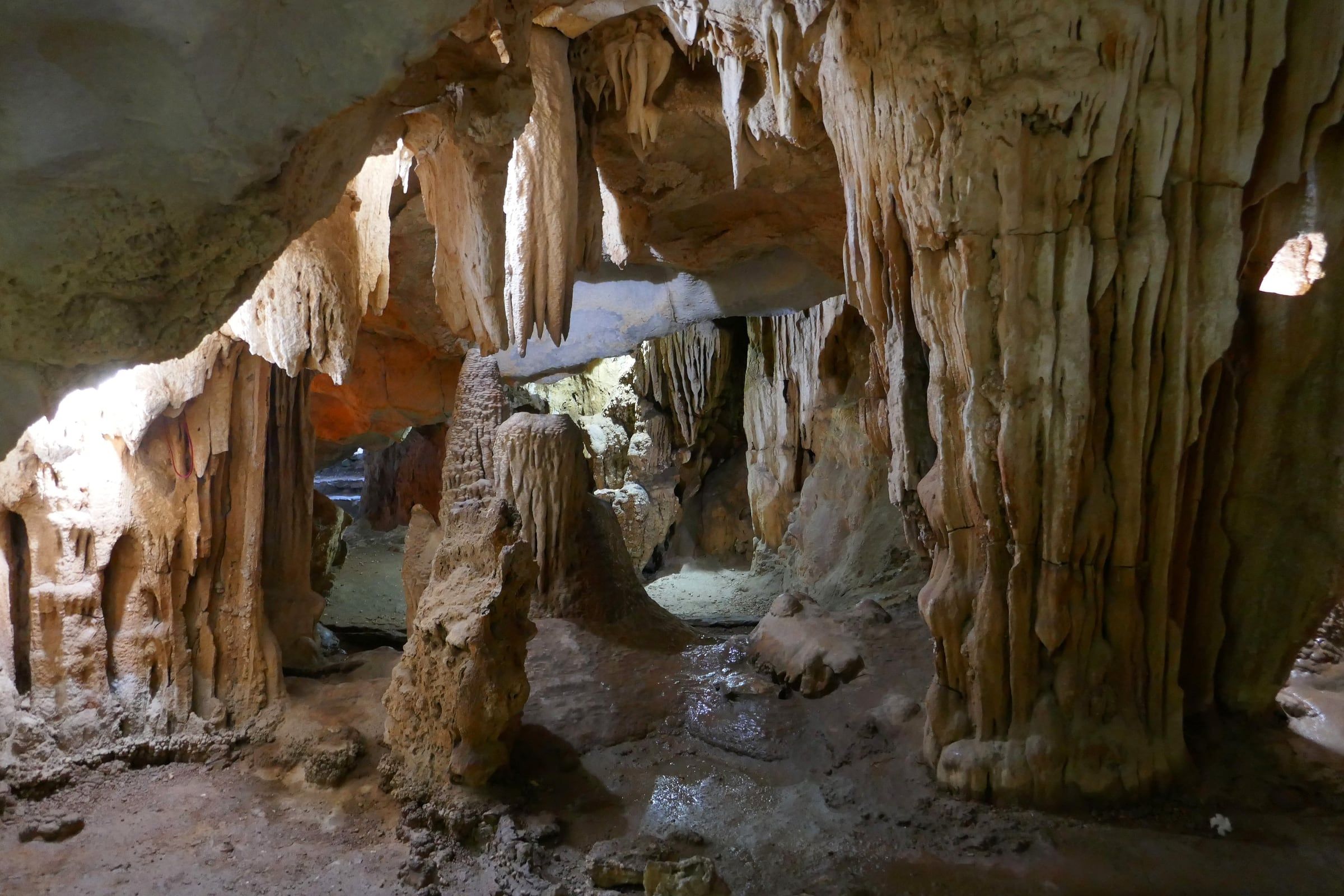
Động Mê Cung Ribbed stalactites and columns in cream and orange rock frame passages that open to daylight inside Mê Cung Cave. Photo: Ji-Elle, CC BY-SA 4.0 -
Động Mê Cung A path of pale gravel and flat stone steps climbs through a low rock arch in Mê Cung Cave, with a small light at the lower left.
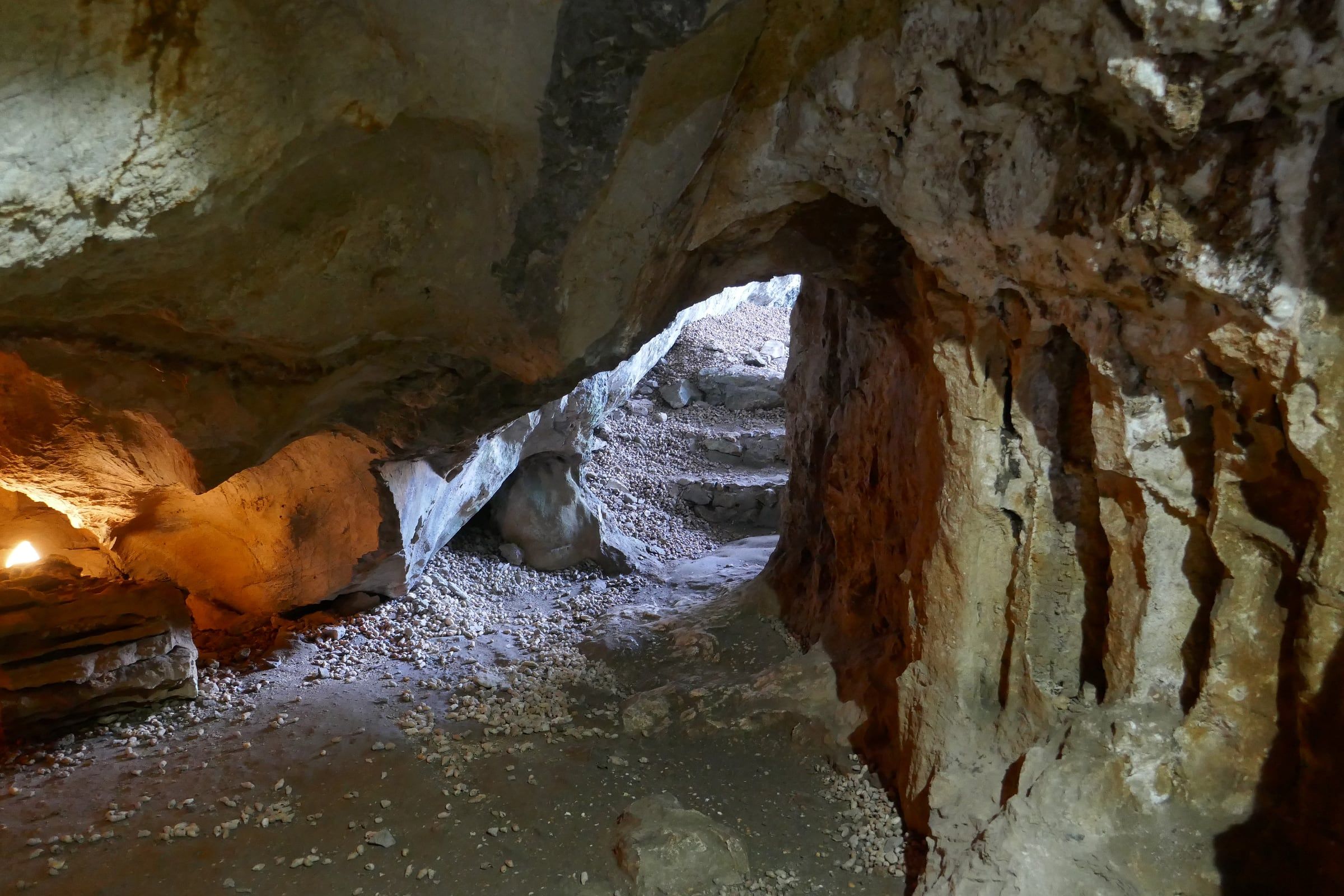
Động Mê Cung A path of pale gravel and flat stone steps climbs through a low rock arch in Mê Cung Cave, with a small light at the lower left. Photo: Ji-Elle, CC BY-SA 4.0 -
Động Thiên Cung Stalactites and flowstone are lit in green, orange and blue inside Thiên Cung Cave.
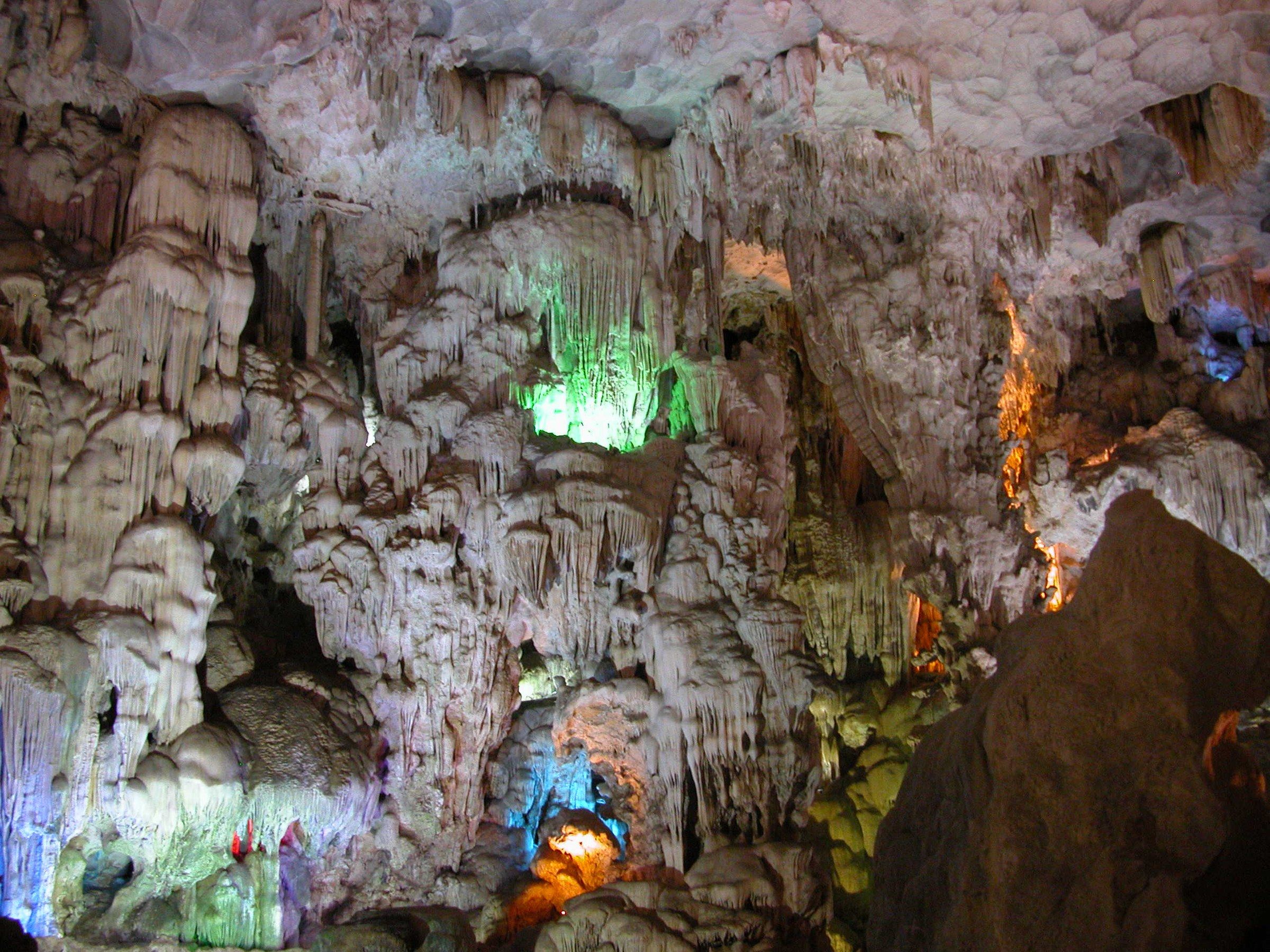
Động Thiên Cung Stalactites and flowstone are lit in green, orange and blue inside Thiên Cung Cave. Photo: Nguyễn Thanh Quang, CC BY-SA 4.0 -
Động Thiên Cung Floodlit stalagmites and flowstone fill a chamber of Thiên Cung Cave.
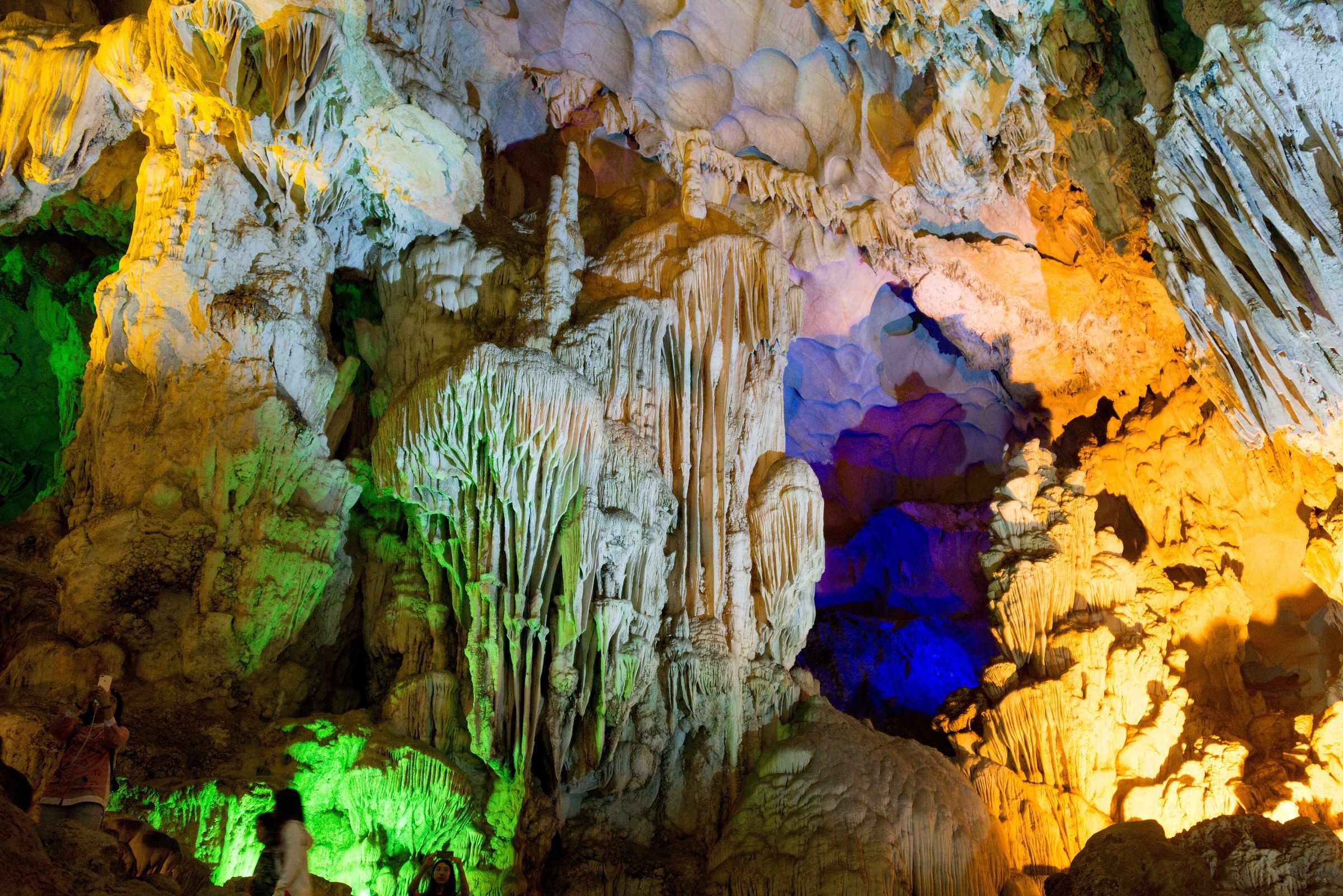
Động Thiên Cung Floodlit stalagmites and flowstone fill a chamber of Thiên Cung Cave. Photo: xiquinhosilva from Cacau, CC BY 2.0 -
Hang Đầu Gỗ A beam of daylight crosses a dark chamber of Đầu Gỗ Cave from an opening above.
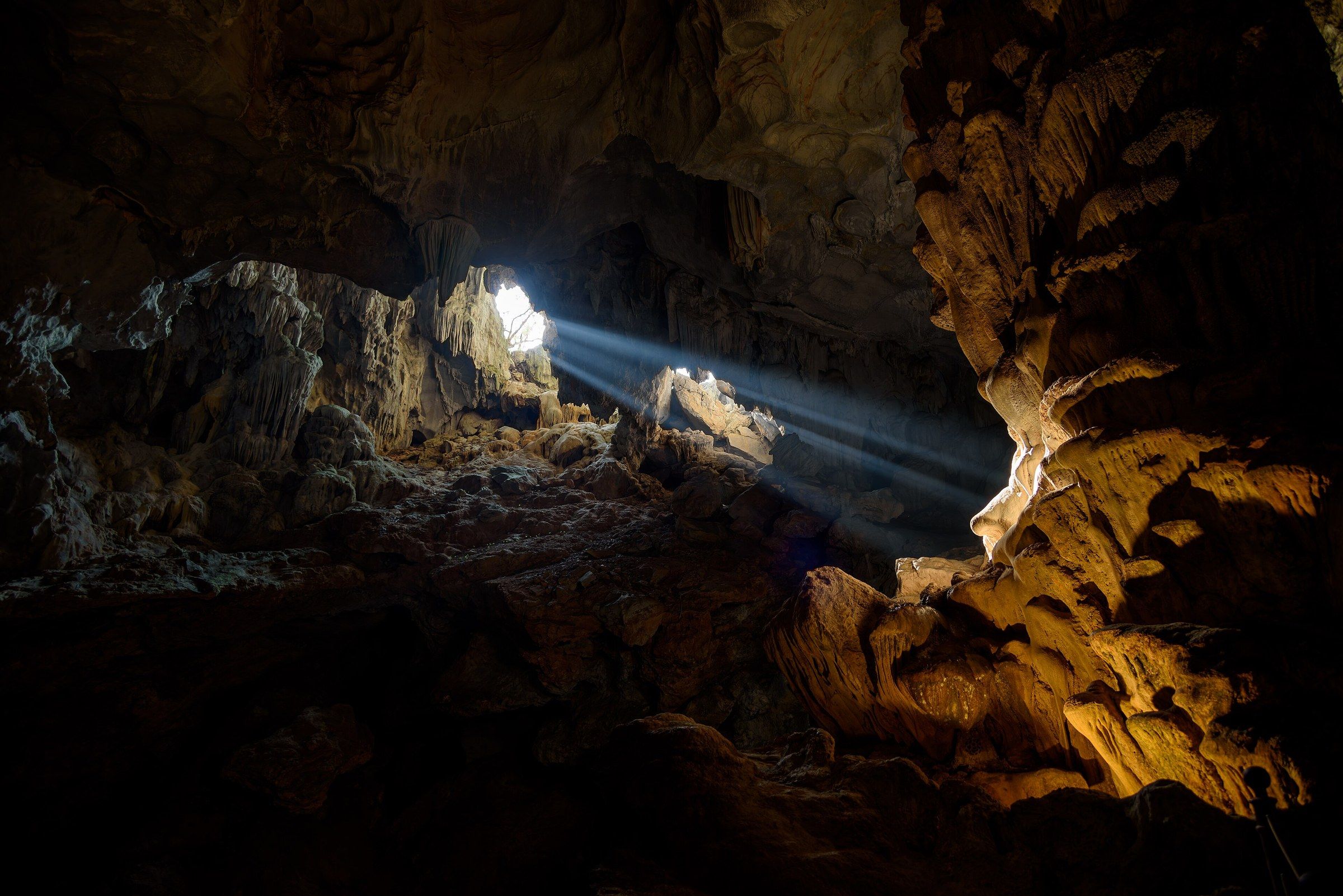
Hang Đầu Gỗ A beam of daylight crosses a dark chamber of Đầu Gỗ Cave from an opening above. Photo: Mustang Joe, CC0 -
Hang Đầu Gỗ Rowing boats of visitors wait on green water beyond the mouth of Đầu Gỗ Cave, seen from inside.
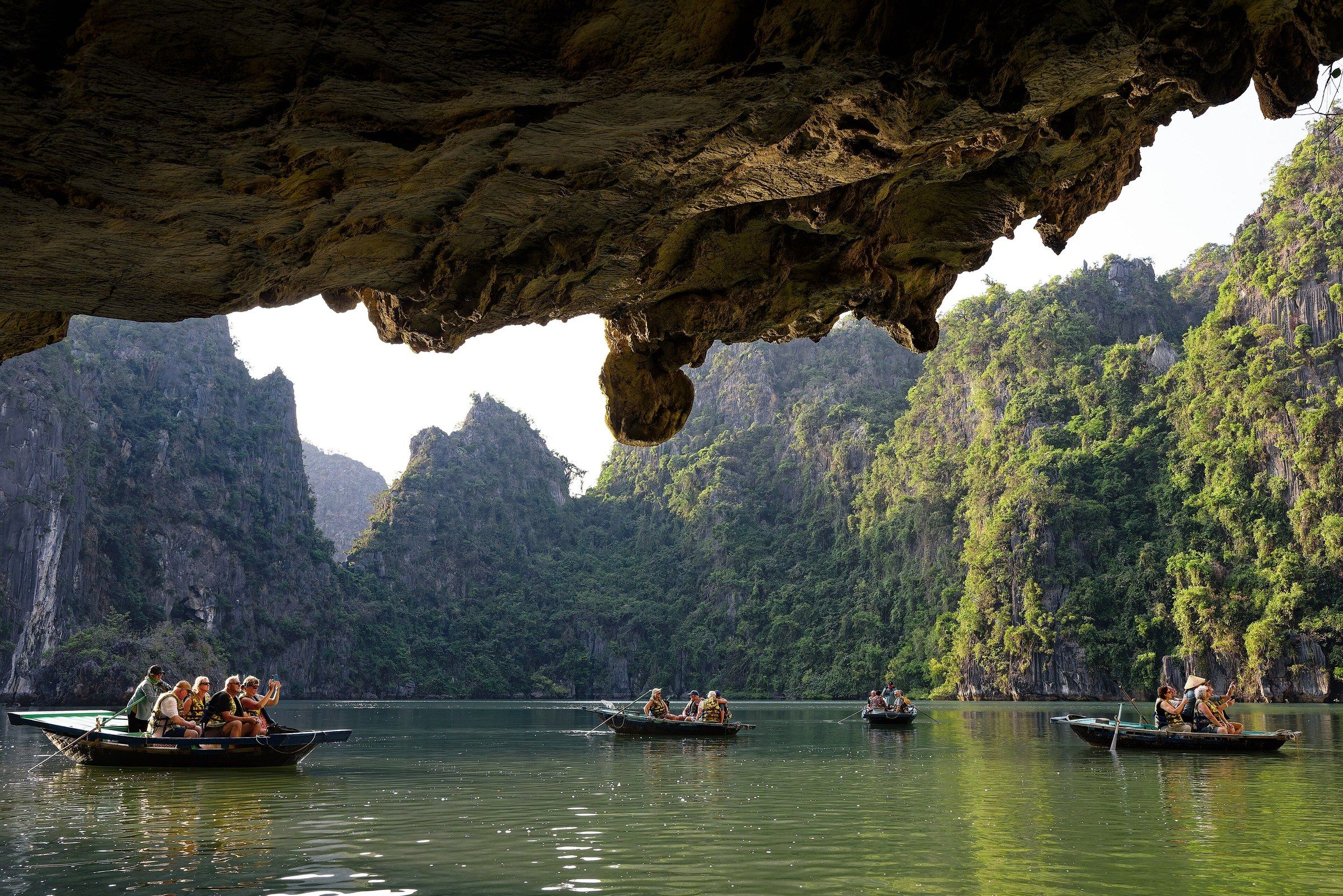
Hang Đầu Gỗ Rowing boats of visitors wait on green water beyond the mouth of Đầu Gỗ Cave, seen from inside. Photo: Mustang Joe, CC0 -
Hang Trinh Nữ Dark stalactites hang across the mouth of Trinh Nữ Cave, framing a view over calm green water to wooded limestone cliffs.
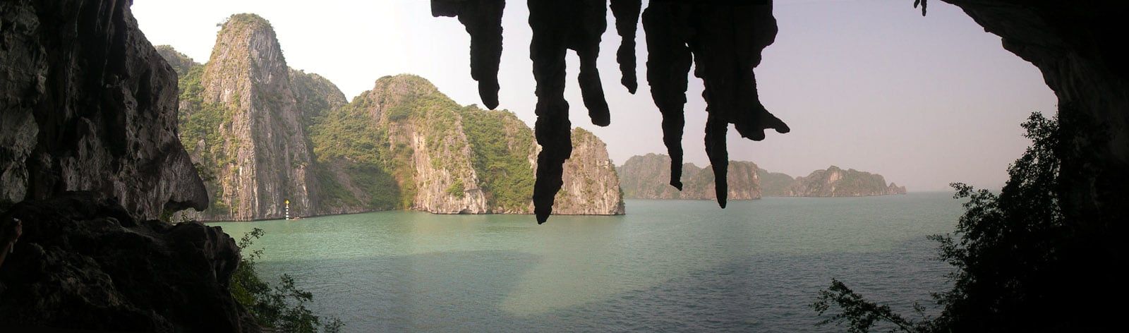
Hang Trinh Nữ Dark stalactites hang across the mouth of Trinh Nữ Cave, framing a view over calm green water to wooded limestone cliffs. Photo: Greg Willis from Denver, CO, usa, CC BY-SA 2.0 -
Hang Luồn A rower steers a boat towards the tunnel of Luồn Cave, beneath a limestone cliff hung with vegetation.
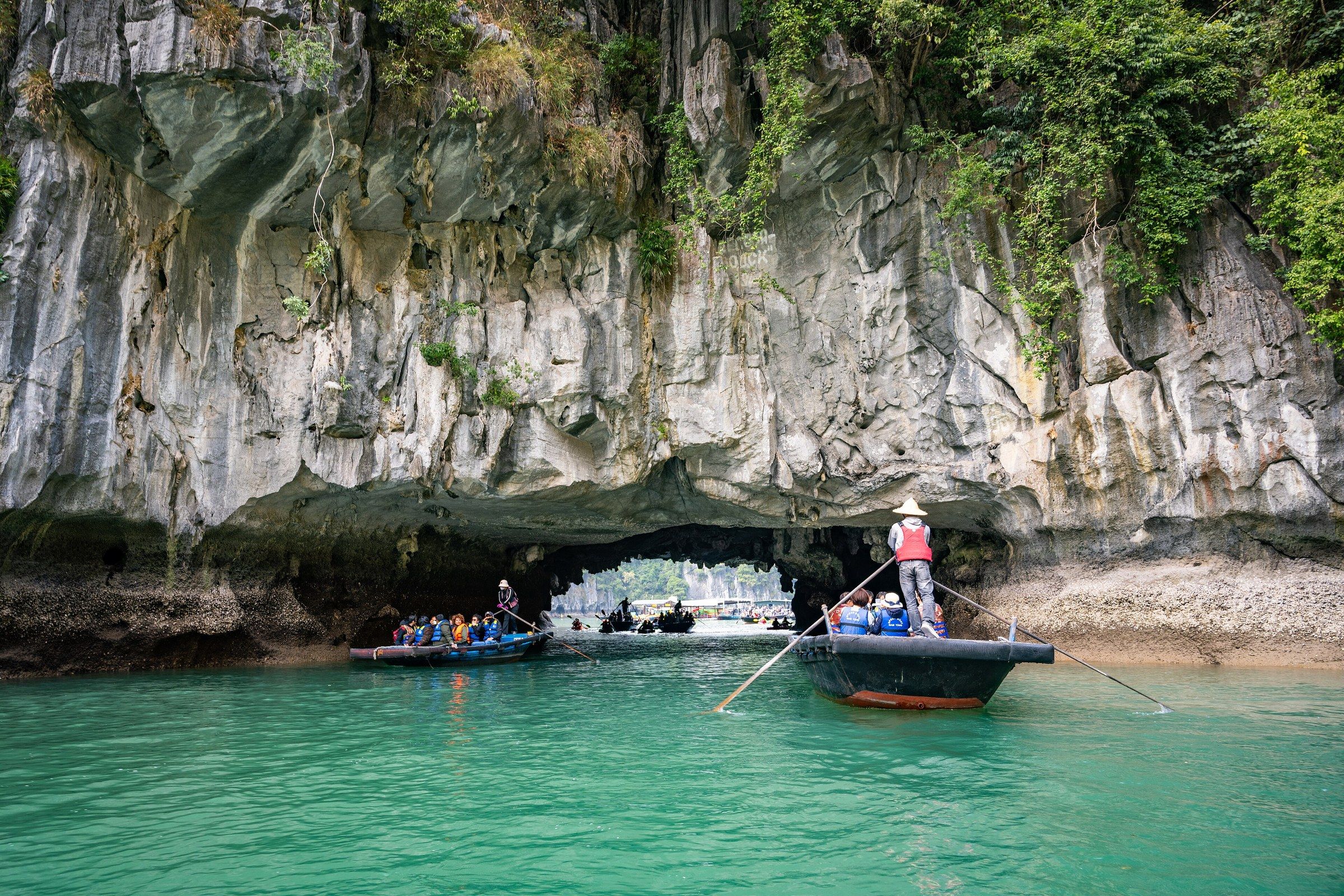
Hang Luồn A rower steers a boat towards the tunnel of Luồn Cave, beneath a limestone cliff hung with vegetation. Photo: Takeshi Aida from Hong Kong, Hong Kong, CC BY-SA 2.0 -
Hang Luồn Kayaks approach the low entrance of Luồn Cave, beneath a cliff face carrying the cave's name board.
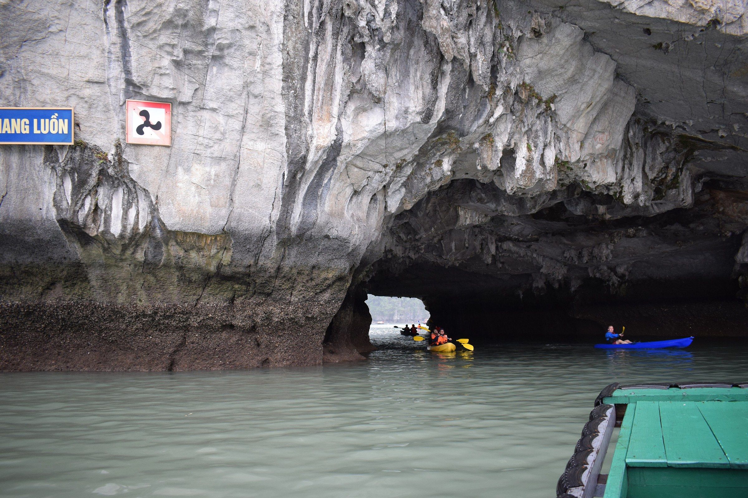
Hang Luồn Kayaks approach the low entrance of Luồn Cave, beneath a cliff face carrying the cave's name board. Photo: Mig Gilbert from Brighton, CC BY-SA 2.0 -
Hang Luồn Looking out through the Luồn Cave tunnel, a rowing boat with a standing rower and visitors in life jackets approaches among kayaks on green water.
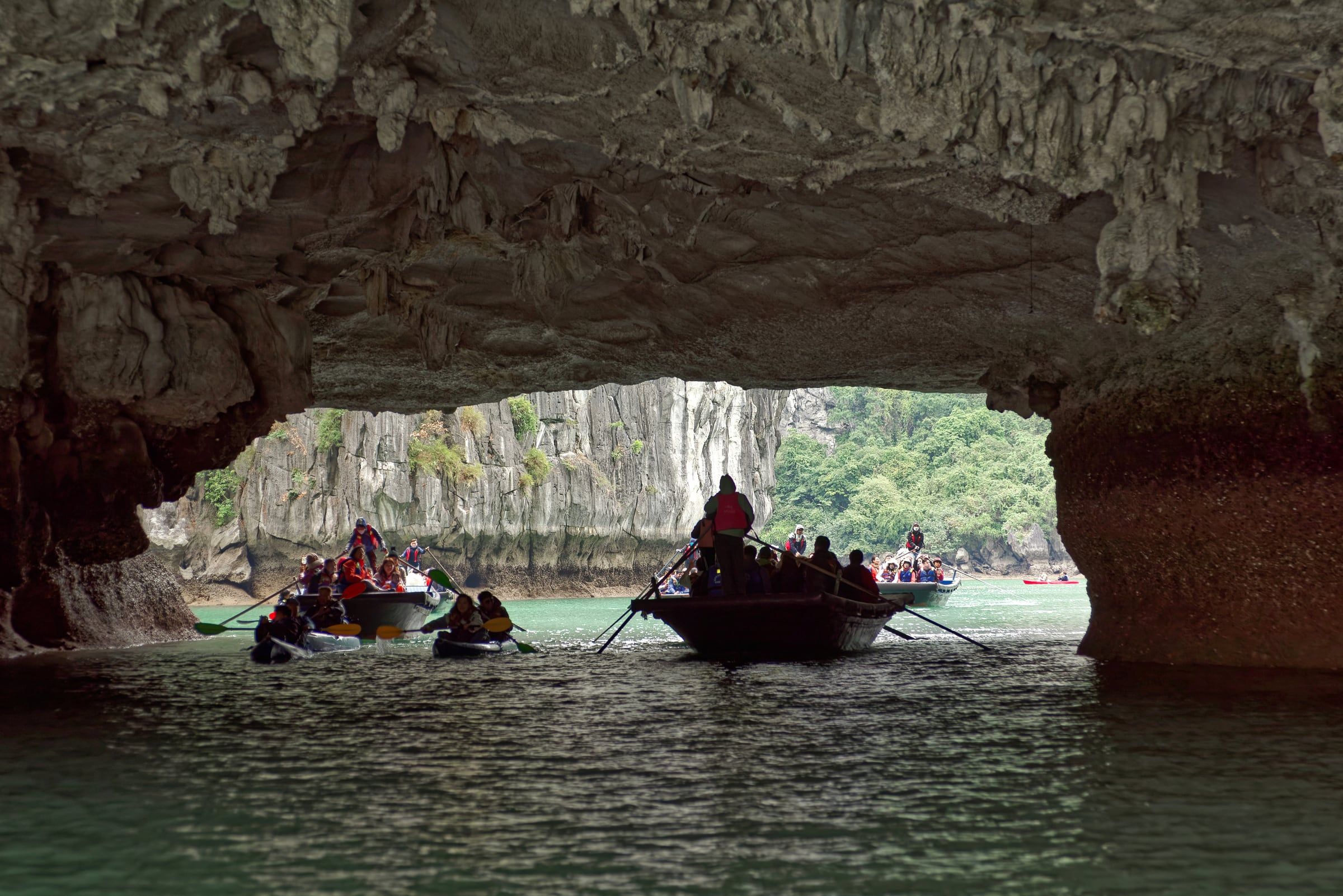
Hang Luồn Looking out through the Luồn Cave tunnel, a rowing boat with a standing rower and visitors in life jackets approaches among kayaks on green water. Photo: Jakub Hałun, CC BY 4.0 -
Hang Luồn The bow of a kayak points at the rock arch of Luồn Cave, with a boat of visitors beneath it.
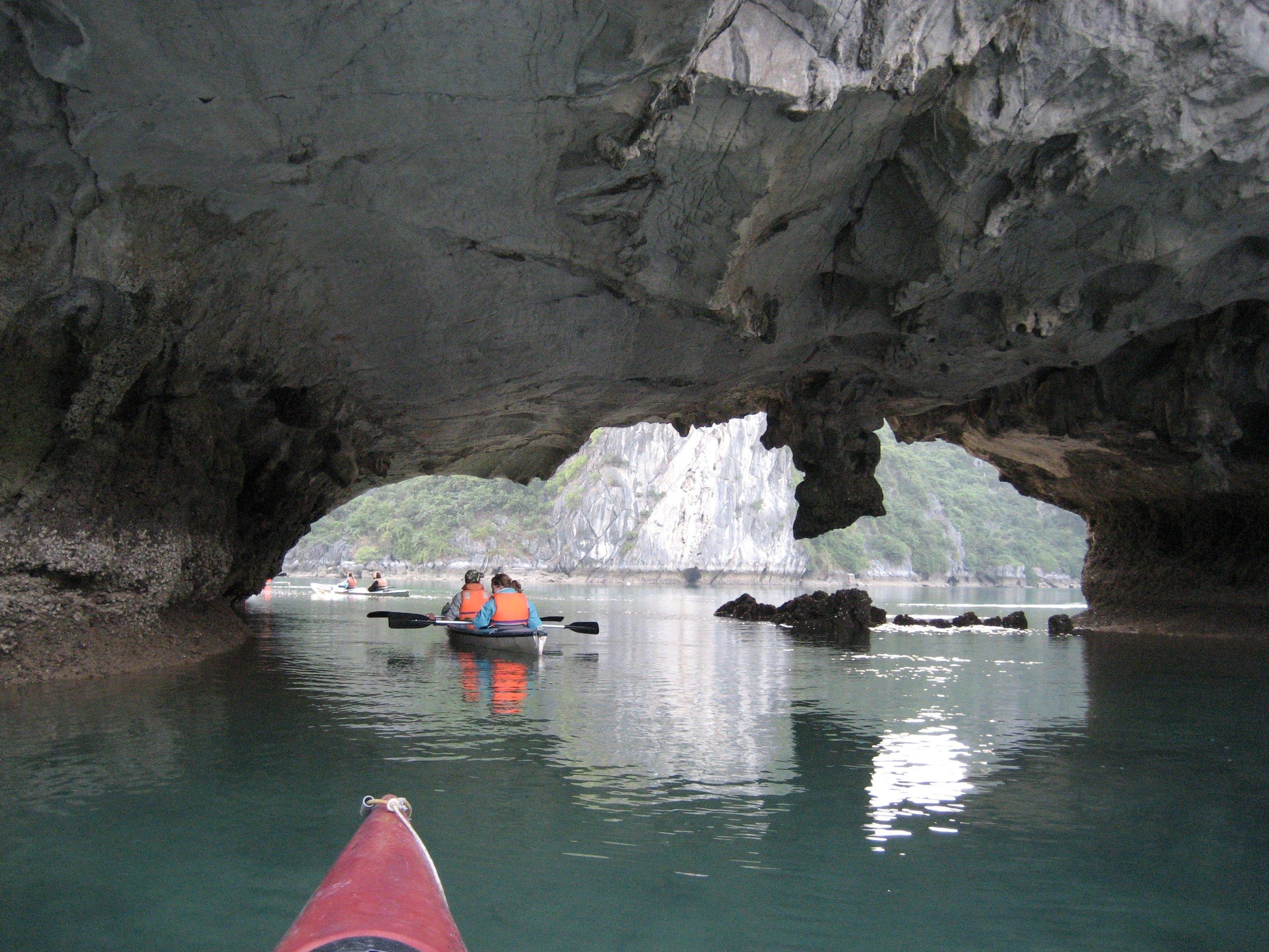
Hang Luồn The bow of a kayak points at the rock arch of Luồn Cave, with a boat of visitors beneath it. Photo: Arian Zwegers, CC BY 2.0 -
Vịnh Hạ Long Two kayakers paddle on dark water beneath the stalactite-hung ceiling of a cave in Hạ Long Bay.
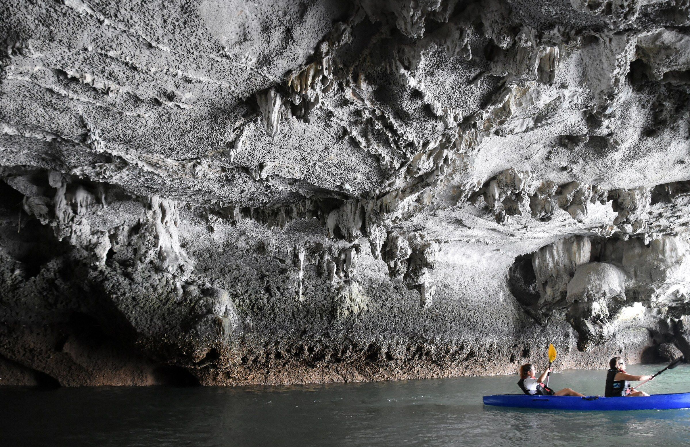
Vịnh Hạ Long Two kayakers paddle on dark water beneath the stalactite-hung ceiling of a cave in Hạ Long Bay. Photo: Richard Mortel from Riyadh, Saudi Arabia, CC BY 2.0 -
Vịnh Hạ Long Tourist rowing boats pass through a limestone cave arch over bright green water in Hạ Long Bay.
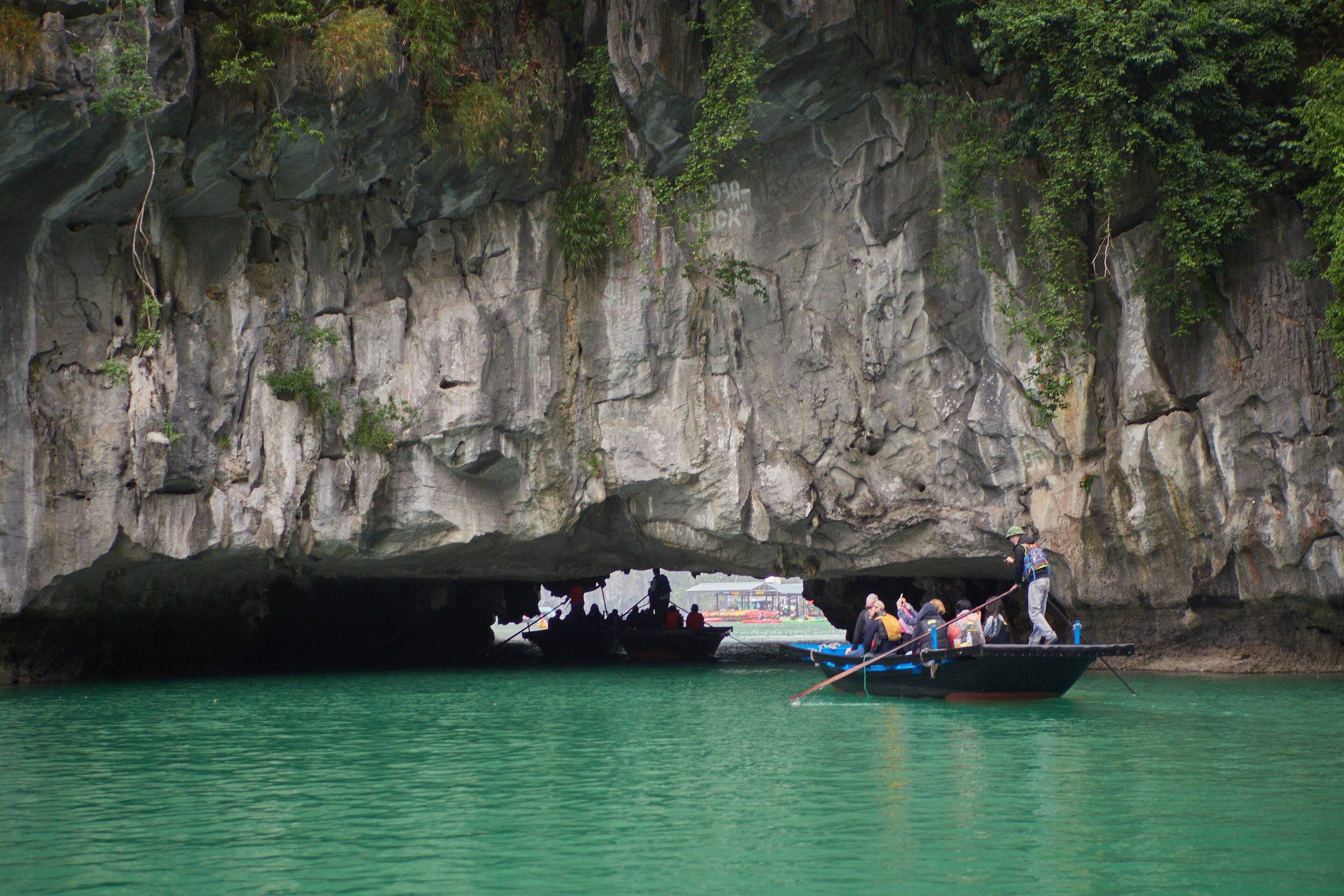
Vịnh Hạ Long Tourist rowing boats pass through a limestone cave arch over bright green water in Hạ Long Bay. Photo: lumoplank, CC0 -
Vịnh Hạ Long A wooden junk with orange sails on turquoise water, seen between stalactites at a cave mouth in Hạ Long Bay.
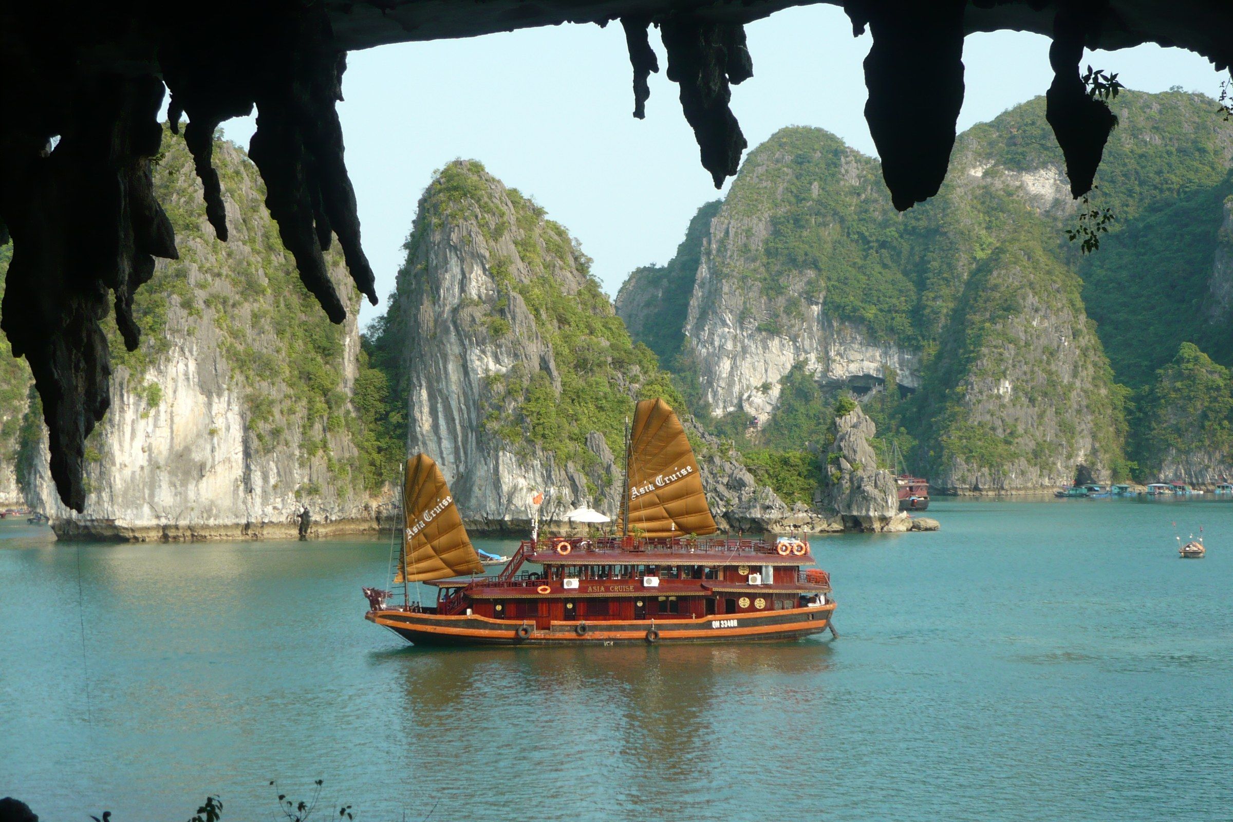
Vịnh Hạ Long A wooden junk with orange sails on turquoise water, seen between stalactites at a cave mouth in Hạ Long Bay. Photo: Arianos, Public domain -
Vịnh Hạ Long A view from a cave mouth over a cluster of limestone islets, photographed around 1906 by J. G. Mulder.
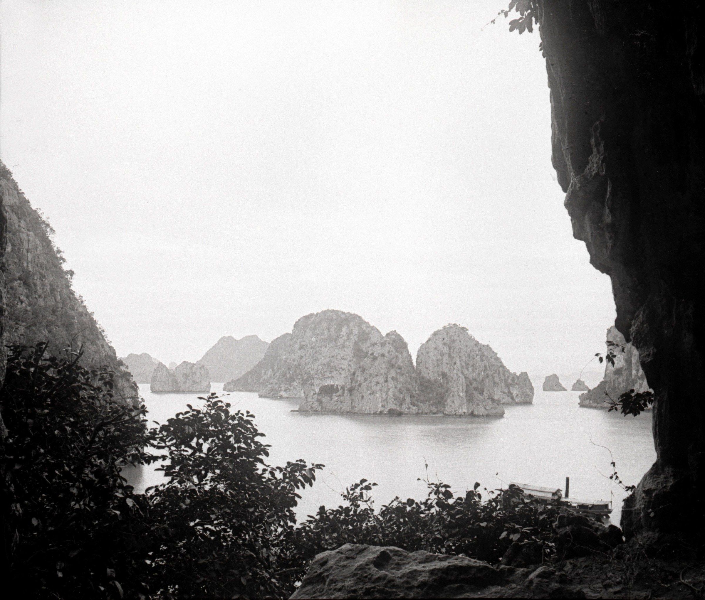
Vịnh Hạ Long A view from a cave mouth over a cluster of limestone islets, photographed around 1906 by J. G. Mulder. Photo: J. G. Mulder (1869-1922), Public domain -
Vịnh Hạ Long A view from a cave mouth over a bay, printed as Baie d'Along, Grotte de la Congaye in a 1931 publication.
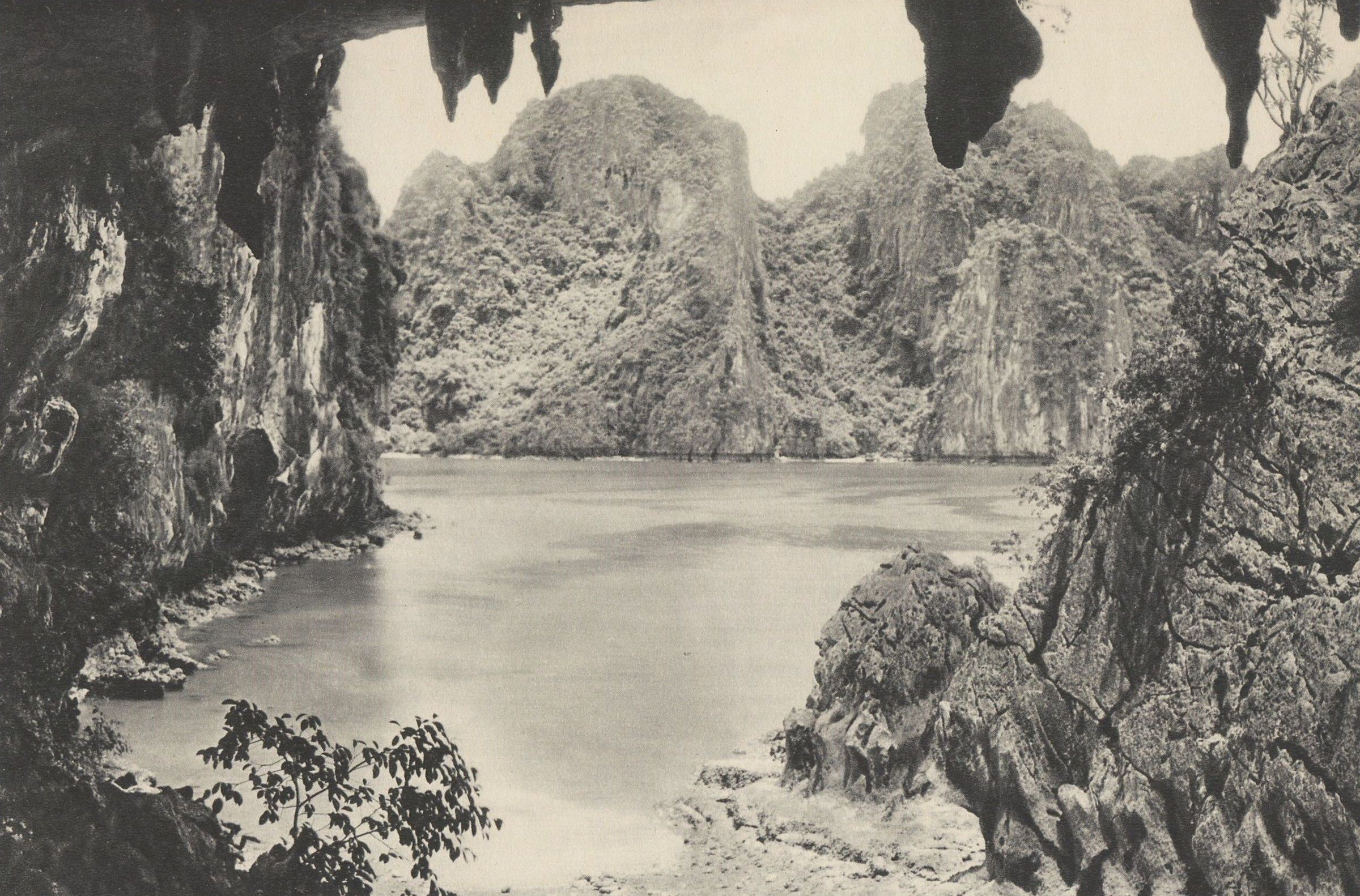
Vịnh Hạ Long A view from a cave mouth over a bay, printed as Baie d'Along, Grotte de la Congaye in a 1931 publication. Photo: Gouv. Général Indochine, Public domain
These 26 photographs show the caves: Sửng Sốt from its entrance stairway to the view from its exit, the passages of Mê Cung, the lit chambers of Thiên Cung and Đầu Gỗ, the mouth of Trinh Nữ and the boat-through tunnel of Luồn, with two archive views from cave mouths. About 70 caves lie in the core zone and 12 are open to visitors. Hang Sửng Sốt (Sung Sot Cave) on Bồ Hòn island is the largest open to visitors, about 10,000 m², and Hang Luồn is a flooded tunnel into a lagoon reached only by rowing boat or kayak.
The Board’s rules forbid breaking stalactites and carving or drawing in caves. The two archive views are in the public domain: one frame of a stereo pair taken around 1906 by J. G. Mulder, and a plate printed in 1931 with the caption “Baie d’Along, Grotte de la Congaye”. Which cave to visit, and how to reach it, is on the caves page.
Villages and boats
-
Làng chài Hoa Cương Floating houses and netted fish pens on blue barrels sit below a forested limestone ridge in Hạ Long Bay, with a blue sign reading Làng chài Hoa Cương on the nearest house.
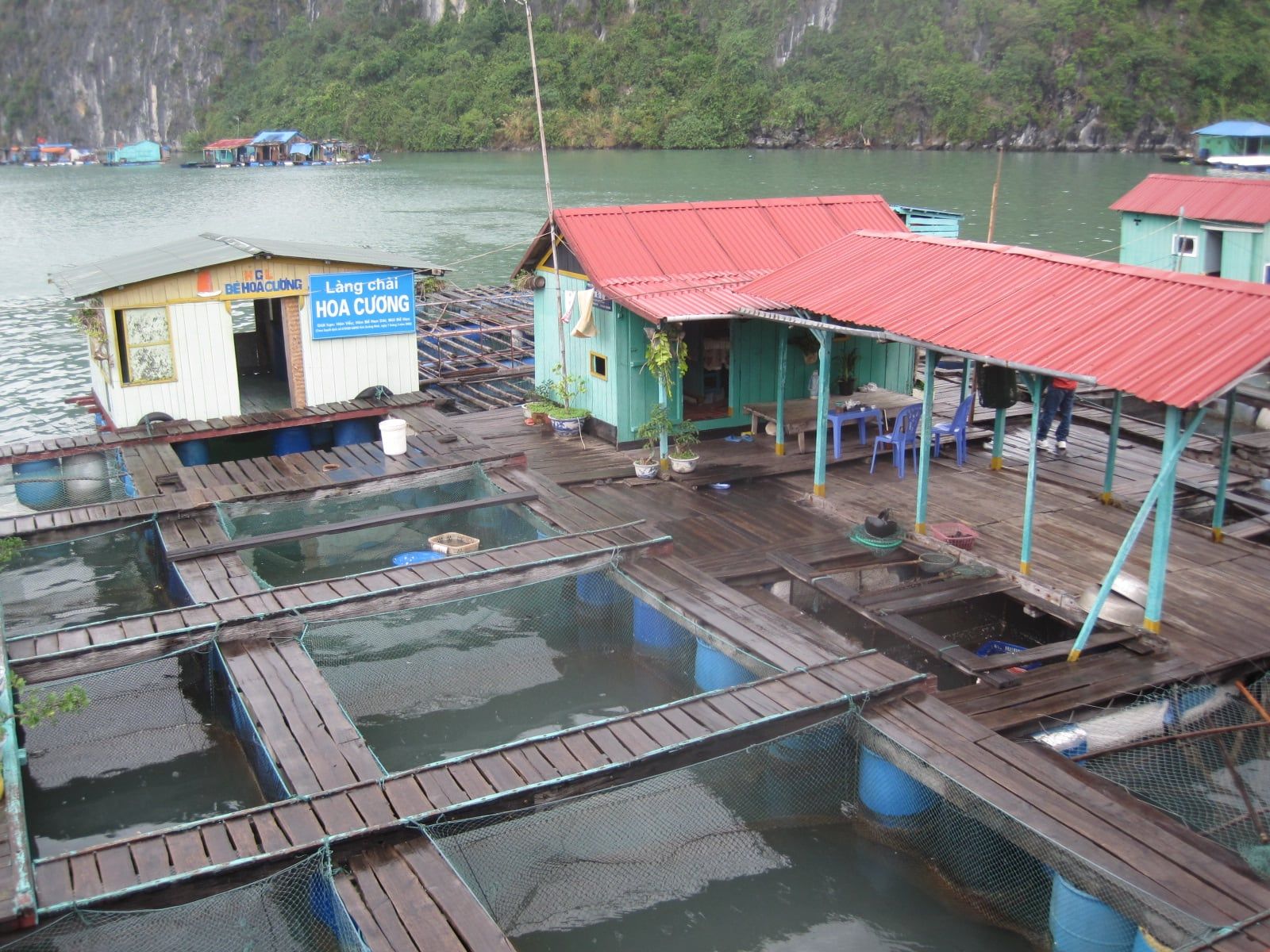
Làng chài Hoa Cương Floating houses and netted fish pens on blue barrels sit below a forested limestone ridge in Hạ Long Bay, with a blue sign reading Làng chài Hoa Cương on the nearest house. Photo: Arnaud 25, CC BY-SA 4.0 -
Vịnh Hạ Long Floating houses with tin roofs are moored below a limestone cliff in Hạ Long Bay.
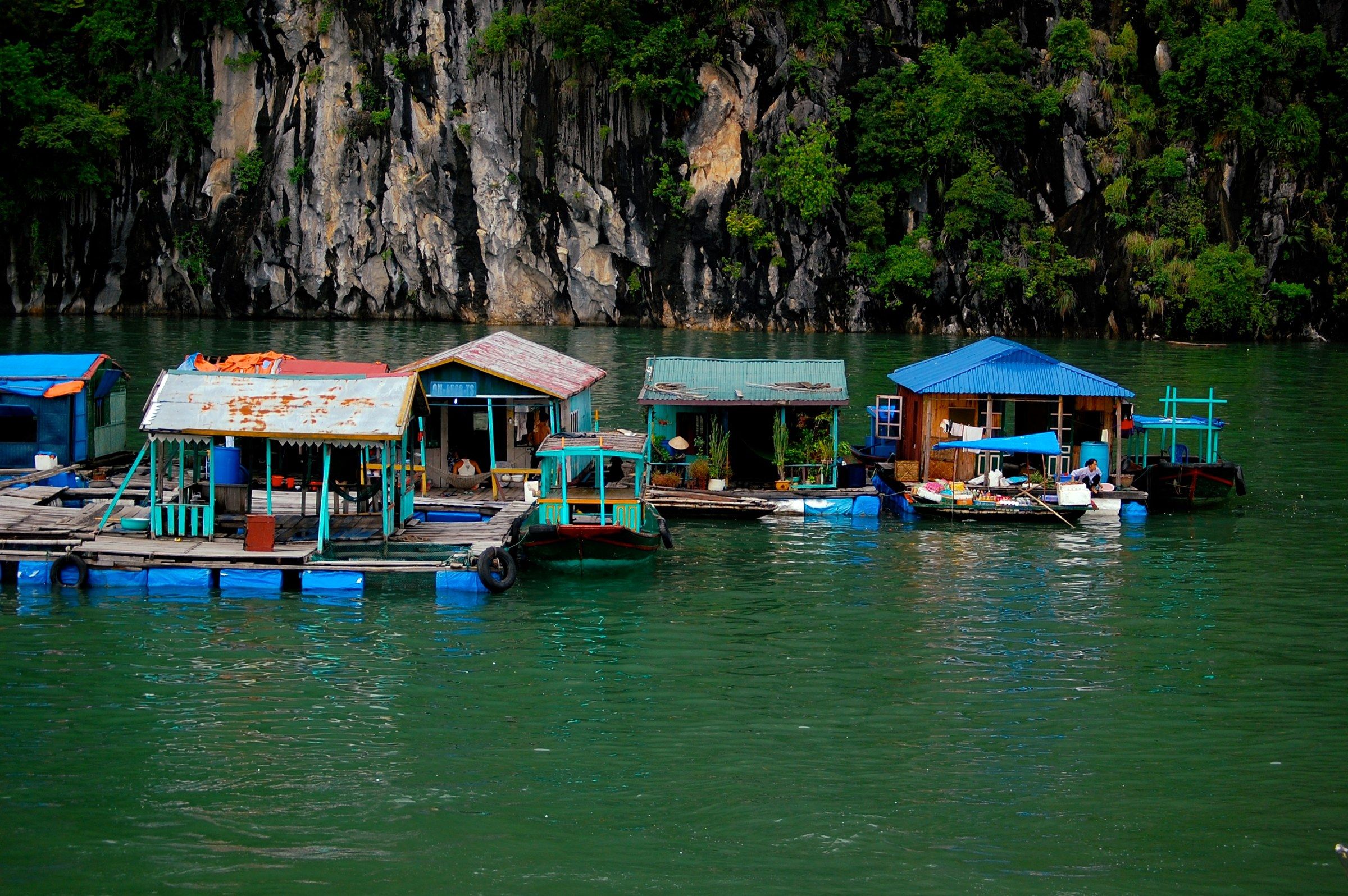
Vịnh Hạ Long Floating houses with tin roofs are moored below a limestone cliff in Hạ Long Bay. Photo: Jrwooley6, CC BY-SA 2.0 -
Vịnh Hạ Long A floating house with teal walls and an orange corrugated roof stands on blue barrels beside a tarpaulin-covered boat, below a limestone cliff in Hạ Long Bay.
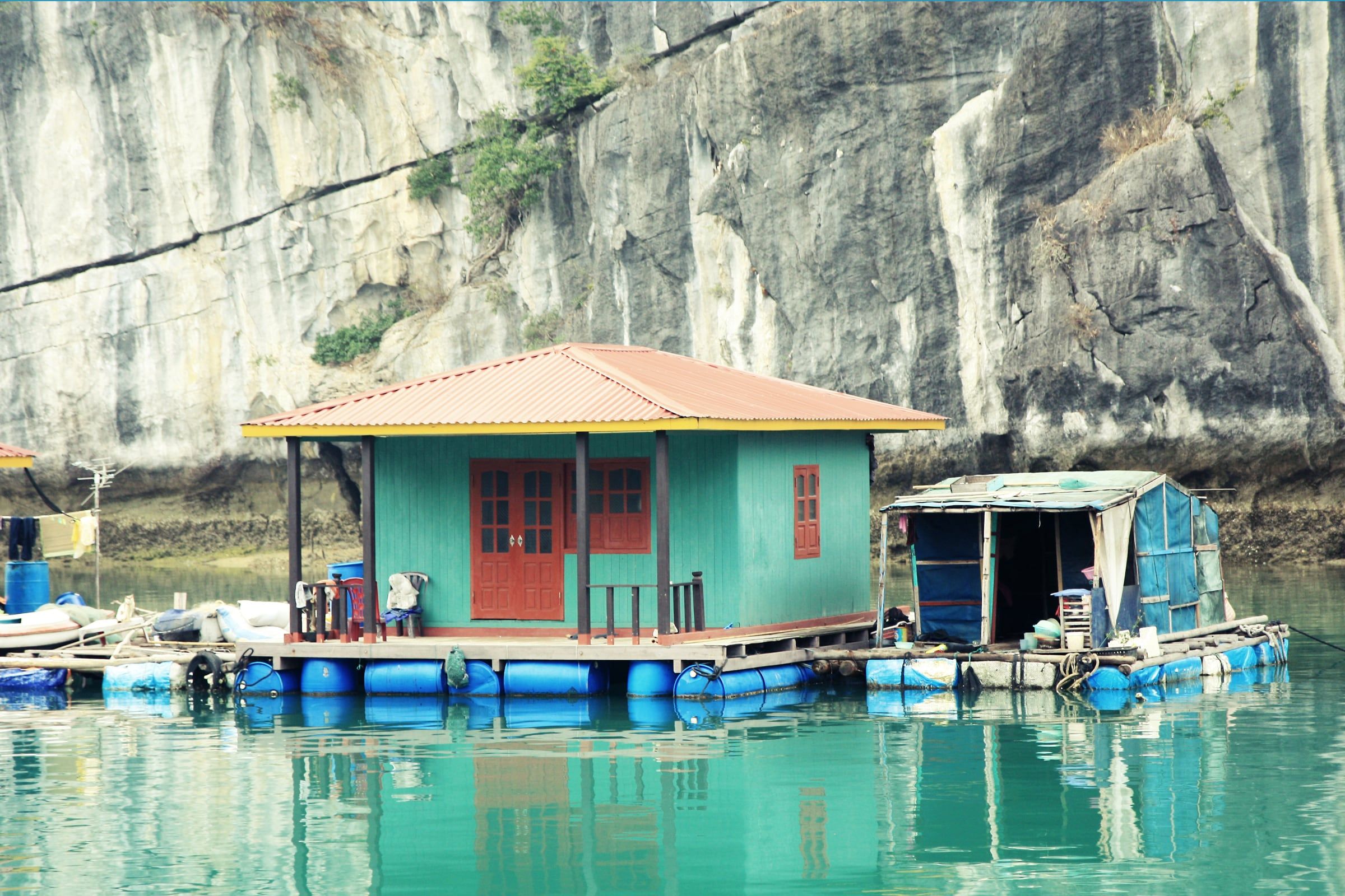
Vịnh Hạ Long A floating house with teal walls and an orange corrugated roof stands on blue barrels beside a tarpaulin-covered boat, below a limestone cliff in Hạ Long Bay. Photo: Andrea Schaffer from Sydney, Australia, CC BY 2.0 -
Vịnh Hạ Long A floating house with a red roof stands among fish-farm rafts below a forested ridge in Hạ Long Bay.
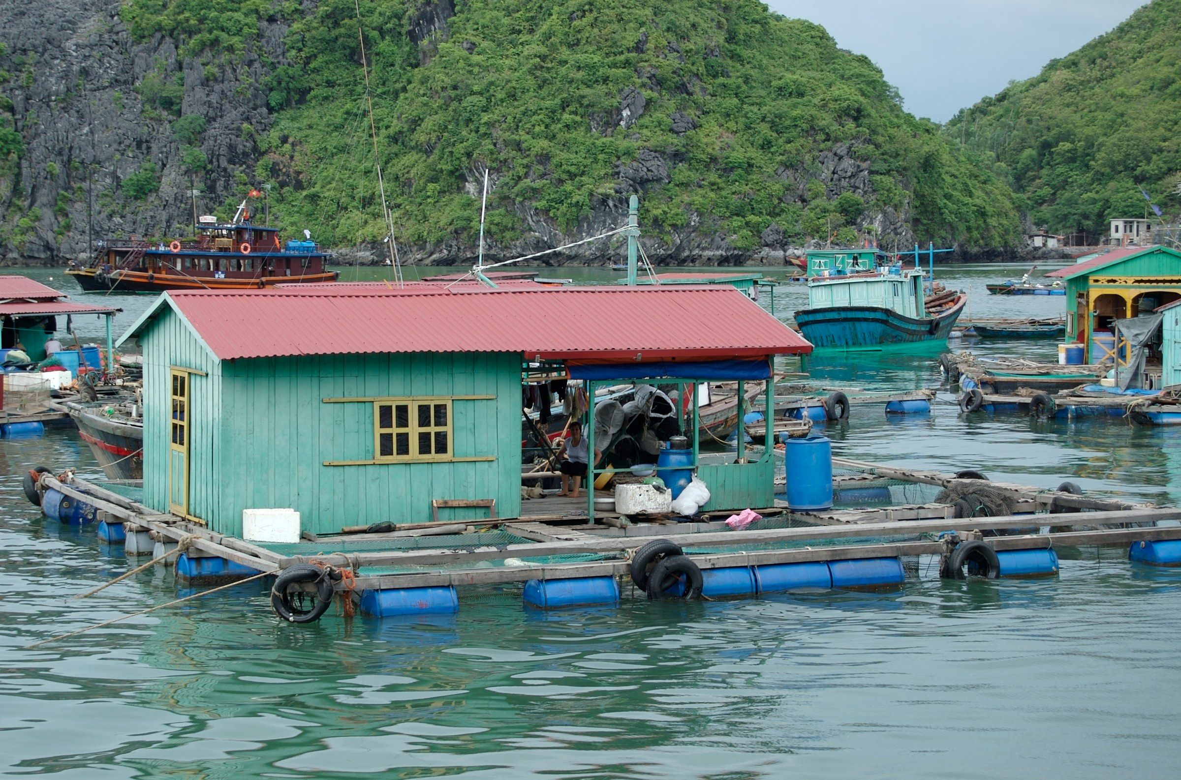
Vịnh Hạ Long A floating house with a red roof stands among fish-farm rafts below a forested ridge in Hạ Long Bay. Photo: Gregor Dodson, CC BY-SA 2.0 -
Vịnh Hạ Long Floating houses with turquoise walls stand on calm water below green limestone hills in Hạ Long Bay.
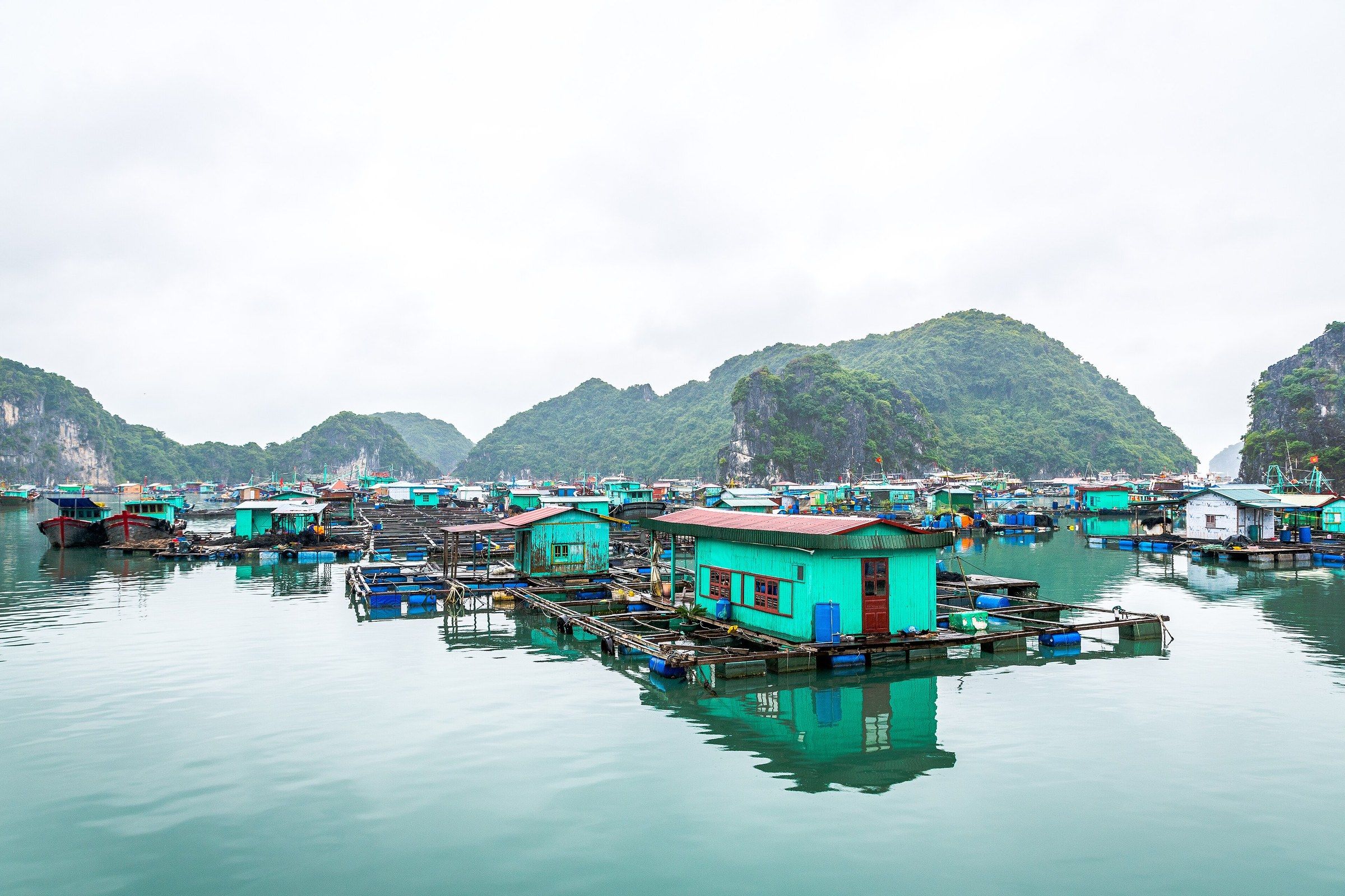
Vịnh Hạ Long Floating houses with turquoise walls stand on calm water below green limestone hills in Hạ Long Bay. Photo: Preparetavalise.com, CC BY-SA 4.0 -
Vịnh Hạ Long Floating houses with red and blue roofs stand on a long blue pontoon below a steep forested limestone hill, with a small covered boat passing at left in Hạ Long Bay.
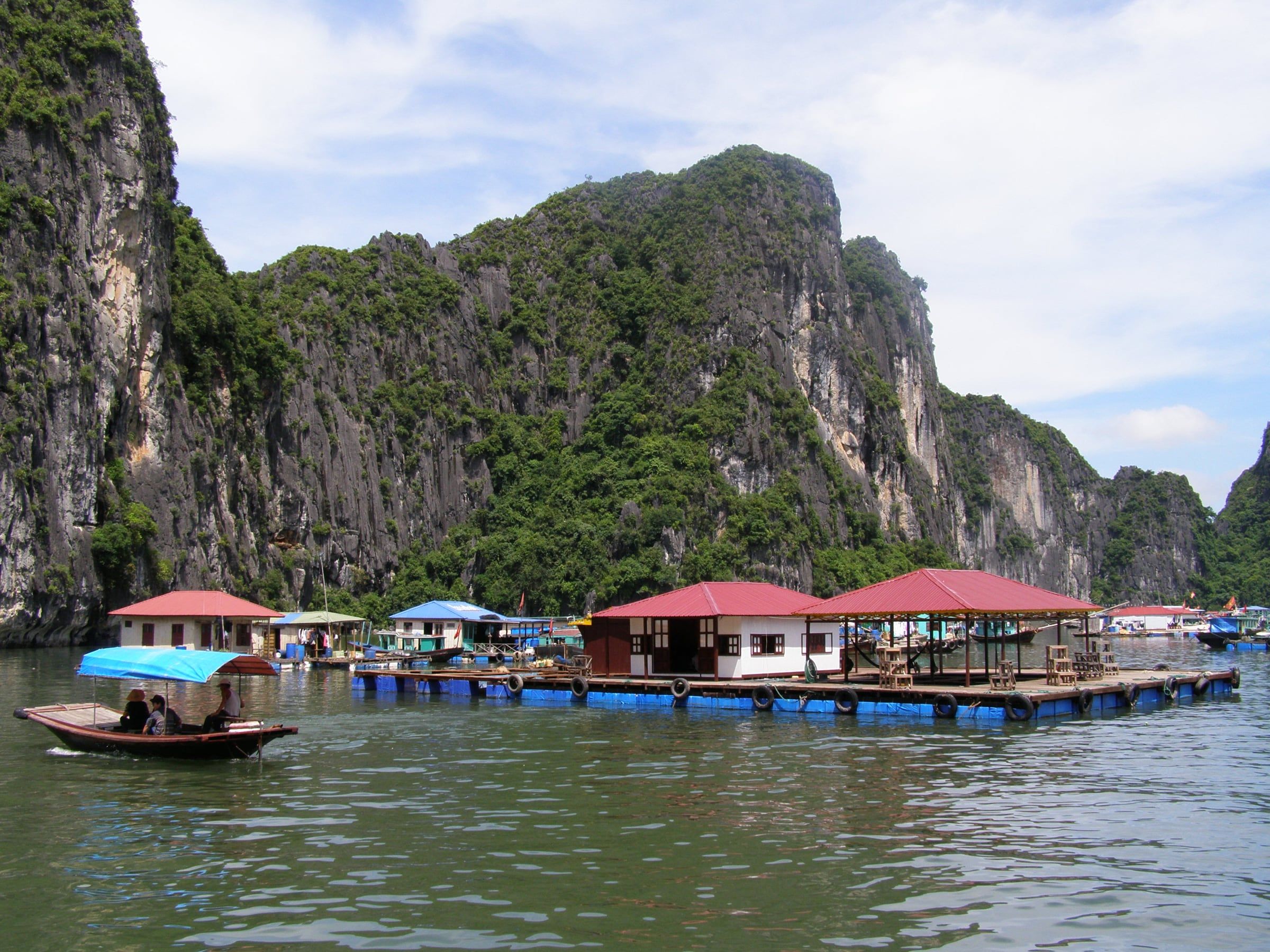
Vịnh Hạ Long Floating houses with red and blue roofs stand on a long blue pontoon below a steep forested limestone hill, with a small covered boat passing at left in Hạ Long Bay. Photo: RG72, CC BY-SA 4.0 -
Vịnh Hạ Long A floating home with a green tin roof, clothes on a rack and a hammock stands on a pontoon beside two red boats, with a Vietnamese flag flying above, below a wooded cliff in Hạ Long Bay.
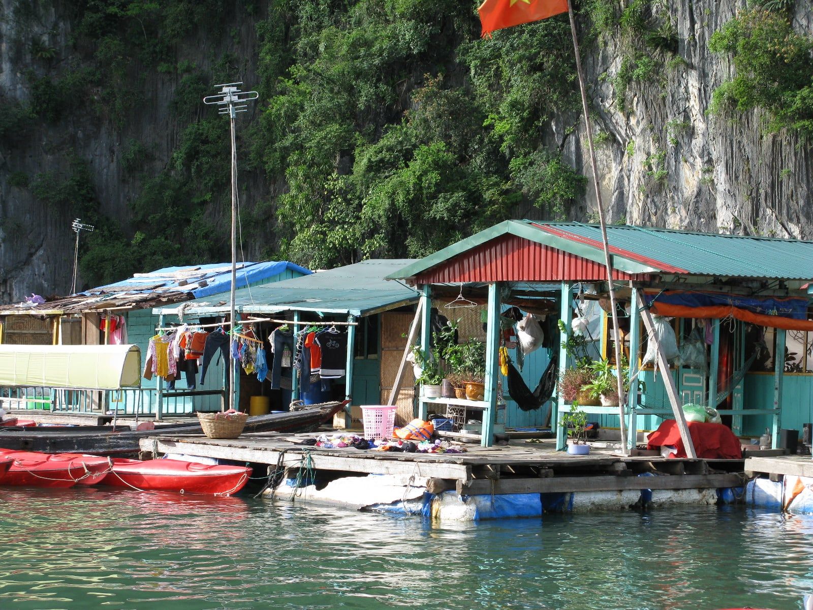
Vịnh Hạ Long A floating home with a green tin roof, clothes on a rack and a hammock stands on a pontoon beside two red boats, with a Vietnamese flag flying above, below a wooded cliff in Hạ Long Bay. Photo: Caitriana Nicholson from Beijing, China, CC BY-SA 2.0 -
Vịnh Hạ Long A dog sleeps on the deck of a floating house, with fishing nets hung beside it, in a village in Hạ Long Bay.
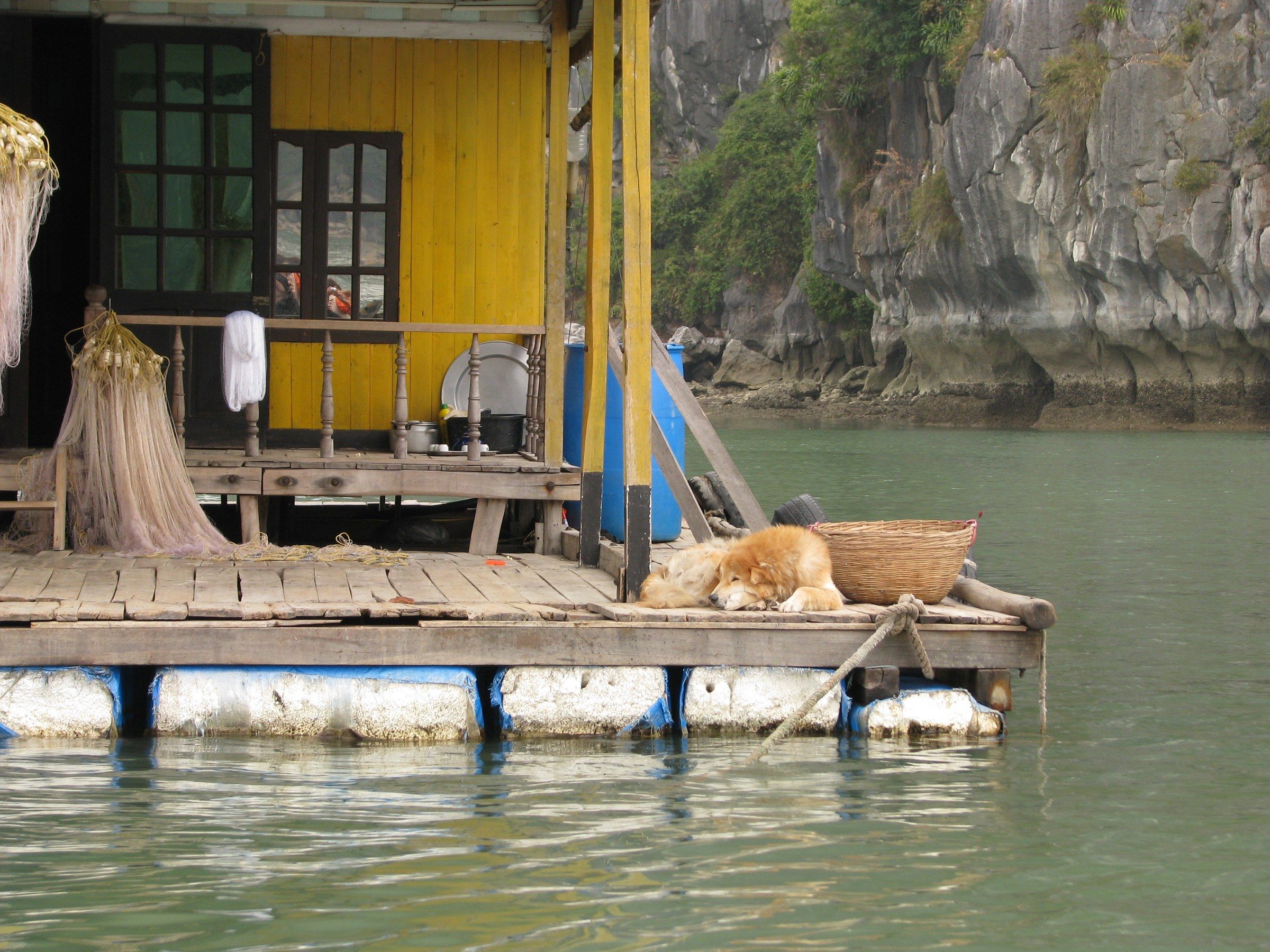
Vịnh Hạ Long A dog sleeps on the deck of a floating house, with fishing nets hung beside it, in a village in Hạ Long Bay. Photo: McKay Savage from London, UK, CC BY 2.0 -
Vịnh Hạ Long Rowers in conical hats wait in small wooden boats beside a green-roofed floating shelter in morning mist between limestone cliffs in Hạ Long Bay.
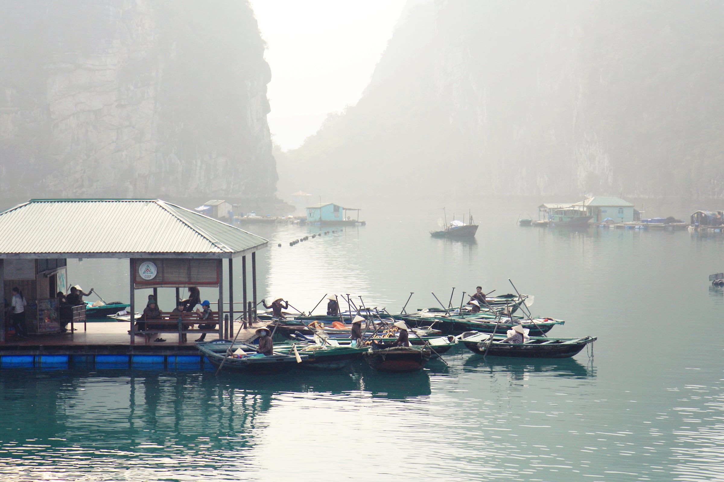
Vịnh Hạ Long Rowers in conical hats wait in small wooden boats beside a green-roofed floating shelter in morning mist between limestone cliffs in Hạ Long Bay. Photo: Andrea Schaffer from Sydney, Australia, CC BY 2.0 -
Vịnh Hạ Long A rower in a red top crosses calm green water in a small wooden boat in front of floating houses and moored boats below wooded cliffs in Hạ Long Bay.
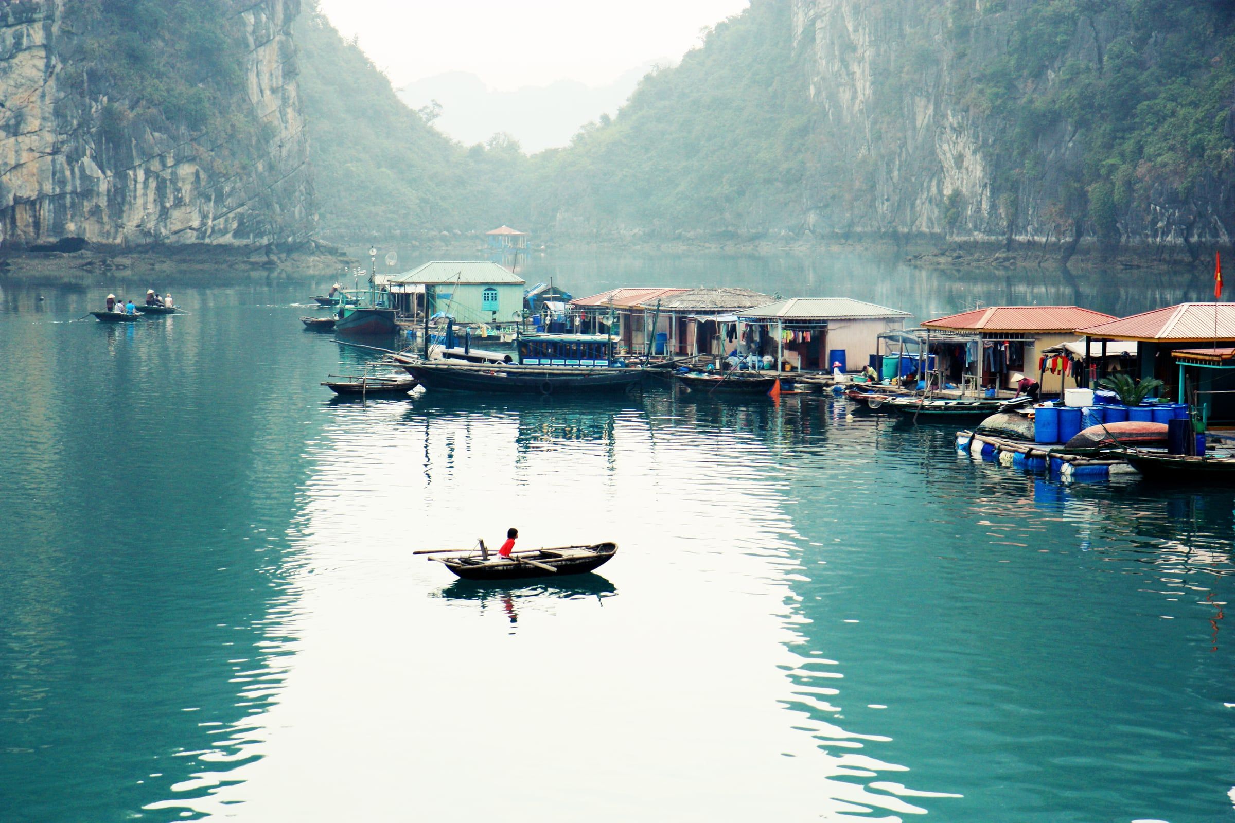
Vịnh Hạ Long A rower in a red top crosses calm green water in a small wooden boat in front of floating houses and moored boats below wooded cliffs in Hạ Long Bay. Photo: Andrea Schaffer from Sydney, Australia, CC BY 2.0 -
Vịnh Hạ Long A small round basket boat is towed over emerald water below limestone cliffs in Hạ Long Bay.
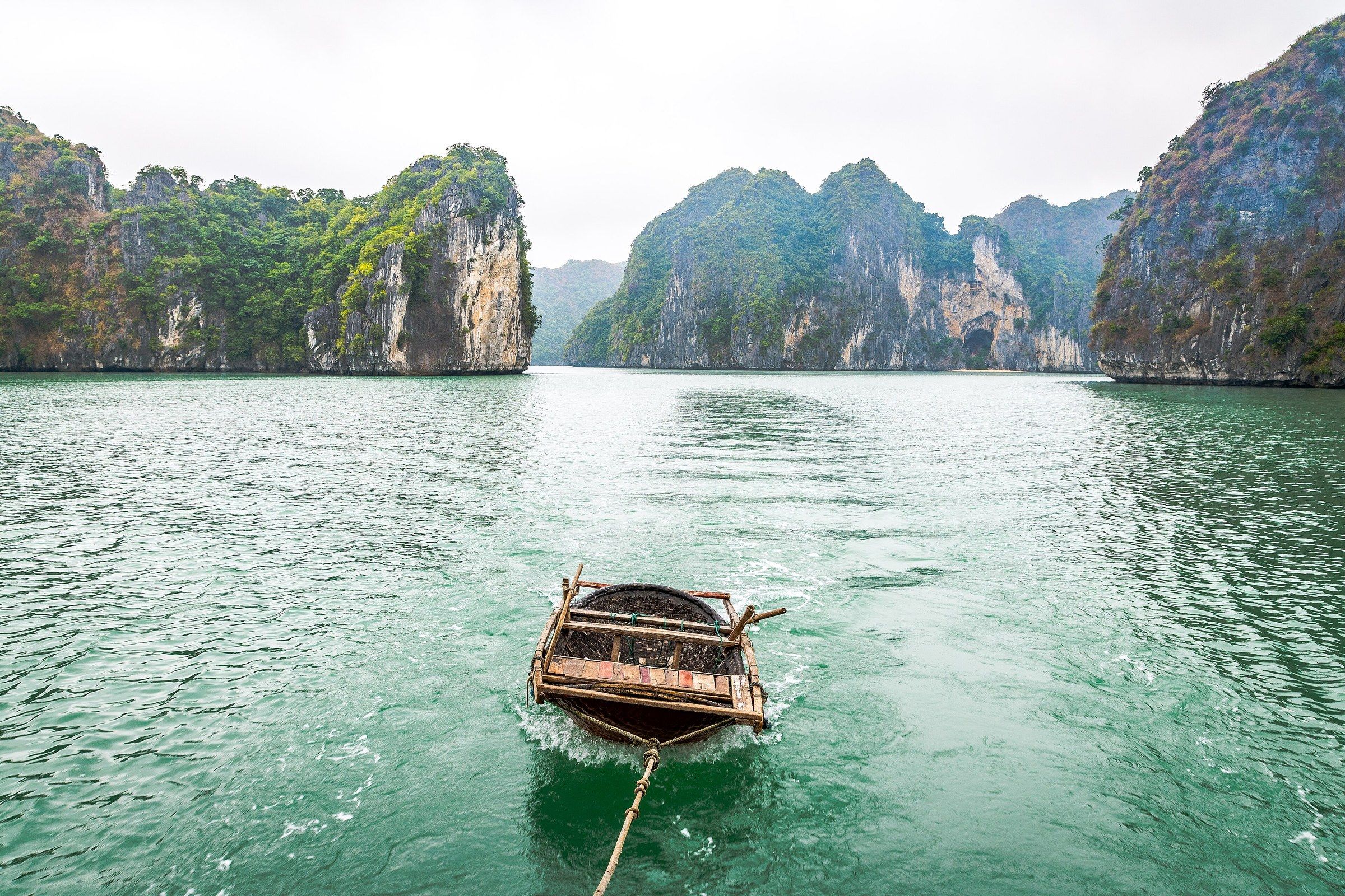
Vịnh Hạ Long A small round basket boat is towed over emerald water below limestone cliffs in Hạ Long Bay. Photo: Preparetavalise.com, CC BY-SA 4.0 -
Vịnh Hạ Long Sellers in conical hats sit in small wooden boats loaded with bowls and baskets of seafood among limestone islands in Hạ Long Bay.
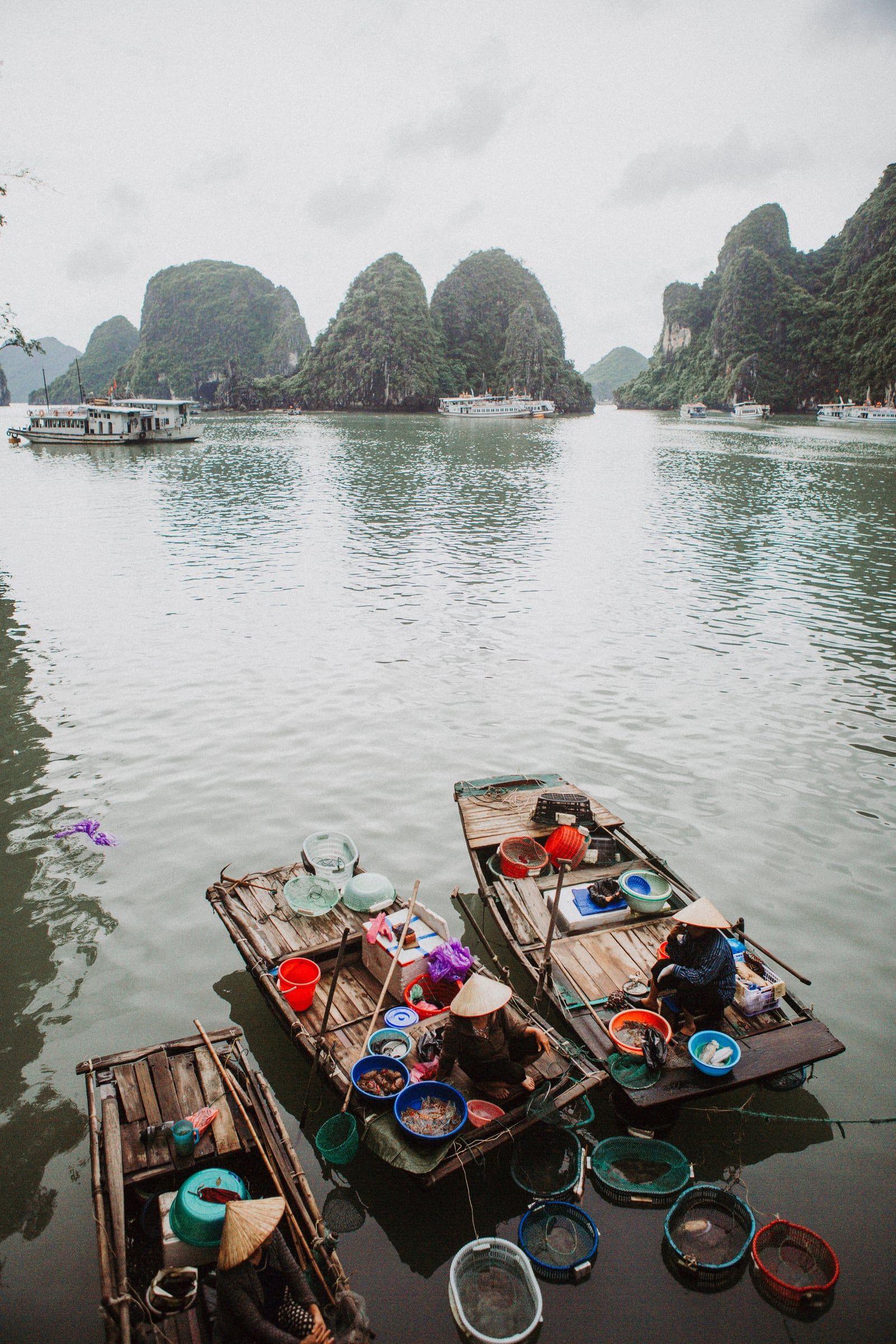
Vịnh Hạ Long Sellers in conical hats sit in small wooden boats loaded with bowls and baskets of seafood among limestone islands in Hạ Long Bay. Photo: Kris Martyn, CC BY-SA 4.0 -
Đảo Ti Tốp Pearl oysters hang in wire-framed nets beside a floating timber platform on blue barrels, with limestone cliffs across green water near Ti Tốp Island.
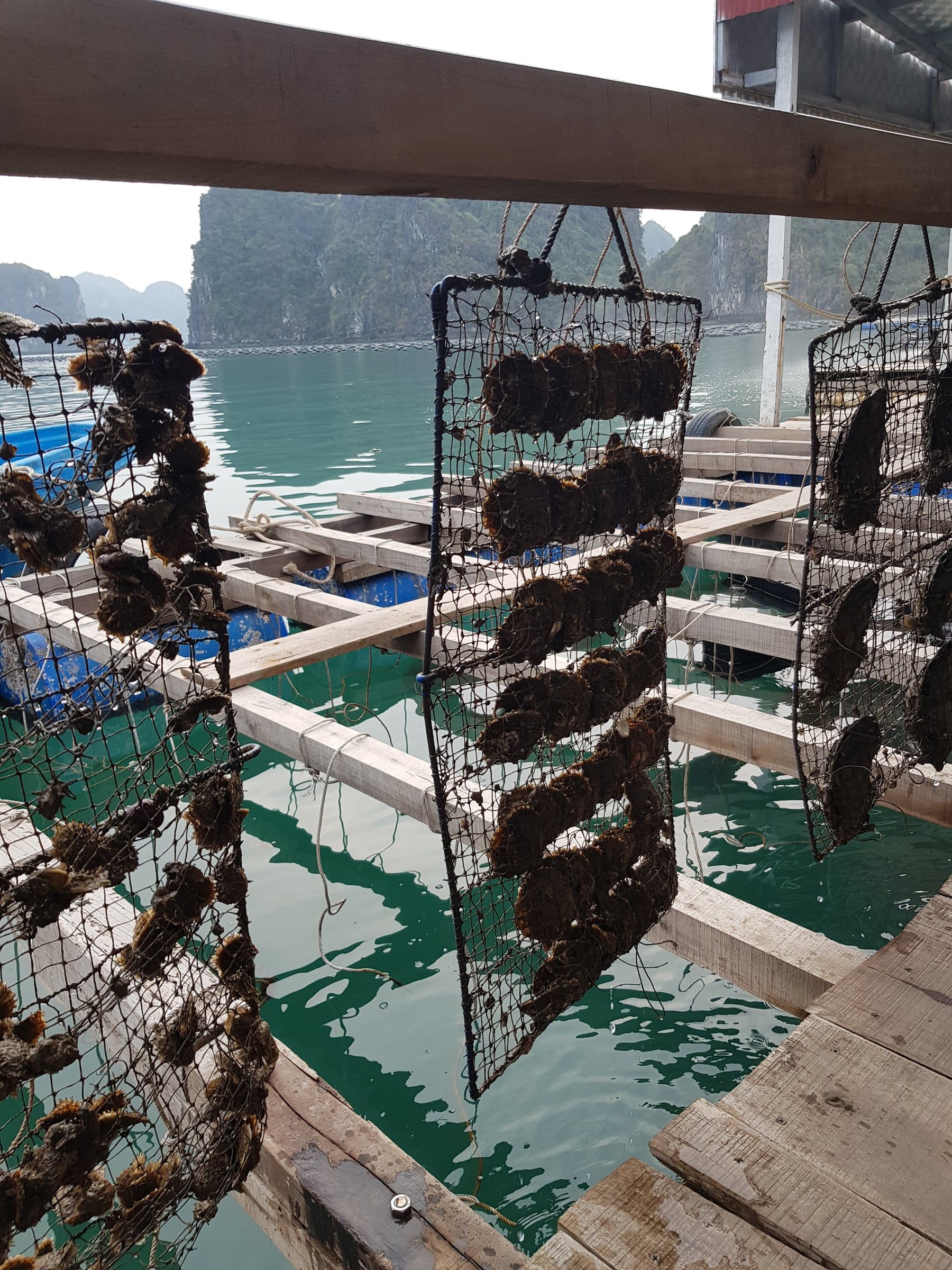
Đảo Ti Tốp Pearl oysters hang in wire-framed nets beside a floating timber platform on blue barrels, with limestone cliffs across green water near Ti Tốp Island. Photo: Andre Hospers, CC BY 4.0 -
Đảo Ti Tốp Pearl oysters are heaped in a woven basket at a pearl-farming display on Ti Tốp Island.
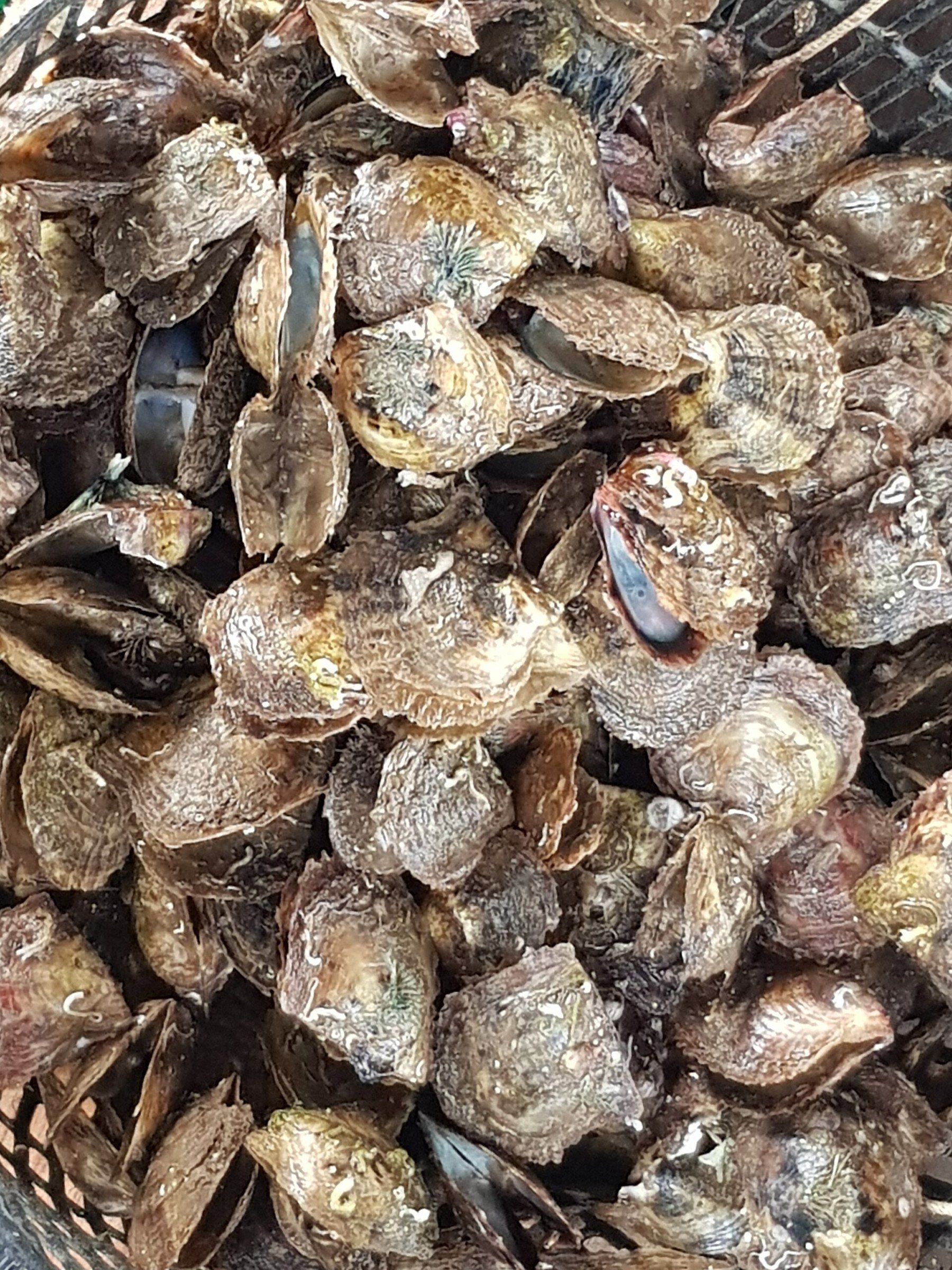
Đảo Ti Tốp Pearl oysters are heaped in a woven basket at a pearl-farming display on Ti Tốp Island. Photo: Andre Hospers, CC BY 4.0 -
Vịnh Hạ Long Hands work on a pearl oyster at a pearl-production stop in Hạ Long Bay.
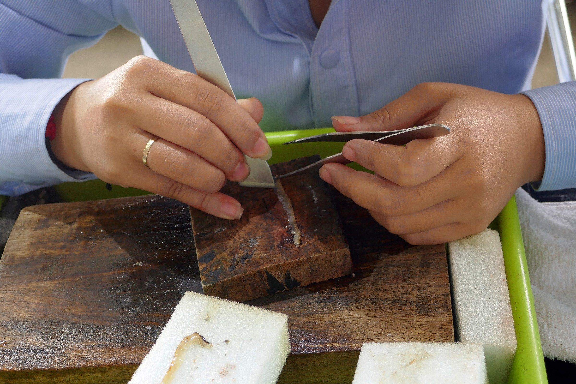
Vịnh Hạ Long Hands work on a pearl oyster at a pearl-production stop in Hạ Long Bay. Photo: Ji-Elle, CC BY-SA 4.0 -
Vịnh Hạ Long Cream and gold pearls lie in an opened oyster shell and loose beside it on a white tray at a pearl-production stop in Hạ Long Bay.
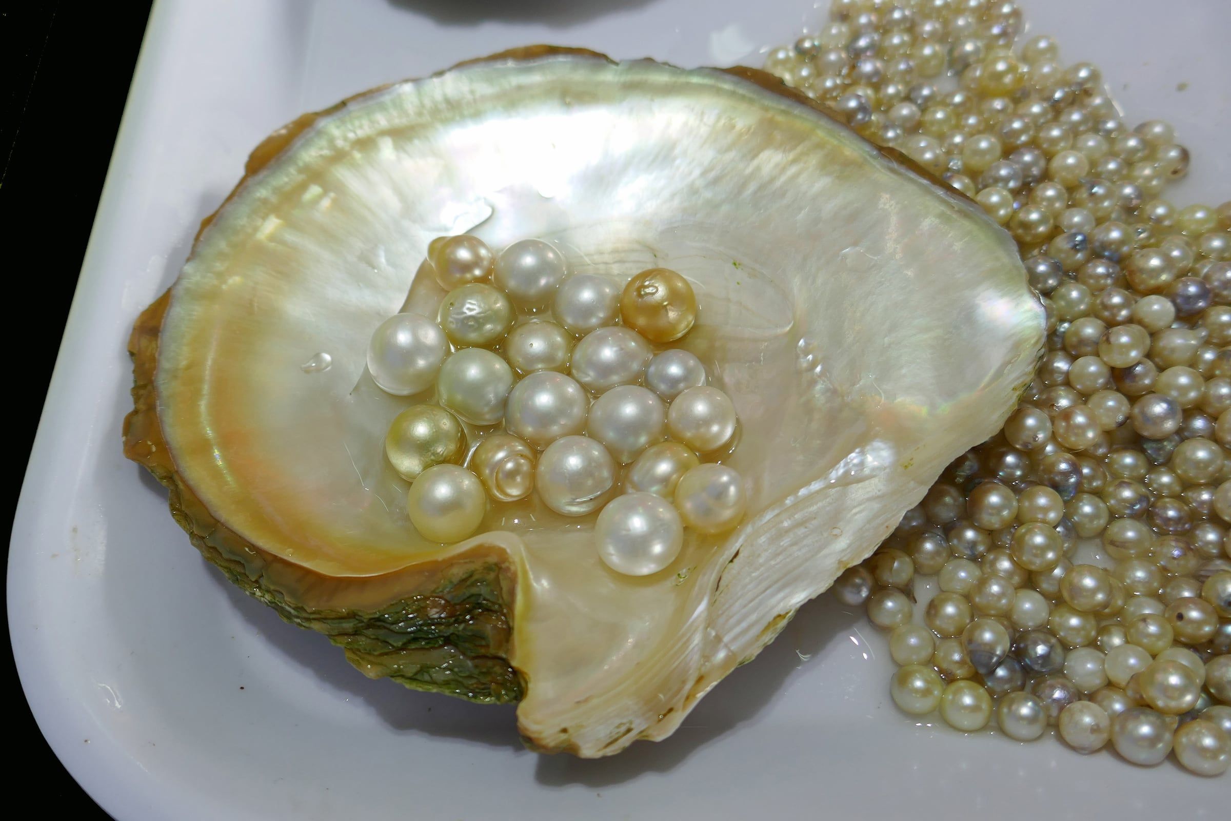
Vịnh Hạ Long Cream and gold pearls lie in an opened oyster shell and loose beside it on a white tray at a pearl-production stop in Hạ Long Bay. Photo: Ji-Elle, CC BY-SA 4.0 -
Vịnh Hạ Long Tall limestone towers rise from calm water in Hạ Long Bay, with a wooden junk in front of them.
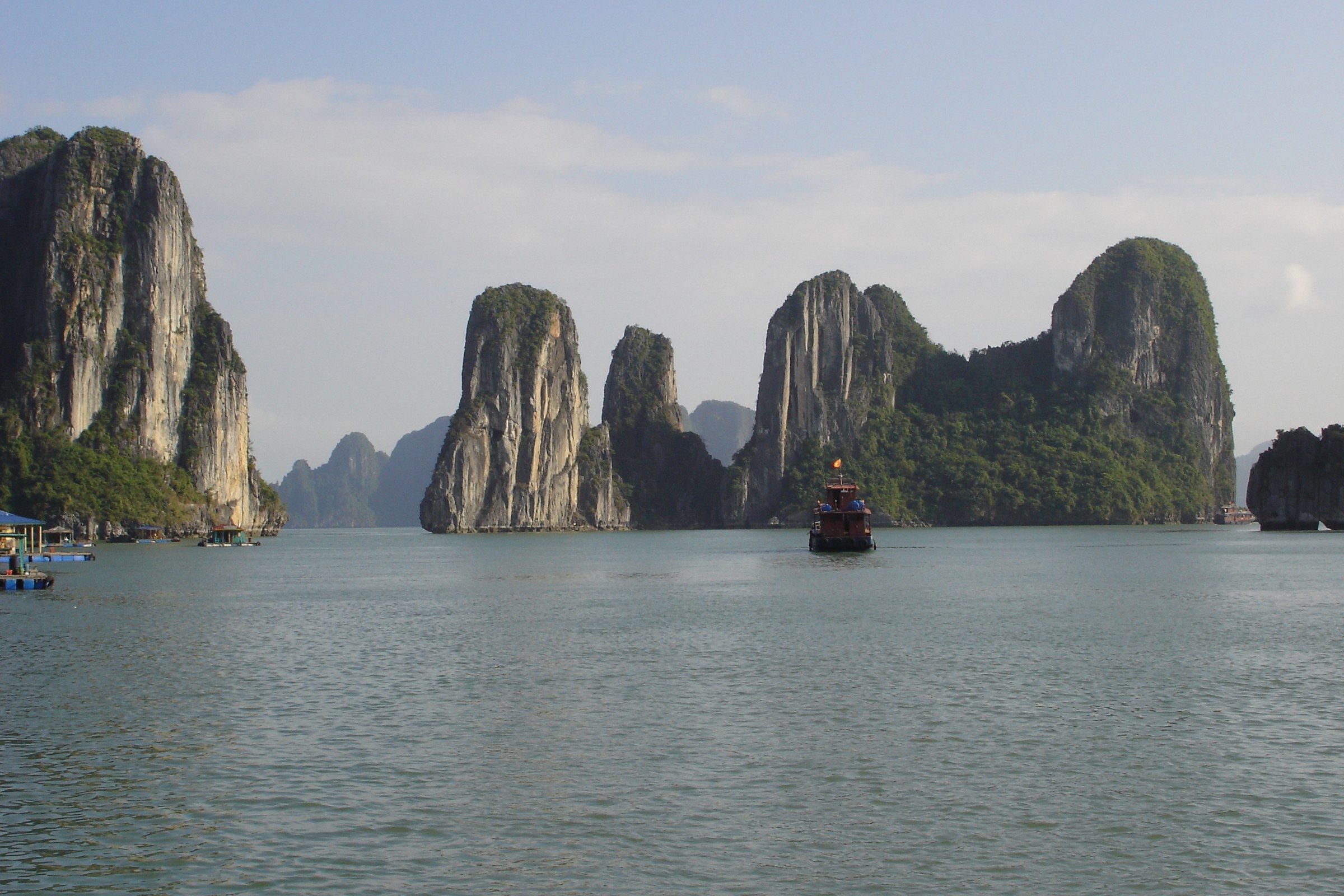
Vịnh Hạ Long Tall limestone towers rise from calm water in Hạ Long Bay, with a wooden junk in front of them. Photo: Ondřej Žváček, CC BY 2.5 -
Vịnh Hạ Long A wooden junk with orange sails on blue-green water, with limestone islets beyond, in Hạ Long Bay.
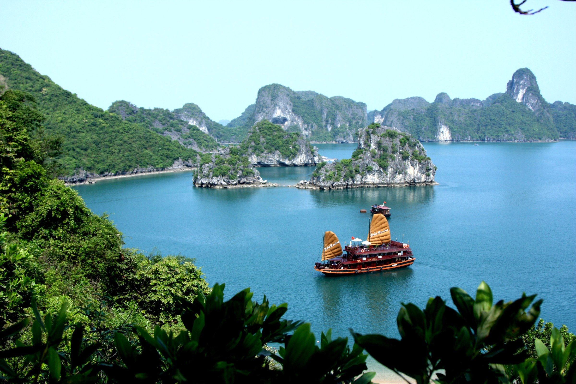
Vịnh Hạ Long A wooden junk with orange sails on blue-green water, with limestone islets beyond, in Hạ Long Bay. Photo: Arianos, Public domain -
Vịnh Hạ Long A wooden junk is silhouetted on still water as the sun sets behind a limestone islet in Hạ Long Bay.

Vịnh Hạ Long A wooden junk is silhouetted on still water as the sun sets behind a limestone islet in Hạ Long Bay. Photo: Andrew Crump from London, UK, CC BY 2.0 -
Vịnh Hạ Long A wooden junk lies still among limestone islets in pale morning mist in Hạ Long Bay.
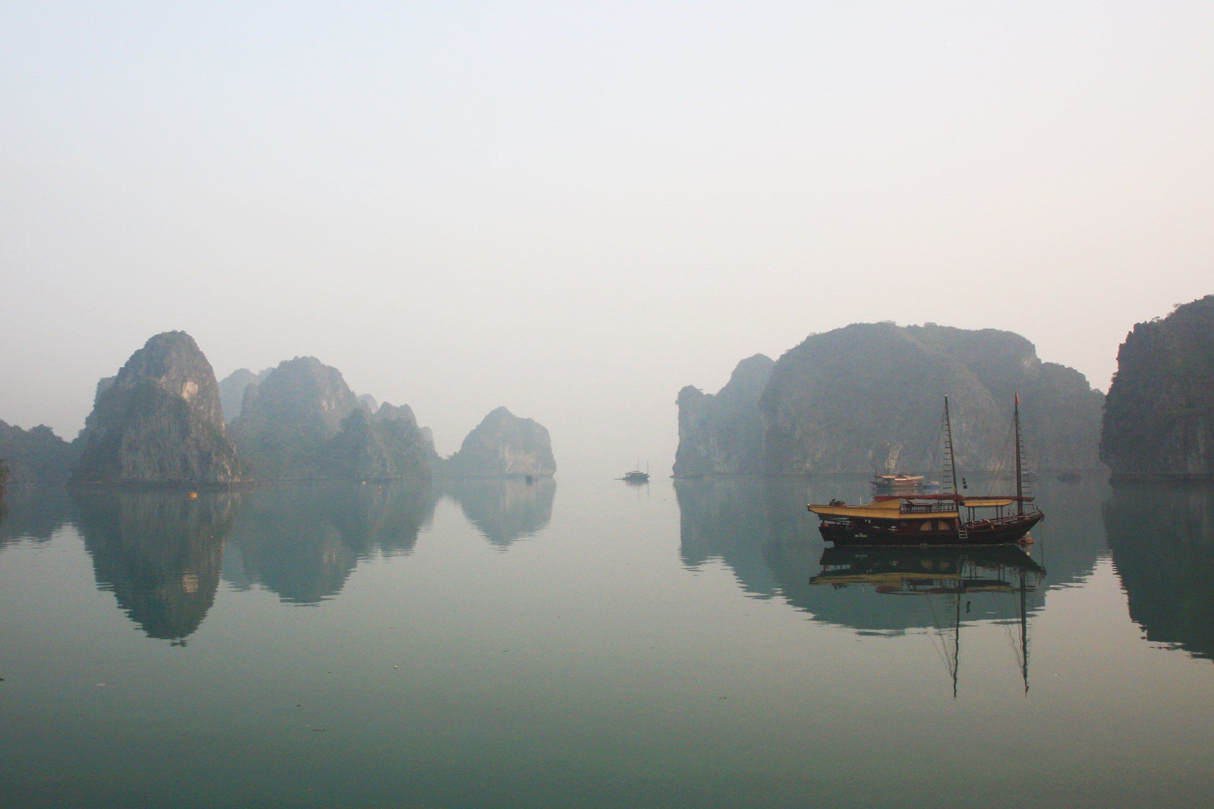
Vịnh Hạ Long A wooden junk lies still among limestone islets in pale morning mist in Hạ Long Bay. Photo: aschaf, CC BY 2.0 -
Vịnh Hạ Long Cruise boats and small craft on emerald water between steep limestone cliffs in Hạ Long Bay.
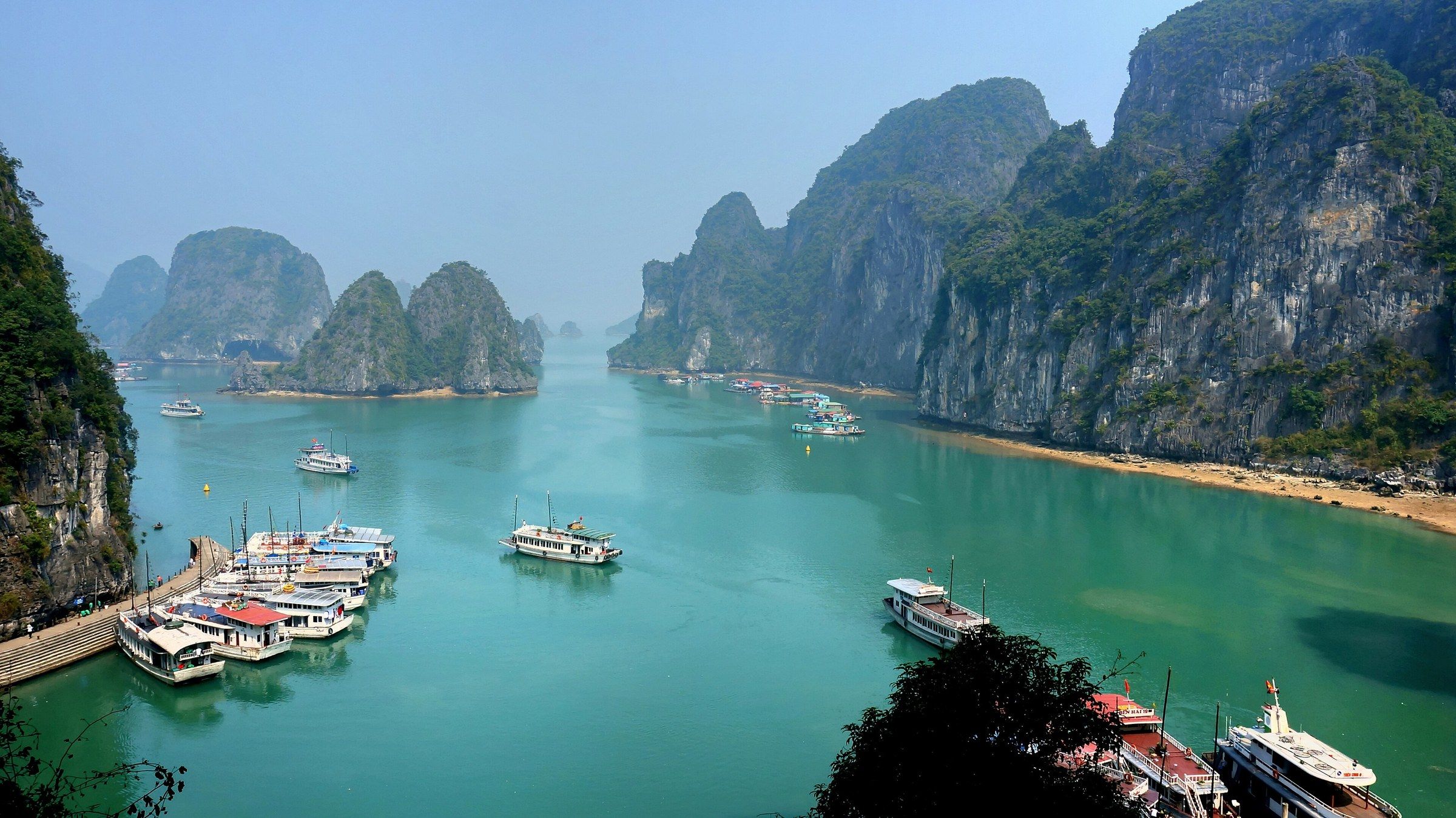
Vịnh Hạ Long Cruise boats and small craft on emerald water between steep limestone cliffs in Hạ Long Bay. Photo: Disdero, CC BY-SA 3.0 -
Vịnh Hạ Long A cruise boat and its tender on teal water beside tree-covered limestone islands in Hạ Long Bay.
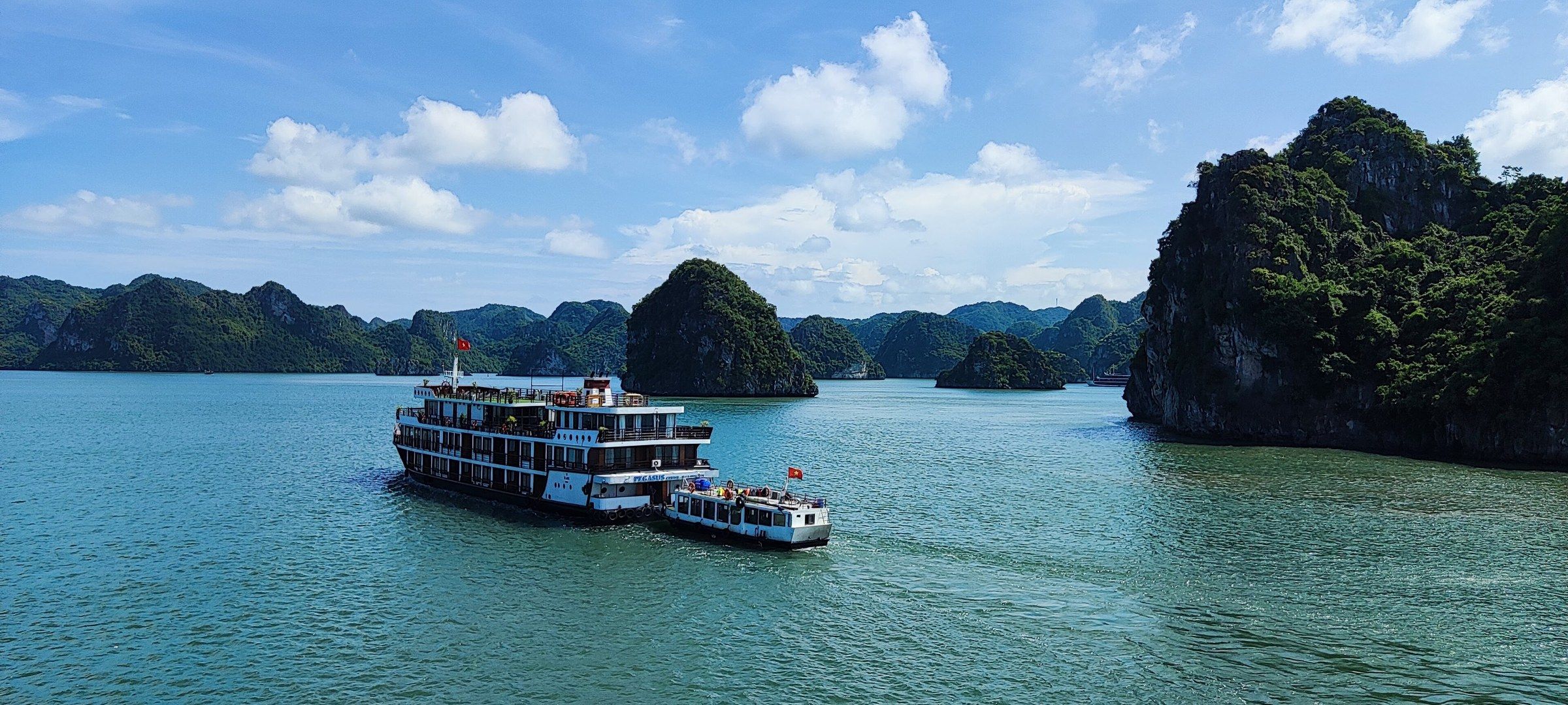
Vịnh Hạ Long A cruise boat and its tender on teal water beside tree-covered limestone islands in Hạ Long Bay. Photo: Shyamal, CC BY-SA 4.0 -
Vịnh Hạ Long A cruise boat lies at anchor in the glare of a hazy low sun, with limestone islands behind, in Hạ Long Bay.
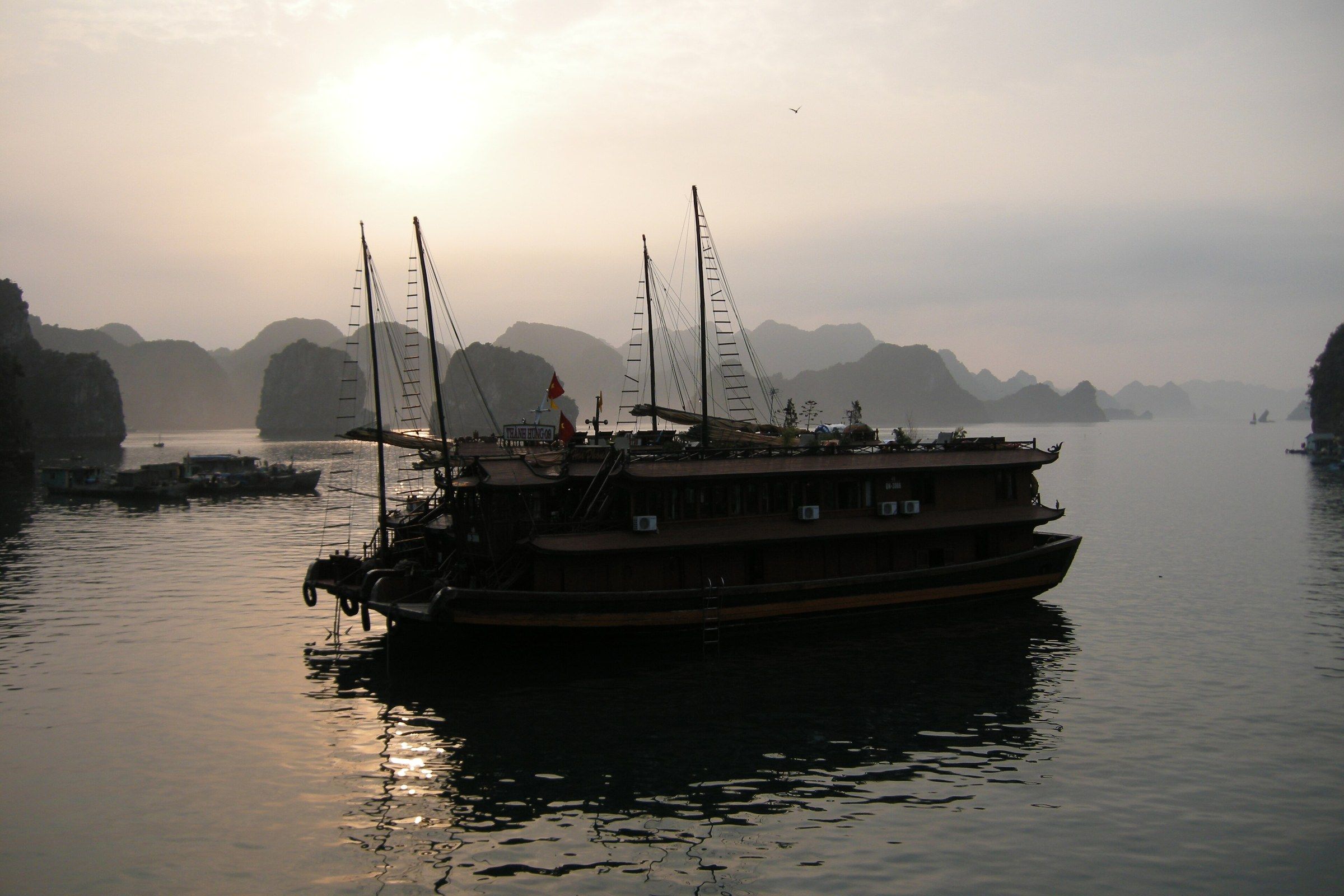
Vịnh Hạ Long A cruise boat lies at anchor in the glare of a hazy low sun, with limestone islands behind, in Hạ Long Bay. Photo: Vyacheslav Argenberg, CC BY 4.0 -
Vịnh Hạ Long The cruise ship SuperStar Virgo lies at anchor in brown water with low limestone hills behind it and a small boat at its stern in Hạ Long Bay.
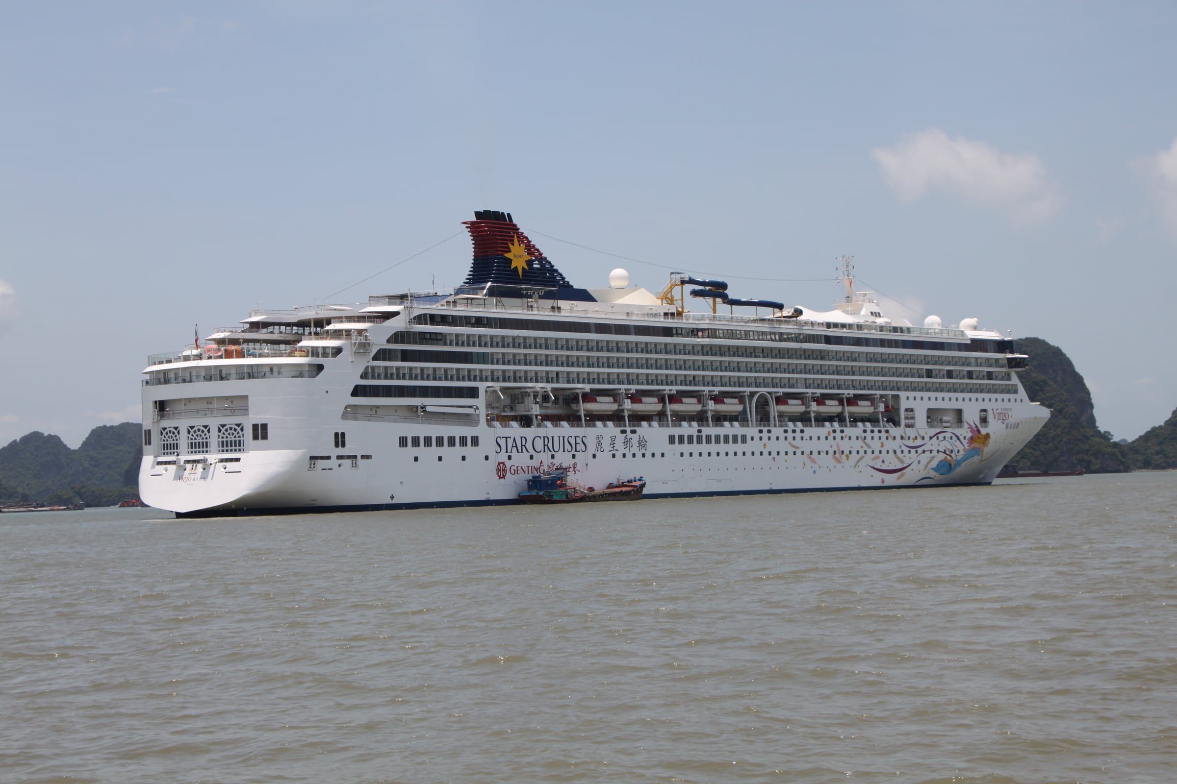
Vịnh Hạ Long The cruise ship SuperStar Virgo lies at anchor in brown water with low limestone hills behind it and a small boat at its stern in Hạ Long Bay. Photo: Yp8080123, CC BY 3.0 -
Vịnh Hạ Long Red tourist boats lie moored at a landing stage below a tall limestone headland in Hạ Long Bay.
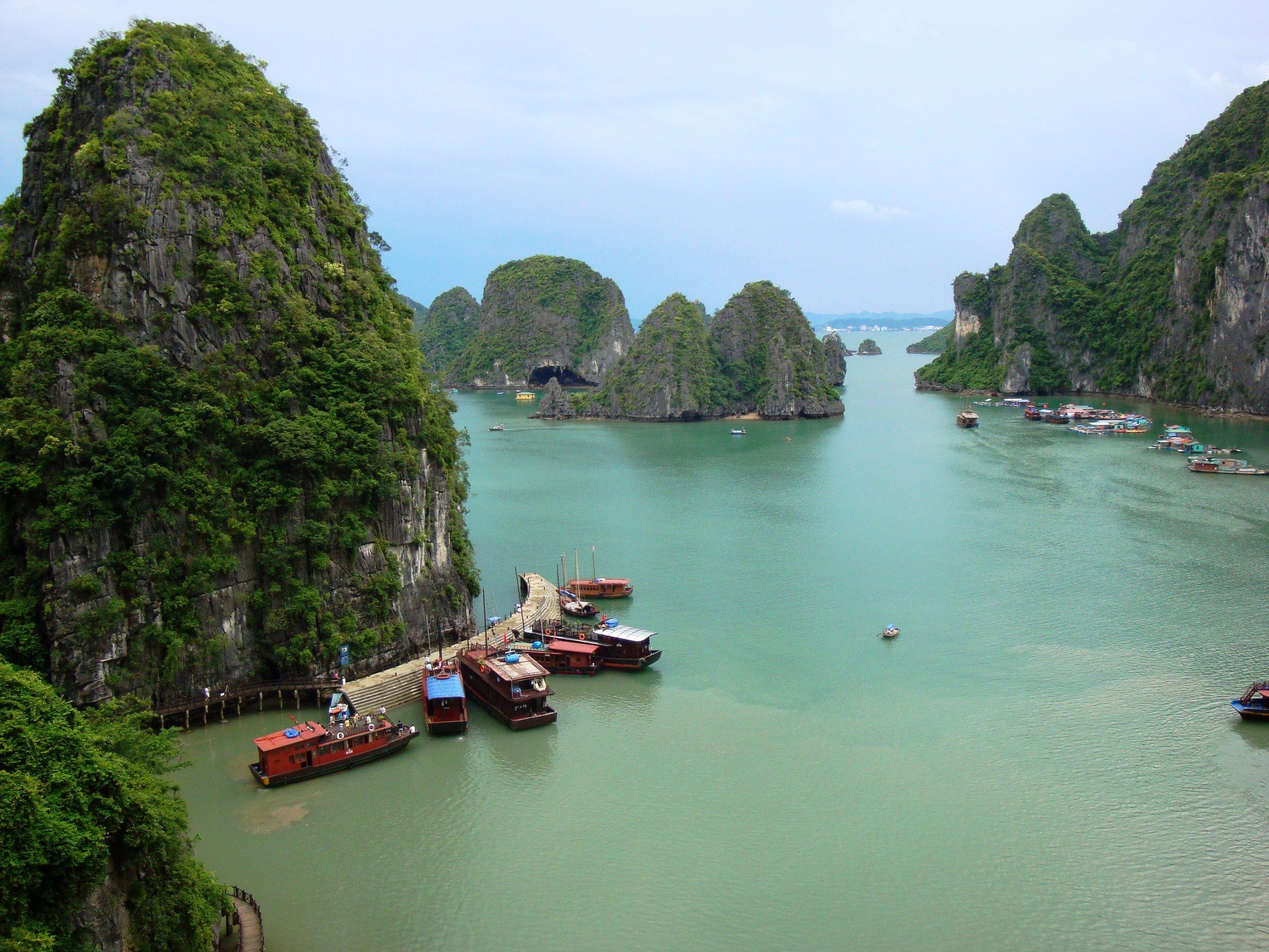
Vịnh Hạ Long Red tourist boats lie moored at a landing stage below a tall limestone headland in Hạ Long Bay. Photo: Francesco Paroni Sterbini, CC BY 3.0 -
Vịnh Hạ Long A small boat lies at anchor in pink haze as the sun sets behind layered limestone ridges in Hạ Long Bay.

Vịnh Hạ Long A small boat lies at anchor in pink haze as the sun sets behind layered limestone ridges in Hạ Long Bay. Photo: Catatine, CC BY-SA 4.0 -
Vịnh Hạ Long Two kayaks cross calm grey water below tall limestone pillars in Hạ Long Bay.
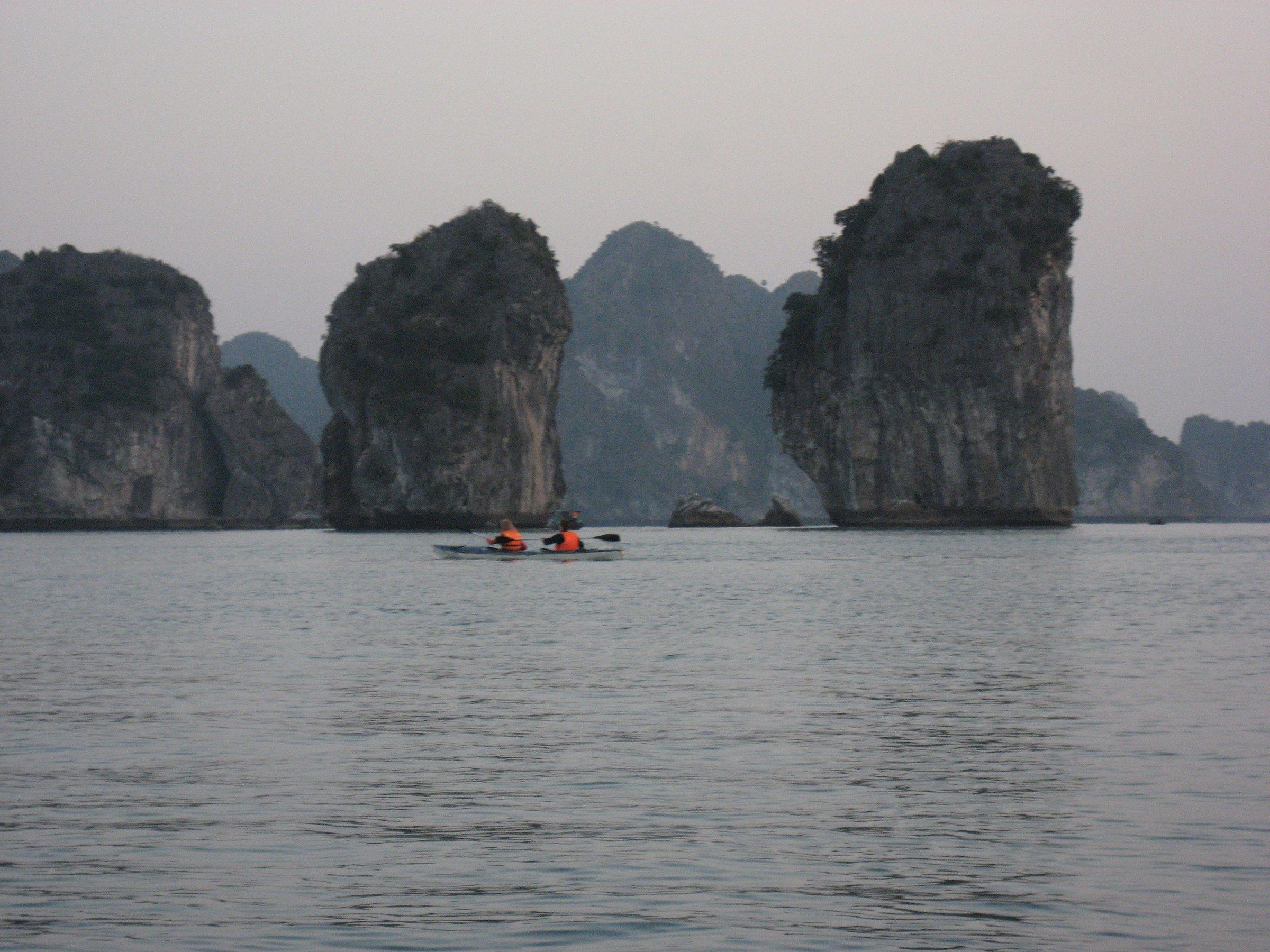
Vịnh Hạ Long Two kayaks cross calm grey water below tall limestone pillars in Hạ Long Bay. Photo: Arian Zwegers, CC BY 2.0 -
Vịnh Hạ Long Floating houses with teal walls, wooden boats and a red flag fill a sheltered cove below hazy limestone hills in Hạ Long Bay in 2003.
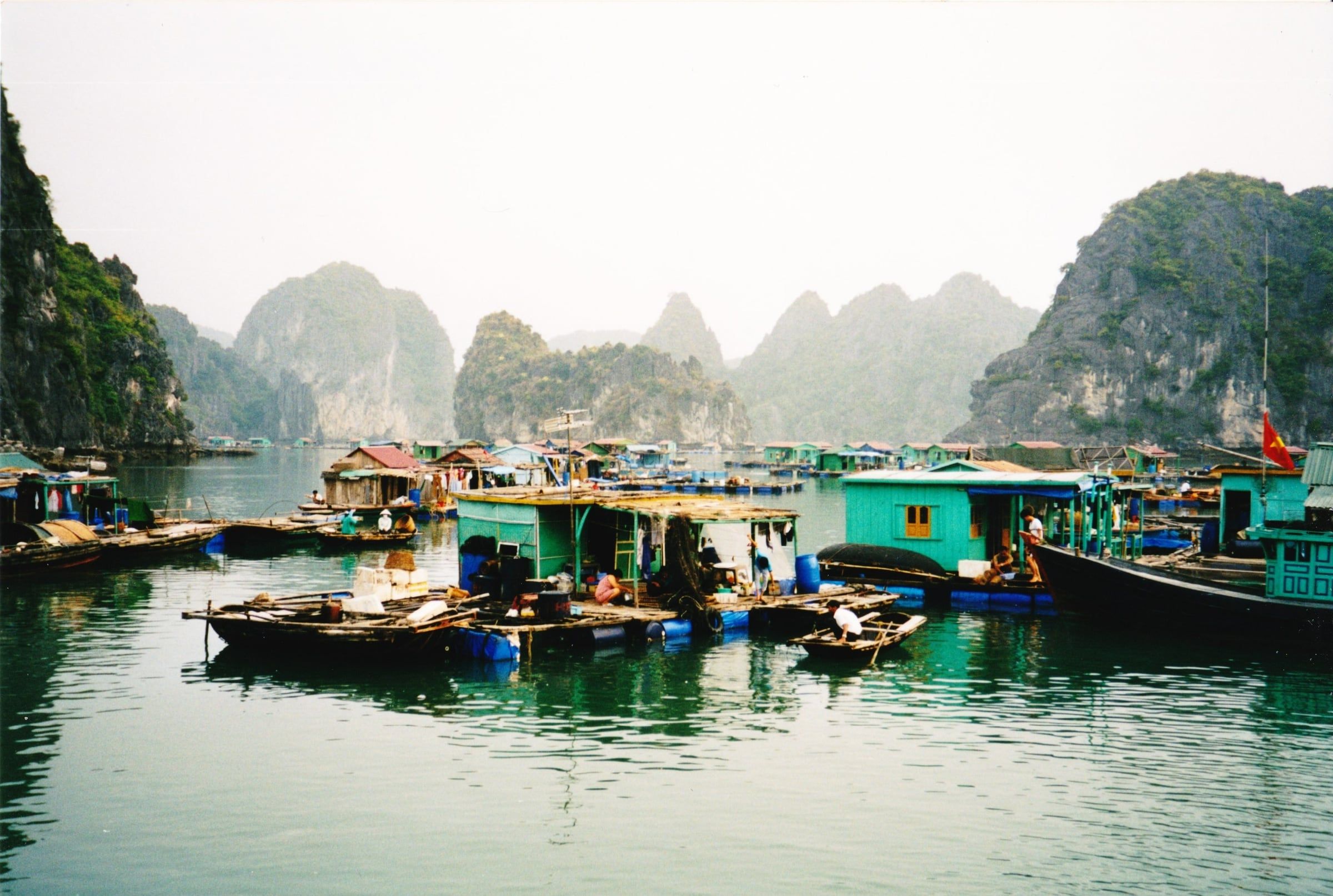
Vịnh Hạ Long Floating houses with teal walls, wooden boats and a red flag fill a sheltered cove below hazy limestone hills in Hạ Long Bay in 2003. Photo: Benoît Prieur, CC0 -
Vịnh Hạ Long A floating house with blue tarpaulin walls and a weathered tin roof stands among yellow wooden boats below hazy limestone cliffs in Hạ Long Bay in 2003.
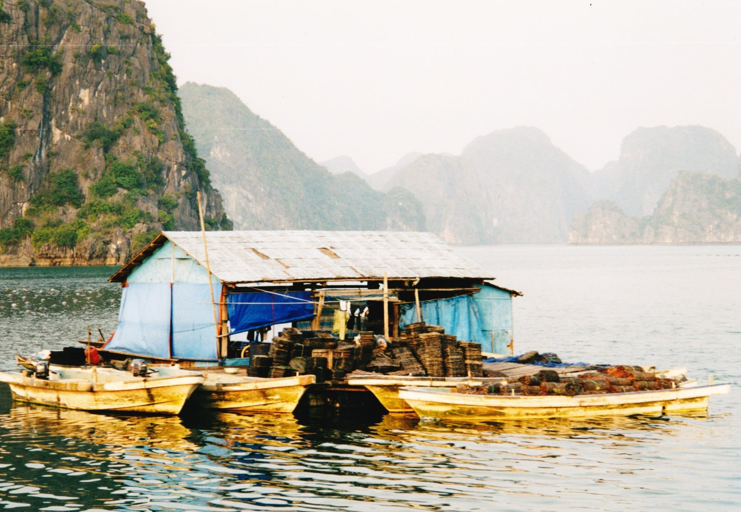
Vịnh Hạ Long A floating house with blue tarpaulin walls and a weathered tin roof stands among yellow wooden boats below hazy limestone cliffs in Hạ Long Bay in 2003. Photo: Benoît Prieur, CC0 -
Vịnh Hạ Long A traditional junk under sail on open, hazy water in Hạ Long Bay, photographed in 1992.
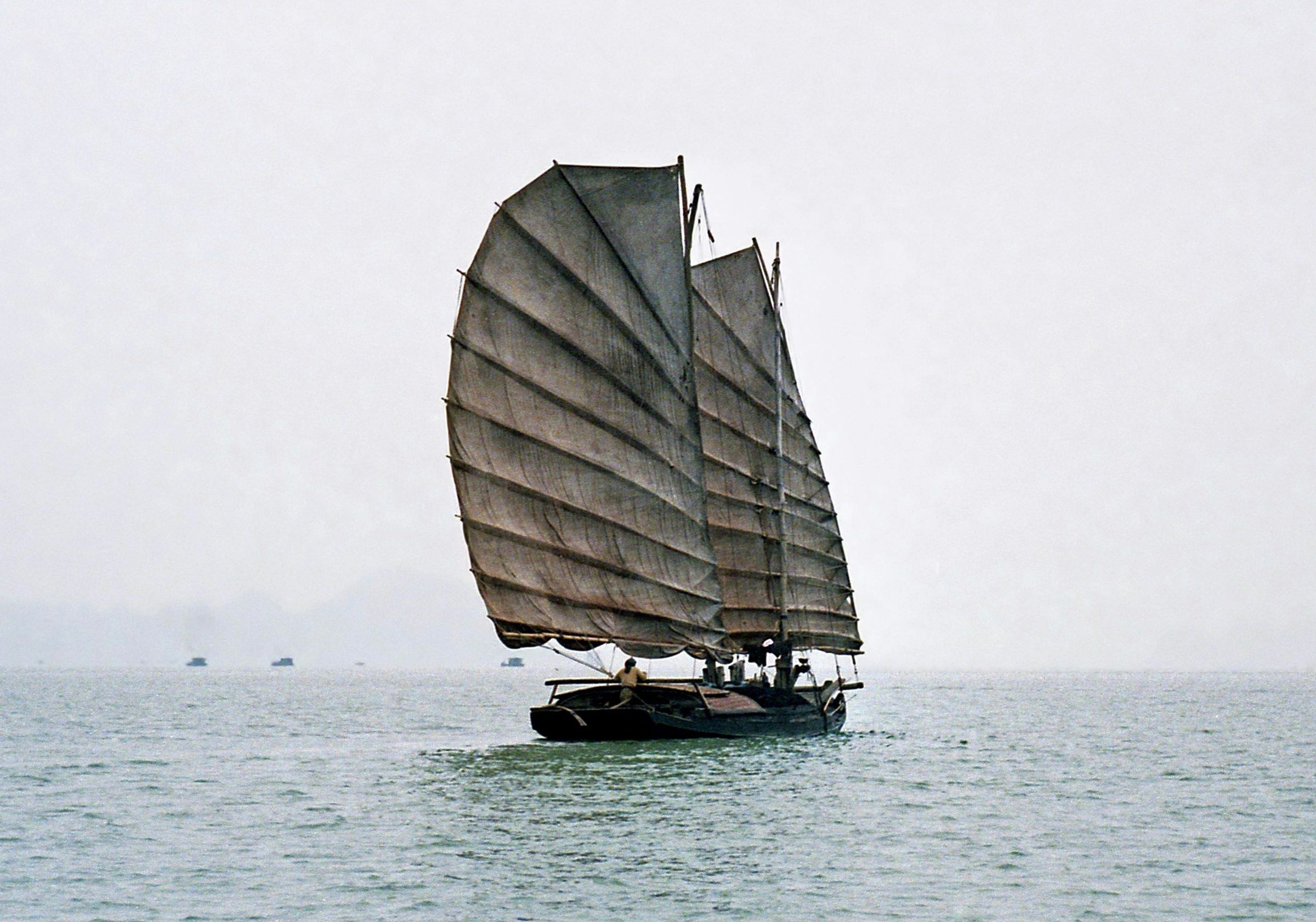
Vịnh Hạ Long A traditional junk under sail on open, hazy water in Hạ Long Bay, photographed in 1992. Photo: Bernard Gagnon, CC BY-SA 3.0 -
Vịnh Hạ Long Junks under sail near rocky islets, photographed by André Salles in 1896.
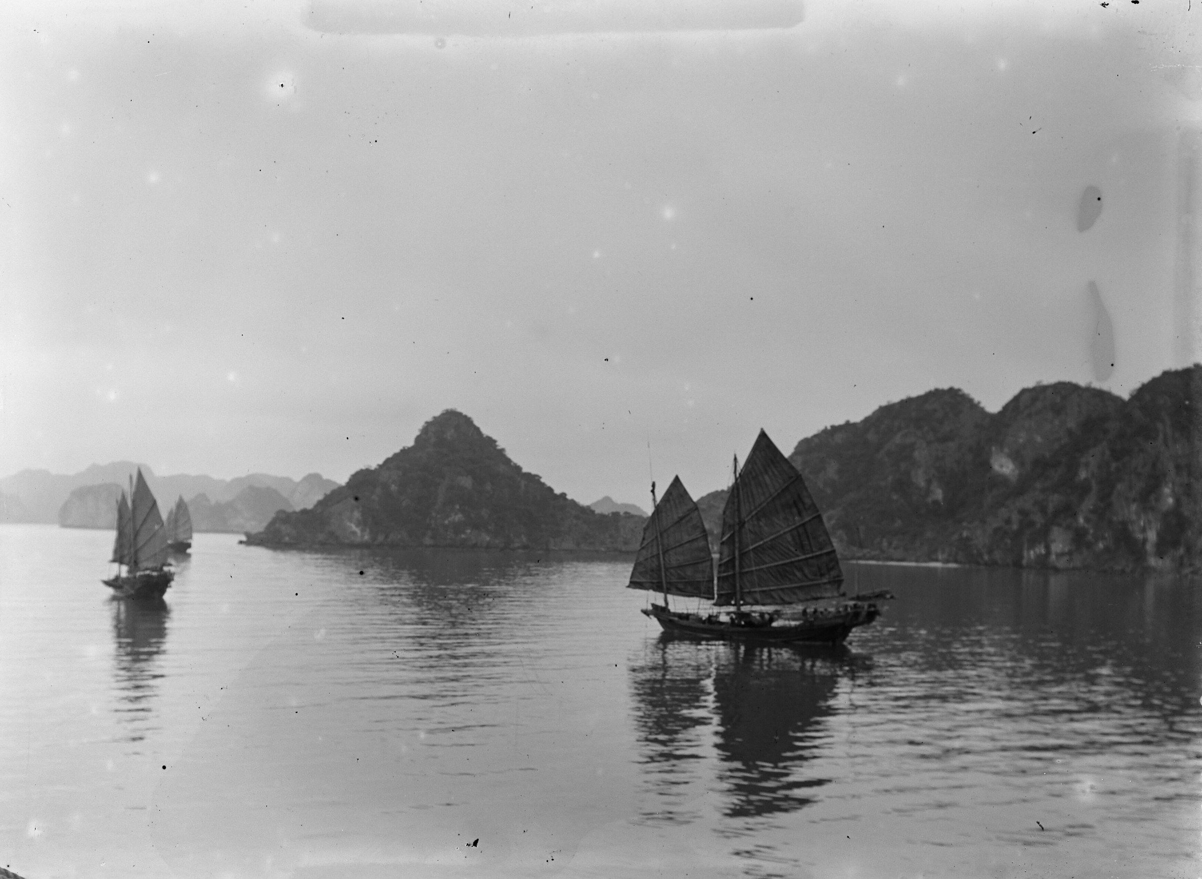
Vịnh Hạ Long Junks under sail near rocky islets, photographed by André Salles in 1896. Photo: Salles, André (1860-1929). Photographe, Public domain -
Vịnh Hạ Long A rowing boat lies on still water below tall limestone cliffs, photographed by André Salles in 1885.
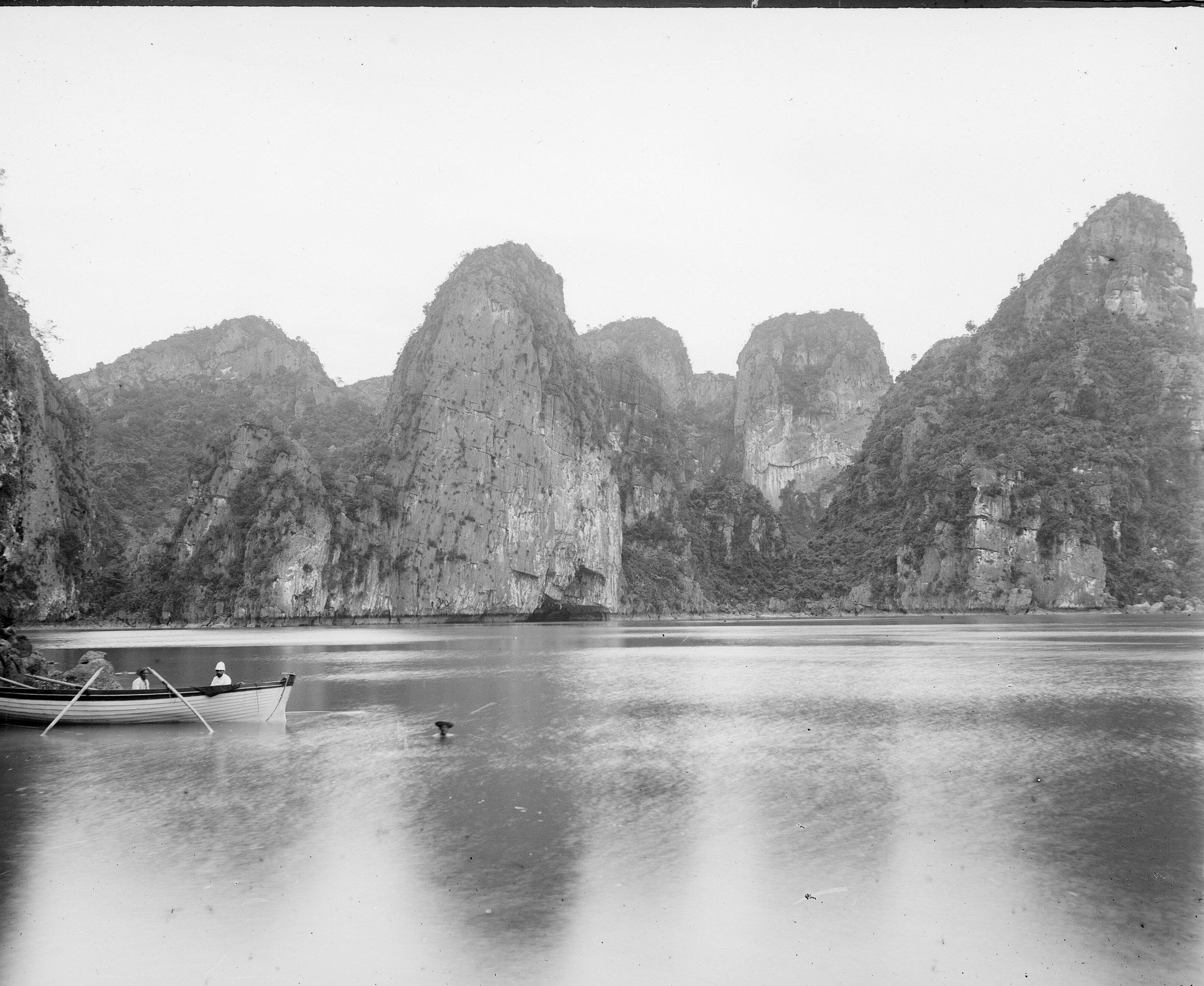
Vịnh Hạ Long A rowing boat lies on still water below tall limestone cliffs, photographed by André Salles in 1885. Photo: Salles, André (1860-1929). Photographe, Public domain
These 32 photographs show the floating houses, a woven boat, seafood sold from boats and the pearl farms, then the junks, cruise boats, an ocean liner and kayaks on the water, ending with archive views from 1885 to 2003. In 2014 the province moved the bay’s floating-village households ashore; the Board counts 354 households, nearly 2,000 people. The villages seen today are raft houses kept by the Board, fish-farm rafts and the staff of the rowing and kayak concessions, and the photographs taken before 2014 show them when families still lived on the water.
The bay’s pearl farms are at Tùng Sâu and Vung Viêng, where growers explain the oysters, cages, grafting and harvest; the Board says only about 30% of grafted oysters yield a pearl. About 500 boats are registered on the bay. What remains of the villages, and how visits work, is on the floating villages page.
Ha Long city and the coast
-
Hạ Long An aerial view of Hạ Long city beside the bay, with boats on the water and limestone islands in the distance, September 2019.
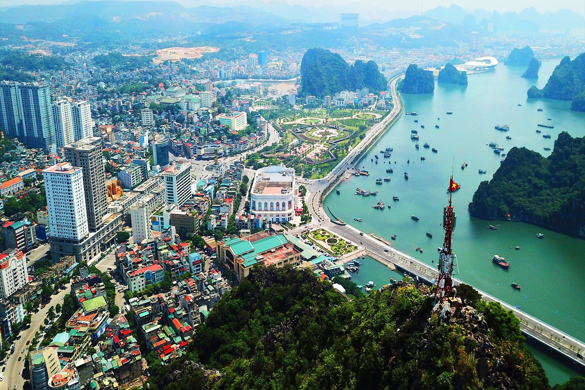
Hạ Long An aerial view of Hạ Long city beside the bay, with boats on the water and limestone islands in the distance, September 2019. Photo: Dratharr, CC BY-SA 4.0 -
Sun World Hạ Long, Bãi Cháy Hạ Long city and its shoreline seen from Sun World Hạ Long Park in January 2024.
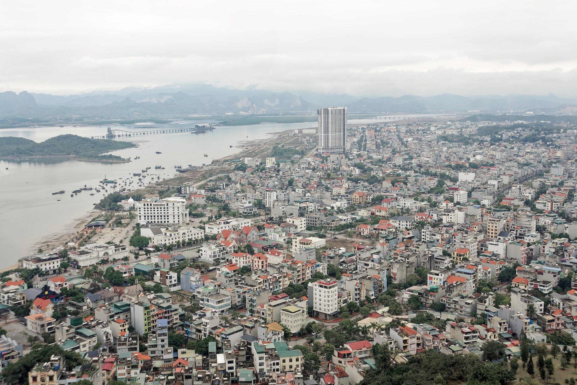
Sun World Hạ Long, Bãi Cháy Hạ Long city and its shoreline seen from Sun World Hạ Long Park in January 2024. Photo: Jakub Hałun, CC BY 4.0 -
Sun World Hạ Long, Bãi Cháy A red cabin of the Queen Cable Car above the Sun World Hạ Long complex in Bãi Cháy.
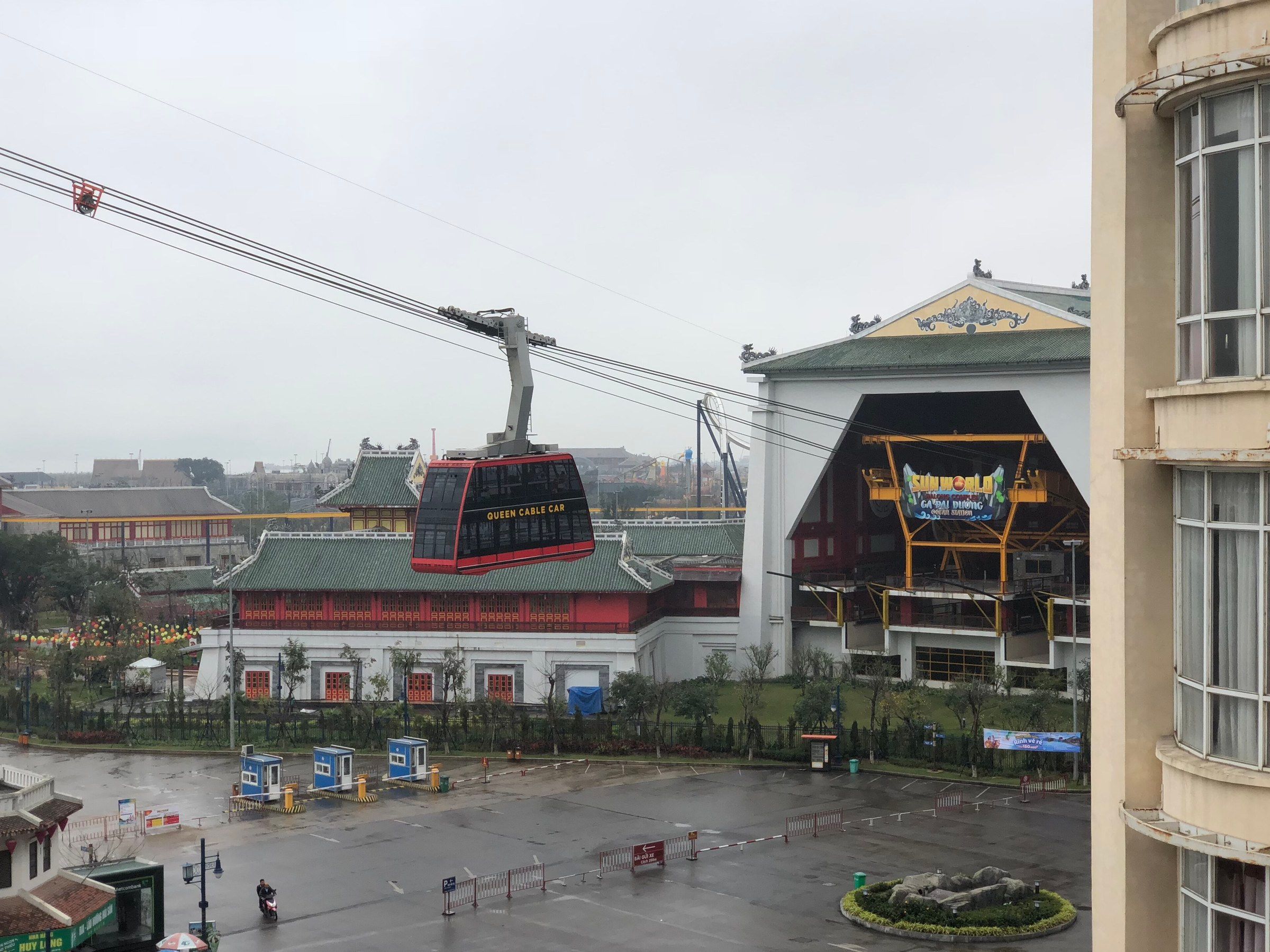
Sun World Hạ Long, Bãi Cháy A red cabin of the Queen Cable Car above the Sun World Hạ Long complex in Bãi Cháy. Photo: Newone, CC BY-SA 4.0 -
Bãi tắm Bãi Cháy Palm trees on the pale sand of Bãi Cháy beach on an overcast morning in January 2024.
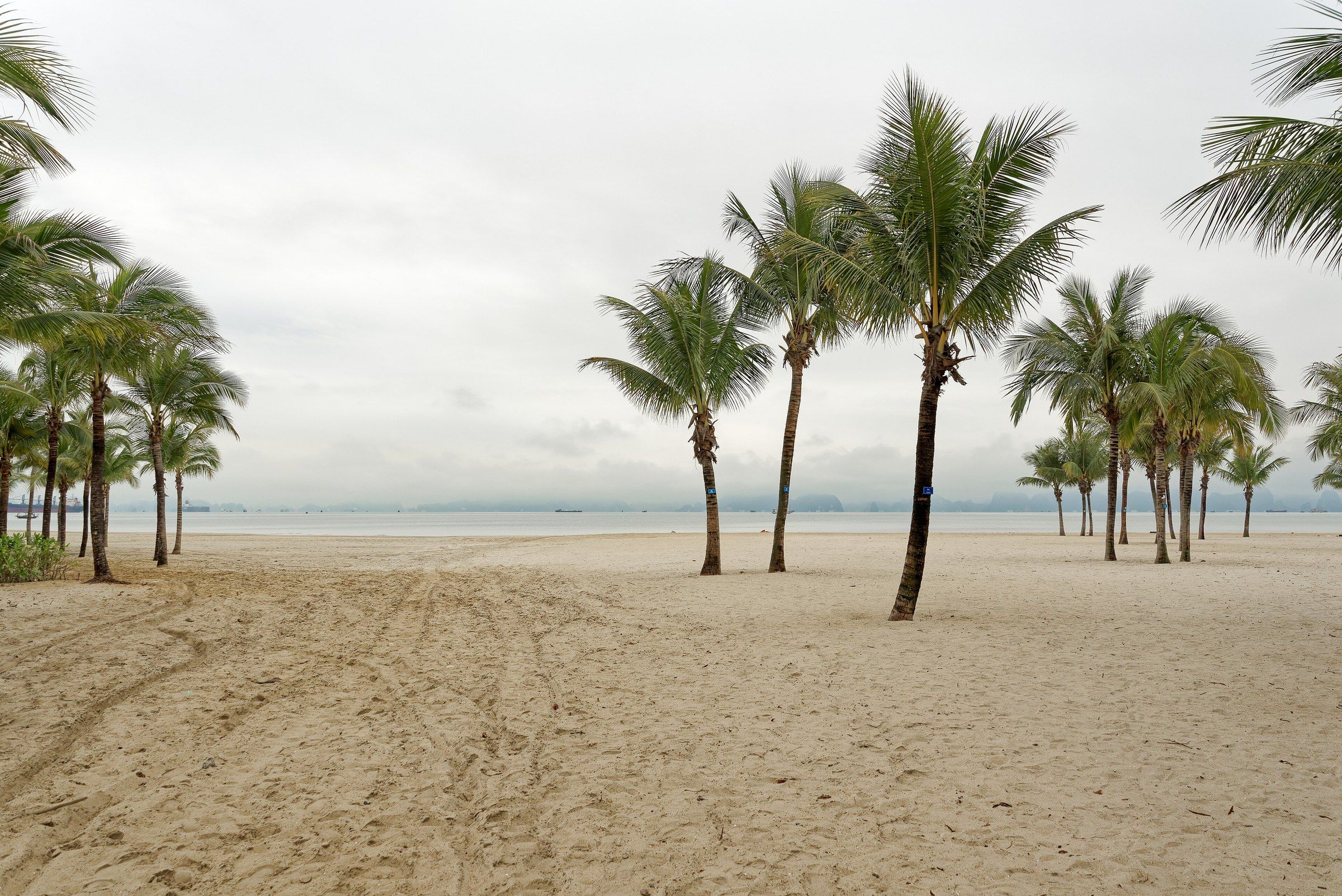
Bãi tắm Bãi Cháy Palm trees on the pale sand of Bãi Cháy beach on an overcast morning in January 2024. Photo: Jakub Hałun, CC BY 4.0 -
Cầu Bãi Cháy, Hạ Long Traffic on the deck of the Bãi Cháy Bridge, with the cable stays rising beside the road.
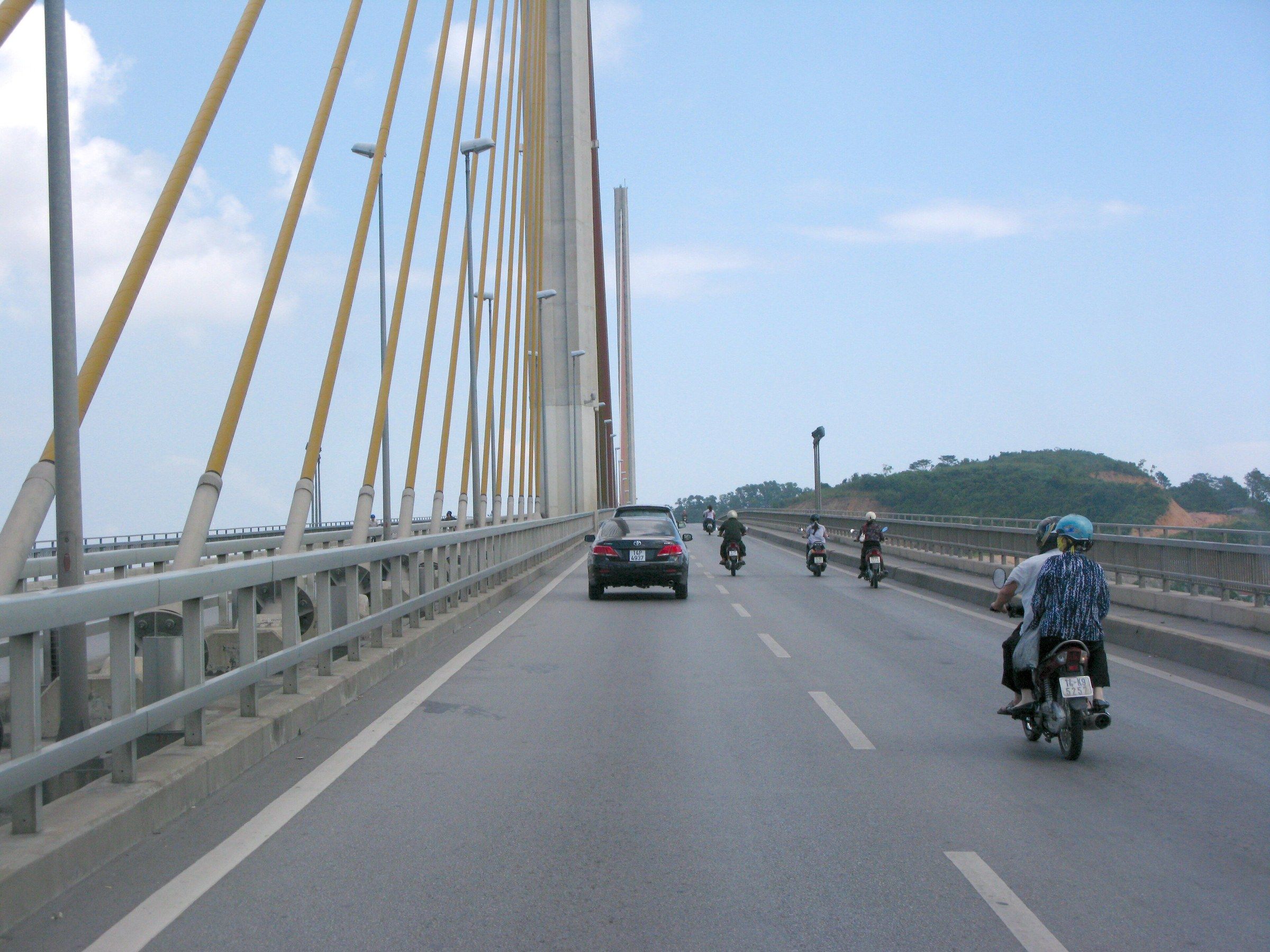
Cầu Bãi Cháy, Hạ Long Traffic on the deck of the Bãi Cháy Bridge, with the cable stays rising beside the road. Photo: Phó Nháy, Public domain -
Cầu Bãi Cháy, Hạ Long The cable-stayed Bãi Cháy Bridge lit up at night in Hạ Long city.
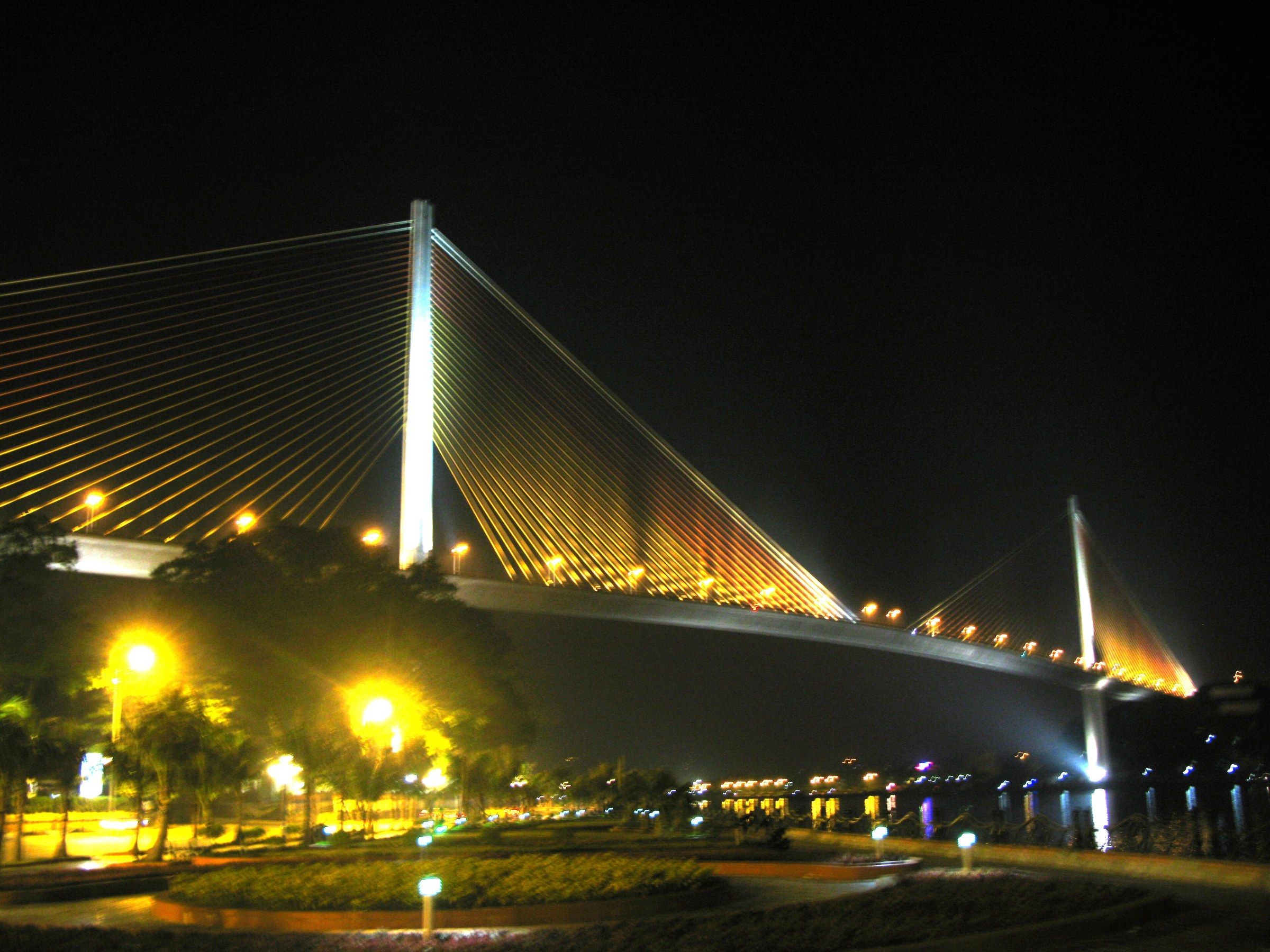
Cầu Bãi Cháy, Hạ Long The cable-stayed Bãi Cháy Bridge lit up at night in Hạ Long city. Photo: Phó Nháy, Public domain -
Nhà thờ Hòn Gai The rear of the Hòn Gai Catholic Church, floodlit at night in December 2021.
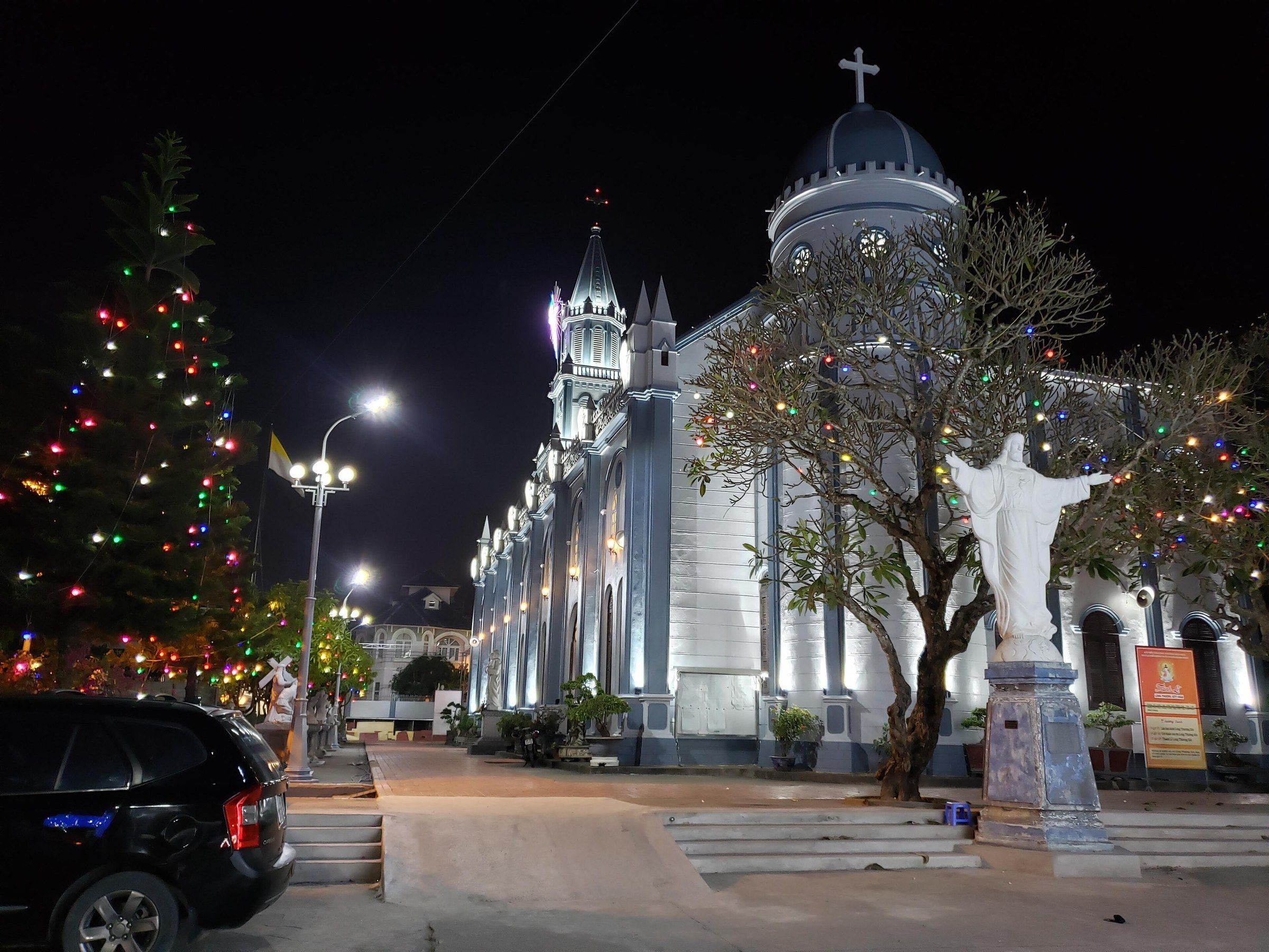
Nhà thờ Hòn Gai The rear of the Hòn Gai Catholic Church, floodlit at night in December 2021. Photo: Pdhadam, CC BY-SA 4.0 -
Bảo tàng Quảng Ninh The black glass facade of the Quảng Ninh Museum in Hạ Long, with its name in large letters and a block of anthracite coal in the forecourt.
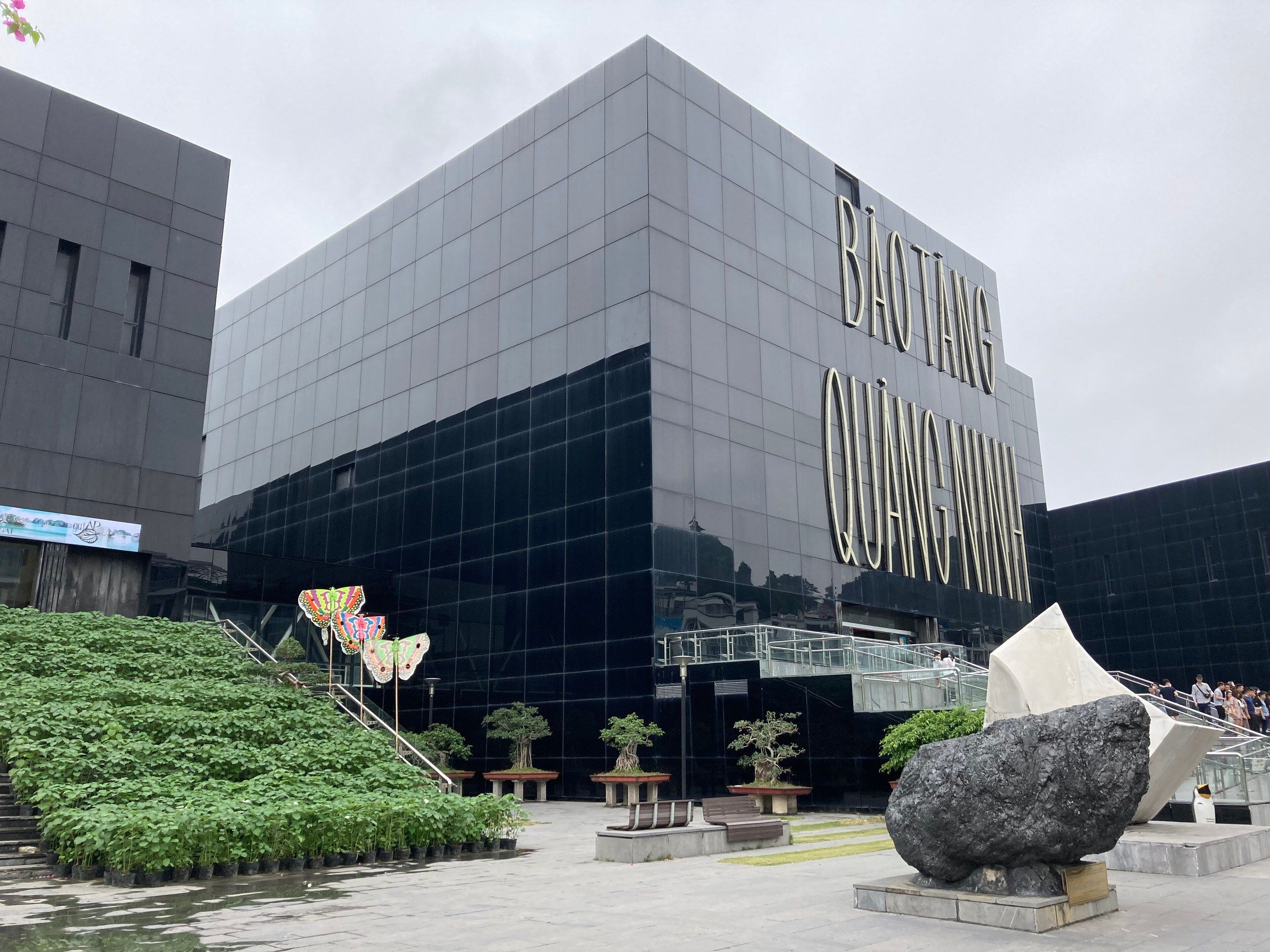
Bảo tàng Quảng Ninh The black glass facade of the Quảng Ninh Museum in Hạ Long, with its name in large letters and a block of anthracite coal in the forecourt. Photo: Hoangkid, CC BY-SA 4.0 -
Bảo tàng Quảng Ninh A fin whale skeleton and a model of a bat-wing sailing boat in the entrance hall of the Quảng Ninh Museum.
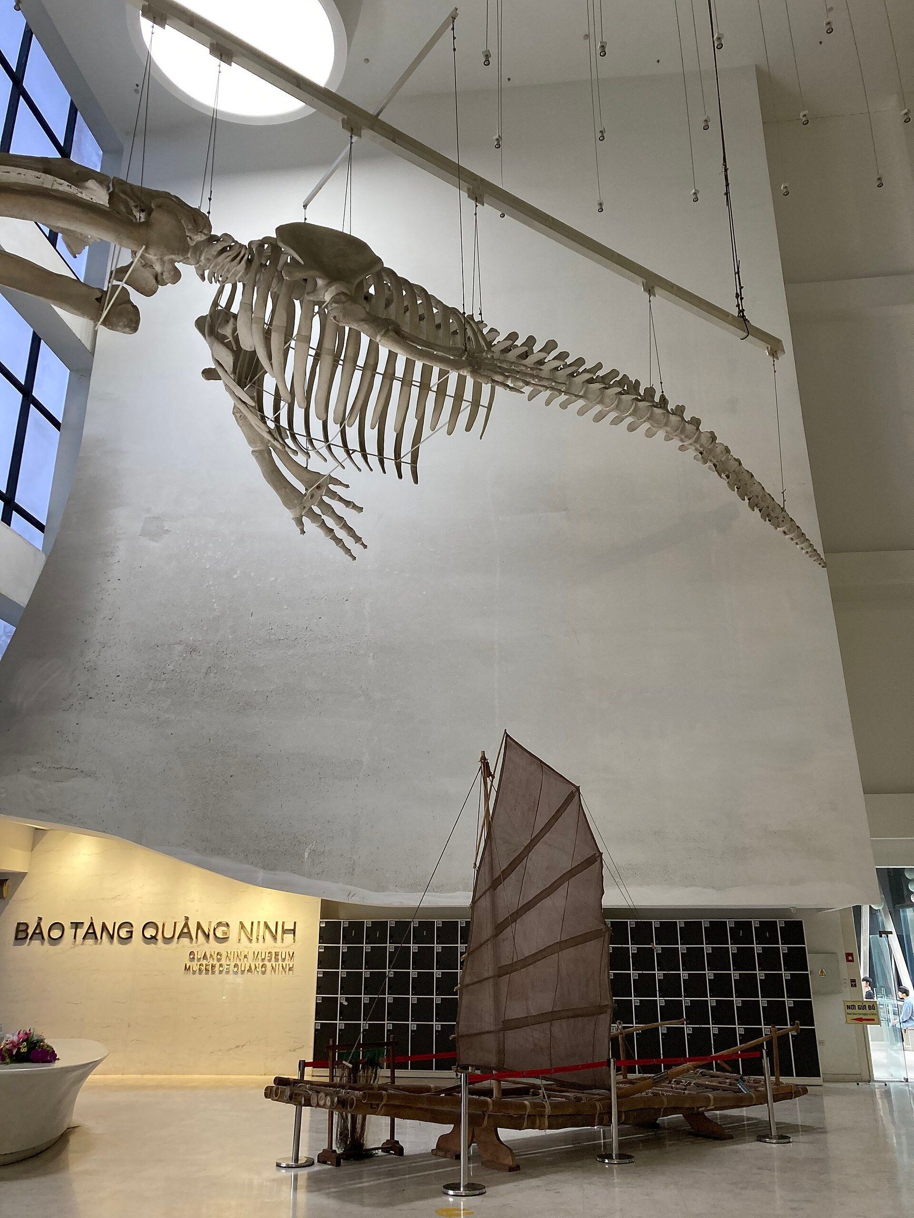
Bảo tàng Quảng Ninh A fin whale skeleton and a model of a bat-wing sailing boat in the entrance hall of the Quảng Ninh Museum. Photo: Hoangkid, CC BY-SA 4.0 -
Đảo Tuần Châu Wooden tour boats with strings of bunting lie moored bow to stern along a quay lined with palm trees on Tuần Châu Island.
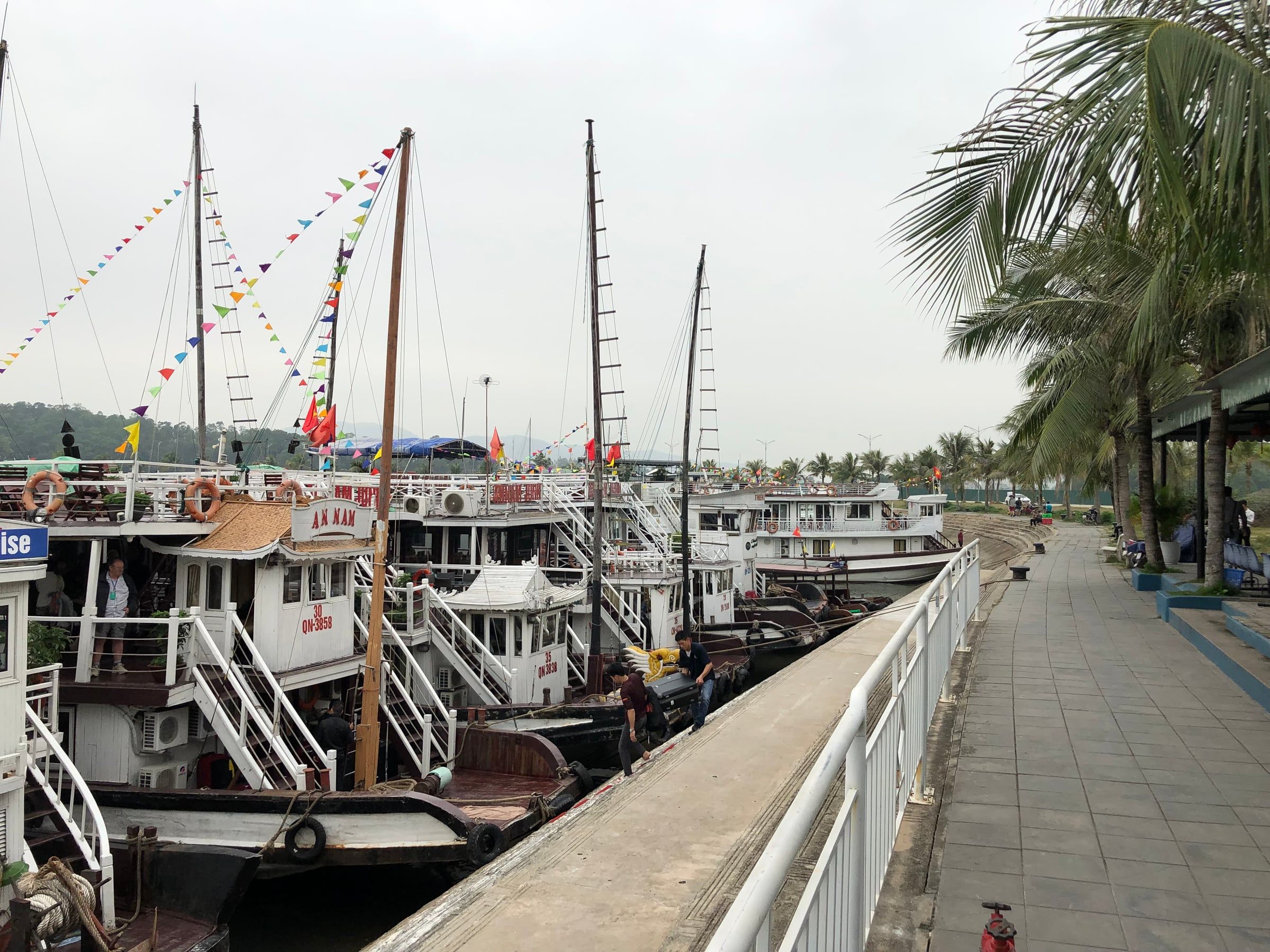
Đảo Tuần Châu Wooden tour boats with strings of bunting lie moored bow to stern along a quay lined with palm trees on Tuần Châu Island. Photo: Turgidson, CC BY-SA 4.0 -
Đảo Tuần Châu A still canal edged by a stone wall and white railings reflects coconut palms and an arched footbridge on Tuần Châu Island.
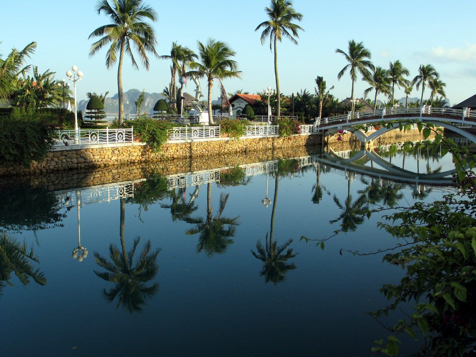
Đảo Tuần Châu A still canal edged by a stone wall and white railings reflects coconut palms and an arched footbridge on Tuần Châu Island. Photo: Takeshi aka. Momotaro from Tokyo, Japan, CC BY 2.0 -
Bến thủy phi cơ Hạ Long A white Cessna Caravan seaplane marked VN-B469 stands on the terminal apron while passengers step down from its door at Hạ Long.
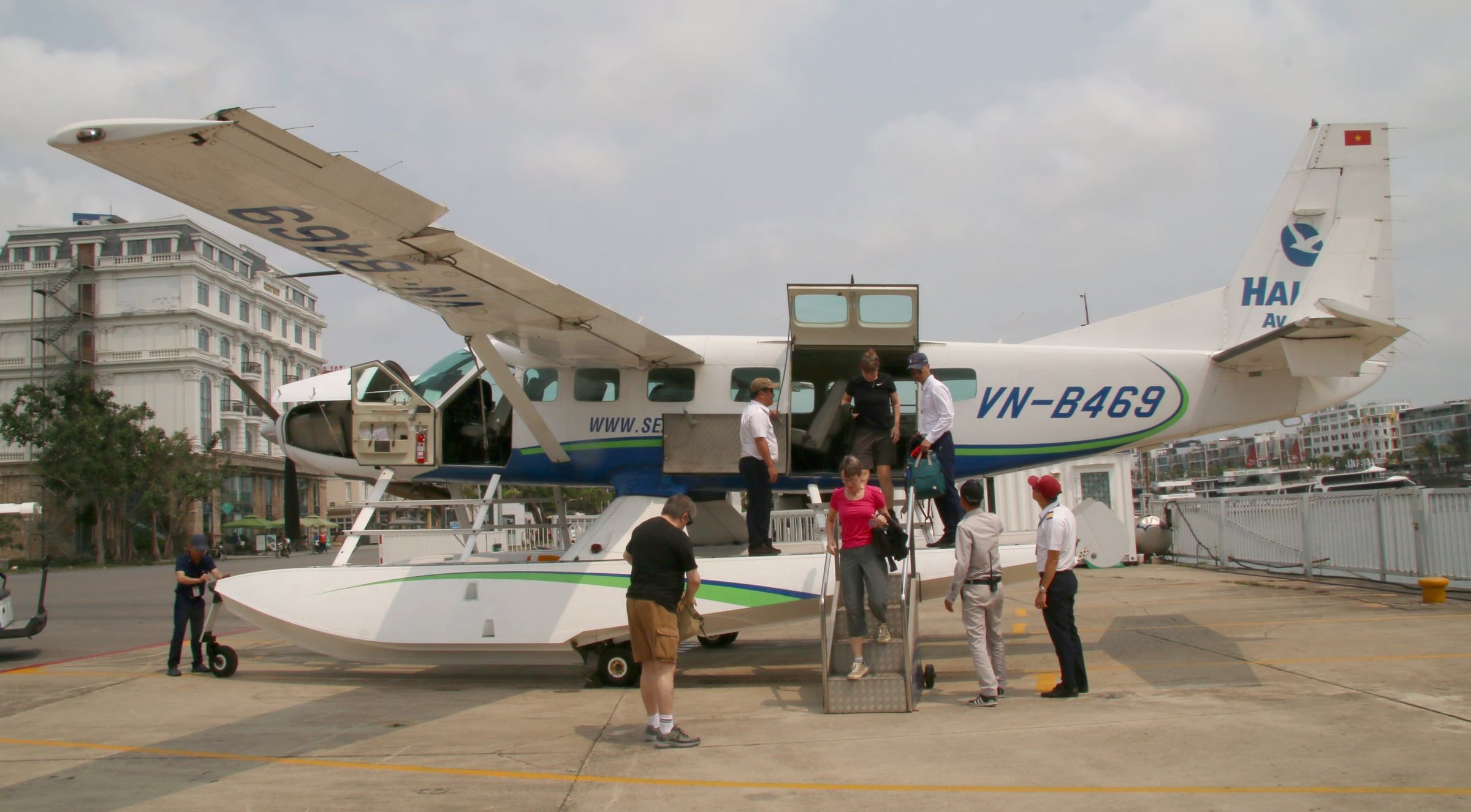
Bến thủy phi cơ Hạ Long A white Cessna Caravan seaplane marked VN-B469 stands on the terminal apron while passengers step down from its door at Hạ Long. Photo: kitmasterbloke, CC BY 2.0 -
Hạ Long Three ocean cruise ships, including AIDAvita and Seabourn Ovation, lie alongside a pier under a grey sky at Hạ Long in March 2019.
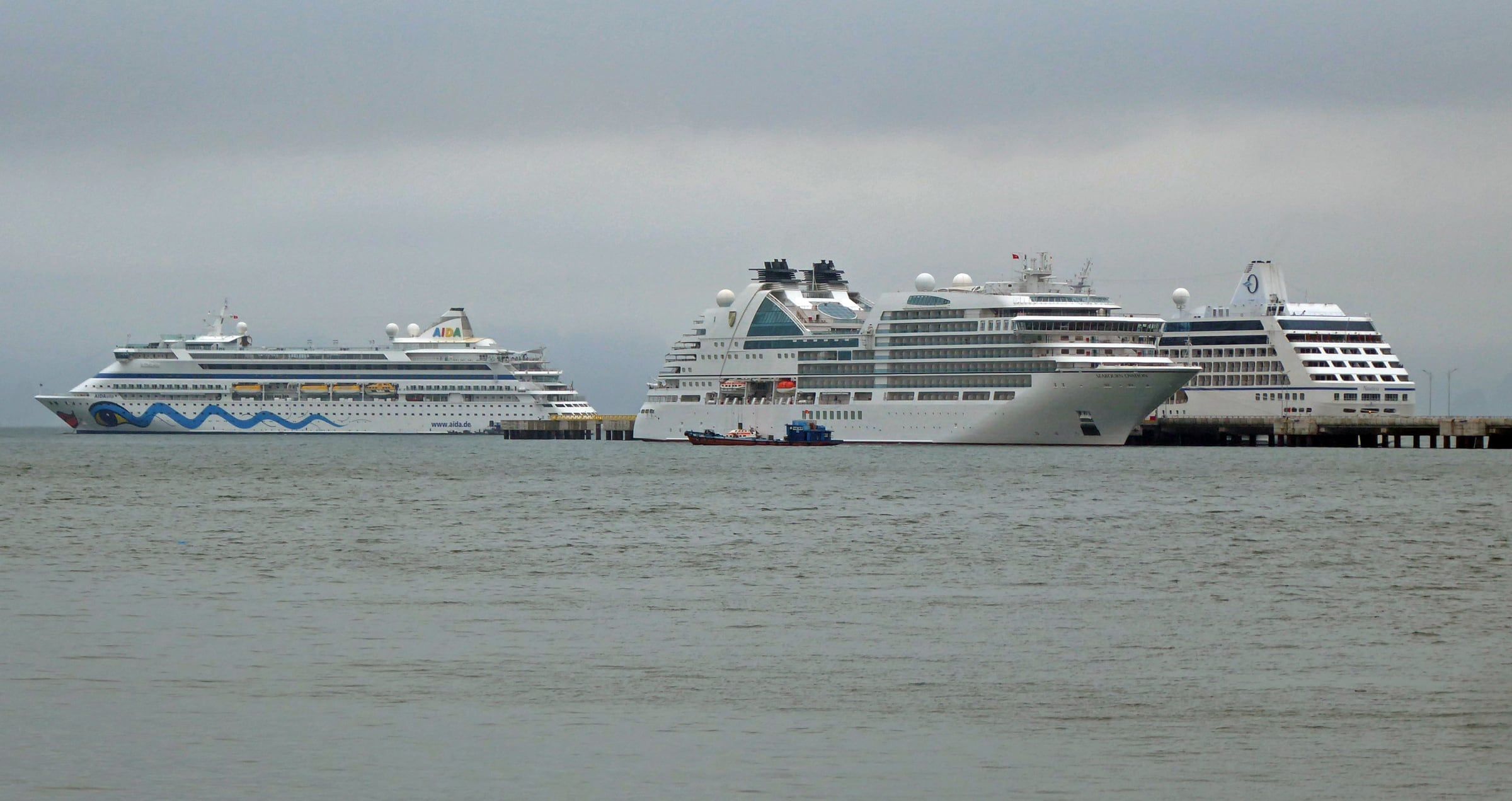
Hạ Long Three ocean cruise ships, including AIDAvita and Seabourn Ovation, lie alongside a pier under a grey sky at Hạ Long in March 2019. Photo: Wolfgang Fricke, CC BY 3.0 -
Hạ Long Chả mực, a Hạ Long dish of ground squid formed into patties and fried.
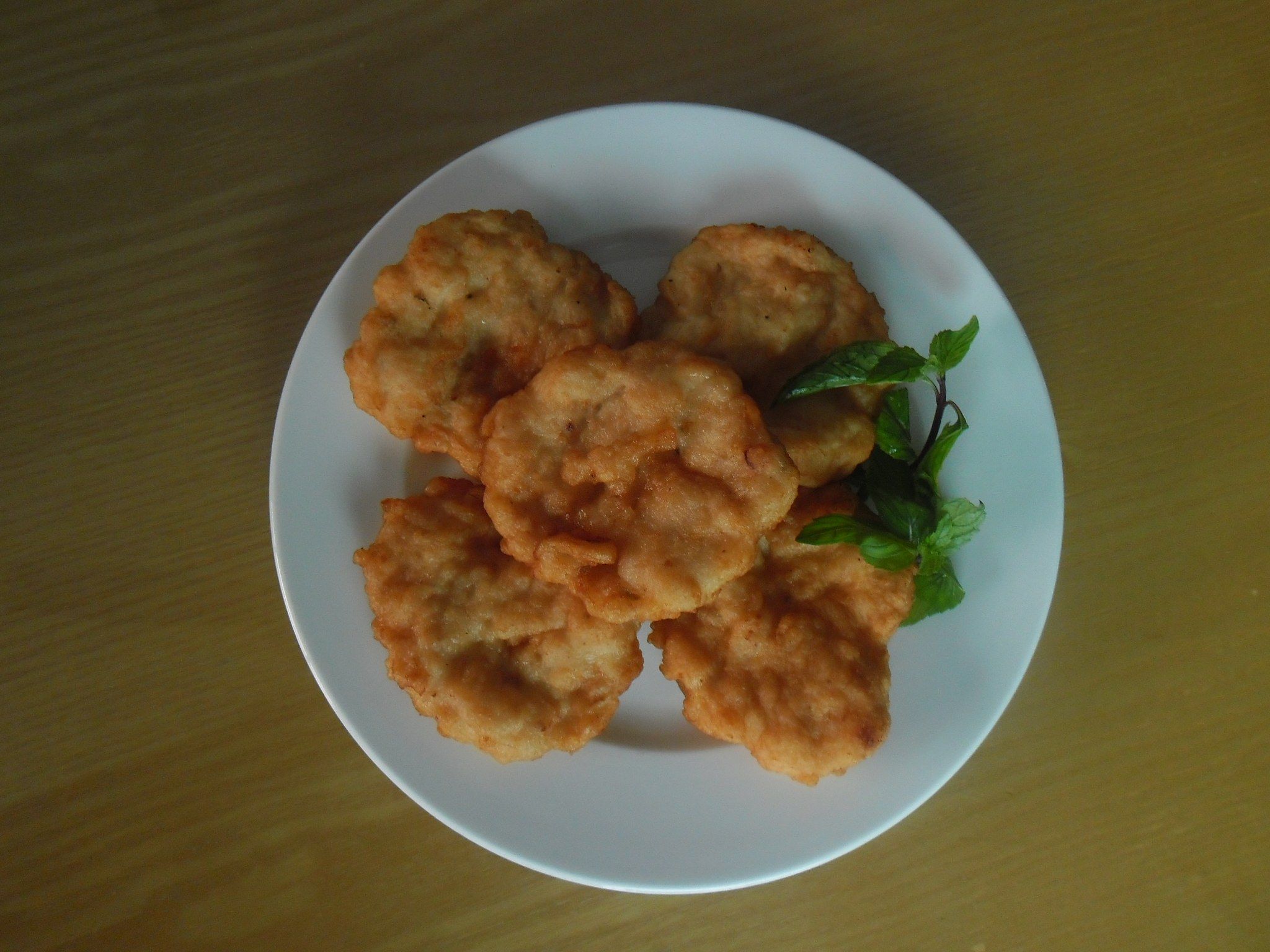
Hạ Long Chả mực, a Hạ Long dish of ground squid formed into patties and fried. Photo: Hoangkid (Đặng Thái Hoàng), CC BY-SA 4.0 -
Hạ Long Cooked ngán clams (Austriella corrugata), a local speciality on the Hạ Long coast, on a white plate.
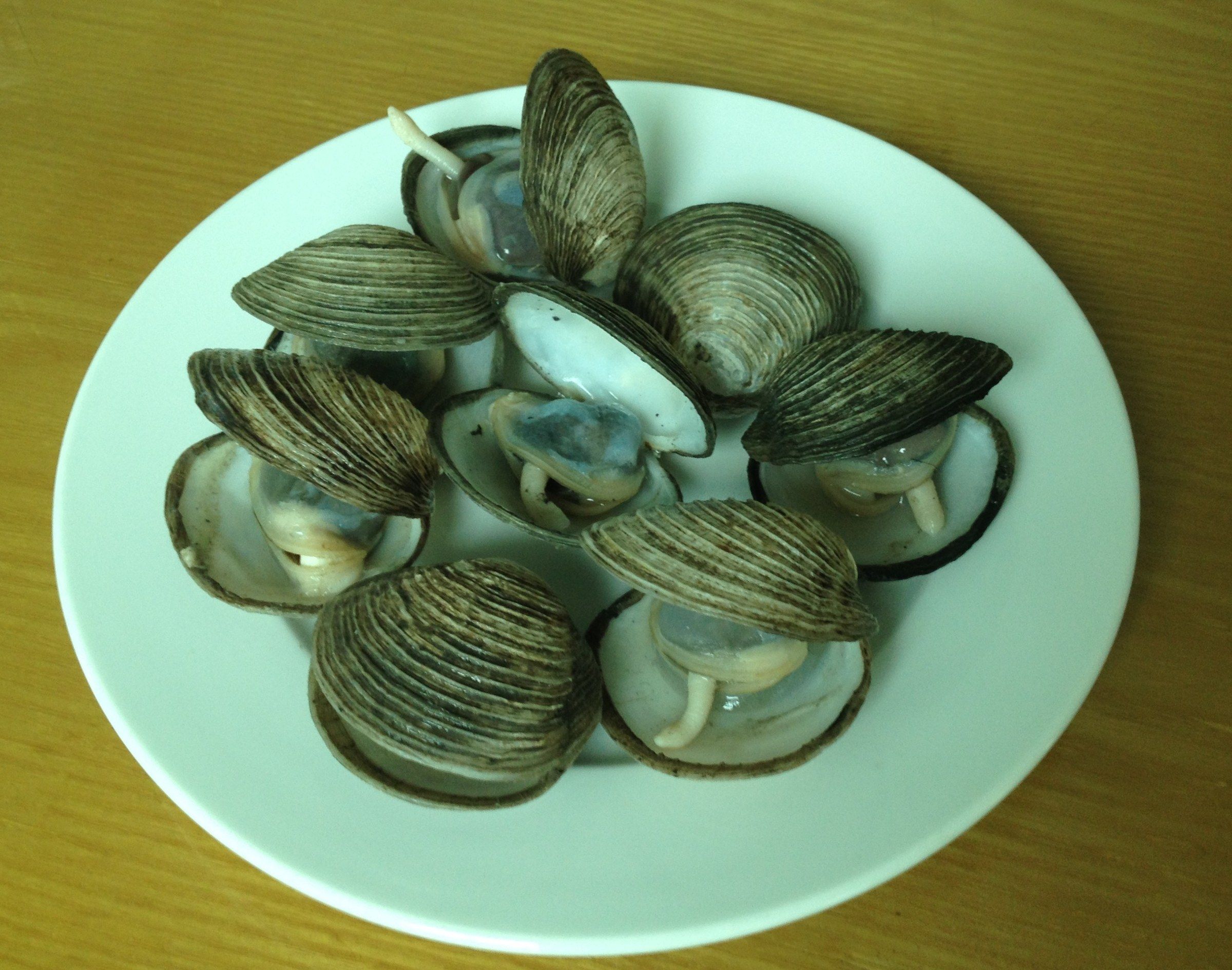
Hạ Long Cooked ngán clams (Austriella corrugata), a local speciality on the Hạ Long coast, on a white plate. Photo: Hoangkid, CC BY-SA 4.0
These 15 photographs show the Hạ Long shore, now the wards of Bãi Cháy, Hồng Gai and Tuần Châu: the shoreline, the Queen Cable Car, the Bãi Cháy Bridge and beach, the Hòn Gai Catholic Church, the Quảng Ninh Museum, the quay and canals of Tuần Châu, a seaplane and ocean liners at the pier, and two local dishes. The cable-stayed Bãi Cháy Bridge, 903 m long, opened on 2 December 2006, and the black, angular museum by the Spanish architect Salvador Pérez Arroyo was inaugurated on 13 October 2013. What to do ashore is on things to do.
Lan Ha, Cat Ba and Bai Tu Long
-
Làng chài Cái Bèo Moored boats and floating houses at the Cái Bèo floating village, with limestone islands behind, in June 2017.
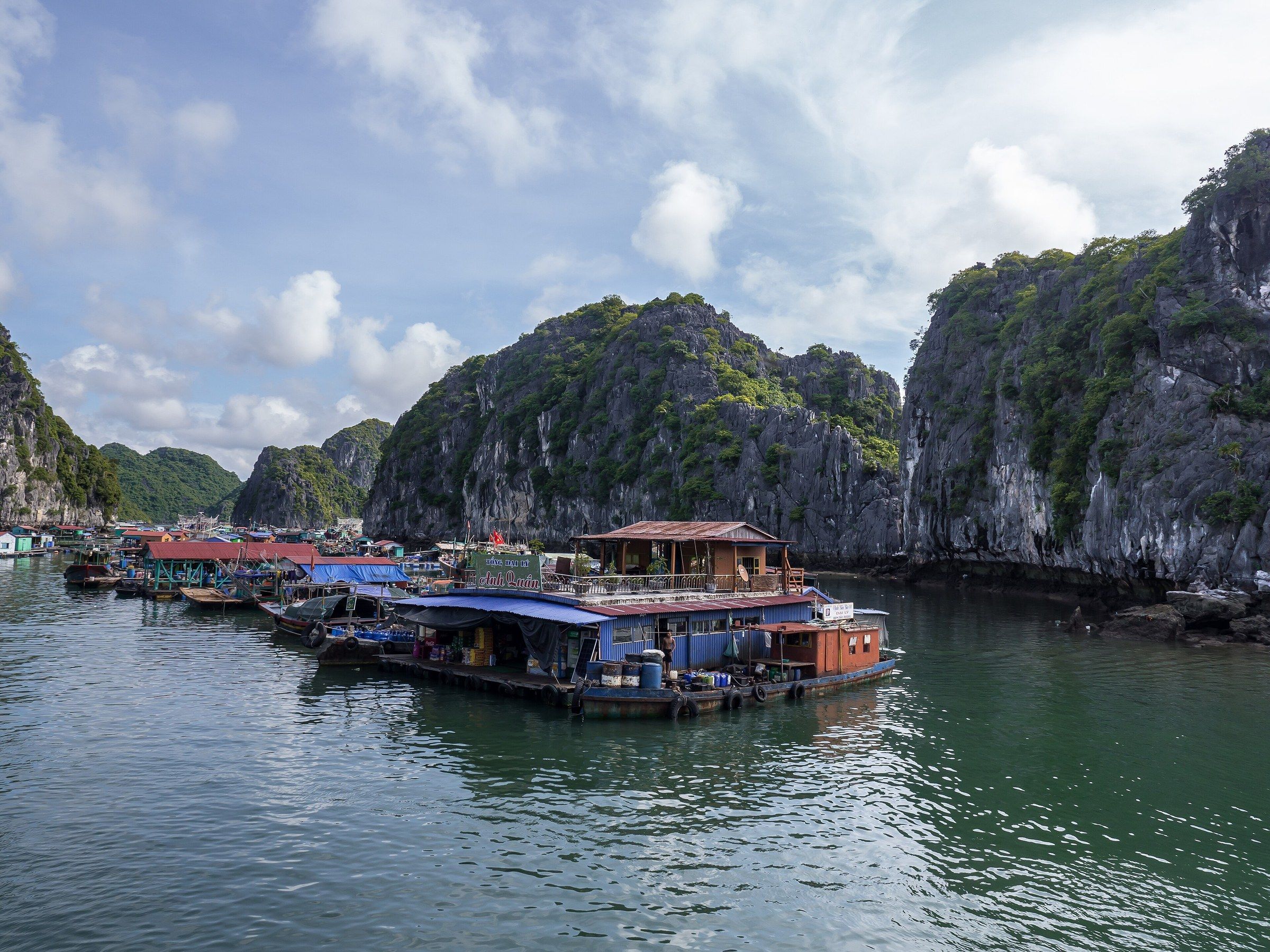
Làng chài Cái Bèo Moored boats and floating houses at the Cái Bèo floating village, with limestone islands behind, in June 2017. Photo: Edgardo W. Olivera, CC BY 2.0 -
Làng chài Cái Bèo Floating houses and fish pens below a green limestone cliff at Cái Bèo, near Cát Bà, in August 2018.
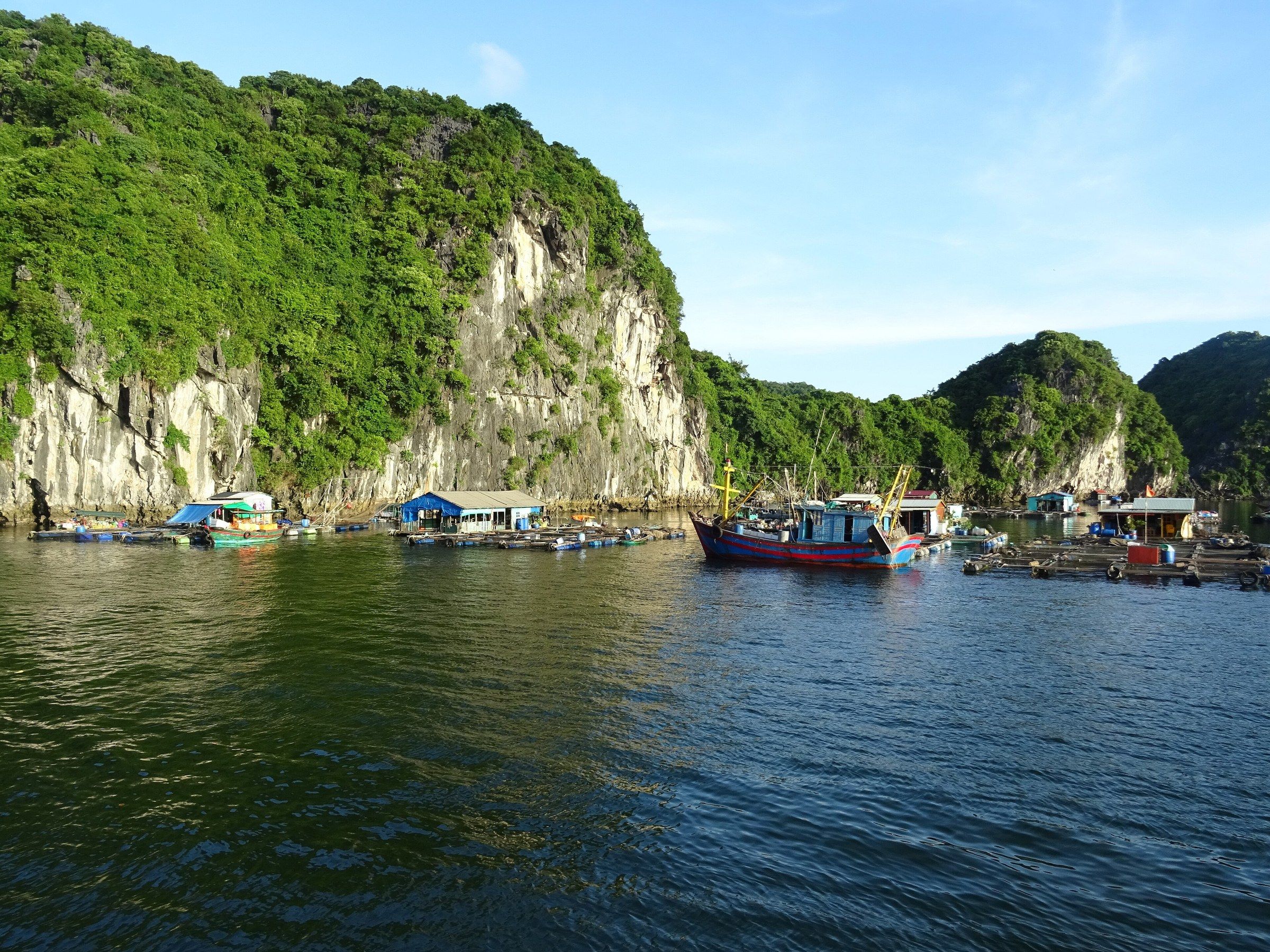
Làng chài Cái Bèo Floating houses and fish pens below a green limestone cliff at Cái Bèo, near Cát Bà, in August 2018. Photo: Christophe95, CC BY-SA 4.0 -
Vịnh Lan Hạ A high view of floating fish farms among the limestone islands of Lan Hạ Bay.
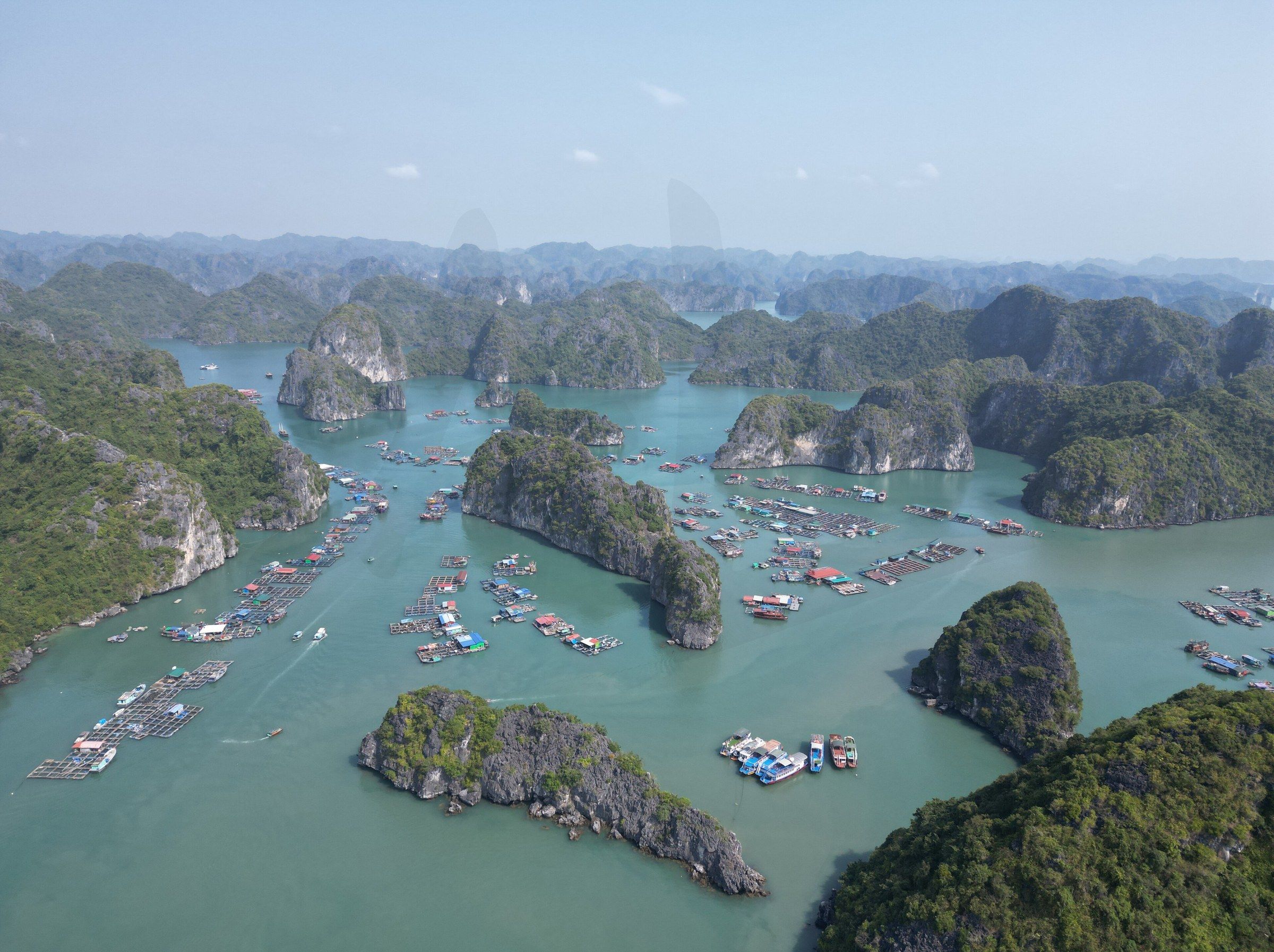
Vịnh Lan Hạ A high view of floating fish farms among the limestone islands of Lan Hạ Bay. Photo: Saaremees, CC BY-SA 4.0 -
Bờ biển đảo Cát Bà An offshore fishing settlement on the coast of Cát Bà Island, January 2024.
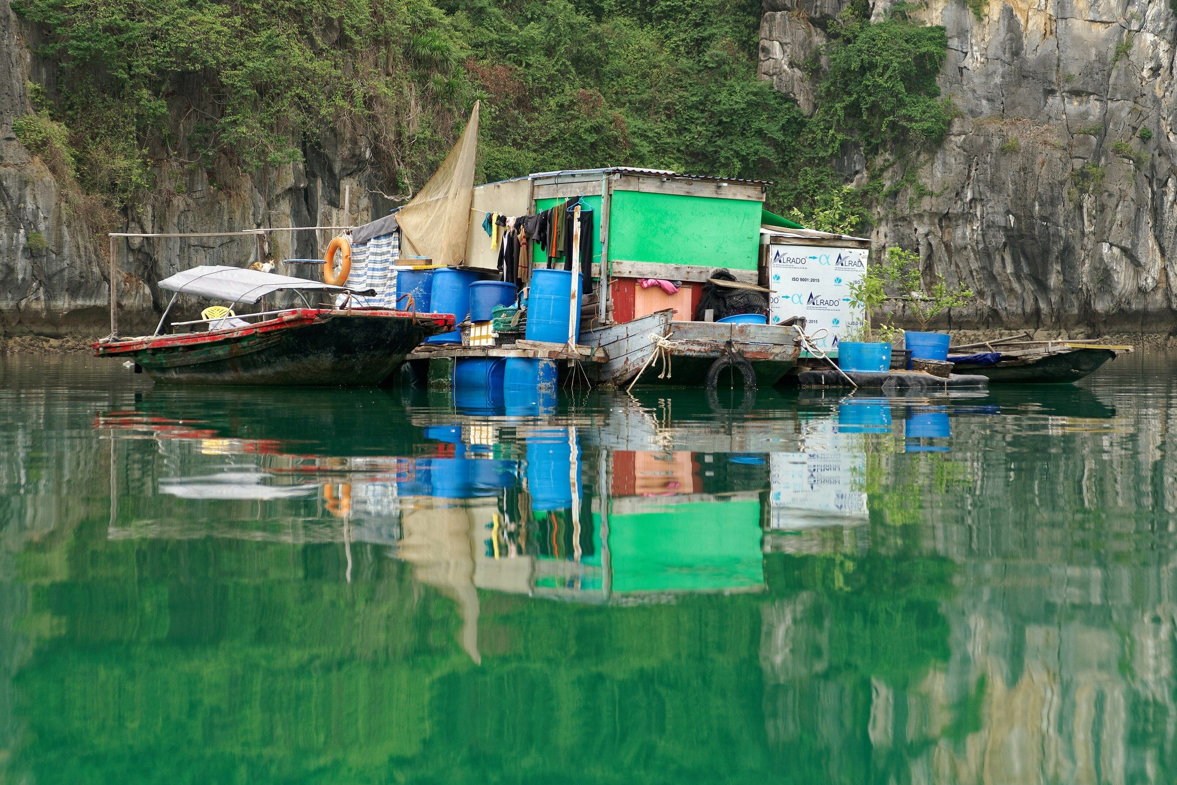
Bờ biển đảo Cát Bà An offshore fishing settlement on the coast of Cát Bà Island, January 2024. Photo: Jakub Hałun, CC BY 4.0 -
Hòn Bút, vịnh Lan Hạ Hòn Bút, a limestone rock standing in Lan Hạ Bay under cumulus cloud.
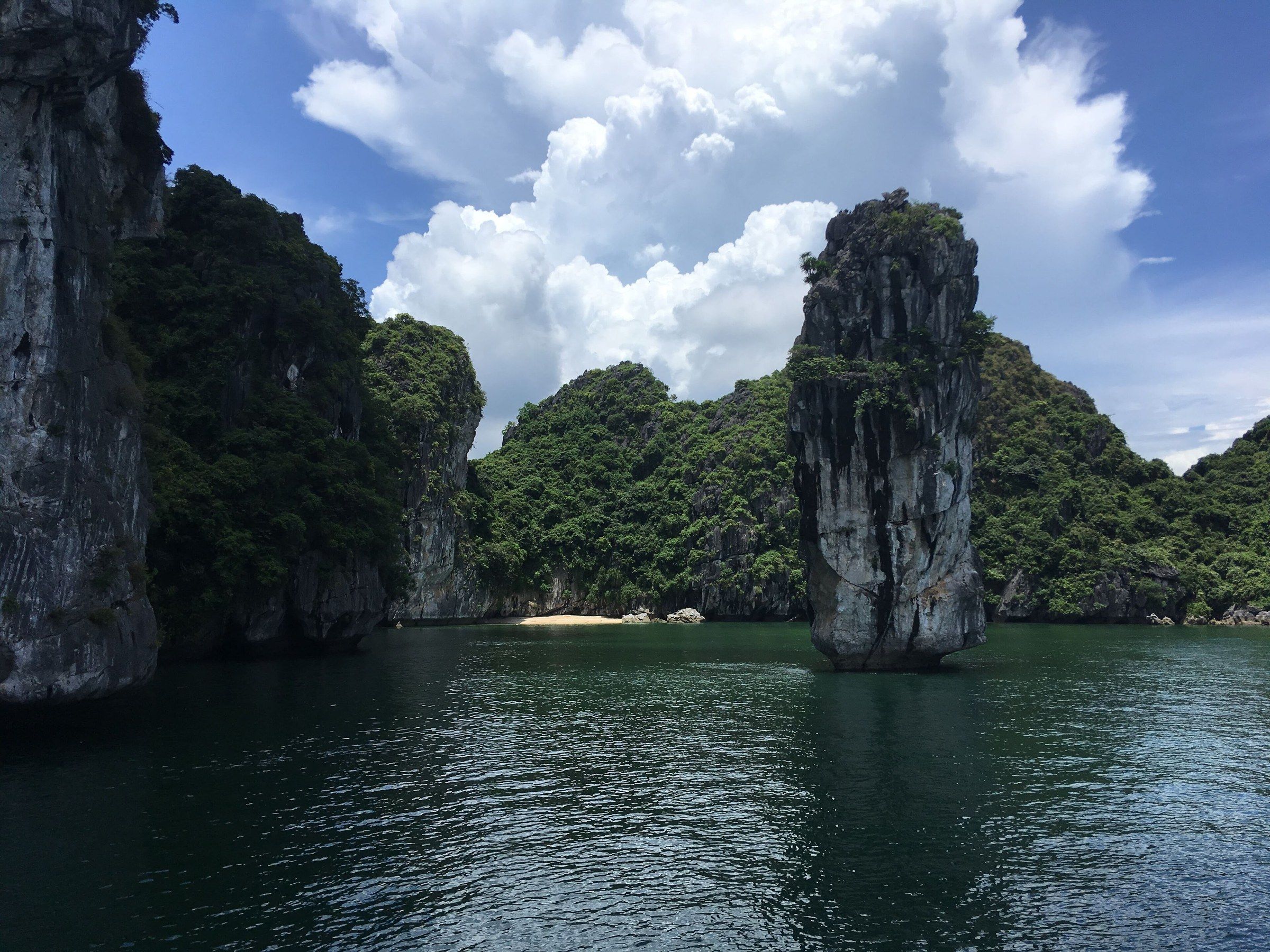
Hòn Bút, vịnh Lan Hạ Hòn Bút, a limestone rock standing in Lan Hạ Bay under cumulus cloud. Photo: Christophe95, CC BY-SA 4.0 -
Vịnh Lan Hạ A small temple on a sandy beach below a limestone cliff in Lan Hạ Bay, seen from a boat.
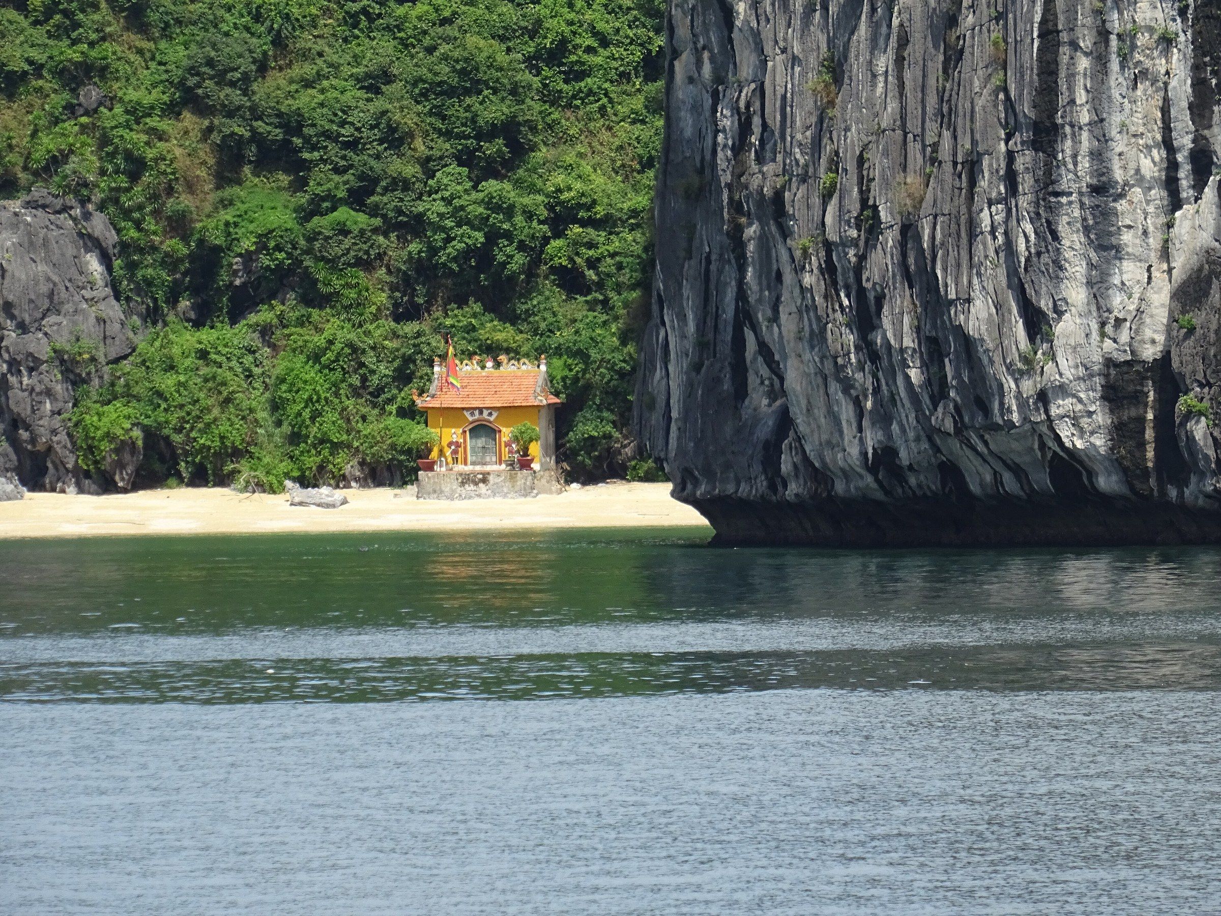
Vịnh Lan Hạ A small temple on a sandy beach below a limestone cliff in Lan Hạ Bay, seen from a boat. Photo: Christophe95, CC BY-SA 4.0 -
Vịnh Lan Hạ A lit cruise boat on Lan Hạ Bay at dusk in November 2023.
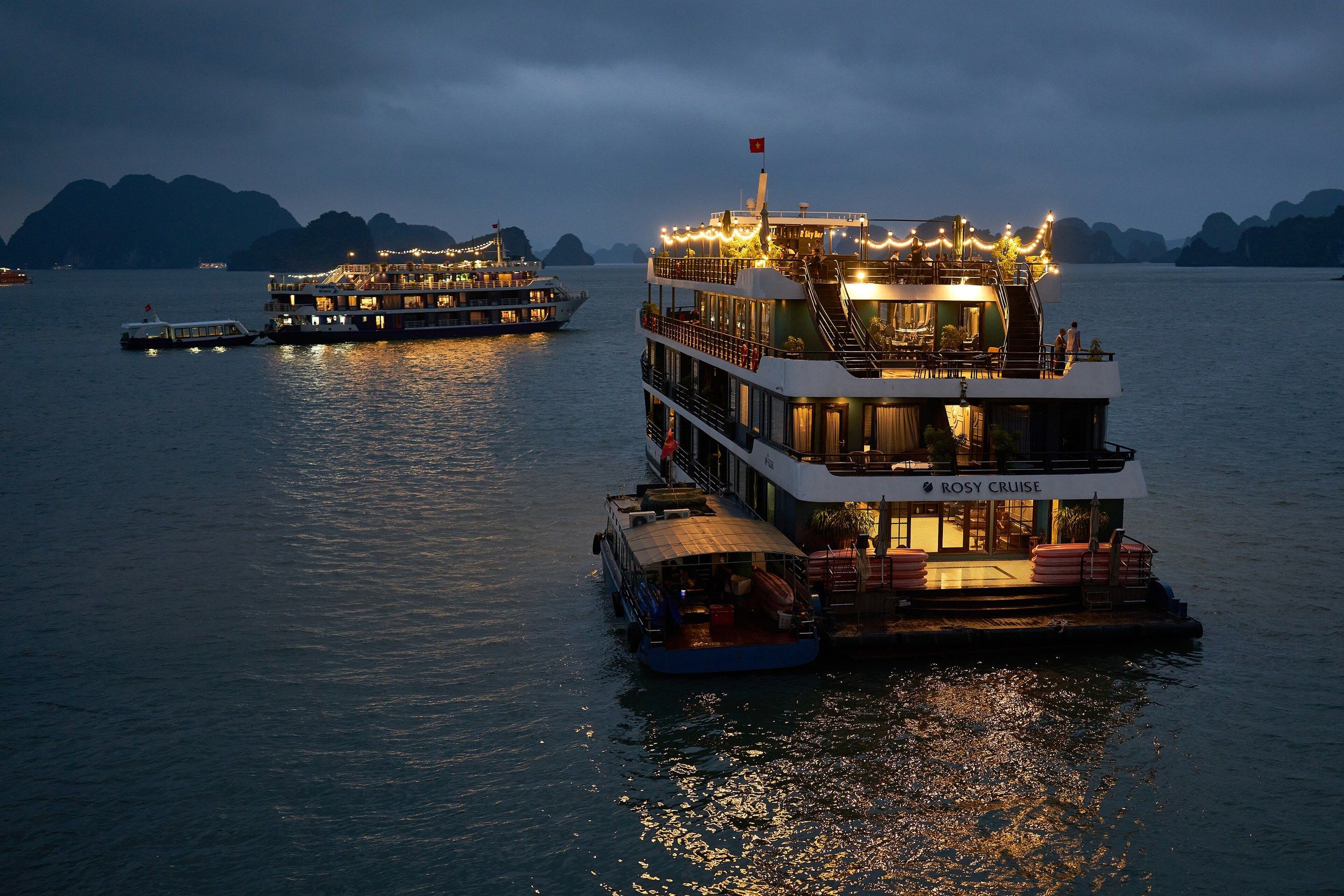
Vịnh Lan Hạ A lit cruise boat on Lan Hạ Bay at dusk in November 2023. Photo: Radek Kucharski, CC BY 2.0 -
Phà Cát Bà - Cát Hải Cát Bà seen from a ferry bound for Cát Hải, with a white car ferry at a landing below a ridge of forested limestone hills.
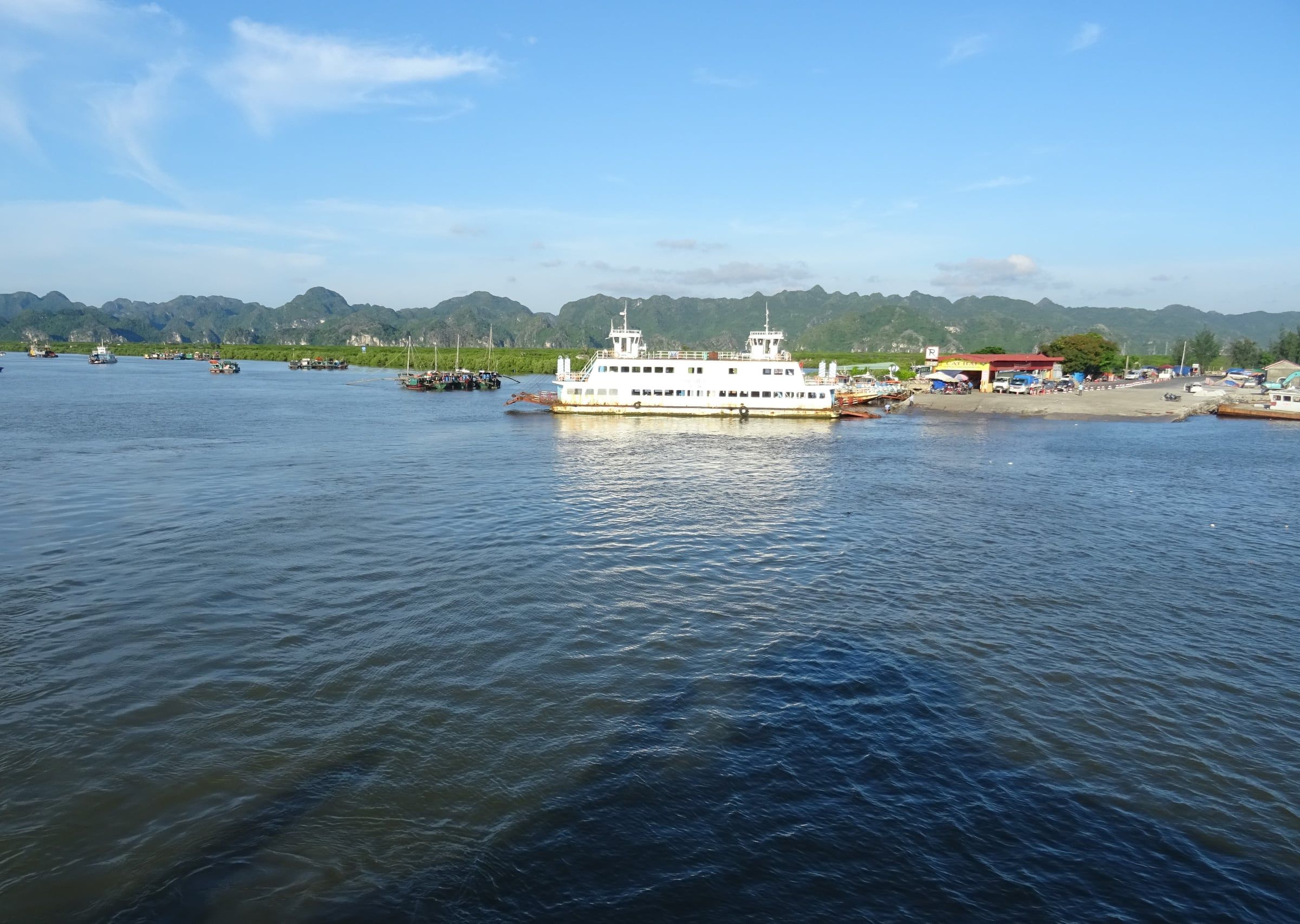
Phà Cát Bà - Cát Hải Cát Bà seen from a ferry bound for Cát Hải, with a white car ferry at a landing below a ridge of forested limestone hills. Photo: Christophe95, CC BY-SA 4.0 -
Thị trấn Cát Bà The small bay where Cát Bà town stands, with moored boats and low islands, seen from the western lookout at Cannon Fort.
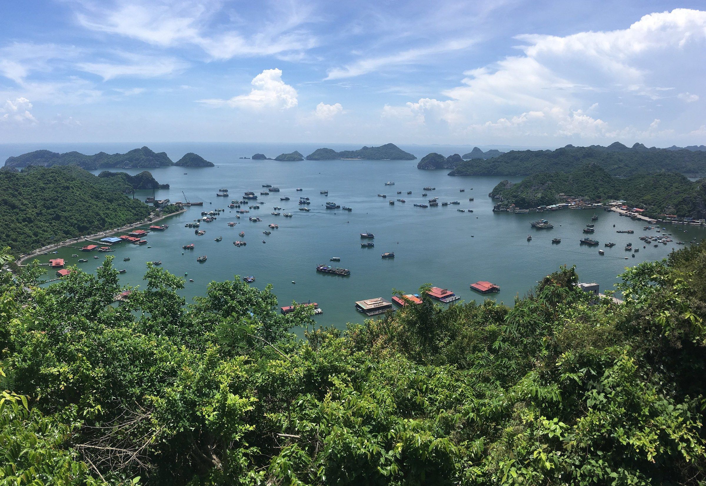
Thị trấn Cát Bà The small bay where Cát Bà town stands, with moored boats and low islands, seen from the western lookout at Cannon Fort. Photo: Christophe95, CC BY-SA 4.0 -
Thị trấn Cát Bà Harbourside buildings and moored boats below a green hill in Cát Bà town, August 2018.
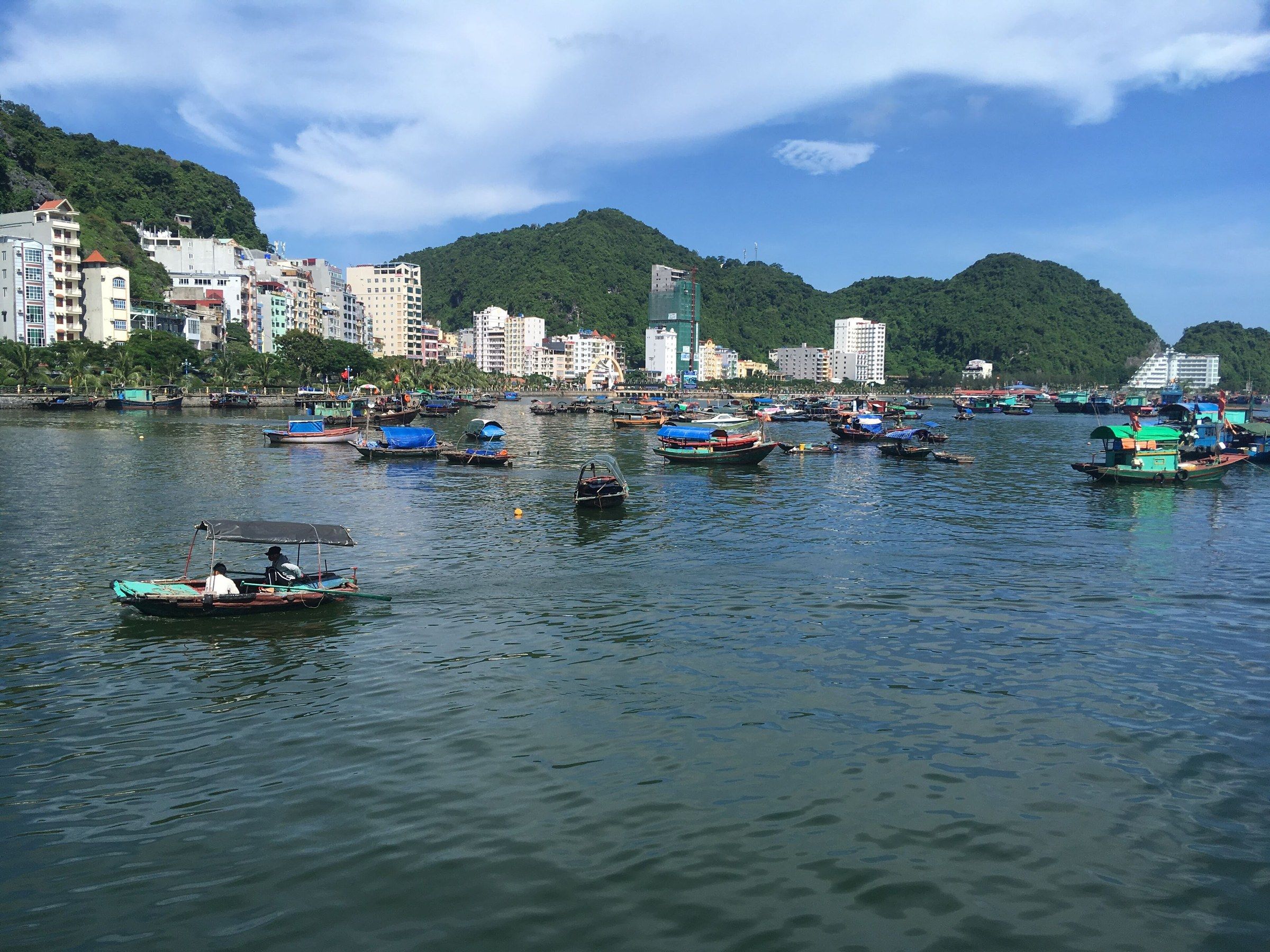
Thị trấn Cát Bà Harbourside buildings and moored boats below a green hill in Cát Bà town, August 2018. Photo: Christophe95, CC BY-SA 4.0 -
Thị trấn Cát Bà Live seafood tanks and bowls of shellfish outside a seafood shop in Cát Bà town, January 2024.
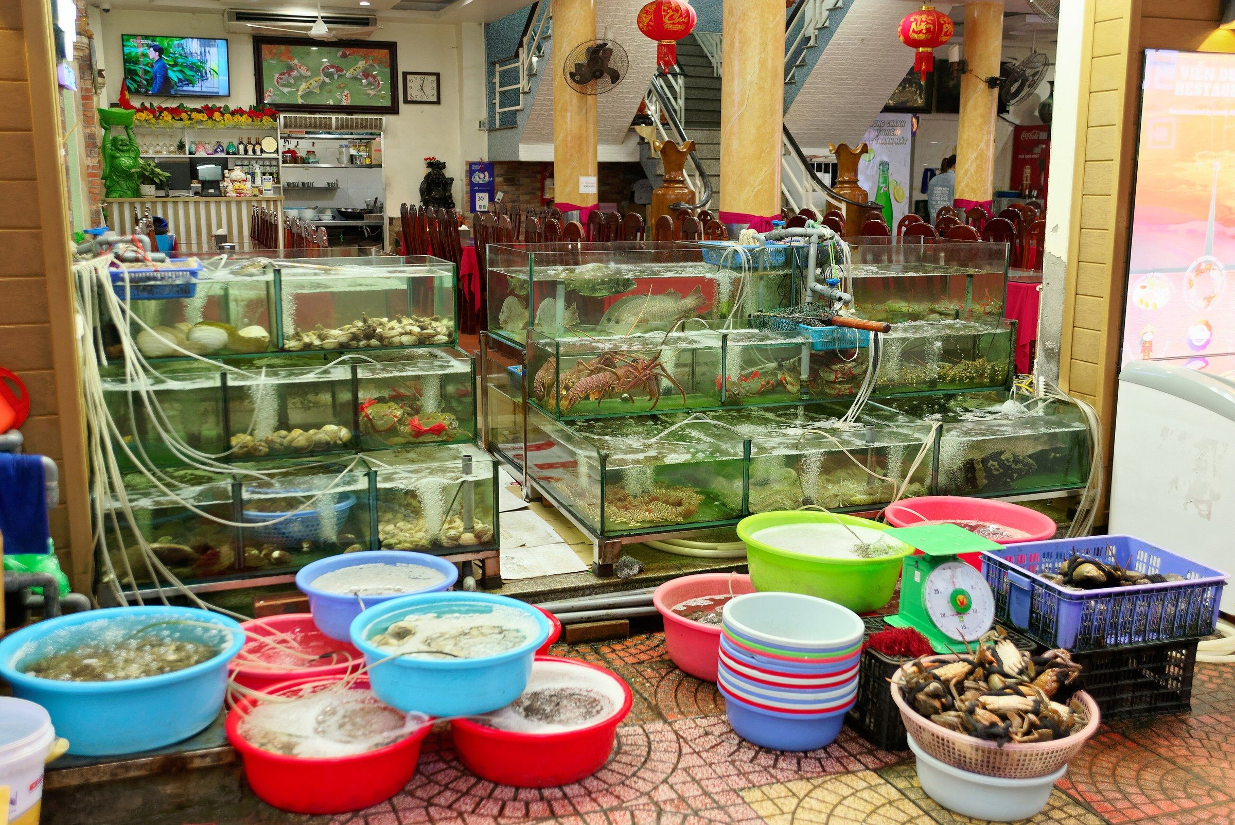
Thị trấn Cát Bà Live seafood tanks and bowls of shellfish outside a seafood shop in Cát Bà town, January 2024. Photo: Jakub Hałun, CC BY 4.0 -
Chợ Cát Bà Flat dried squid and baskets of orange dried shrimp are laid out on a wooden market stall in Cát Bà.
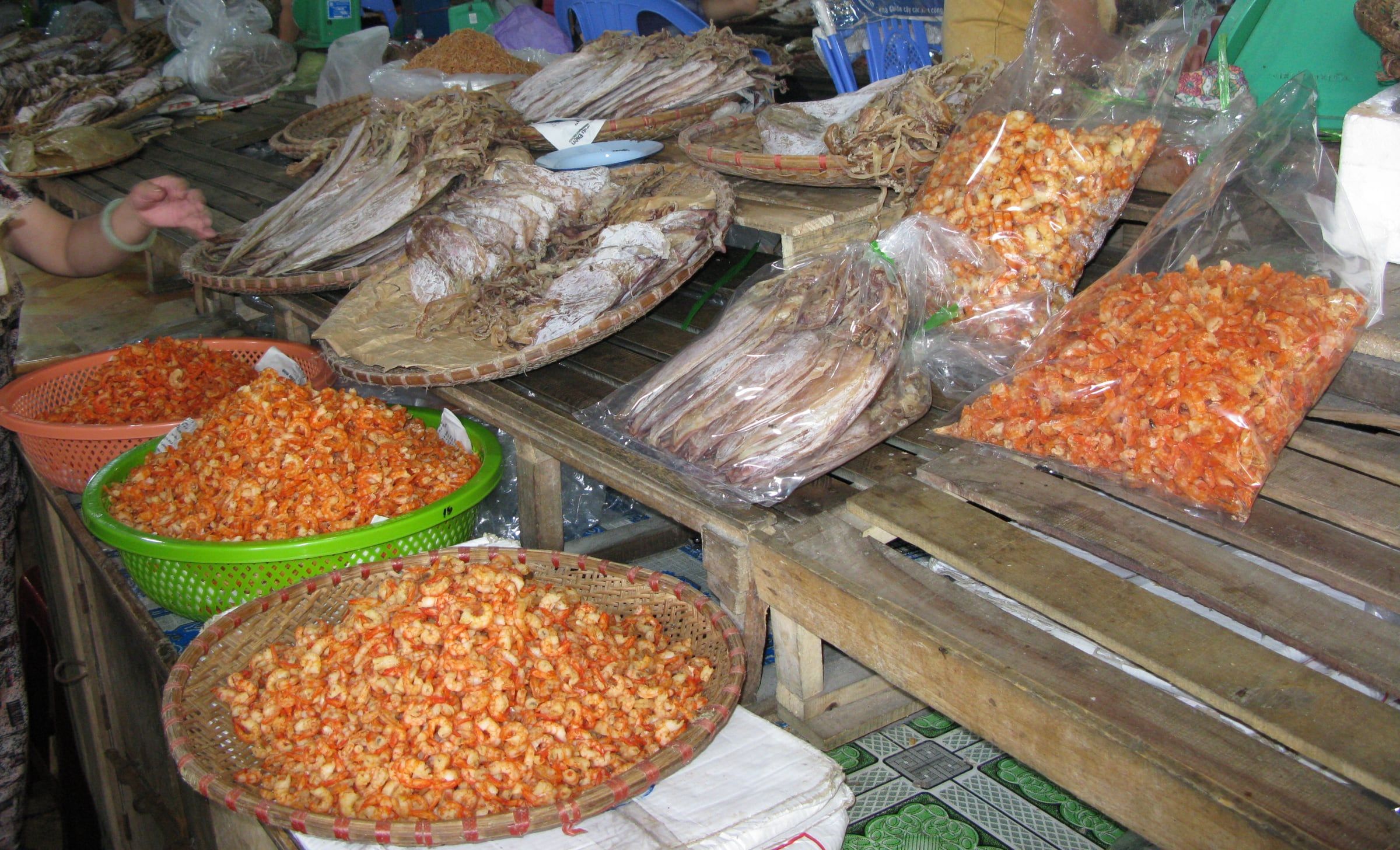
Chợ Cát Bà Flat dried squid and baskets of orange dried shrimp are laid out on a wooden market stall in Cát Bà. Photo: Bình Giang, Public domain -
Cát Bà A paved path lined with palm trees running between green limestone hills on Cát Bà.
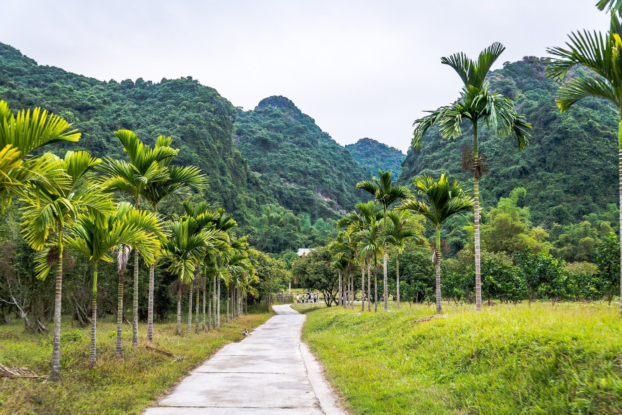
Cát Bà A paved path lined with palm trees running between green limestone hills on Cát Bà. Photo: Preparetavalise.com, CC BY-SA 4.0 -
Bãi Cát Cò 1, Cát Bà Cát Cò 1 Beach from the air, with hotel buildings on the hillside beside it, April 2021.
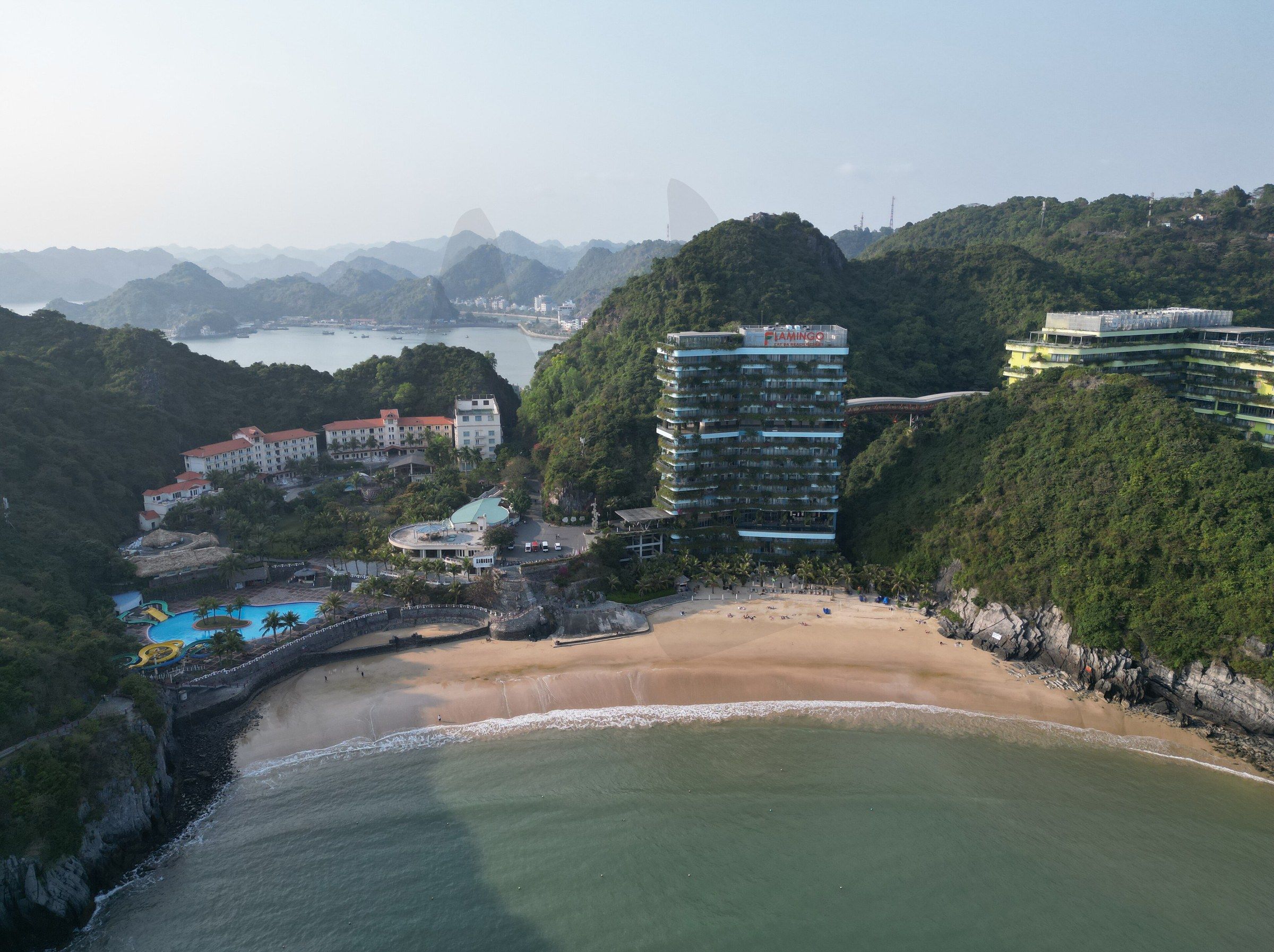
Bãi Cát Cò 1, Cát Bà Cát Cò 1 Beach from the air, with hotel buildings on the hillside beside it, April 2021. Photo: Saaremees, CC BY-SA 4.0 -
Pháo đài Thần Công, Cát Bà Forested hills and the sea to the west of Cát Bà town, seen from Cannon Fort.
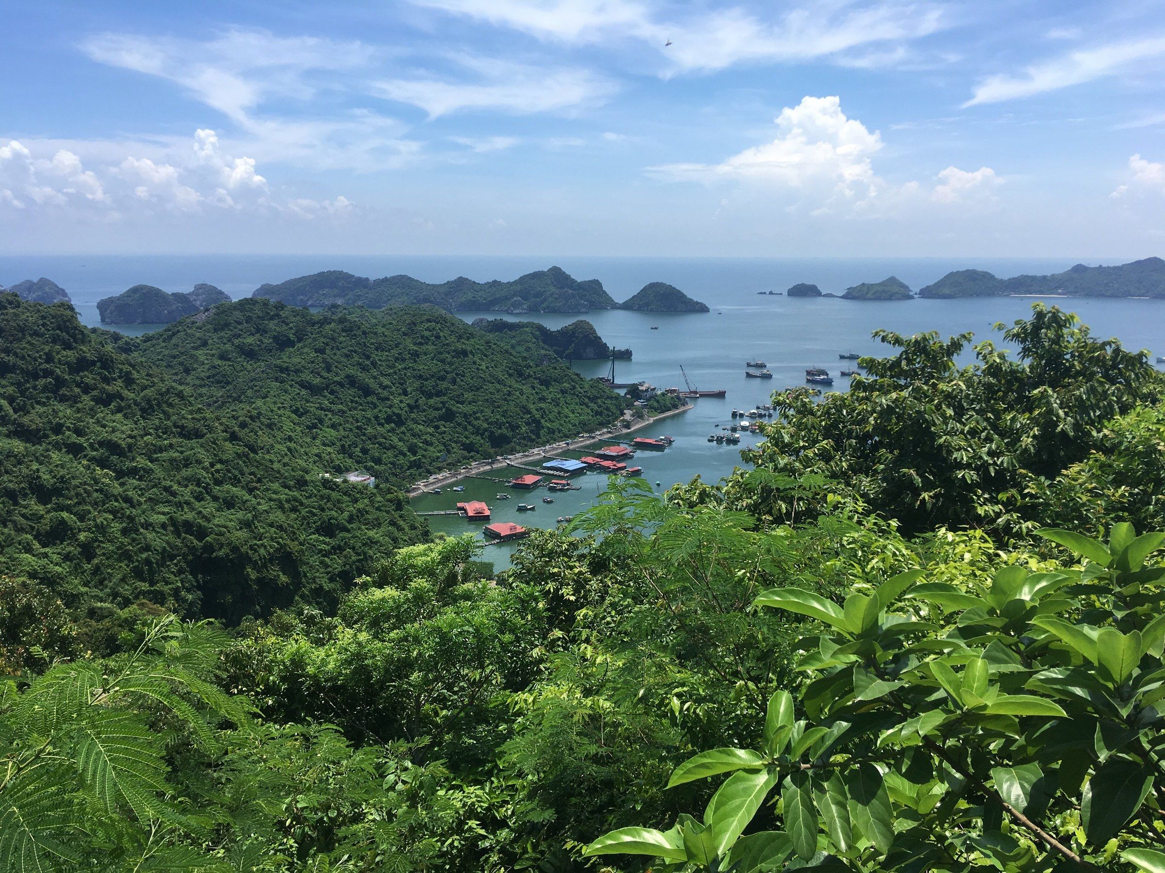
Pháo đài Thần Công, Cát Bà Forested hills and the sea to the west of Cát Bà town, seen from Cannon Fort. Photo: Christophe95, CC BY-SA 4.0 -
Pháo đài Thần Công, Cát Bà A gun in its circular emplacement at Cannon Fort on Cát Bà, with green figures of gunners beside it.
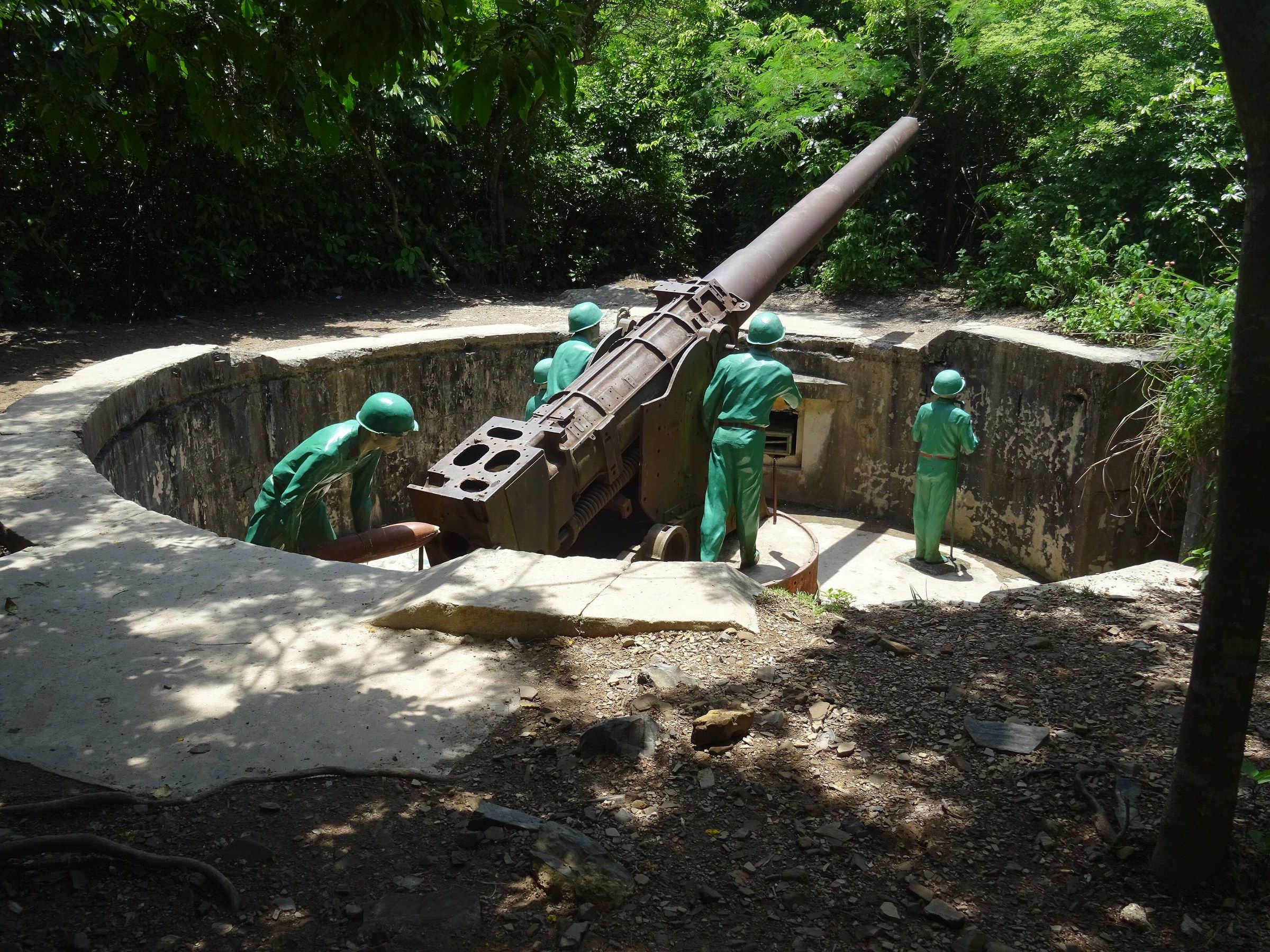
Pháo đài Thần Công, Cát Bà A gun in its circular emplacement at Cannon Fort on Cát Bà, with green figures of gunners beside it. Photo: Christophe95, CC BY-SA 4.0 -
Đỉnh Ngự Lâm, Vườn quốc gia Cát Bà A forested limestone valley seen from Ngự Lâm Peak in Cát Bà National Park.
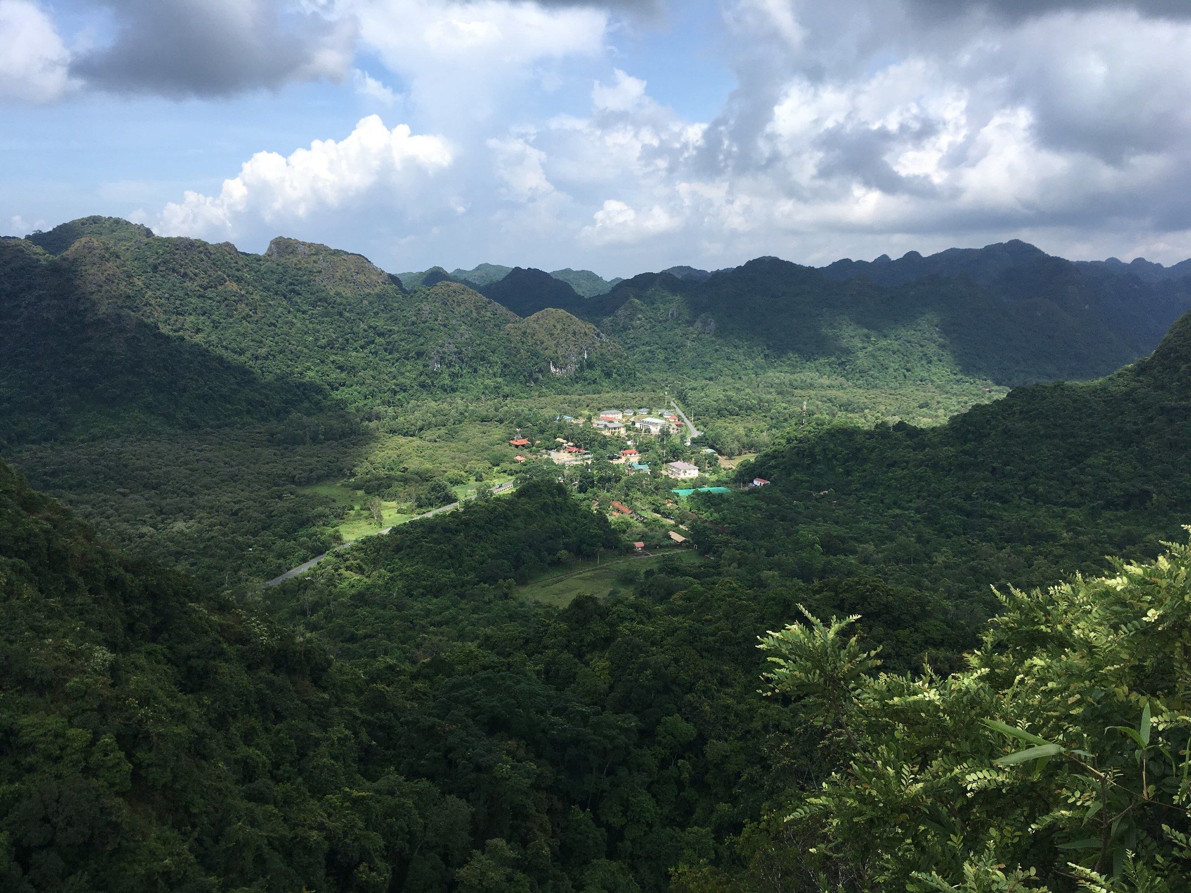
Đỉnh Ngự Lâm, Vườn quốc gia Cát Bà A forested limestone valley seen from Ngự Lâm Peak in Cát Bà National Park. Photo: Christophe95, CC BY-SA 4.0 -
Vườn quốc gia Cát Bà Rough steps with a wooden handrail on a hiking trail through forest in Cát Bà National Park, January 2024.
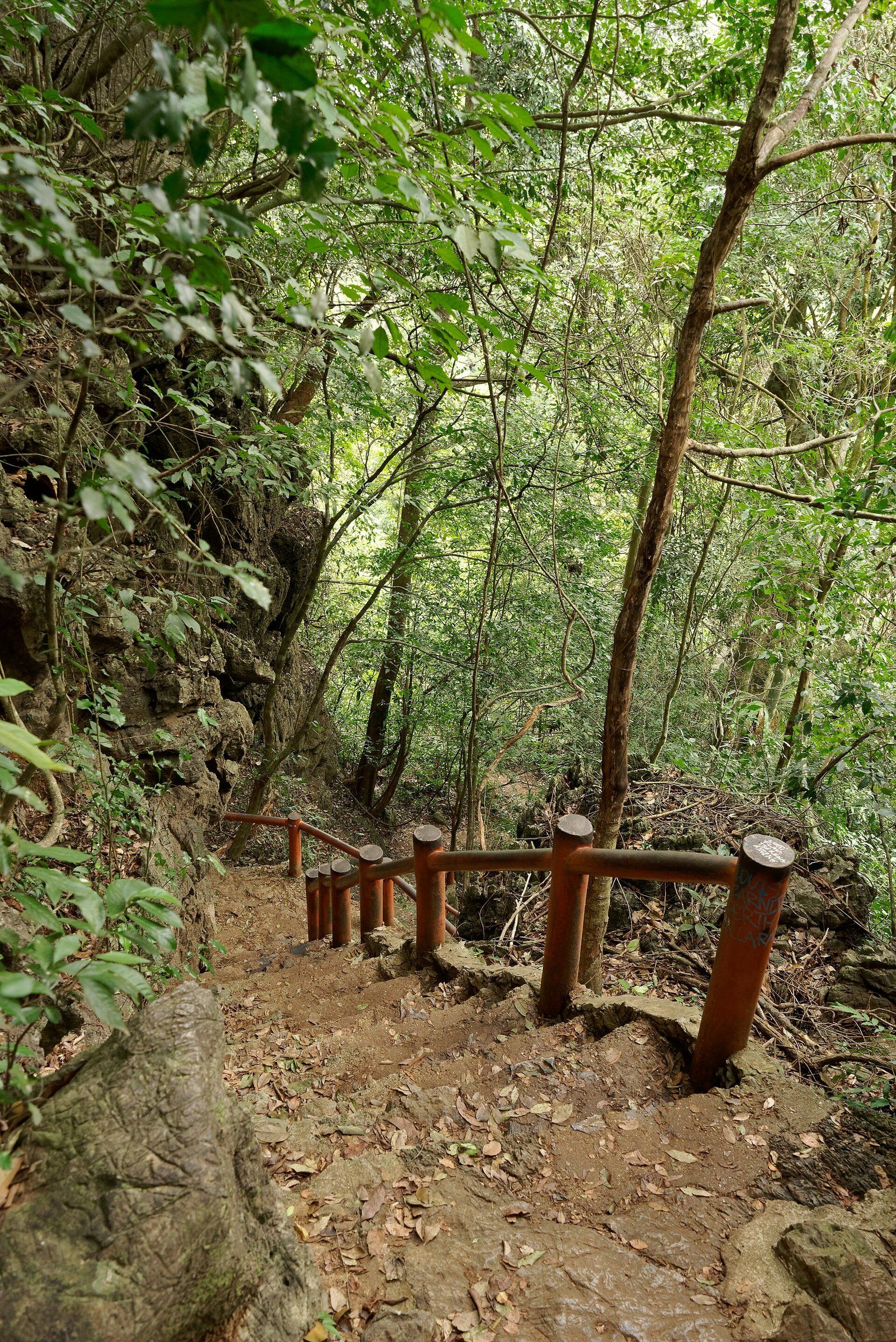
Vườn quốc gia Cát Bà Rough steps with a wooden handrail on a hiking trail through forest in Cát Bà National Park, January 2024. Photo: Jakub Hałun, CC BY 4.0 -
Vườn quốc gia Cát Bà The roots of a fig tree wrapped around limestone boulders beside a trail in Cát Bà National Park.
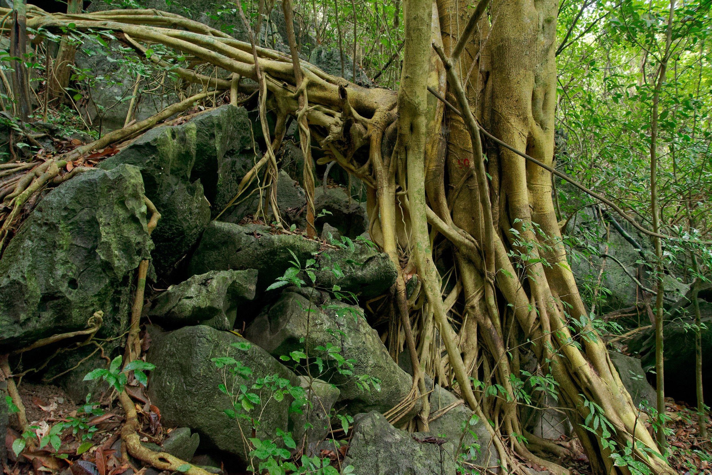
Vườn quốc gia Cát Bà The roots of a fig tree wrapped around limestone boulders beside a trail in Cát Bà National Park. Photo: Jakub Hałun, CC BY 4.0 -
Vườn quốc gia Cát Bà Two Cát Bà langurs (Trachypithecus poliocephalus) sitting on limestone rock in Cát Bà National Park.
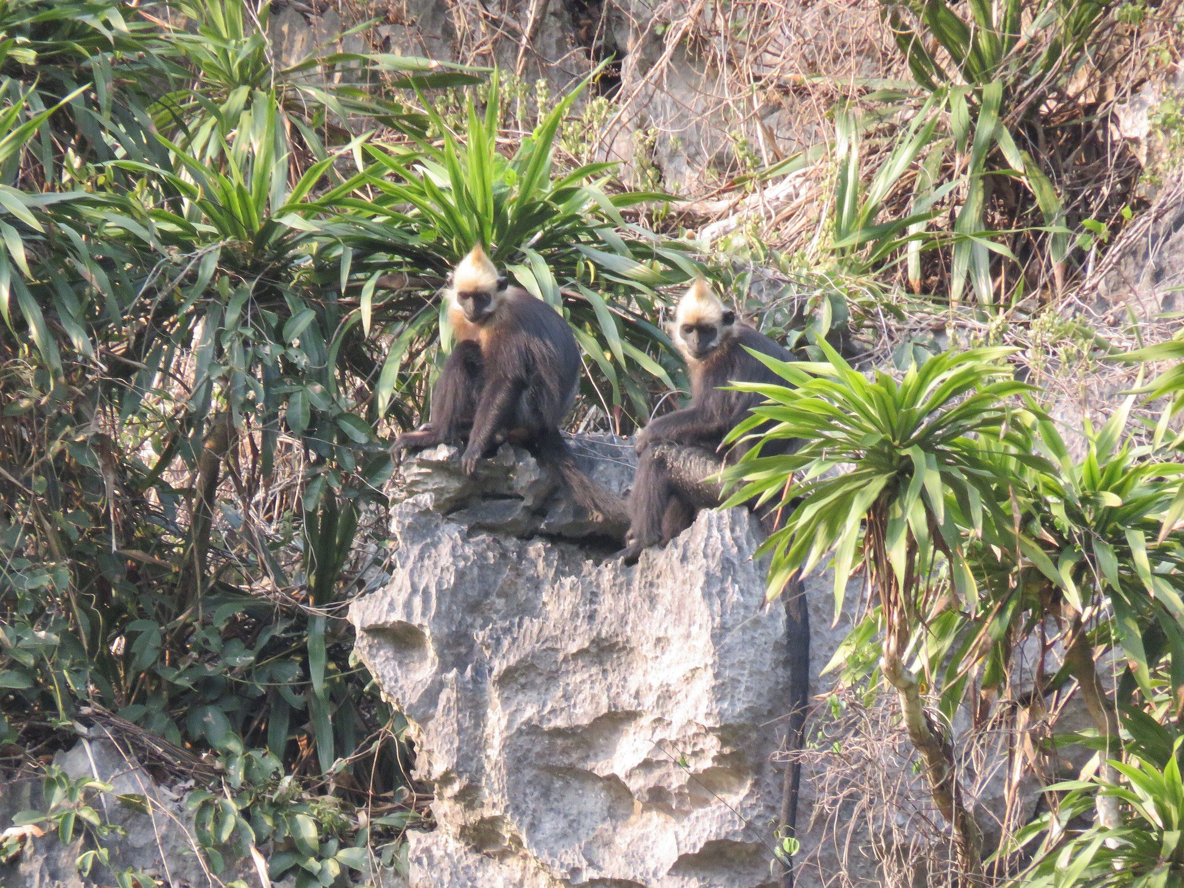
Vườn quốc gia Cát Bà Two Cát Bà langurs (Trachypithecus poliocephalus) sitting on limestone rock in Cát Bà National Park. Photo: ALOnIShOnETH, CC BY-SA 4.0 -
Vườn quốc gia Cát Bà Two Cát Bà langurs (Trachypithecus poliocephalus), dark-bodied with pale golden heads, sit among leafy branches in Cát Bà National Park.
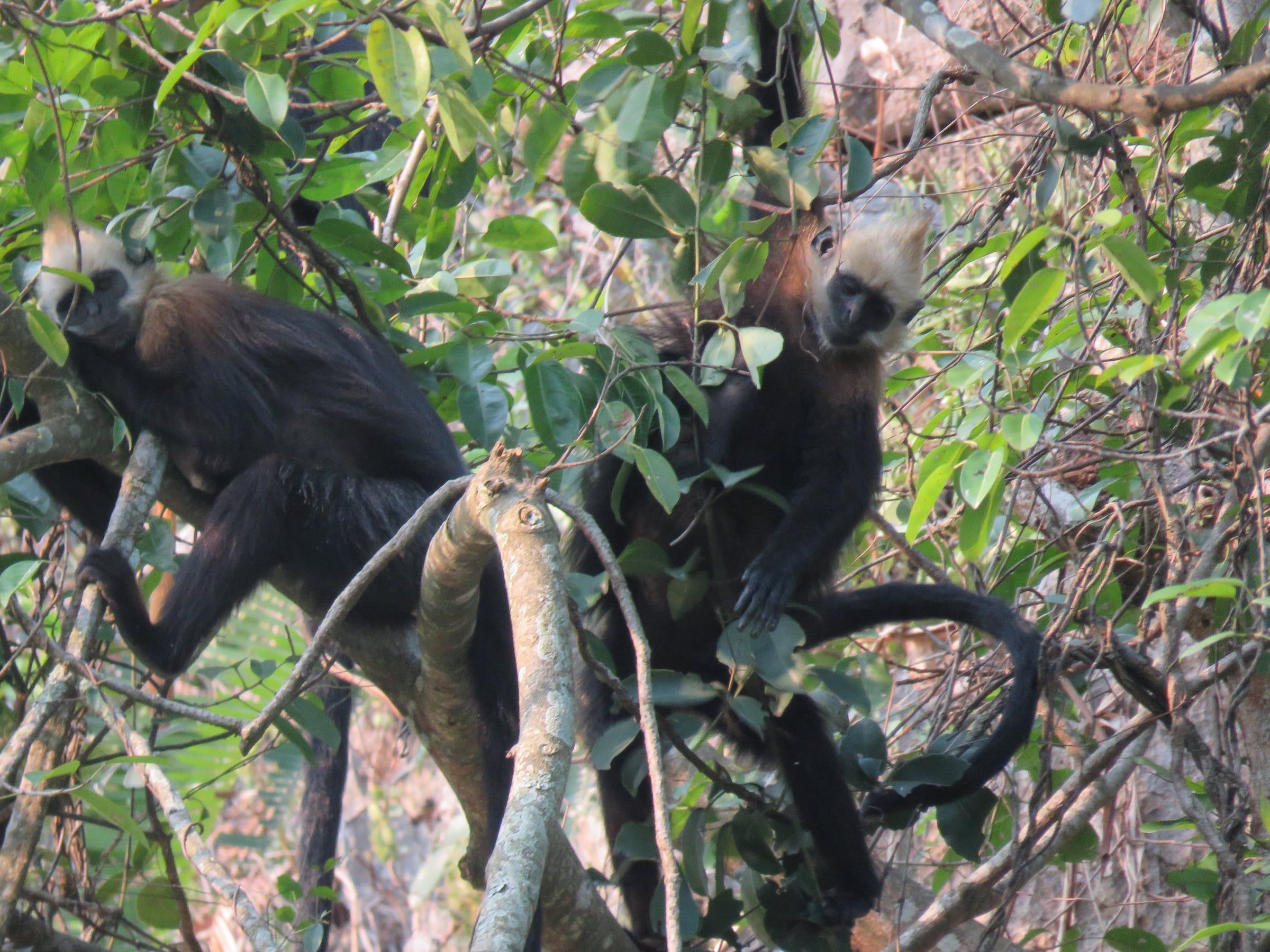
Vườn quốc gia Cát Bà Two Cát Bà langurs (Trachypithecus poliocephalus), dark-bodied with pale golden heads, sit among leafy branches in Cát Bà National Park. Photo: ALOnIShOnETH, CC BY-SA 4.0 -
Bờ tây bắc đảo Cát Bà Mangrove trees on a tidal flat on the north-west coast of Cát Bà Island.
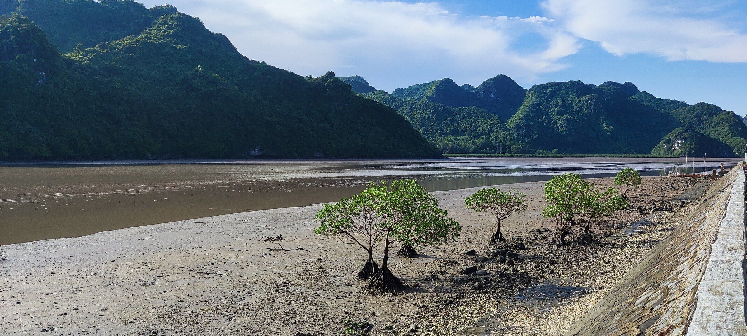
Bờ tây bắc đảo Cát Bà Mangrove trees on a tidal flat on the north-west coast of Cát Bà Island. Photo: Shyamal, CC BY-SA 4.0 -
Đường vào làng Việt Hải A concrete lane under an arch of trees on the road to Việt Hải, Cát Bà Island, January 2024.
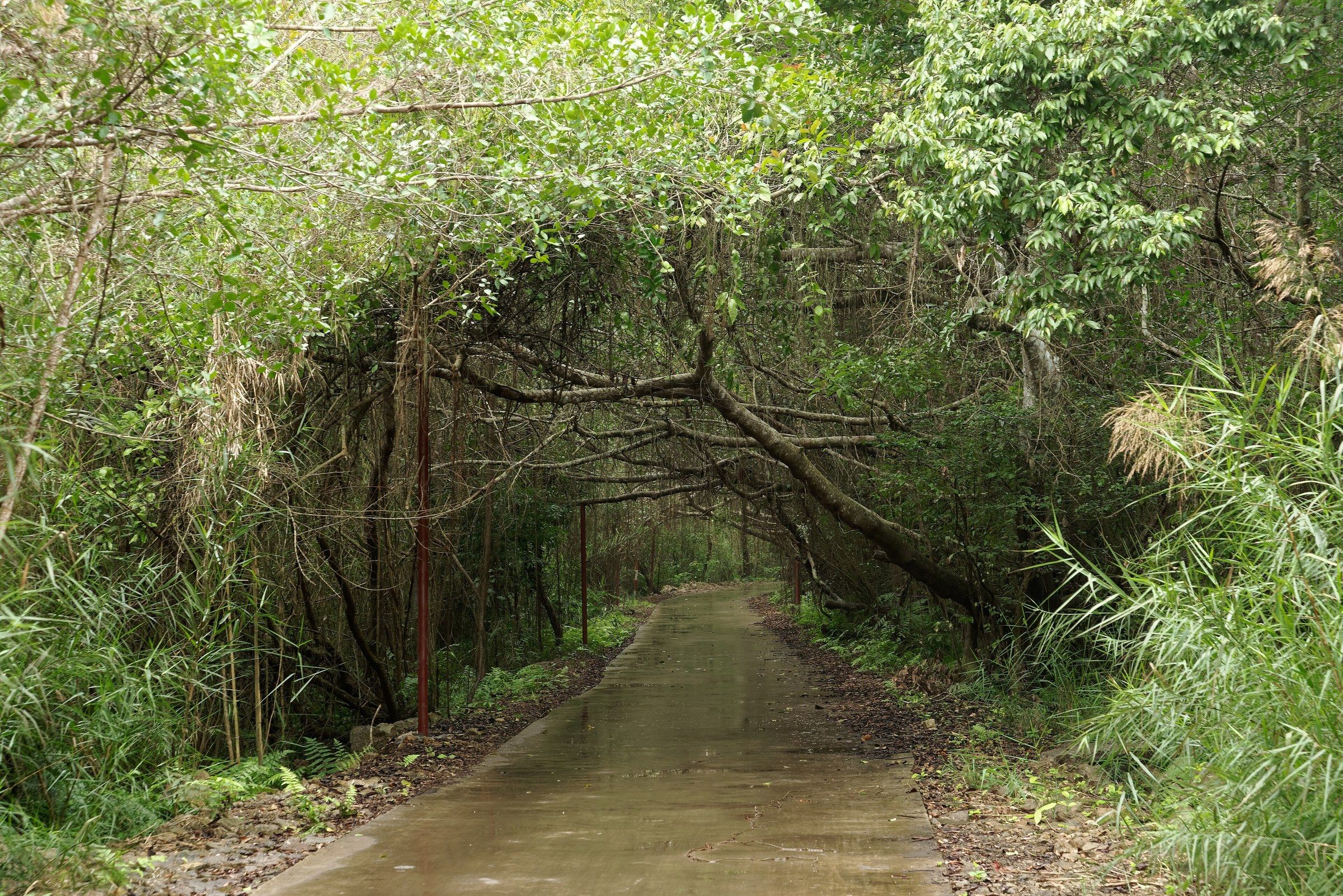
Đường vào làng Việt Hải A concrete lane under an arch of trees on the road to Việt Hải, Cát Bà Island, January 2024. Photo: Jakub Hałun, CC BY 4.0 -
Quần đảo Cát Bà Two red sea kayaks under tow behind a boat, with a floating house and a forested island beyond, in the Cát Bà archipelago, June 2017.
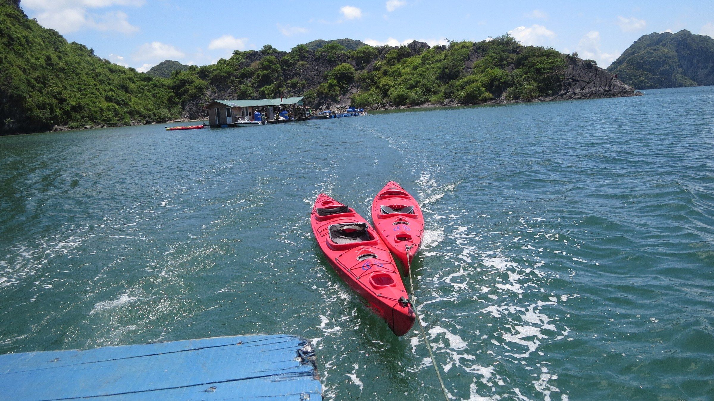
Quần đảo Cát Bà Two red sea kayaks under tow behind a boat, with a floating house and a forested island beyond, in the Cát Bà archipelago, June 2017. Photo: Tuyencabr, CC BY-SA 4.0 -
Cát Bà Yellow sea kayaks lined up beside a jetty near Cát Bà, with forested hills behind.
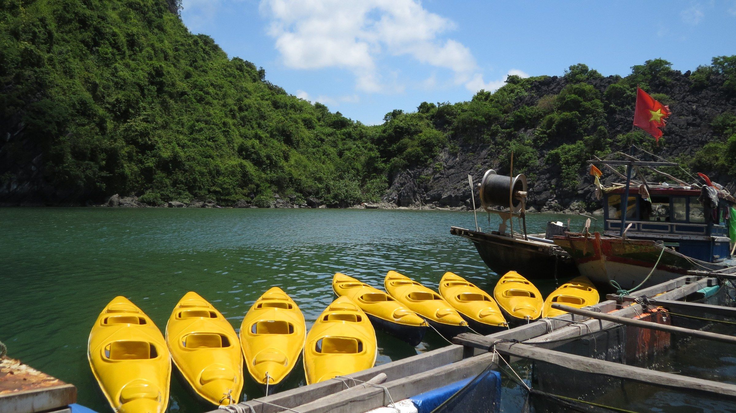
Cát Bà Yellow sea kayaks lined up beside a jetty near Cát Bà, with forested hills behind. Photo: Tuyencabr, CC BY-SA 4.0 -
Vịnh Bái Tử Long A line of limestone islands in Bái Tử Long Bay under blue sky and white cumulus cloud, August 2017.
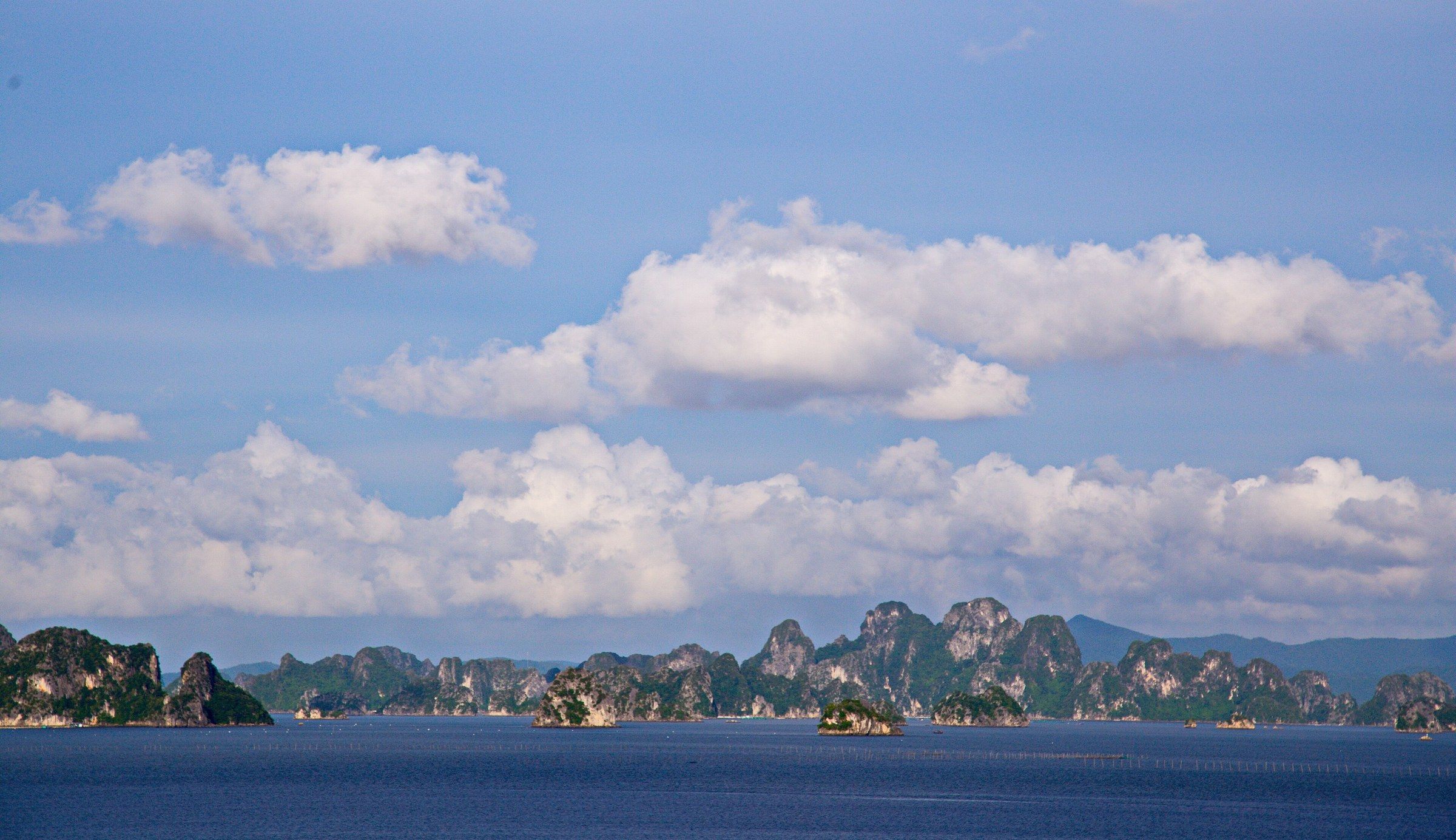
Vịnh Bái Tử Long A line of limestone islands in Bái Tử Long Bay under blue sky and white cumulus cloud, August 2017. Photo: AnhTuan Le, Public domain -
Vịnh Bái Tử Long Limestone stacks rising from calm water in Bái Tử Long Bay, April 2023.
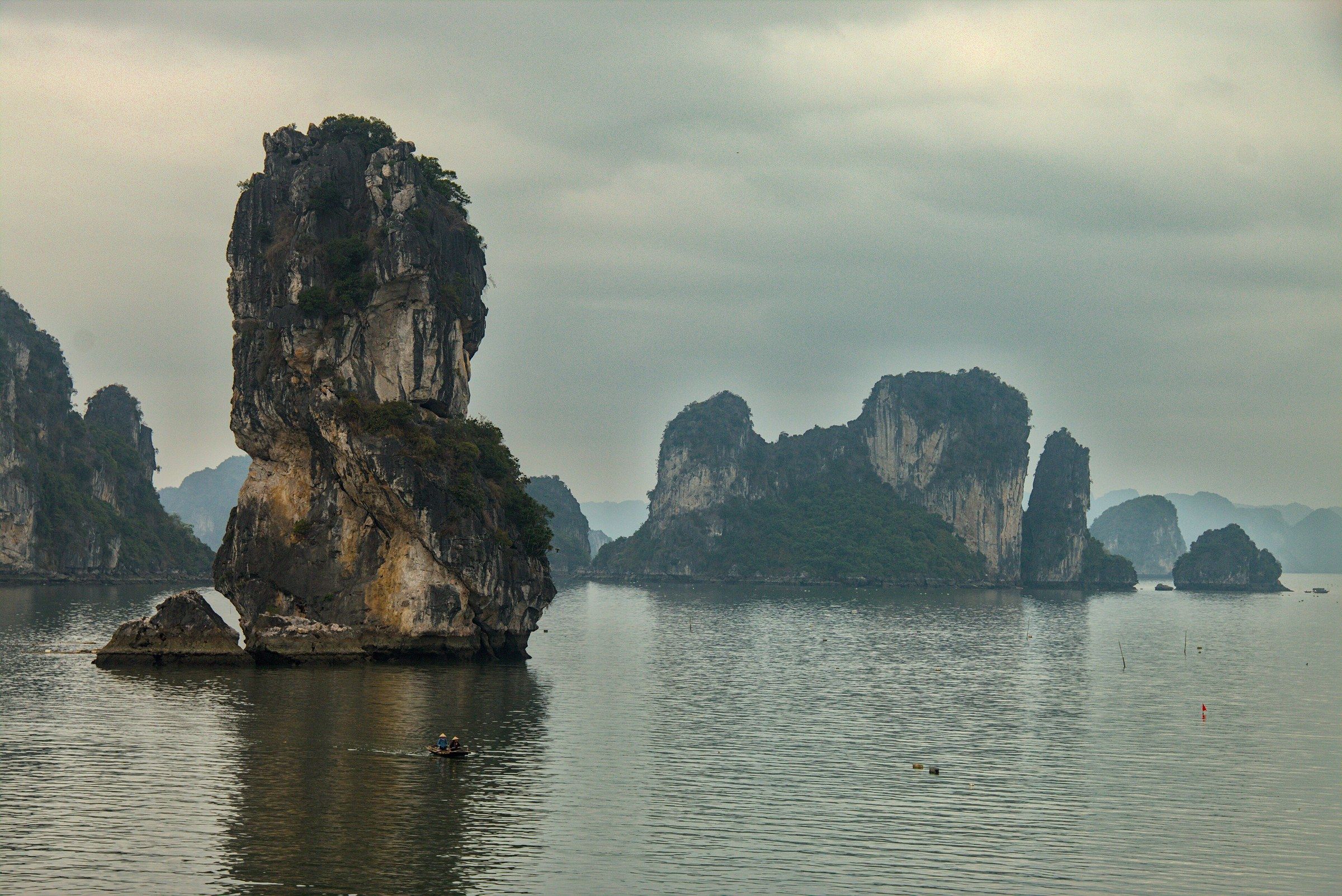
Vịnh Bái Tử Long Limestone stacks rising from calm water in Bái Tử Long Bay, April 2023. Photo: Benjamin Smith, CC BY-SA 4.0 -
Vịnh Bái Tử Long A small green fishing boat with three people aboard lies on calm green water below limestone cliffs in Bái Tử Long Bay.
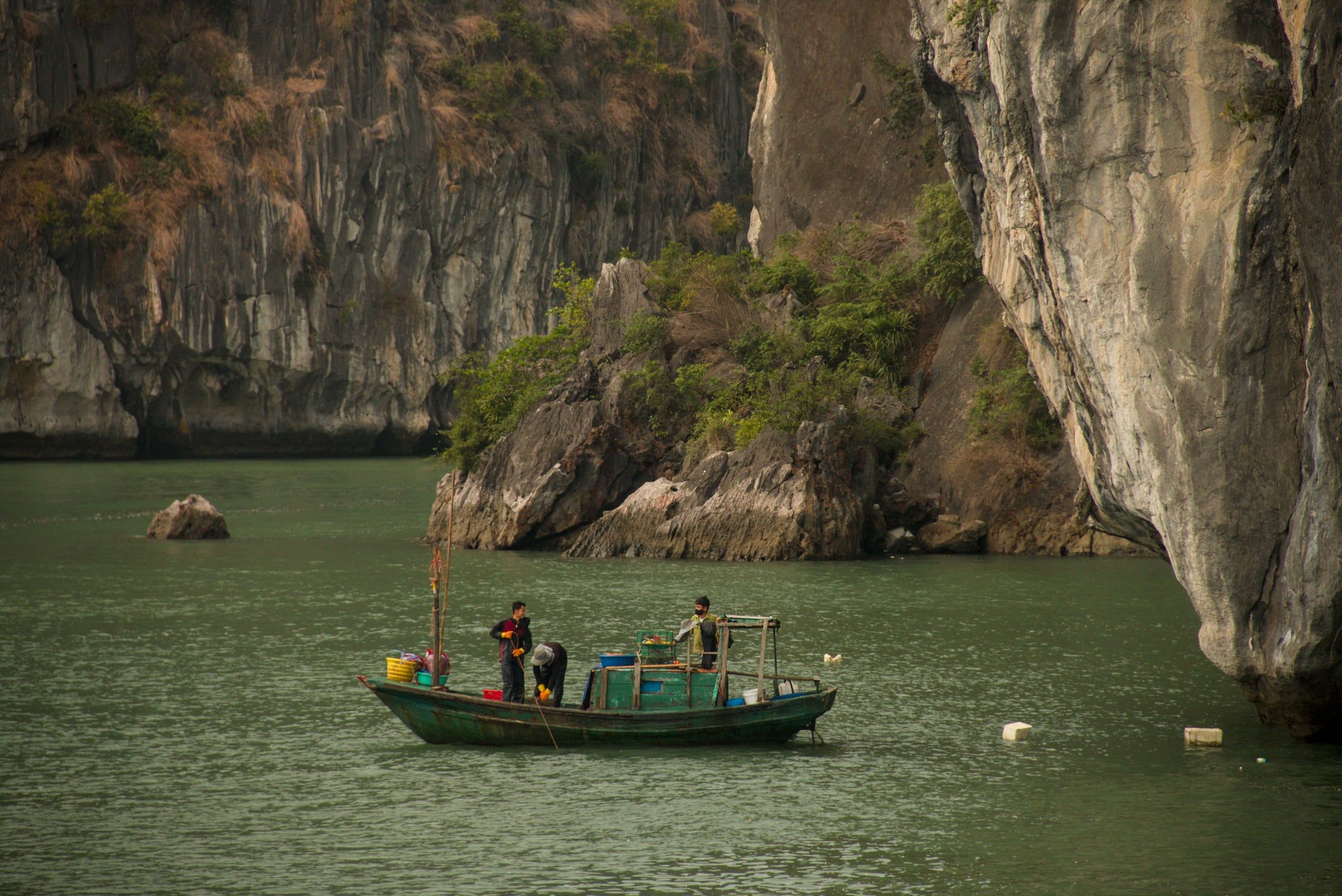
Vịnh Bái Tử Long A small green fishing boat with three people aboard lies on calm green water below limestone cliffs in Bái Tử Long Bay. Photo: Benjamin Smith, CC BY-SA 4.0 -
Vịnh Bái Tử Long Rowing boats of visitors approach a low limestone arch beneath a wooded cliff on green water in Bái Tử Long Bay.
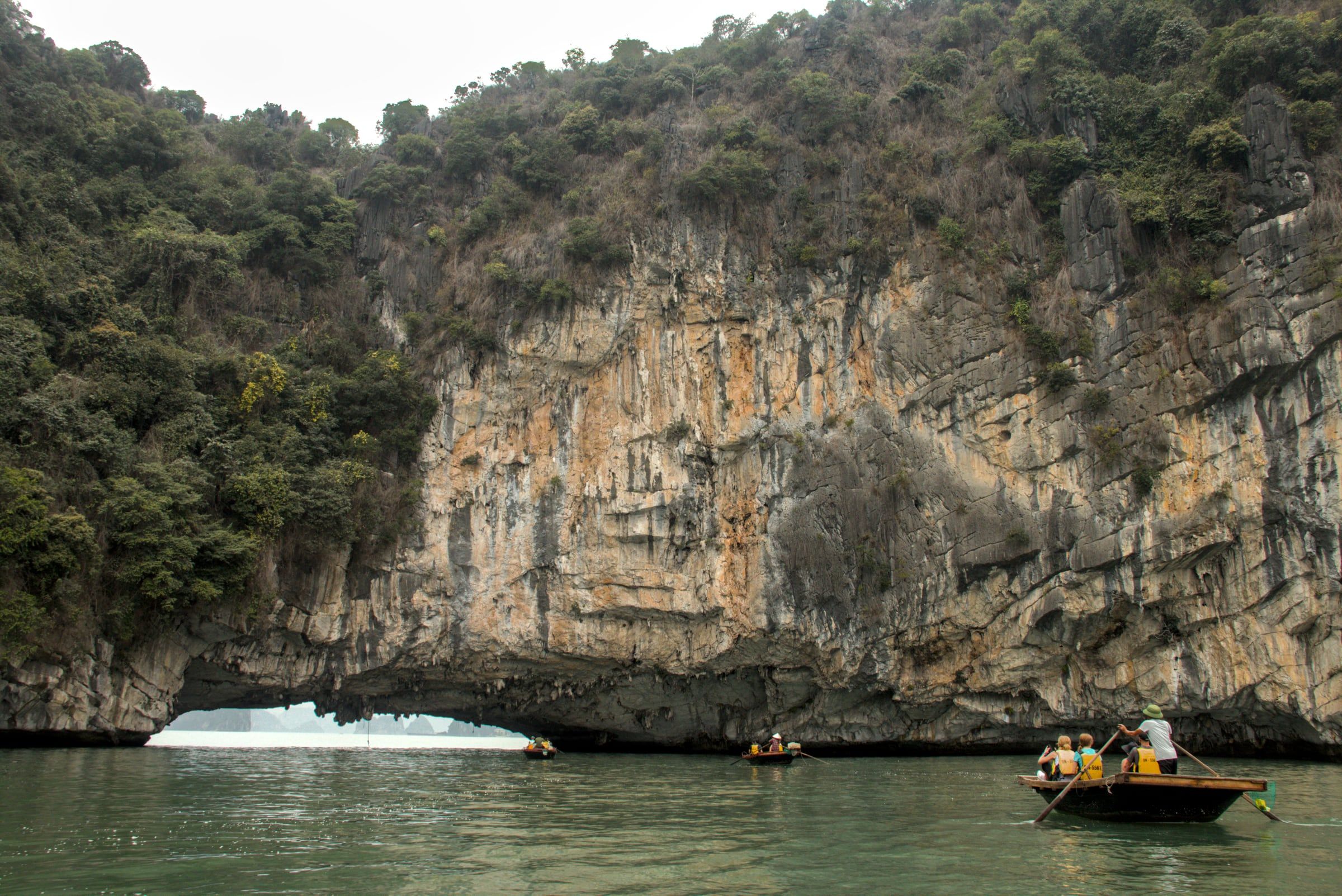
Vịnh Bái Tử Long Rowing boats of visitors approach a low limestone arch beneath a wooded cliff on green water in Bái Tử Long Bay. Photo: Benjamin Smith, CC BY-SA 4.0 -
Vịnh Bái Tử Long Floating huts on blue barrel pontoons below a forested limestone hill in Bái Tử Long Bay, April 2023.
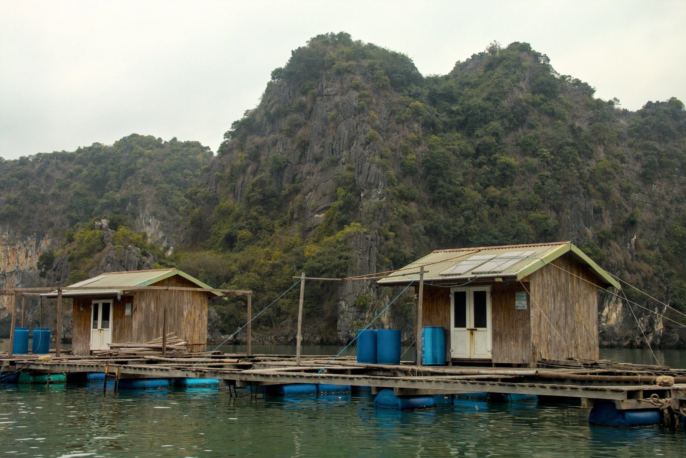
Vịnh Bái Tử Long Floating huts on blue barrel pontoons below a forested limestone hill in Bái Tử Long Bay, April 2023. Photo: Benjamin Smith, CC BY-SA 4.0 -
Bãi Sơn Hào, Vân Đồn Surf on the sand of Sơn Hào Beach on Cao Lôn Island, in Quan Lạn commune, Vân Đồn.
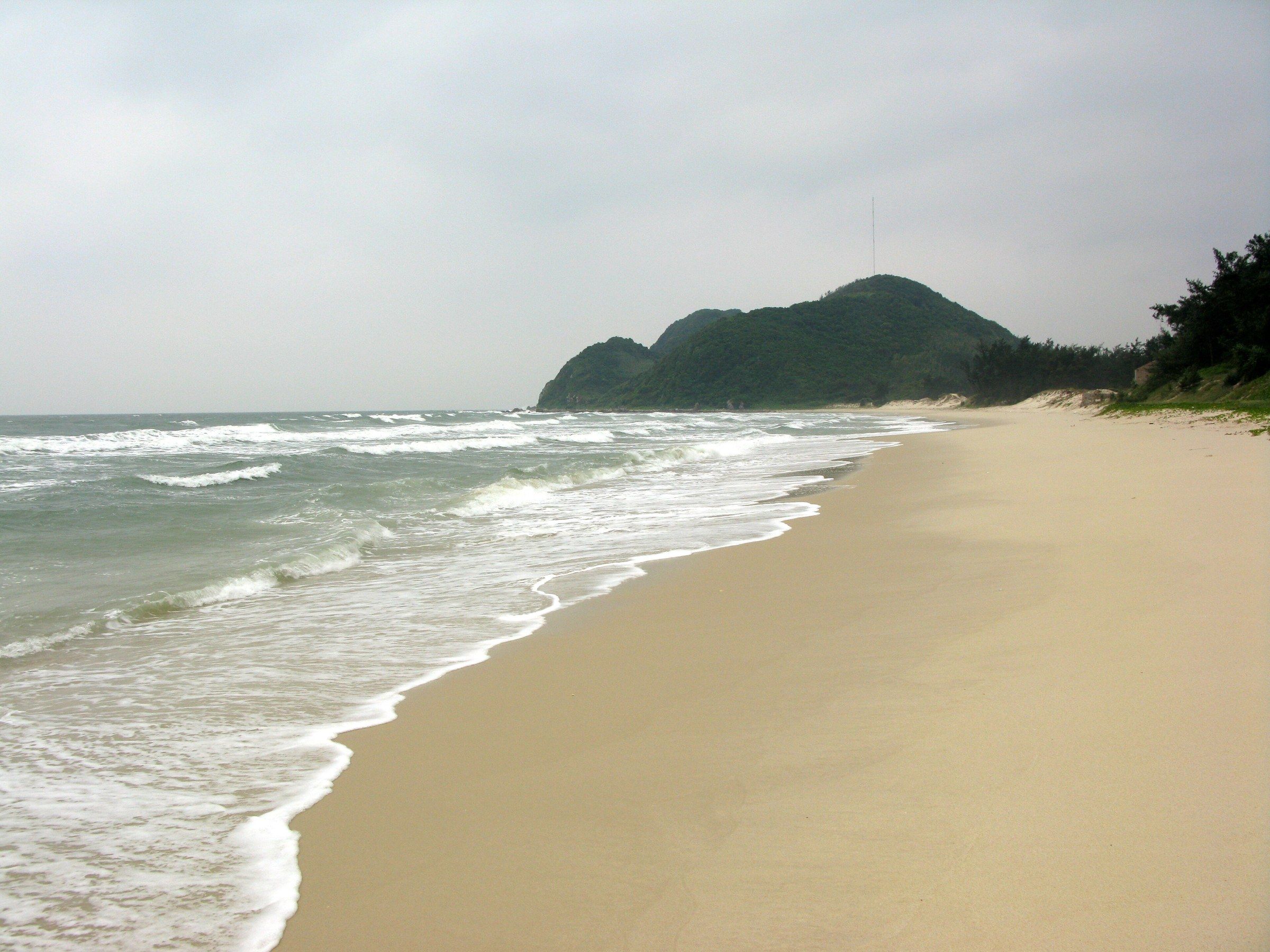
Bãi Sơn Hào, Vân Đồn Surf on the sand of Sơn Hào Beach on Cao Lôn Island, in Quan Lạn commune, Vân Đồn. Photo: Phó Nháy, Public domain -
Bãi biển Minh Châu, Vân Đồn People paddle and swim in the shallows of Minh Châu Beach in the late afternoon, with two wooded hills across the water.
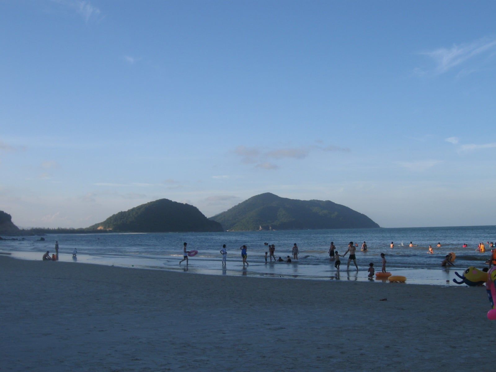
Bãi biển Minh Châu, Vân Đồn People paddle and swim in the shallows of Minh Châu Beach in the late afternoon, with two wooded hills across the water. Photo: Handyhuy, CC BY-SA 3.0 -
Đảo Quan Lạn, Vân Đồn The communal house (đình) on Quan Lạn Island, with a tiled roof and an open yard.
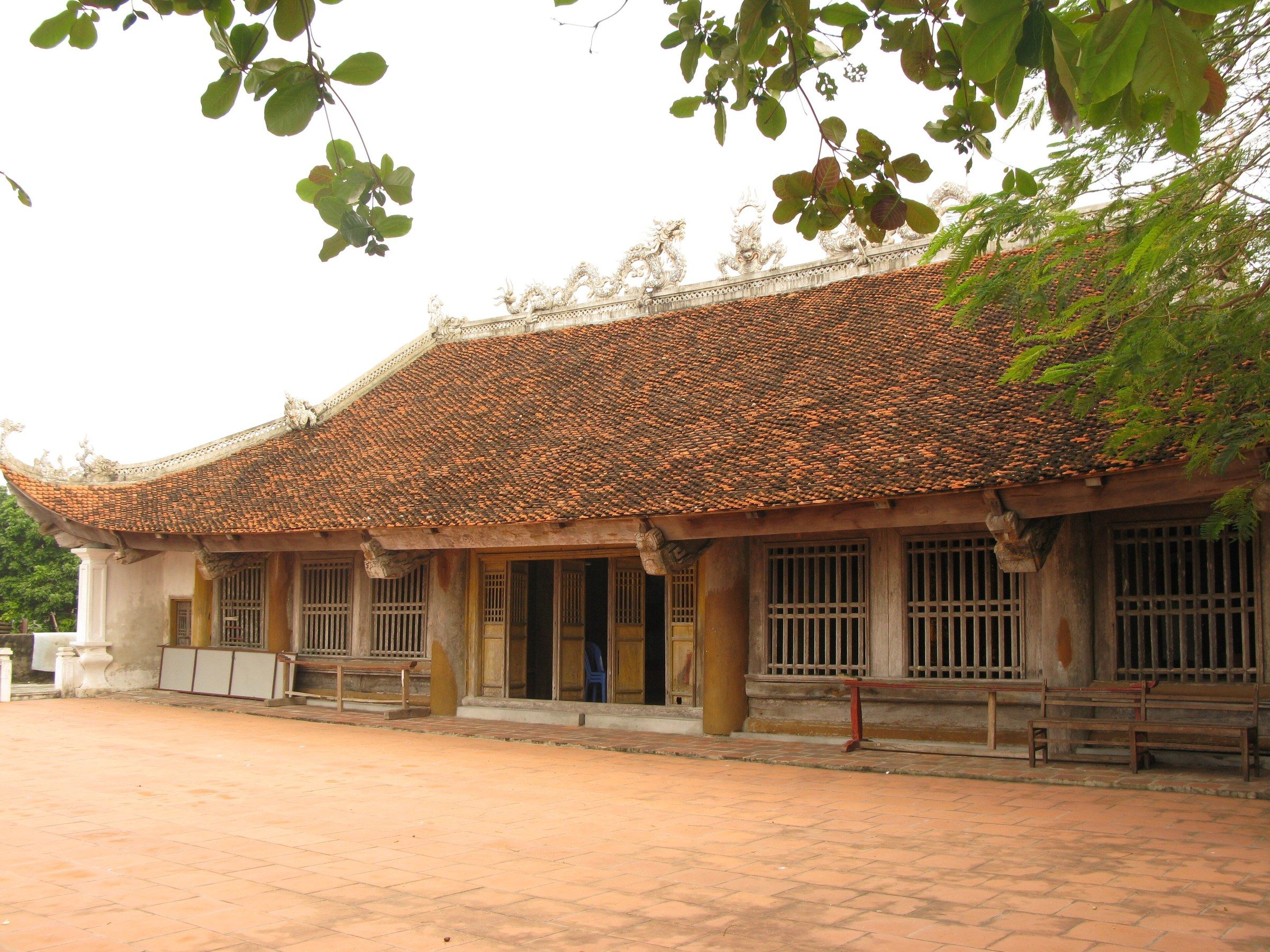
Đảo Quan Lạn, Vân Đồn The communal house (đình) on Quan Lạn Island, with a tiled roof and an open yard. Photo: Phó Nháy, Public domain -
Đảo Quan Lạn, Vân Đồn Red lacquered pillars and carved timber roof beams inside the Quan Lạn communal house.
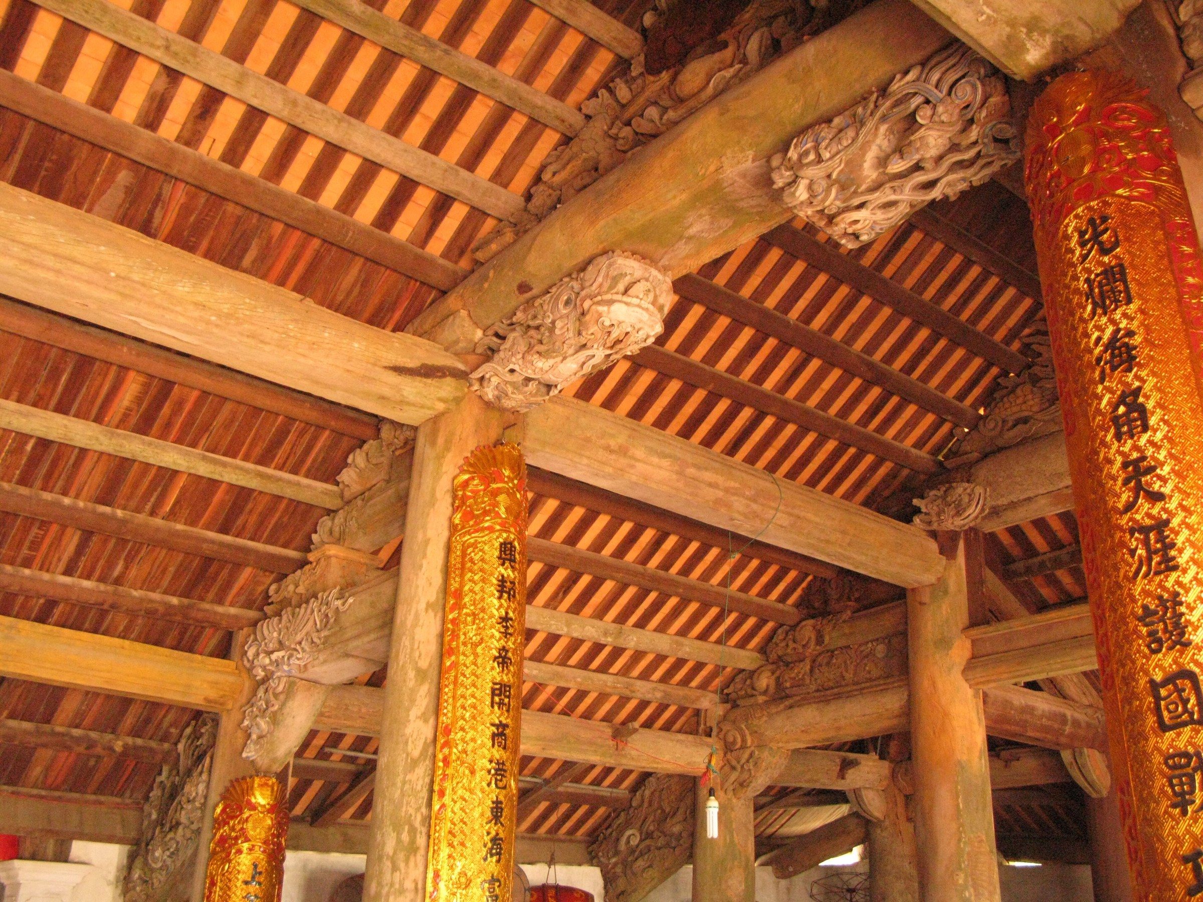
Đảo Quan Lạn, Vân Đồn Red lacquered pillars and carved timber roof beams inside the Quan Lạn communal house. Photo: Phó Nháy, Public domain
These 34 photographs show the neighbouring places, which are separate from Ha Long Bay: Lan Hạ Bay and its floating village of Cái Bèo, Cát Bà Island with its ferry, town, market, fort and national park, and Bái Tử Long Bay with its beaches. Lan Hạ and Cát Bà are in Hải Phòng, and Bái Tử Long lies north-east of Ha Long Bay, outside the World Heritage property.
The two kayak photographs from Cát Bà were taken on 6 June 2017; kayak and rowing-boat services in the Cát Bà archipelago have been halted since 15 November 2024. The Cát Bà langur, Critically Endangered, lives only on the Cát Bà archipelago and numbered more than 90 in September 2024. How the three bays compare is on Lan Ha Bay or Ha Long Bay?.
Seasons and weather
-
Vịnh Hạ Long Limestone islands fading into dense fog on Hạ Long Bay in March 2008.
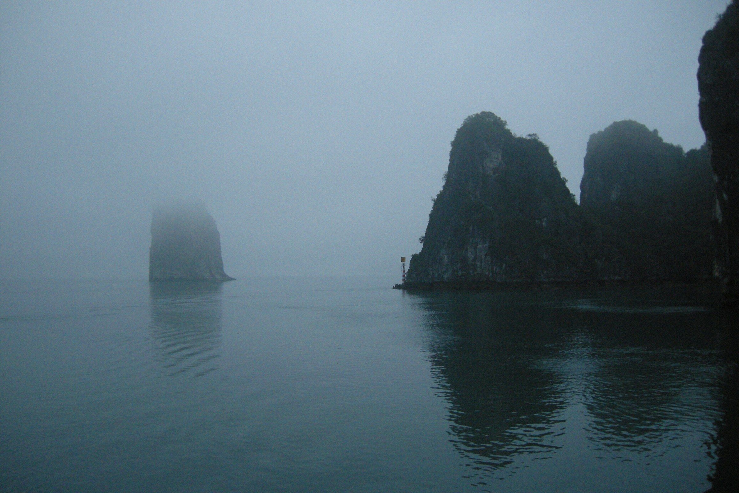
Vịnh Hạ Long Limestone islands fading into dense fog on Hạ Long Bay in March 2008. Photo: Vyacheslav Argenberg, CC BY 4.0 -
Cầu Bãi Cháy, Hạ Long The Bãi Cháy Bridge barely visible through rain and low cloud over choppy water, August 2006.
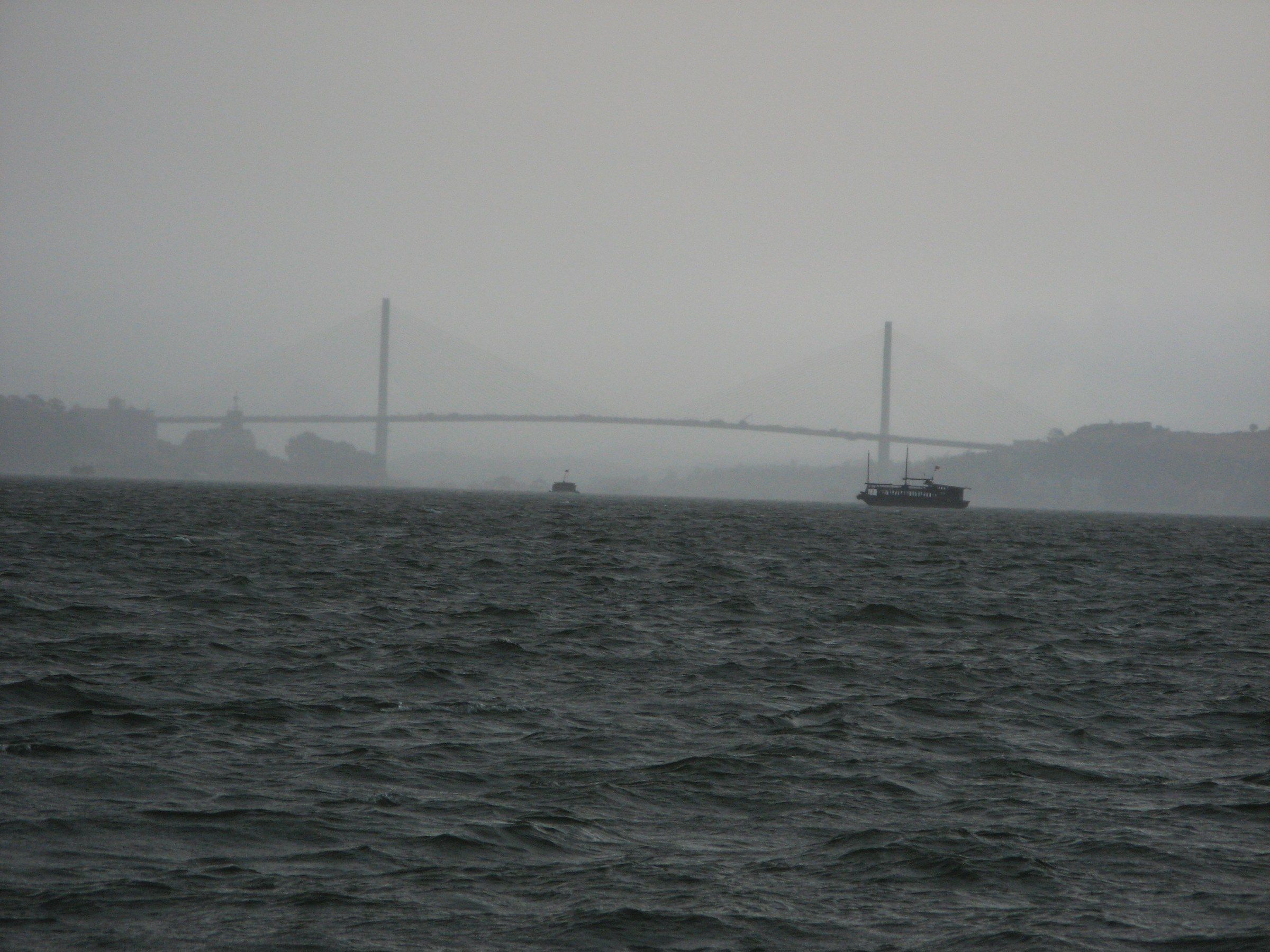
Cầu Bãi Cháy, Hạ Long The Bãi Cháy Bridge barely visible through rain and low cloud over choppy water, August 2006. Photo: William Whyte, CC BY-SA 2.0 -
Cầu Bãi Cháy, Hạ Long The Bãi Cháy Bridge in hazy light at sunset, seen from the Hạ Long waterfront.
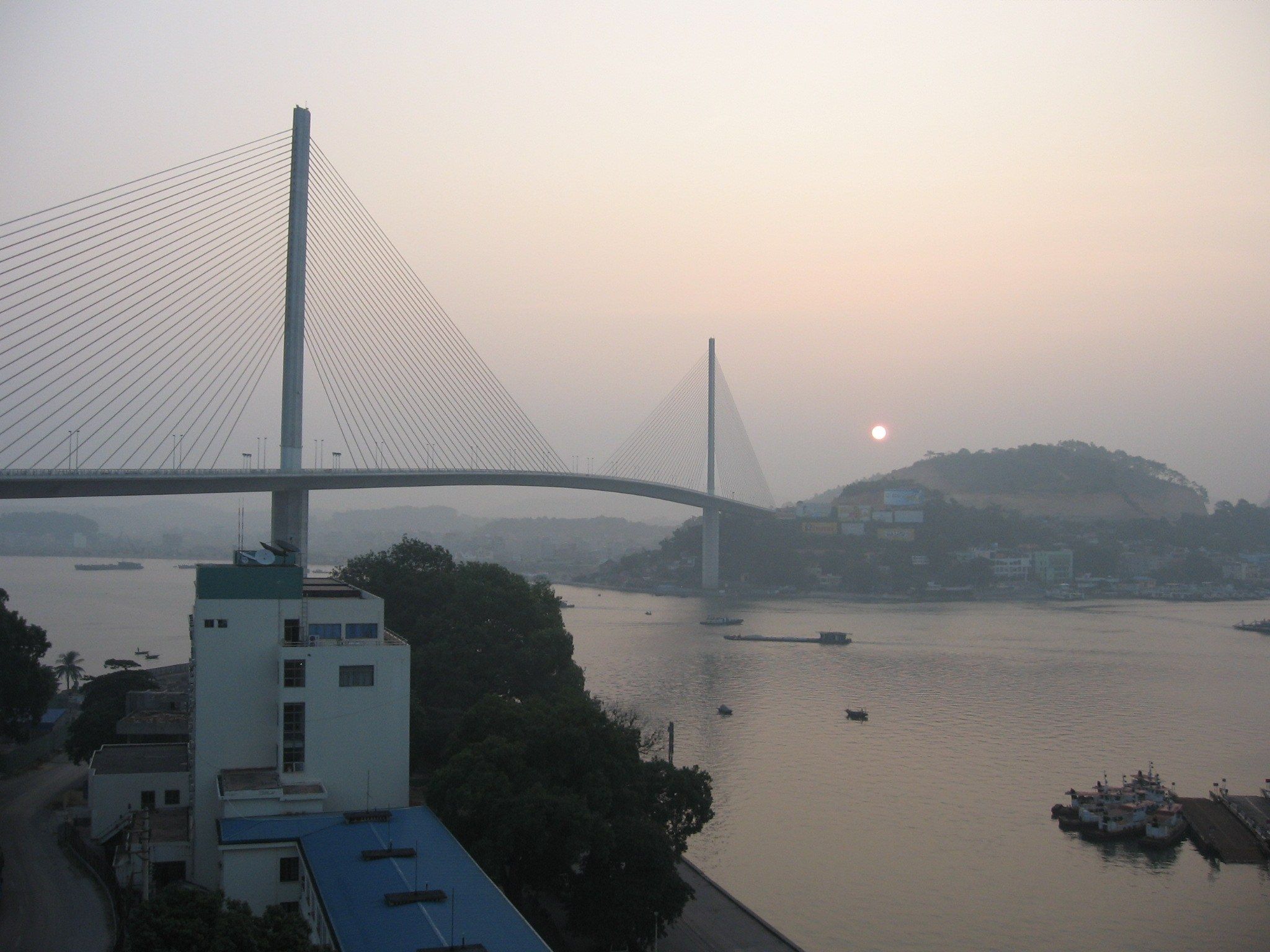
Cầu Bãi Cháy, Hạ Long The Bãi Cháy Bridge in hazy light at sunset, seen from the Hạ Long waterfront. Photo: Colin W, CC BY-SA 3.0 -
Bãi Cháy, Hạ Long Bãi Cháy at dusk in September 2023, with a cable car pylon at left and high-rise buildings along the shore.
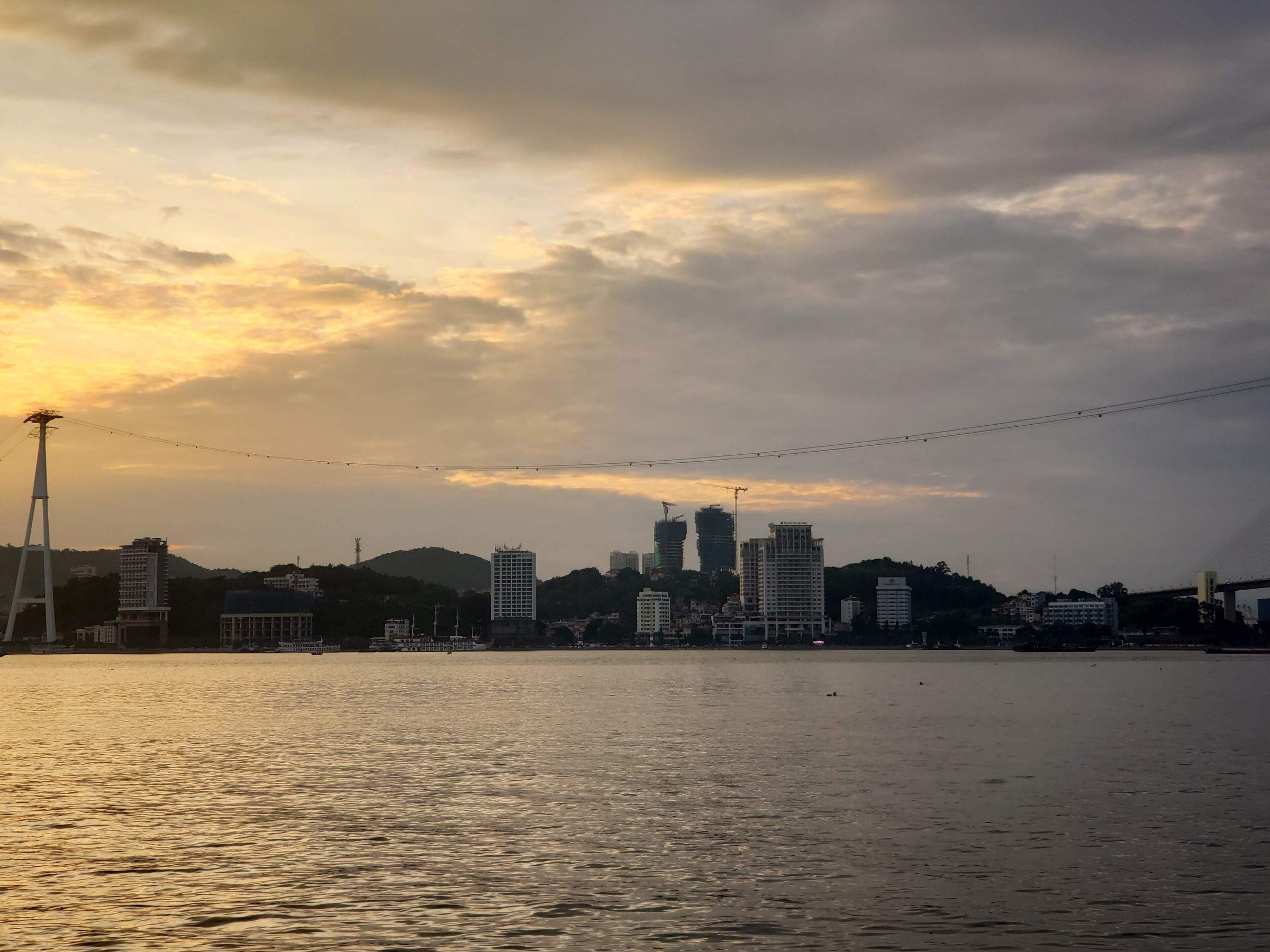
Bãi Cháy, Hạ Long Bãi Cháy at dusk in September 2023, with a cable car pylon at left and high-rise buildings along the shore. Photo: Pdhadam, CC BY-SA 4.0 -
Cái Bèo, đảo Cát Bà A blue and red fishing boat near Cái Bèo village on Cát Bà Island, with misty limestone hills behind, in January 2024.
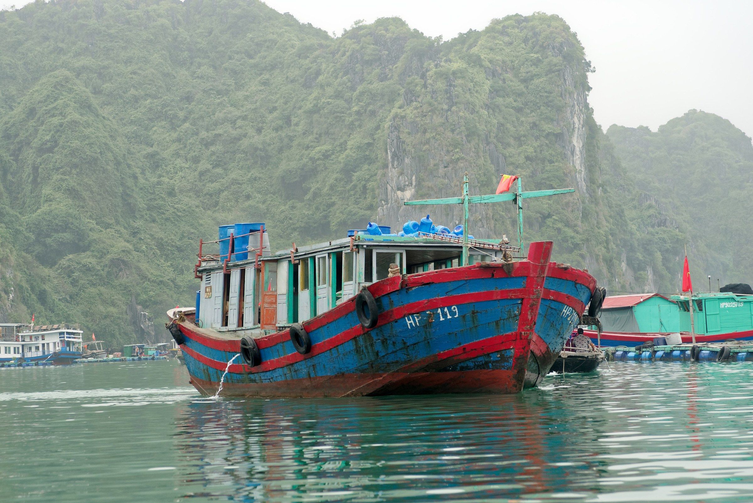
Cái Bèo, đảo Cát Bà A blue and red fishing boat near Cái Bèo village on Cát Bà Island, with misty limestone hills behind, in January 2024. Photo: Jakub Hałun, CC BY 4.0 -
Cảng Cát Bà A blue fishing boat in Cát Bà harbour on a misty December afternoon in 2008.
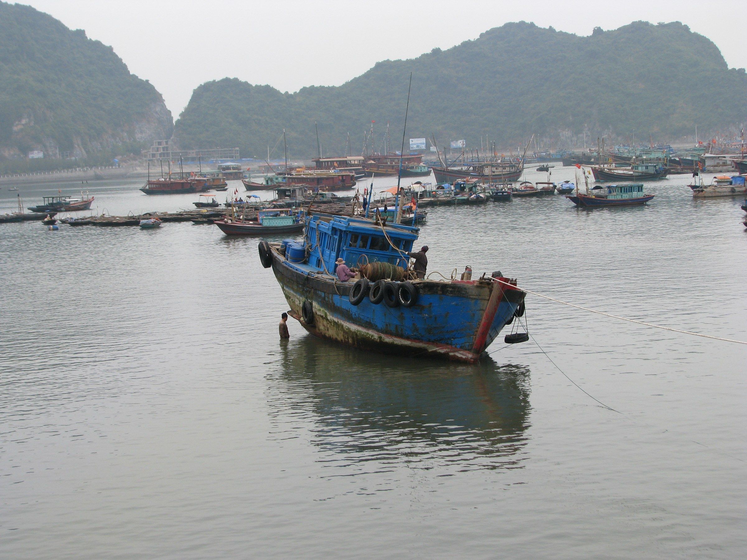
Cảng Cát Bà A blue fishing boat in Cát Bà harbour on a misty December afternoon in 2008. Photo: McKay Savage, CC BY 2.0 -
Vườn quốc gia Cát Bà Low cloud over limestone hills beyond a dry seasonal lake bed in Cát Bà National Park, January 2024.
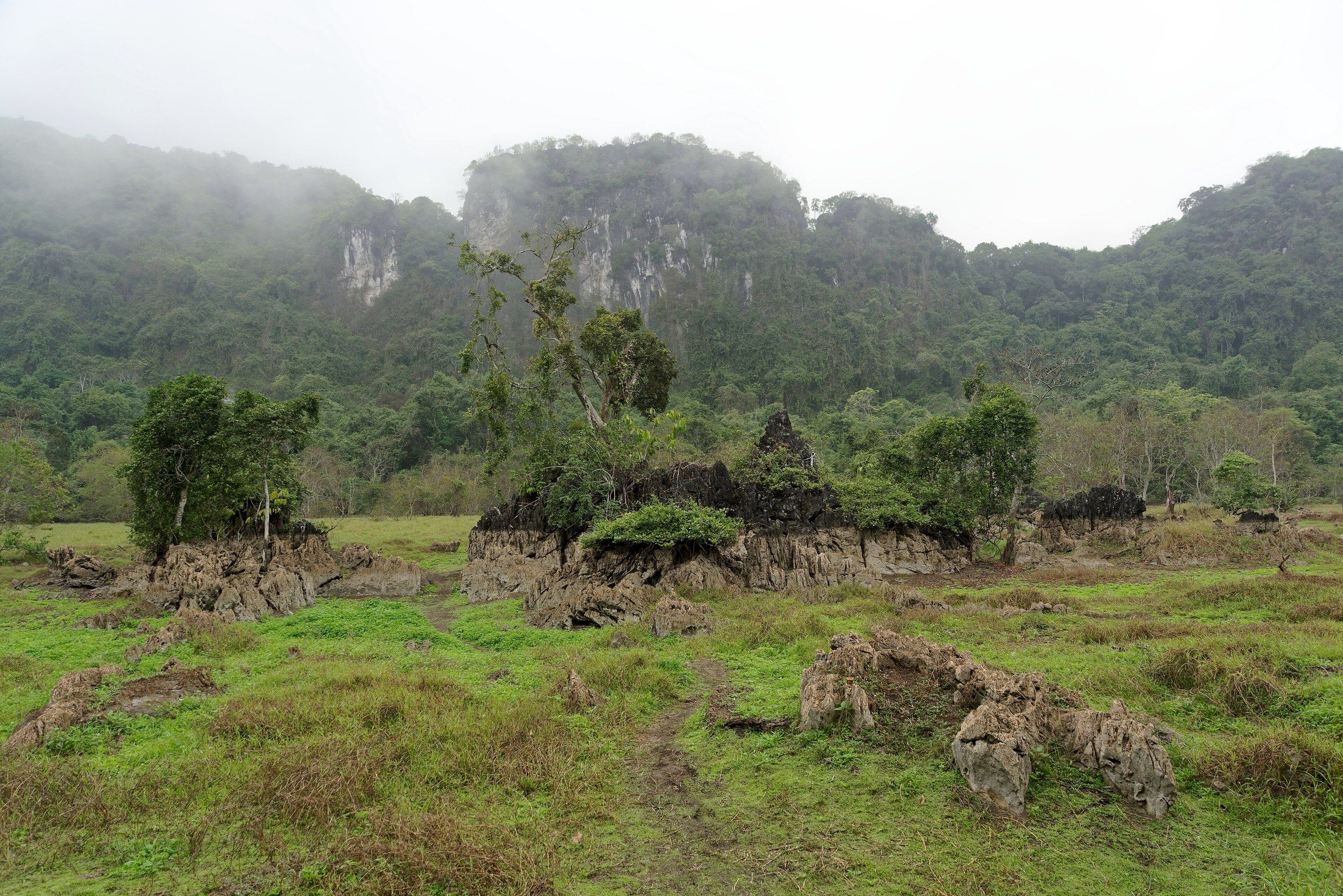
Vườn quốc gia Cát Bà Low cloud over limestone hills beyond a dry seasonal lake bed in Cát Bà National Park, January 2024. Photo: Jakub Hałun, CC BY 4.0 -
Làng Việt Hải, Cát Bà Paddy fields below mist-covered hills at Việt Hải, Cát Bà Island, in January 2024.
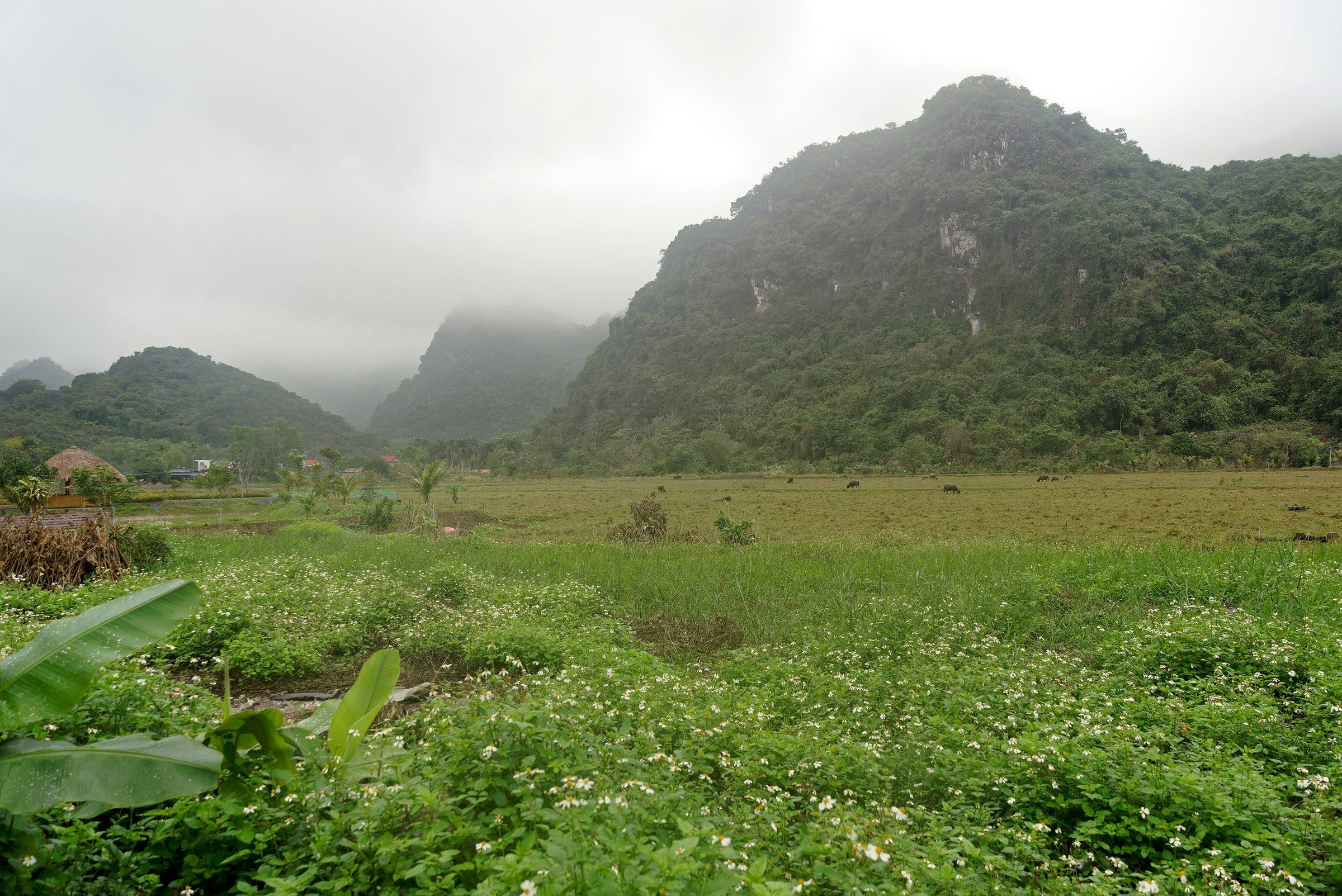
Làng Việt Hải, Cát Bà Paddy fields below mist-covered hills at Việt Hải, Cát Bà Island, in January 2024. Photo: Jakub Hałun, CC BY 4.0 -
Vịnh Lan Hạ Two limestone rock stacks rising from calm water in Lan Hạ Bay under an overcast sky, November 2023.
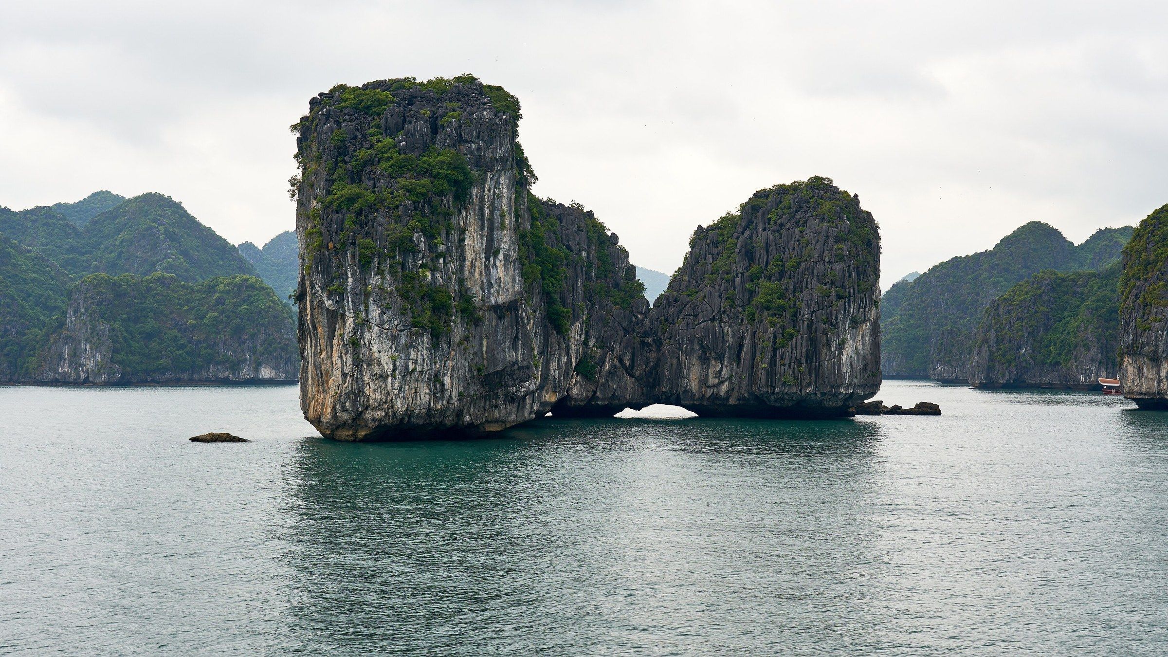
Vịnh Lan Hạ Two limestone rock stacks rising from calm water in Lan Hạ Bay under an overcast sky, November 2023. Photo: Radek Kucharski, CC BY 2.0 -
Vịnh Bái Tử Long Dark cloud building over limestone islands in Bái Tử Long Bay.
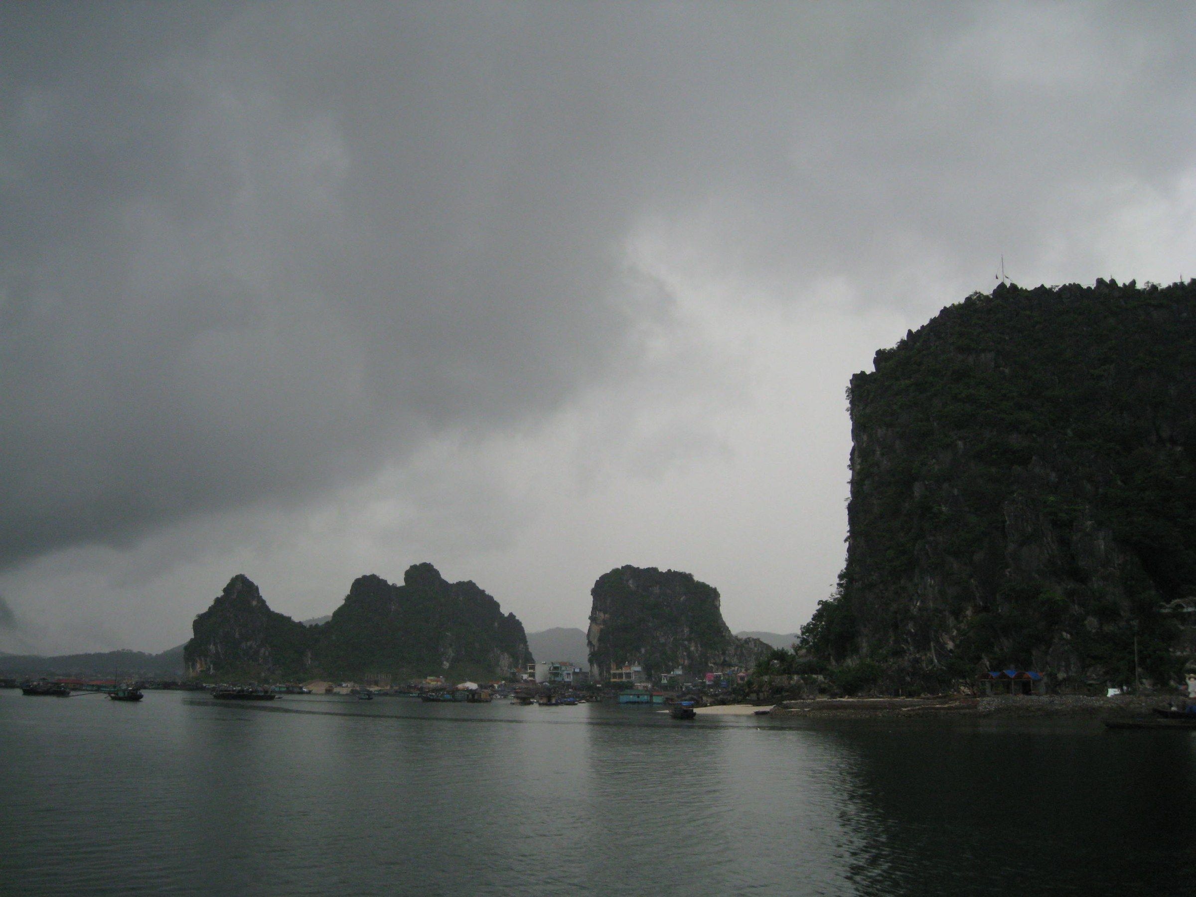
Vịnh Bái Tử Long Dark cloud building over limestone islands in Bái Tử Long Bay. Photo: Viethavvh, CC BY-SA 3.0
These 10 photographs show fog, mist, rain and storm cloud over the bay and its neighbours, and dusk and haze over the Hạ Long shore. February and March are the greyest months at Bãi Cháy, with drizzle on 6.9 and 9.8 days, and August is the wettest, with 430.5 mm of rain. The fog over the islands was photographed on 17 March 2008 and the rain squall on the bridge on 10 August 2006. Month-by-month figures are on the weather page.
Using these photos
Every photograph is by a named photographer or archive and is either under an open licence or in the public domain. Each photograph’s credit, with its licence, is listed on the photo credits page.
| Licence | Photographs |
|---|---|
| CC BY-SA 4.0 | 50 |
| CC BY 2.0 | 26 |
| CC BY 4.0 | 19 |
| Public domain | 14 |
| CC BY-SA 2.0 | 11 |
| CC0 | 10 |
| CC BY-SA 3.0 | 9 |
| CC BY 3.0 | 3 |
| CC BY 2.5 | 1 |
| CC BY-SA 3.0 IGO | 1 |
All 144 photographs come from Wikimedia Commons. 24 are in the public domain or dedicated to it, and the other 120 carry Creative Commons conditions that the credits page sets out for each one. They date from 1885 to 2025: the oldest are two views by André Salles, and the newest dated one was photographed on 11 April 2025. On this site 137 were resized and 7 were cropped and resized; nothing else was changed. This guide’s authors did not take them.
Questions visitors ask
Who took the photographs on this page?
Named photographers, archives and agencies: the credits carry 73 names, from André Salles in 1885 to photographers working in 2025. Each credit and licence is on the photo credits page.
How are the photographs licensed?
All 144 come from Wikimedia Commons: 50 CC BY-SA 4.0, 26 CC BY 2.0, 19 CC BY 4.0, 14 Public domain, 11 CC BY-SA 2.0, 10 CC0, 9 CC BY-SA 3.0, 3 CC BY 3.0, 1 CC BY 2.5, 1 CC BY-SA 3.0 IGO. See the photo credits.
Where were the photographs taken?
86 show Ha Long Bay itself and 18 the Hạ Long shore (Bãi Cháy, Hồng Gai and Tuần Châu). The other 40 show the neighbouring areas of Lan Hạ Bay, Cát Bà Island and Bái Tử Long Bay, which are separate places. See the caves and the floating villages.
How old are the photographs?
The oldest are two views by André Salles from 1885, and the newest dated photograph was taken on 11 April 2025; 9 have no date.
Do the photographs show the bay as it is today?
Not always. Places change after a photograph is taken: the floating villages were moved ashore in 2014, and kayaking in the Cát Bà archipelago has been halted since 15 November 2024, so check the dated captions and the guide’s current pages.
Sources
Facts checked- Wikimedia Commons, File pages and EXIF data of the 144 photographs, read 3 October 2026.
- Ha Long Bay - Yen Tu World Heritage Management Board, Vị trí địa lý (location, area and island count), updated 6 November 2024.
- Ha Long Bay - Yen Tu World Heritage Management Board, Đảo Ti Tốp, Maldives thu nhỏ giữa lòng vịnh Hạ Long, 2 August 2026.
- Báo Quảng Ninh, Ti Tốp, hòn đảo ghi dấu tình hữu nghị Việt - Nga, 7 November 2017.
- Ha Long Bay - Yen Tu World Heritage Management Board, Hòn Trống Mái, Hang Sửng Sốt, Động Thiên Cung, Hang Đầu Gỗ and Hang Luồn (place pages).
- Báo Quảng Ninh, Khám phá các hang động trên Vịnh Hạ Long, 30 December 2025.
- Ha Long Bay - Yen Tu World Heritage Management Board, 30 năm - một chặng đường di sản vịnh Hạ Long, updated 12 November 2024.
- Ha Long Bay - Yen Tu World Heritage Management Board, Ngọc trai Hạ Long: Hành trình từ nghề nuôi cấy kỳ công đến tuyệt tác trang sức di sản biển, 18 June 2026.
- Ha Long Bay - Yen Tu World Heritage Management Board, Dịch vụ chèo đò, chèo kayak (rowing and kayak services), updated 9 November 2024.
- Báo Quảng Ninh, Nâng chất đội tàu du lịch trên Vịnh Hạ Long, 16 August 2025.
- VnExpress, Cầu Bãi Cháy sau hơn 10 năm vận hành, 22 November 2019.
- VietnamPlus, Quang Ninh Museum showcases art, historical values, 16 July 2024.
- Tuổi Trẻ, Cát Bà dừng hoạt động chèo thuyền kayak trên vịnh, 20 November 2024.
- VnExpress, Quần thể voọc Cát Bà tăng lên hơn 90 con, 2 September 2024.
- Ministry of Construction, QCVN 02:2022/BXD, natural conditions data for construction (Bãi Cháy station), 26 September 2022.
Prices, fees and timetables change. Figures on this page were checked in the month shown on the postmark.