Ha Long Bay history, legend and geology
The rock is roughly 350 to 260 million years old, and the sea flooded it after the last ice age. People have lived here for 18,000 years.
How was Ha Long Bay formed?
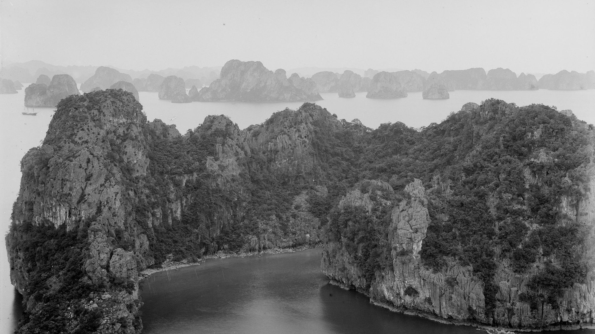
Ha Long Bay is a limestone tower landscape that the sea has partly drowned. The rock was laid down in a warm sea roughly 350 to 260 million years ago, lifted when the Eurasian and Indo-Australian plates collided, and worn into cones and towers by water in a hot, wet climate. The sea flooded that landscape after the last ice age, so the rock is hundreds of millions of years old and the seascape only some thousands of years old.
- Laid down in a warm sea Limestone builds up on the floor of a warm sea, roughly 350 to 260 million years ago.
- Lifted Colliding plates raise the limestone above the sea; NASA dates the uplift to about 40 million years ago.
- Carved by water Rain and rivers wear the rock into towers, cones, caves and sinkholes; UNESCO dates the present phase to the Pliocene.
- Flooded After the last ice age the sea rises by more than 125 m and drowns the valleys between the towers.
- Cut at the waterline Waves and dissolving seawater cut notches at today's sea level, and drowned sinkholes become marine lakes.
The limestone is about 1,000 m thick in the area, with folds and faults visible in the cliffs, and coral fossils of the early Carboniferous have been found in it. NASA puts the laying down at about 390 to 260 million years ago and a Board page gives the limestone of Hang Đầu Gỗ an age of 340 to 360 million years, so the safe statement is the range. Thick limestone, a hot wet climate and slow uplift together produced what geologists call a mature karst: a landscape shaped by water slowly dissolving rock.
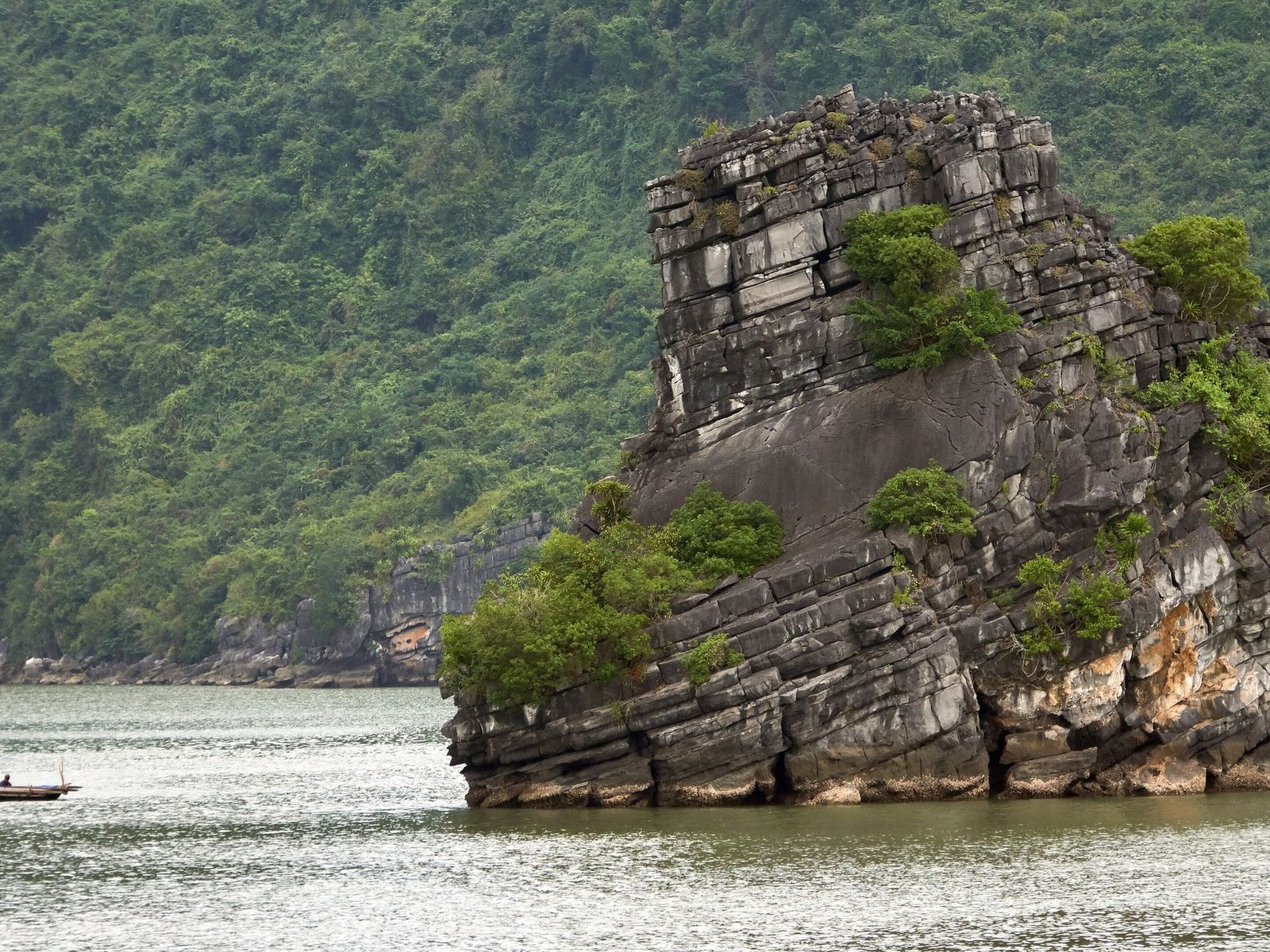
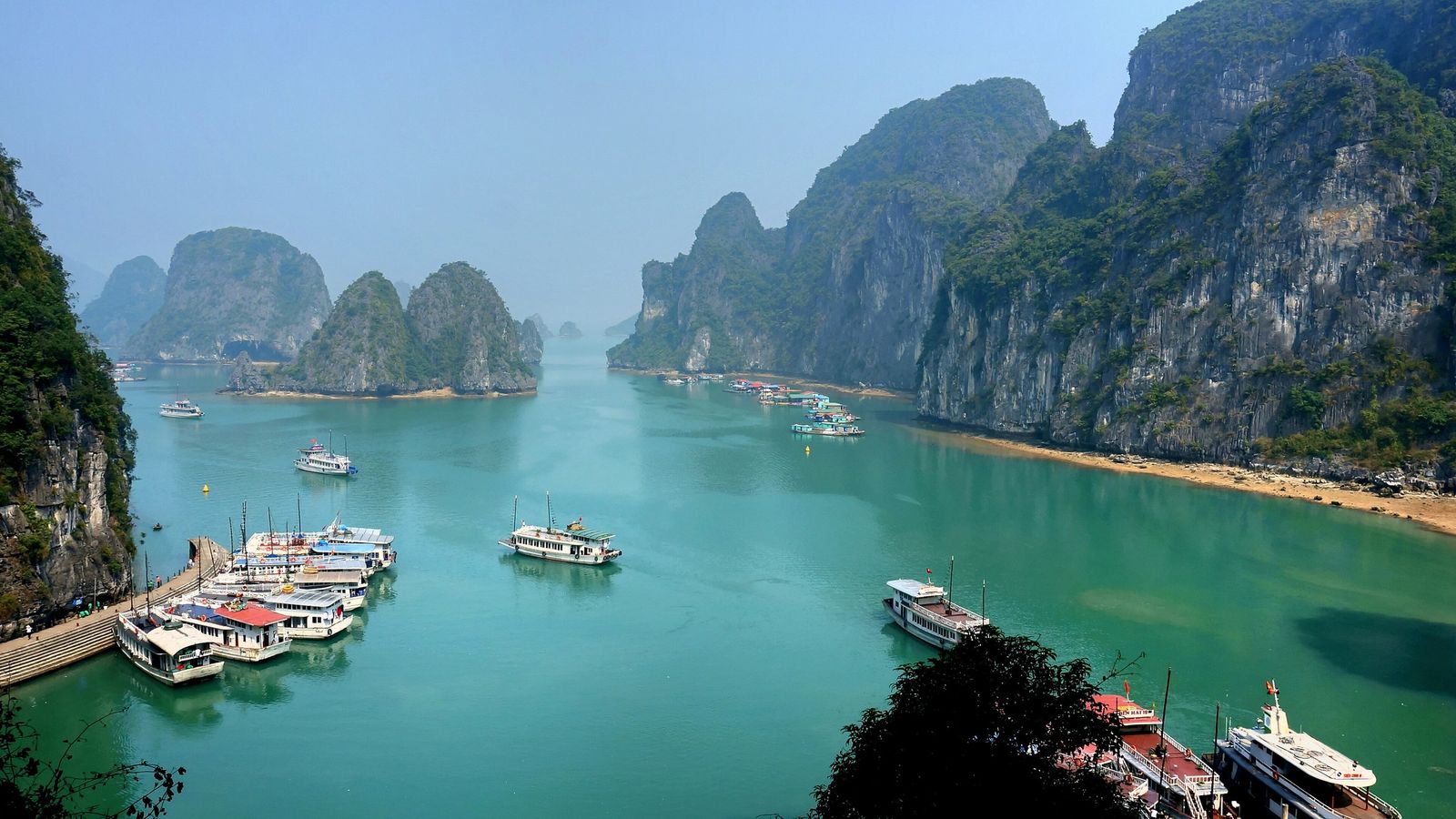
Two Chinese terms describe what was left. Fenglin, “peak forest”, means steep limestone towers standing alone, and the smaller islands of the bay are towers like this, 50 to 100 m high and up to about six times higher than they are wide. Fengcong, “peak cluster”, means rounded cones sharing a common base, and the larger islands carry them, with summits averaging about 100 m above the sea and a few over 200 m. The highest point of the whole World Heritage property is Cao Vọng peak on Cát Bà, at 322 m. UNESCO calls the bay the most extensive and best-known example of marine-invaded tower karst in the world: tower karst that formed on land and was then drowned by the rising sea.
The flooding is recent. Since the height of the last ice age, about 20,000 years ago, the sea has risen by more than 125 m, and the people of the bay lived through it: the Soi Nhụ people hunted on dry karst land, the Cái Bèo left shell middens that now sit 2 to 6 m above the sea, and the Hạ Long culture first retreated inland as the water rose.
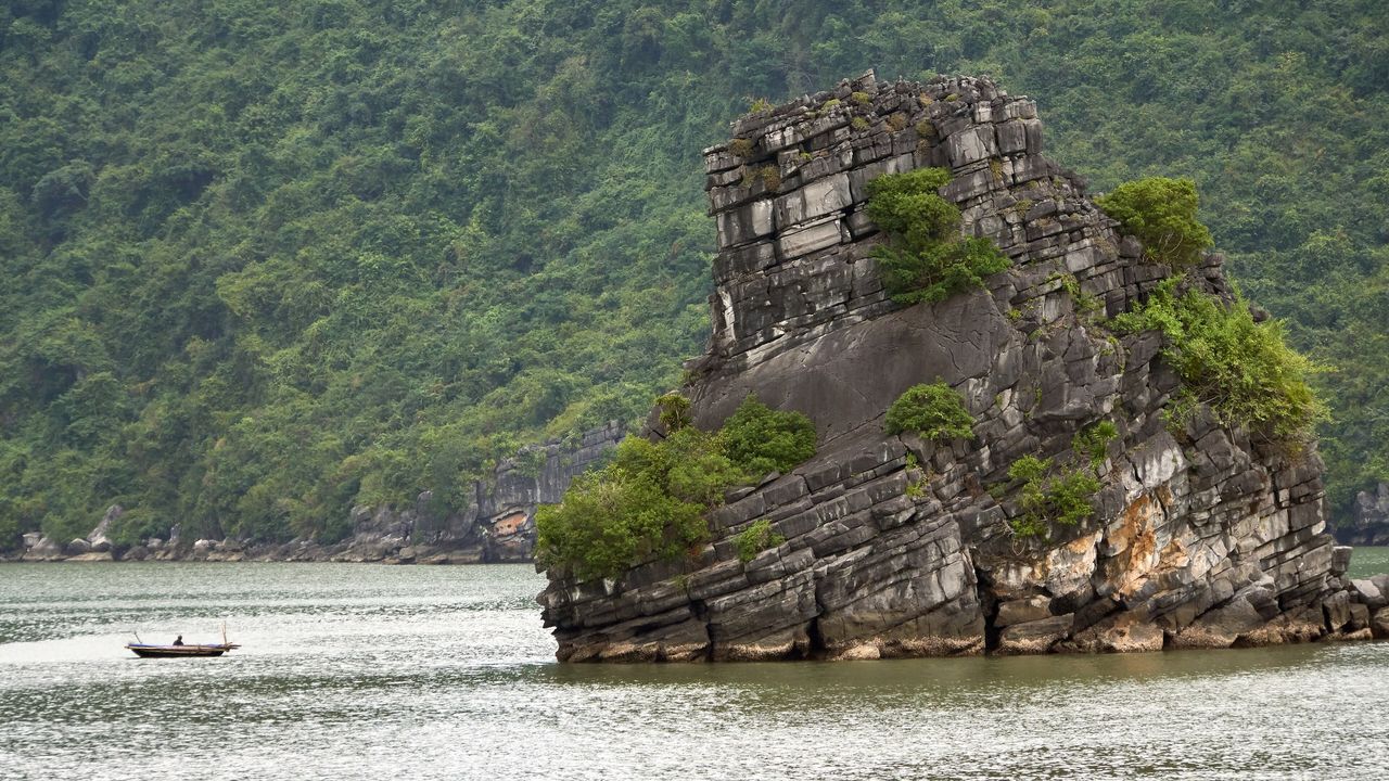
The sea is still at work. A single notch, hàm ếch biển or “frog’s mouth”, runs round almost the whole rocky shoreline at sea level, deepening in places into arches and tunnels such as Hang Luồn; cutting at the foot keeps the cliffs sheer, and notches higher up record older sea levels. Drowned sinkholes hold saltwater lakes, and IUCN counts 138 marine lakes mapped in the Hạ Long and Cát Bà property, about a third of the world’s total. The bay’s caves, old phreatic caves high in the cliffs, karst-foot caves at their base and notch caves at sea level, are compared on the caves page, and the towers themselves on the islands page.
-
About 350 to 260 million years ago
Limestone laid down
The limestone of the bay is laid down in a warm sea. It is late Palaeozoic, from the Carboniferous to the Permian.
-
About 40 million years ago
The limestone is lifted
NASA says faulting and plate-tectonic activity lift the limestone. UNESCO links the uplift to the collision of the Eurasian and Indo-Australian plates.
-
From about 20,000 years ago
The sea floods the karst
Since the height of the last ice age the sea has risen by more than 125 metres, drowning the valleys and sinkholes of the karst.
The words that describe all this, in plain English:
- Karst
- Landscape shaped by water slowly dissolving soluble rock such as limestone, giving caves, sinkholes and towers.
- Fengcong
- Groups of rounded, cone-shaped hills that share a common base (Chinese for "peak cluster"). UNESCO describes them as "clusters of conical peaks".
- Fenglin
- Steep, isolated limestone towers standing alone (Chinese for "peak forest"). UNESCO describes "isolated tower features".
- Cockpit
- A closed bowl between hills.
- Polje
- A large flat-floored valley that drains underground.
- Doline
- A bowl-shaped sinkhole. When the sea floods one it becomes a marine lake.
- Marine lake (hồ nước mặn)
- A saltwater lake in a drowned sinkhole, called tùng or áng locally.
- Notch (hàm ếch biển)
- A horizontal groove cut into a cliff at sea level by dissolving seawater and waves. Notches higher up the cliff record older sea levels.
- Phreatic cave (hang ngầm cổ)
- A cave dissolved below the old water table that now hangs high in a cliff.
- Karst foot cave (hang nền karst)
- A cave cut at the base of a cliff when a stream or the sea undercut it.
- Marine notch cave
- A cave where a notch cut at sea level deepens into the cliff. Some have a smooth, level ceiling cut at an old sea level.
- Marine-invaded tower karst
- Tower karst that formed on land and was then partly drowned by the rising sea. UNESCO calls Ha Long Bay the most extensive and best-known example in the world.
- Drowned karst
- A karst landscape whose valleys and sinkholes were drowned by repeated rises and falls of sea level.
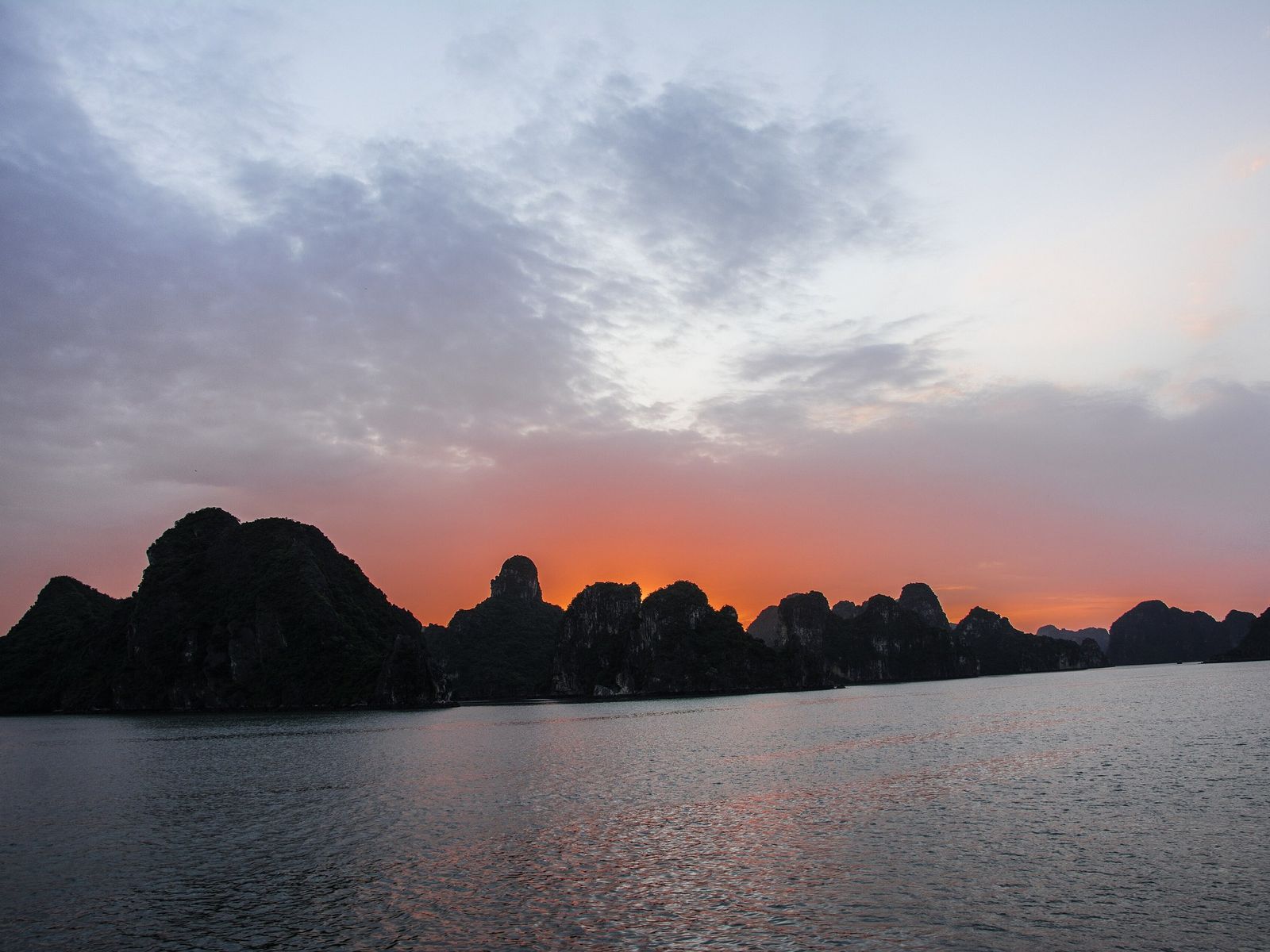
The colour of the water has a simple explanation. Seawater absorbs red light, which is why clear water looks blue, and near coasts particles and sediment change the colour. The bay is shallow, 5 to 10 m deep on average, sheltered and fed by six rivers, and its salinity swings from 21 to 22 parts per thousand in the rainy season to 32 to 33 in the dry season, so its jade-green tone and clarity change with the seasons. No study of the bay’s own water colour has been found, so this is the general explanation.
The legend of the descending dragon
According to the legend as the Board tells it, heaven sent a Mother Dragon and her young to help the Việt against foreign invaders, and as the enemy ships rushed the coast the dragons spat out jewels that became a wall of stone islands. The ships smashed into the rocks and into each other, and the dragons stayed on earth where the battle had been. Hạ Long means “dragon descends” or “descending dragon”, and in the legend it marks the place where the Mother Dragon came down.
The legend names the neighbouring waters too. Bái Tử Long, “the child dragons pay respects”, is where the young dragons came down; it is also a real bay to the north-east, outside the World Heritage property, covered on the Bai Tu Long Bay page. Long Vĩ, “the dragon’s tail”, is where their tails thrashed up white foam, and the Board identifies it with the Trà Cổ peninsula of Móng Cái, on the border with China. The Board links the story to the Việt origin legend of “Con Rồng cháu Tiên”.
The name itself is younger than the story suggests. The Board says Hạ Long is not recorded in old Vietnamese books before the 19th century; the bay had other names, among them Lục Thủy, An Bang and Hải Đông, and the name Hạ Long first appears at the end of the 19th century, on French charts of the Gulf of Tonkin. The earliest written source for the legend found so far is a book of 1989, and no pre-colonial text of it has been found.
The Board also tells a second origin story, which it treats as a local theory. A French-language newspaper in Hải Phòng reported that in 1898 the captain of the ship Avalanche and many sailors saw a pair of giant sea serpents in the bay, which Europeans likened to the Asian dragon, and the bay is said to have been named for the sighting. No French source from the time has been found.
Smaller legends cling to single places. In Động Thiên Cung the Dragon King’s son is said to have married Nàng Mây in a wedding of seven days and nights. Hòn Trống Mái, the Fighting Cocks, are two celestial birds sent to wake the dragons, which lingered over the scenery and were turned to stone. In Hang Hồ Động Tiên, fairies bathed in the lake.
Ha Long Bay as a World Heritage Site
Film by World Heritage Journey, shown from YouTube when you press play.
A four-minute film by an independent channel that visits World Heritage sites, with English captions. The presenter explains that Hạ Long means “descending dragon”, retells the legend of the dragon protecting Vietnam from invaders, then gives a simplified account of how plate movements, uplift and changing sea levels shaped the limestone, over footage of a boat trip, a cave and a rowing boat. It ends with kayaking, swimming and squid fishing.
Some of the presenter’s figures differ from the Board’s; the figures on this page follow the Board and UNESCO.
People of the bay: 18,000 years of history
People have lived around the bay for about 18,000 years. The Board names three prehistoric cultures in order, Soi Nhụ (18,000 to 7,000 years ago), Cái Bèo (7,000 to 5,000 years ago) and Hạ Long (4,500 to 3,500 years ago), and in 1149 King Lý Anh Tông set up the trading port of Vân Đồn on the islands of Bái Tử Long Bay.
-
About 18,000 to 7,000 years ago
Soi Nhụ culture
People live in coastal caves and on dry land, hunting, gathering and collecting freshwater snails with chipped stone tools, because the sea is far lower.
-
About 7,000 to 5,000 years ago
Cái Bèo culture
People settle the shores of sheltered, mountain-backed bays and turn first to the coastal sea. Their pottery goes from coarse and thick to finer, rope-marked ware.
-
About 4,500 to 3,500 years ago
Hạ Long culture
People move north-east and to higher ground as the sea rises, then return to caves and coastal footslopes as it falls back. Their pottery is turned on a wheel, and the Board calls the culture an early maritime culture.
-
938
Ngô Quyền defeats the Southern Han fleet
Ngô Quyền beats the Southern Han fleet with stakes set in the river. The battle is fought on the Bạch Đằng River, west of the bay.
-
981
Lê Hoàn defeats the Song
Lê Hoàn beats the Song. It is the second of the three Bạch Đằng victories, which were won on the Bạch Đằng River west of the bay.
-
1149
Vân Đồn trading port founded
Under King Lý Anh Tông the trading port of Vân Đồn is set up, a system of trading berths on many islands in Bái Tử Long Bay.
-
1288
Defeat of the Yuan-Mongol fleet
In late January a Yuan supply convoy is wrecked off Vân Đồn. On 9 April Trần Hưng Đạo beats the Yuan-Mongol fleet on the Bạch Đằng River.
-
Spring 1468
Poem cut on Bài Thơ mountain
King Lê Thánh Tông, touring the north-east coast, has a poem cut into the rock at the foot of Truyền Đăng mountain, which becomes Núi Bài Thơ, poem mountain. Lord Trịnh Cương has an answering poem carved in 1729.
The Soi Nhụ people lived in coastal caves and on what was then dry land, hunting, gathering and collecting freshwater snails with simply chipped stone tools. Their traces lie in several caves visitors can enter. Động Mê Cung has a shell midden 2 to 3 m thick at its entrance and a polished stone spear point about 30 cm long, found in 2008, that has been called the longest found in Vietnam. Shell layers can be seen on the walls of the lagoon at Hang Luồn, 3 to 4 m above the water, and since 2017 Hang Tiên Ông has held the bay’s only on-site archaeological exhibition, with two dig pits left open. Hang Trinh Nữ holds a Hạ Long culture layer about 4,500 years old.
The Cái Bèo turned to the coastal sea while still hunting and gathering, and their pottery went from coarse and thick to finer, rope-marked ware. The Hạ Long people were pushed north-east and uphill as the sea rose, then moved back down to the caves and shores as it fell, and by the end their pottery was turned on a wheel. The Board calls theirs an early maritime culture.
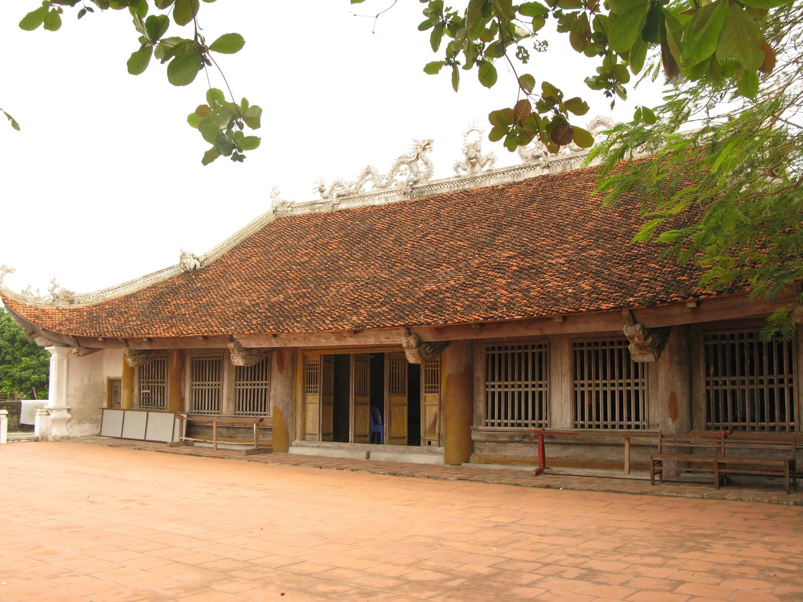
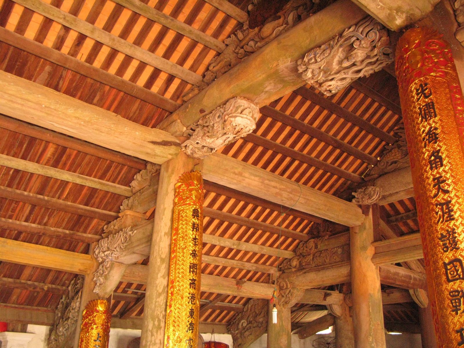
Vân Đồn, founded in 1149, was a system of trading berths on many islands rather than a single harbour. Old berths survive at Cống Đông, Cống Tây, Vân Hải and Quan Lạn, with tens of thousands of ceramic shards from the Lý, Trần, Lê and Mạc periods, beside communal houses, pagodas and temples. In the spring of 1468 King Lê Thánh Tông, touring the north-east coast, had a poem cut into the rock at the foot of a mountain in Hồng Gai, which became Núi Bài Thơ, “poem mountain”; only about half of its characters can still be read.
The battles of Bach Dang
The victories of 938, 981 and 1288 over invading fleets were won on the Bạch Đằng River, west of Ha Long Bay on today’s boundary between Quảng Ninh and Hải Phòng, so none of them was fought in the bay itself. In 938 Ngô Quyền beat the Southern Han fleet with stakes set in the river, in 981 Lê Hoàn beat the Song, and on 9 April 1288 Trần Hưng Đạo beat the Yuan-Mongol fleet in the same way.
The bay has two real links to the story. In late January 1288 Trần Khánh Dư’s fleet wrecked a Yuan supply convoy off Vân Đồn, in Bái Tử Long Bay, which left the Yuan army short of supplies before the April battle. And tradition says soldiers of the Trần hid their wooden stakes in Hang Đầu Gỗ, the “hidden wood” cave, although no stakes have been found there.
From French charts to Titov’s island
The name Hạ Long first appears on French charts at the end of the 19th century, and on 27 April 1888 a French company received a coal concession of 23,000 hectares. In the 20th century the bay saw talks aboard French warships in 1946 and 1948, several visits by Hồ Chí Minh, and on 5 August 1964 the first US air strikes on North Vietnam, which hit targets near Hòn Gai.
-
27 April 1888
French coal concession
The Société française des charbonnages du Tonkin is granted a concession of 23,000 hectares. Its output rises from 2,000 tonnes in 1890 to 2.6 million in 1939.
-
1898
Sea-serpent report
A French-language newspaper in Haiphong reports that a sub-lieutenant who captained the ship Avalanche, and many sailors, saw a pair of giant sea serpents in the bay. The bay is said to have been named for the sighting, which is a local theory.
-
End of the 19th century
The name Hạ Long appears
The name Hạ Long first appears on French nautical charts of the Gulf of Tonkin. The Board says it is not recorded in old Vietnamese books before the 19th century.
-
2 May 1918
King Khải Định at Hang Đầu Gỗ
With Governor-General Albert Sarraut, King Khải Định visits the cave, names it "Ngũ Sắc Tường Vân" and leaves a poem on a stele at the entrance.
-
24 March 1946
Talks aboard the Émile Bertin
President Hồ Chí Minh holds talks with the French High Commissioner Thierry d'Argenlieu aboard the cruiser Émile Bertin in the bay.
-
5 June 1948
Accords signed in the bay
Accords between France and the former emperor Bảo Đại are signed aboard a French warship in the bay.
-
Late April 1955
French troops withdraw
French troops withdraw from the mining area. The Board's caption gives 24 April 1955 and a Hạ Long street name gives 25 April, so the date is given as late April.
-
October 1957
Hồ Chí Minh tours the bay
Hồ Chí Minh visits the Hồng Quảng zone, speaks to the people of Hòn Gai and tours the bay by boat. The same month he climbs the 90 steps to Hang Đầu Gỗ.
-
22 January 1962
Titov Island named
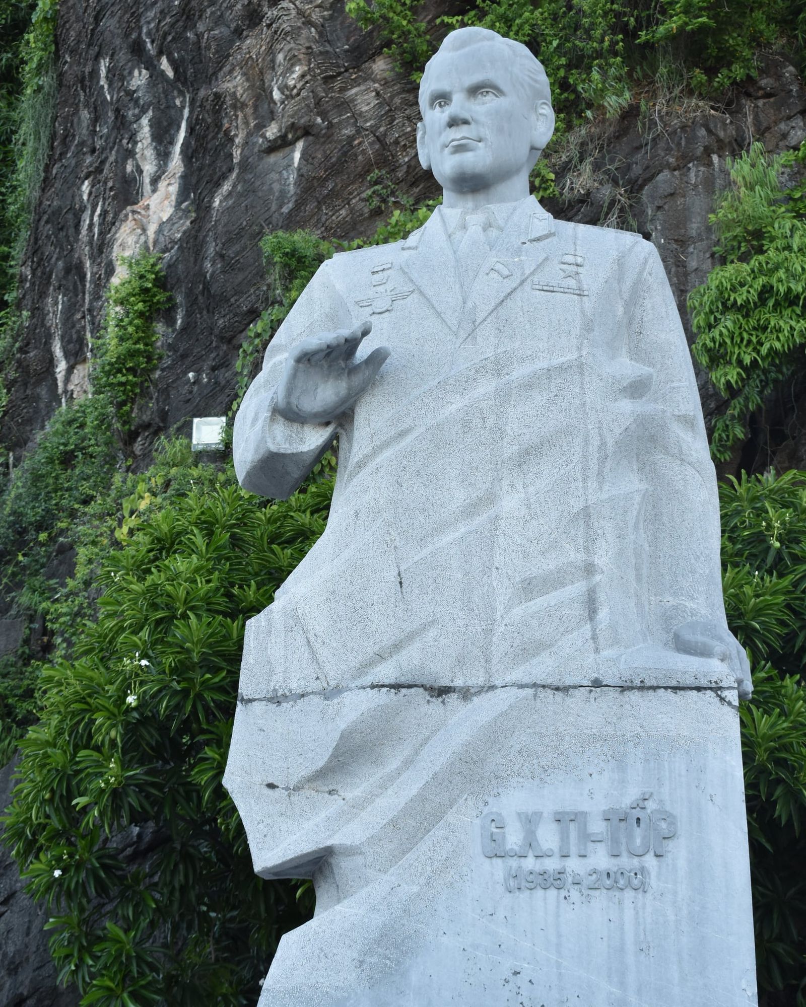
Hồ Chí Minh brings the Soviet cosmonaut Gherman Titov to the island now called Đảo Ti Tốp (Ti Top Island) and names it after him.
-
5 August 1964
First US air strikes reach Hòn Gai
US Navy aircraft make the first US air strikes on North Vietnam after the Gulf of Tonkin incident, hitting targets near Hòn Gai. A pilot who is shot down parachutes into Hòn Gai and is captured.
The coal company’s output rose from 2,000 tonnes in 1890 to 2.6 million in 1939, most of it exported, with Japan the main buyer. On 24 March 1946 Hồ Chí Minh held talks with the French High Commissioner Thierry d’Argenlieu aboard the cruiser Émile Bertin, and the Board says he flew to the bay from Hanoi in a seaplane. Accords between France and the former emperor Bảo Đại were signed aboard a French warship in the bay on 5 June 1948, and French troops left the mining area in late April 1955.
In October 1957 Hồ Chí Minh toured the bay by boat and climbed the 90 steps to Hang Đầu Gỗ. On 22 January 1962 he brought the Soviet cosmonaut Gherman Titov to an island and named it after him: Đảo Ti Tốp, the only island in the bay he named, now on the islands page. A stone statue of Titov has stood by the island’s piers since 2015.
On 5 August 1964 a US Navy pilot who was shot down parachuted into Hòn Gai and was captured; he was freed in 1973.
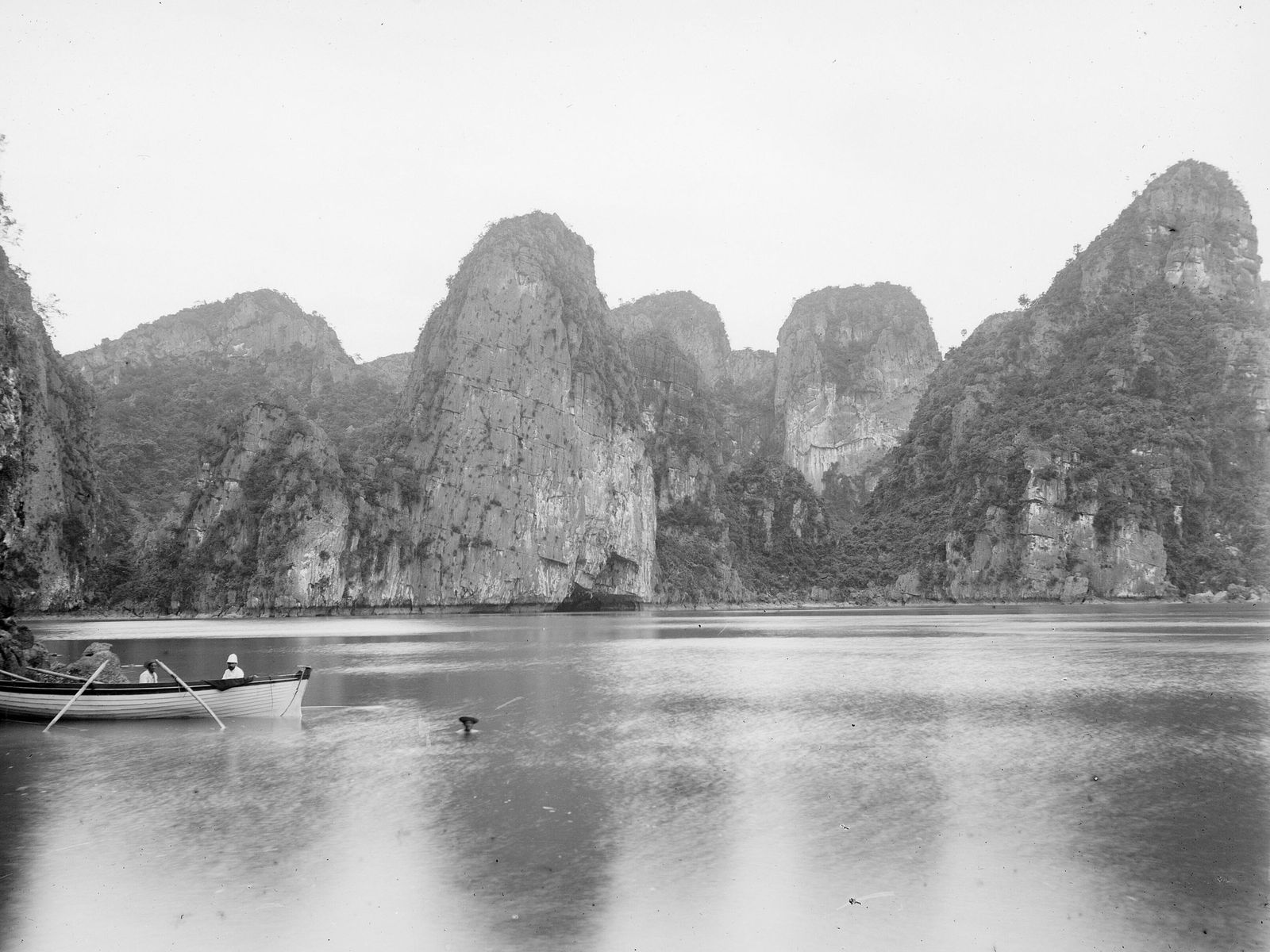
The bay’s caves were opened up in the same century. The French knew Hang Sửng Sốt by the early 20th century, Hồ Ba Hầm has drawn tourists since the 1930s, and in 1958 Nguyễn Duy Kiên photographed a red bat-wing sail from inside Hang Bồ Nâu, a picture regarded as the bay’s first notable art photograph. Động Thiên Cung, found in 1993, opened on 1 May 1998, and walkways were built in Sửng Sốt and Đầu Gỗ in 1999.
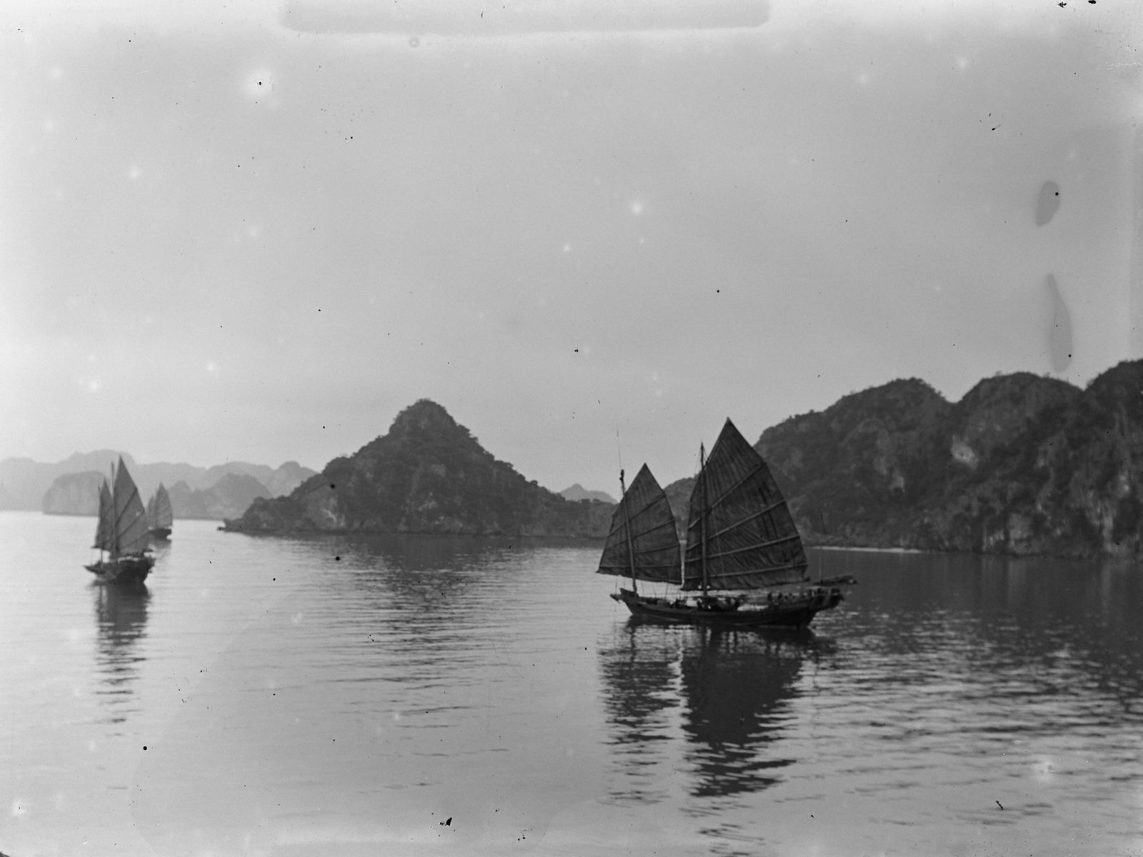
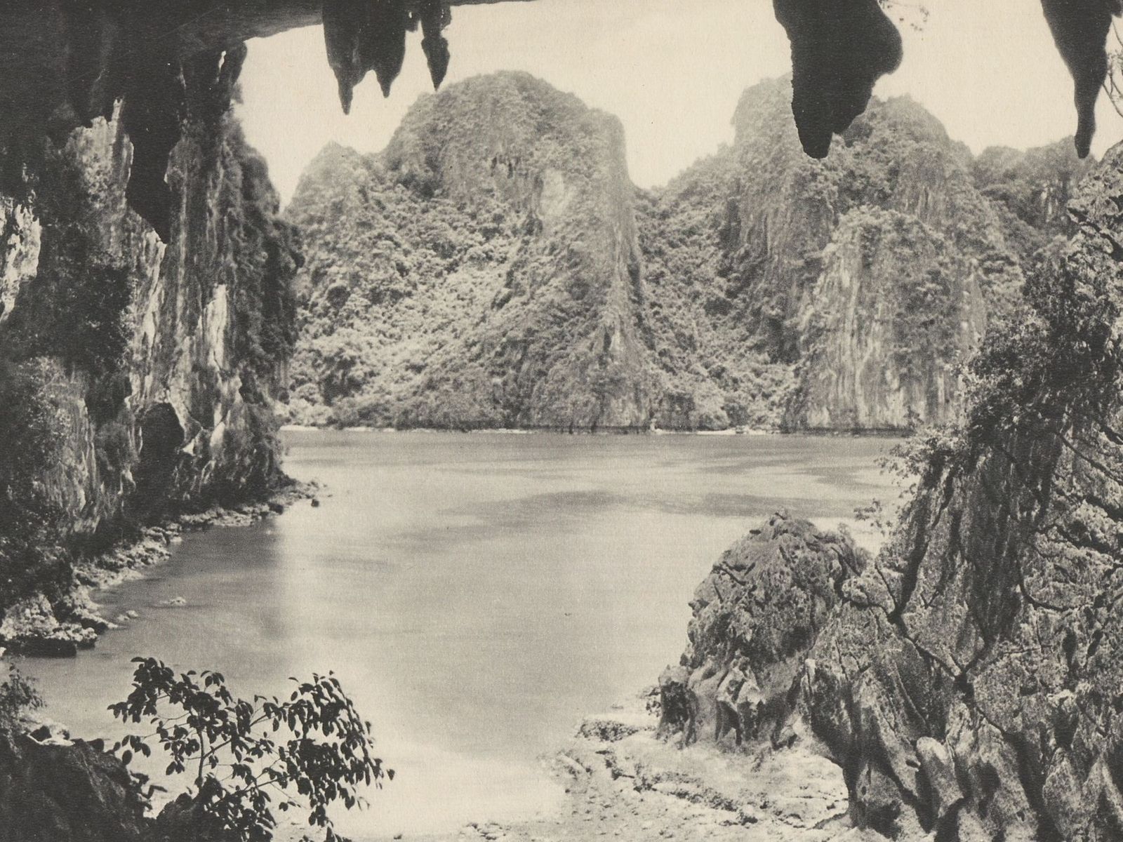
Ha Long Bay and UNESCO
UNESCO inscribed Ha Long Bay on the World Heritage List on 17 December 1994 for its exceptional scenic beauty, added geology as a second criterion on 2 December 2000, and on 16 September 2023 extended the property to the Cát Bà archipelago. The New7Wonders of Nature title of 2011 came from a popular online and phone vote run by a private foundation, and UNESCO’s World Heritage listing is a separate process with expert evaluation.
-
17 December 1994
UNESCO inscribes the bay
The World Heritage Committee inscribes Ha Long Bay at its 18th session in Phuket, for exceptional natural beauty. The core area is 434 square kilometres.
-
2 December 2000
Geology criterion added
At its 24th session in Cairns the Committee adds criterion (viii) for geology and geomorphology. The area stays at 434 square kilometres.
-
11 November 2011
New7Wonders of Nature vote closes
Ha Long Bay is named one of seven winners of a popular online and phone vote run by the private New7Wonders Foundation. UNESCO's World Heritage listing is a separate process.
-
2014
Floating villages moved ashore
The province moves the bay's floating-village households ashore to a resettlement area in Hà Phong ward. The Board counts 354 households, nearly 2,000 people, from seven villages.
-
16 September 2023
Cát Bà archipelago added
At its 45th session in Riyadh the Committee approves extending the property to the Cát Bà archipelago. It becomes Ha Long Bay - Cat Ba Archipelago, with 1,133 islands.
-
7 September 2024
Typhoon Yagi
Typhoon Yagi makes landfall between Hải Phòng and Quảng Ninh and breaks or uproots 95% of the greenery at the bay's visitor sites. All five routes are open again by 20 September.
-
1 July 2025
Hạ Long city dissolved
The former city of Hạ Long is split into wards, for example Tuần Châu and Bãi Cháy. The name Hạ Long survives as the name of the bay.
-
1 November 2025
One Board for the heritage site
The Ha Long Bay - Yen Tu World Heritage Management Board is formed. It merges the Ha Long Bay Management Board, the Bái Tử Long National Park board and the provincial relics and scenic-sites board.
-
1 September 2026
Quảng Ninh becomes a city
Quảng Ninh, a province until 31 August 2026, becomes a centrally governed city on the same boundaries.
The 1994 listing nearly stalled. The nomination had been put on hold until Viet Nam set up a legal framework, revised the boundaries and started a management programme, and Viet Nam then nominated a smaller site of 434 km², passed legislation described as “reasonably satisfactory” and provided one boat and a minimum of staff to patrol it. The Committee asked for a stronger law, a zoned management plan, more staff and surveys of the growing number of tourists. In 2000 IUCN called the bay “the most extensive and best known example of marine invaded tower karst”, and the geology criterion followed.
The 2023 extension went against IUCN’s advice. Its evaluation of 2022 recommended deferring the nomination, citing integrity, protection and management, but on 14 September 2023 Thailand, with India, Mali and Nigeria, proposed approving it instead, and the Committee agreed, attaching a long list of conditions. The extension added most of Cát Bà National Park, its marine protected areas and the Long Châu island group, which includes Lan Hạ Bay, bringing the property to 1,133 islands. Bái Tử Long Bay is not part of it.
Since then UNESCO has watched closely. IUCN’s World Heritage Outlook rated the property “good with some concerns” in 2014, 2017 and 2020 and “significant concern” in 2025, with mass tourism infrastructure among the threats it rates very high. The Committee’s decisions of 2024 and 2025 voiced concern about tourism and housing projects along the Hạ Long coast and on Cát Bà, and in 2025 it warned that continuing them could lead to the property facing potential danger. The property was not on the List of World Heritage in Danger in that decision, and the outcome of the Committee’s session in Busan in July 2026 has not yet been read (checked October 2026).
The New7Wonders vote is often confused with the UNESCO listing. It was run by the Swiss-based New7Wonders Foundation, allowed repeat voting and closed on 11 November 2011 with a claimed 100 million votes, the foundation’s own unaudited figure. Ha Long Bay was named one of the seven winners, with the Amazon, Jeju, Iguazú, the Puerto Princesa Underground River, Komodo and Table Mountain.
Films shot in Ha Long Bay
Indochine, released in 1992 and winner of the Academy Award for Best Foreign Language Film, was shot in Vietnam mainly in Huế, Ha Long Bay and Ninh Bình, and its story sends a naval officer to a remote French base in the bay. Part of the 2016 shoot of Kong: Skull Island was scheduled for the Ba Hang area of the bay and the waters off Cát Bà on 17 and 18 March 2016, and the Board says the Ba Hang caves were used as a location.
Tomorrow Never Dies is set in Ha Long Bay but was filmed in Thailand: Vietnam rescinded the permit two months after planning began, and the bay where James Bond searches for the stealth boat is Phang Nga Bay. Ha Long scenery appears in the imagery of The Creator (2023), whose main shoot was in Thailand, and no source places the filming of Pan (2015) in the bay. The 200,000 VND polymer note, issued in 2006, shows a Ha Long Bay scene that the press identifies as Hòn Đỉnh Hương, the Incense Burner.
Plants and wildlife
The Board records nearly 3,000 plant and animal species in Ha Long Bay (Board figures, 2024, with no survey year given), including 507 land plants, 110 coral species, 156 marine fish, 71 birds and 53 mammals, across ten types of ecosystem from island forest and saltwater lagoons to caves, mangroves, seagrass beds and coral reefs. Seventeen plant species have been recorded only in the bay. The best known is the Hạ Long palm (cọ Hạ Long, Livistona halongensis), a fan palm up to about 10 m tall that grows in crevices on the limestone, first collected in 1999.
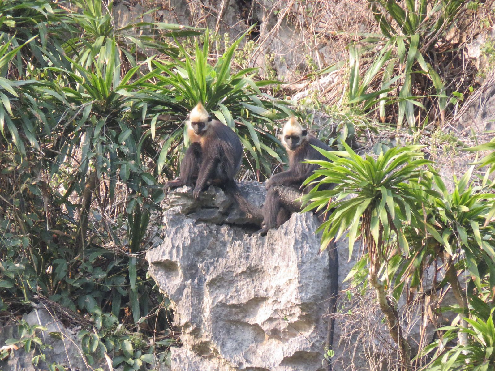
The caves have their own residents, among them the endangered Cát Bà tiger gecko and the Hạ Long cave crab. The critically endangered Cát Bà langur lives on Cát Bà Island, across the water from Ha Long Bay. Its population had fallen by 97% since the 1960s through hunting, and the conservation project counted more than 90 animals in September 2024, up from about 40 around 2000. The richest coral reefs, with 30 to 45% cover, are at Cống Đỏ, Trà Sản, Hang Trai and Đầu Bê, but IUCN has noted concern about pollution and silt, and coastal reclamation has left the shore with almost no seagrass meadows.
Questions visitors ask
Is Ha Long Bay one of the Seven Wonders of the World?
Ha Long Bay was named one of the seven winners of the New7Wonders of Nature vote on 11 November 2011, a popular online and phone vote run by a private foundation. UNESCO’s World Heritage listing, which the bay has held since 1994, is a separate process with expert evaluation.
What does the name Ha Long mean?
Hạ Long means “dragon descends” or “descending dragon”. In the legend as the Board tells it, a Mother Dragon came down here to help the Việt against invaders and spat out jewels that became the islands.
How old is Ha Long Bay?
The limestone is roughly 350 to 260 million years old, but the bay as a seascape is young: the sea has been flooding the towers since about 20,000 years ago. A figure of 500 million years also circulates, but the Board uses it for the length of the region’s wider geological record.
Were the Bach Dang battles fought in Ha Long Bay?
No. The battles of 938, 981 and 1288 were fought on the Bạch Đằng River, west of the bay. A separate sea battle in late January 1288 was fought off Vân Đồn, in Bái Tử Long Bay to the north-east.
Which films were shot in Ha Long Bay?
Indochine (released 1992) was shot partly in the bay, and part of the Kong: Skull Island shoot was scheduled there in March 2016. Tomorrow Never Dies is set in the bay but was filmed in Thailand.
Why is the water green?
The bay is shallow, sheltered and fed by six rivers, so sediment and changing salinity colour the water and its tone shifts with the seasons. No study of the bay’s own water colour has been found, so this is the general explanation.
Sources
Facts checked- Ha Long Bay - Yen Tu World Heritage Management Board, Giá trị Địa chất - Địa mạo (geology and geomorphology), updated 3 November 2024.
- Ha Long Bay - Yen Tu World Heritage Management Board, Giá trị Văn hóa - Lịch sử (culture and history), updated 1 November 2024.
- Ha Long Bay - Yen Tu World Heritage Management Board, Nguồn gốc tên gọi (origin of the name), updated 6 November 2024.
- Ha Long Bay - Yen Tu World Heritage Management Board, Giá trị Đa dạng sinh học (biodiversity), updated 2 November 2024.
- Ha Long Bay - Yen Tu World Heritage Management Board, Các danh hiệu của vịnh Hạ Long (titles of the bay).
- Ha Long Bay - Yen Tu World Heritage Management Board, Khắc ghi lời Bác căn dặn trên vùng di sản Hạ Long, updated 19 May 2026.
- Ha Long Bay - Yen Tu World Heritage Management Board, Natural conditions, updated 6 November 2024.
- UNESCO World Heritage Centre, Ha Long Bay - Cat Ba Archipelago, list entry 672.
- UNESCO World Heritage Committee, Report of the 18th session, Phuket (WHC-94/CONF.003/16), 1994.
- UNESCO World Heritage Committee, Decision 45 COM 8B.3, 16 September 2023.
- UNESCO World Heritage Committee, Decisions 46 COM 7B.67 (2024) and 47 COM 7B.16 (2025).
- UNESCO World Heritage Centre, UNESCO confirms that it is not involved in the New 7 wonders of the world campaign, 9 July 2007.
- IUCN, World Heritage technical evaluations of Ha Long Bay (documents 154005 and 205800), 2000 and 2022.
- IUCN, World Heritage Outlook: Ha Long Bay - Cat Ba Archipelago, 2025.
- NASA Earth Observatory, The Emerald Isles of Ha Long Bay, 2021.
- NOAA National Ocean Service, Why is the ocean blue?.
- Tuổi Trẻ, Vịnh Hạ Long - Cát Bà chính thức trở thành di sản thế giới, 16 September 2023.
- Tuổi Trẻ, Xuất xứ tên gọi Vịnh Hạ Long, 24 October 2007.
- Tuổi Trẻ, Đoàn làm phim Kong: Skull Island quay tại Hạ Long, Cát Bà, 11 March 2016.
- Báo Quảng Ninh, Article on King Khải Định's 1918 visit and the stele at Hang Đầu Gỗ, 28 August 2019.
- Báo Quảng Ninh, Núi Bài Thơ - Niềm tự hào của Quảng Ninh, 5 July 2021.
- Báo Quảng Ninh, Huyền tích Đầu Gỗ, 1 May 2013.
- Saigon Giai Phong, French film Indochine re-screened in Vietnam, 3 November 2016.
- VnExpress, Quần thể voọc Cát Bà tăng lên hơn 90 con, 2 September 2024.
- Field and Chowdhury, Some Kind of Hero (on the filming of Tomorrow Never Dies), 2015.
- International Plant Names Index, Livistona halongensis.
Prices, fees and timetables change. Figures on this page were checked in the month shown on the postmark.